Elevation of California St, Yucaipa, CA, USA
Location: United States > California > San Bernardino County > Yucaipa >
Longitude: -117.03998
Latitude: 34.024071
Elevation: 792m / 2598feet
Barometric Pressure: 92KPa
Elevation Map:
Satellite Map:
Related Photos:

Spring Valley

7 Oaks Dam

Early Morning View

Lake Perris, Surrounded by Hills and Mountains

Back From the Desert

Arched Doorway, Redlands Alleys 10-27-13s

Sound of Music at the Redlands Bowl...

Sunset Valley I

View from Buff Rd LE

Only the Best

San Bernardino Valley

Day 347/365: I know I'm going where the sun always shines (explored #328 on June 8, 2009)

Big Falls Stream - Forest Falls, CA, USA

Santa Ana River Valley
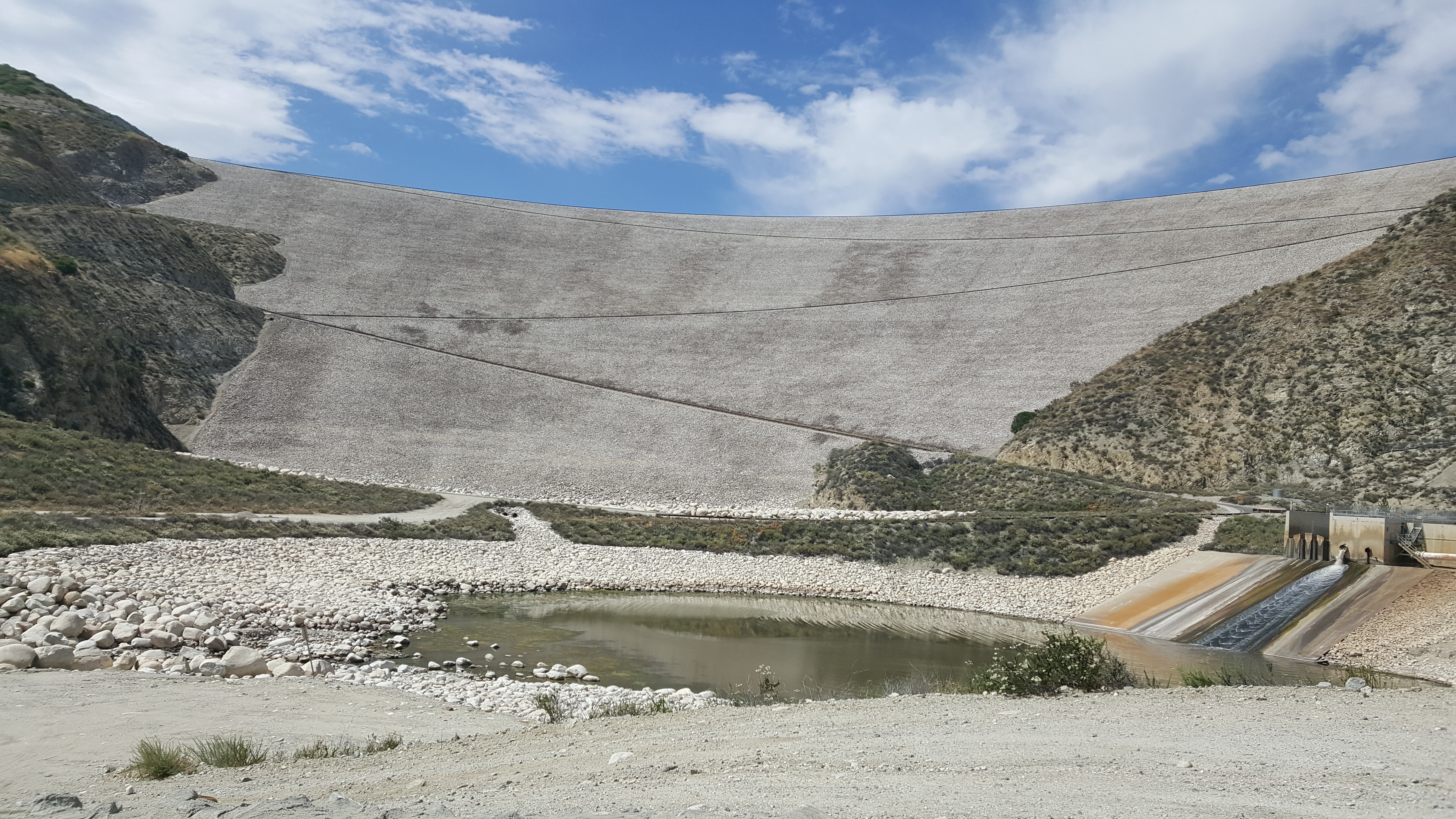
Seven Oaks Dam
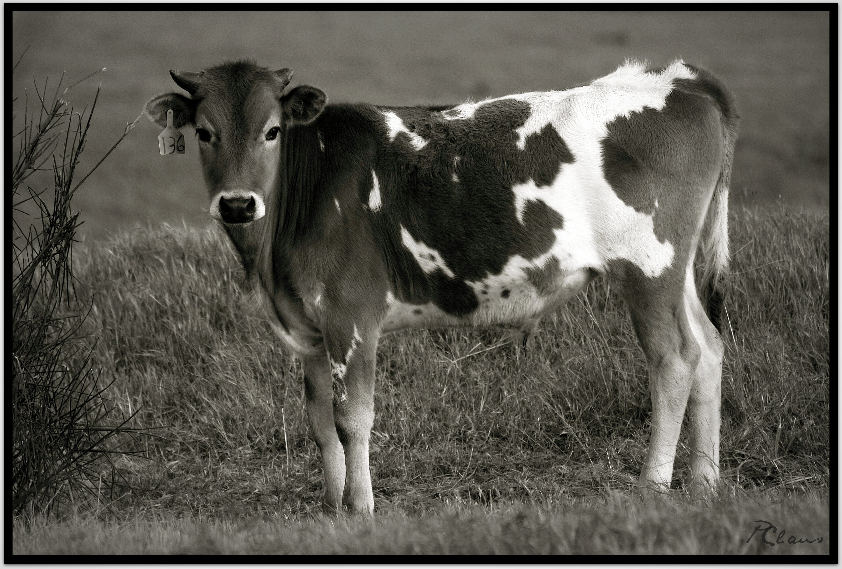
Sweet: Number 136.

ATK 714E @ El Casco

Not Too Shabby

Valley View II

Big Falls Creek Long Exposure

1 of (7) LOWER Falls- Valley of Falls, Mill Creek Canyon, San Bernadino Mountains

Mill Creek Canyon

Lush Hills

Mill Creek Canyon

Fire under a Full Moon

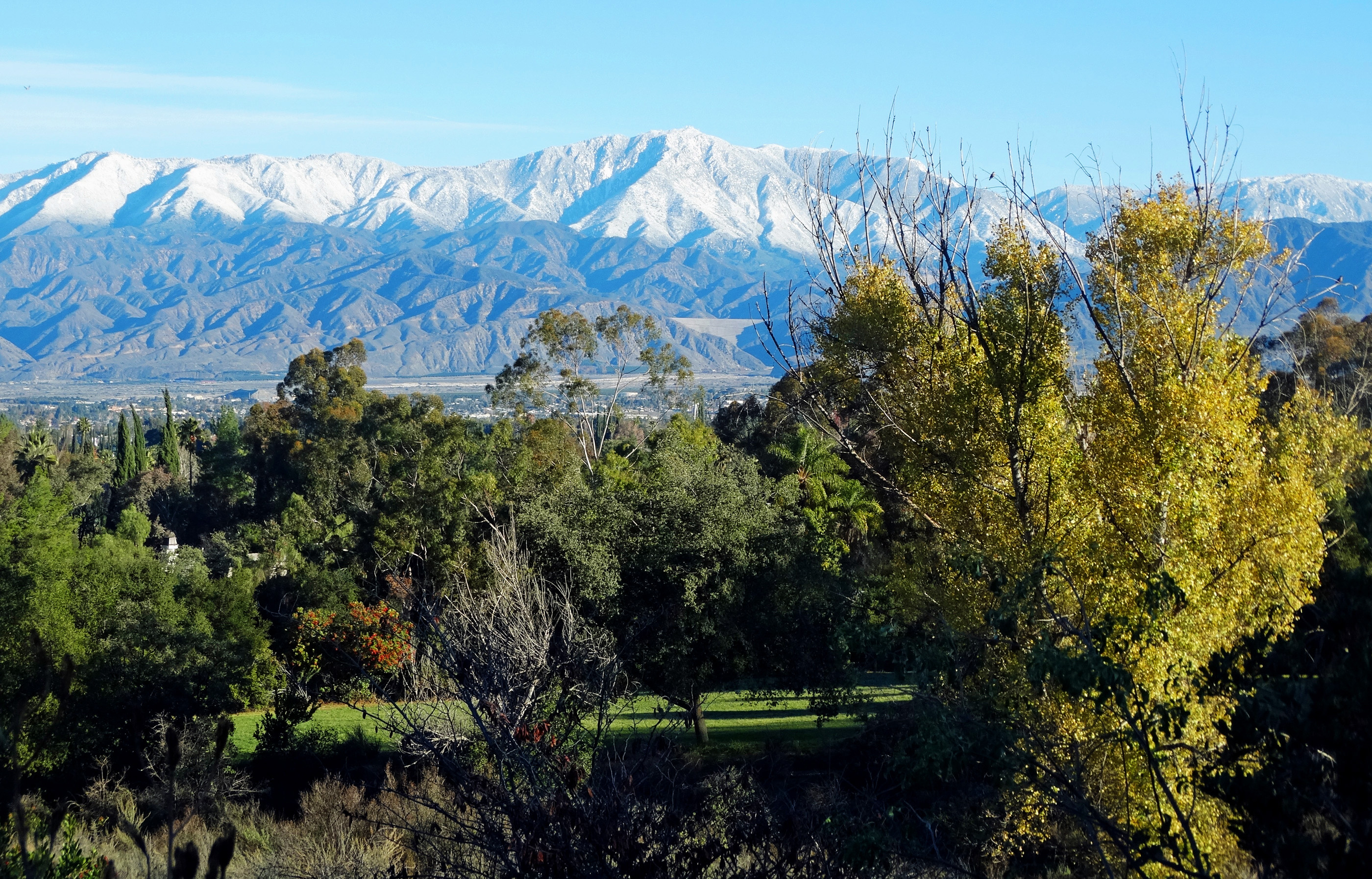
San Gabriel Mountains over Inland Empire, CA 2016 (In EXPLORE)

Snow Creek

Lumonitious Landscape

Spring Trail II

Spring Valley Gorge

New Season

Mill Creek and Storm III

Mill Creek Storm Sunset
San Bernardino Mountains, Christmas 2016

Hills from Jack Rabbit Trail
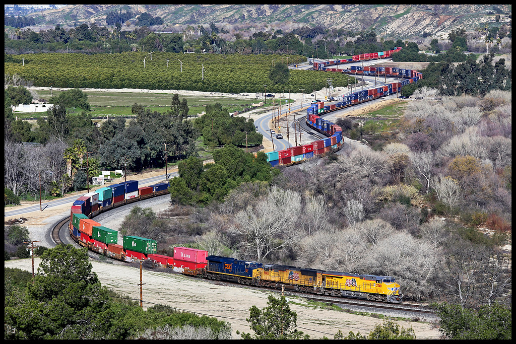
UP 2748

Snaking Up Beaumont

Beaumont, California

Mill Creek Canyon
Topographic Map of California St, Yucaipa, CA, USA
Find elevation by address:

Places near California St, Yucaipa, CA, USA:
12539 California St
12866 California St
12700 2nd St
12700 2nd St
12700 Bryant St
12777 Bryant St
12296 Bryant St
12902 Foxwood Dr
35280 Wildwood Canyon Rd
13043 Orchid St
12406 3rd St
12387 Custer St
Yucaipa
12367 4th St
12821 4th St
12008 2nd St
35255 Beech Ave
12566 Fremont St
35610 Mountain View St
12955 4th St
Recent Searches:
- Elevation of Kingsfield St, Castle Rock, CO, USA
- Elevation of AMELIA CT HSE, VA, USA
- Elevation of Abbey Dr, Virginia Beach, VA, USA
- Elevation of Brooks Lp, Spearfish, SD, USA
- Elevation of Panther Dr, Maggie Valley, NC, USA
- Elevation of Jais St - Wadi Shehah - Ras al Khaimah - United Arab Emirates
- Elevation of Shawnee Avenue, Shawnee Ave, Easton, PA, USA
- Elevation of Scenic Shore Dr, Kingwood Area, TX, USA
- Elevation of W Prive Cir, Delray Beach, FL, USA
- Elevation of S Layton Cir W, Layton, UT, USA