Elevation of Custer St, Yucaipa, CA, USA
Location: United States > California > San Bernardino County > Yucaipa >
Longitude: -117.03196
Latitude: 34.0286335
Elevation: 836m / 2743feet
Barometric Pressure: 92KPa
Elevation Map:
Satellite Map:
Related Photos:

Sunset Valley I

View from Buff Rd LE

Only the Best

Spring Valley

San Bernardino Valley

Day 347/365: I know I'm going where the sun always shines (explored #328 on June 8, 2009)

7 Oaks Dam

Santa Ana River Valley
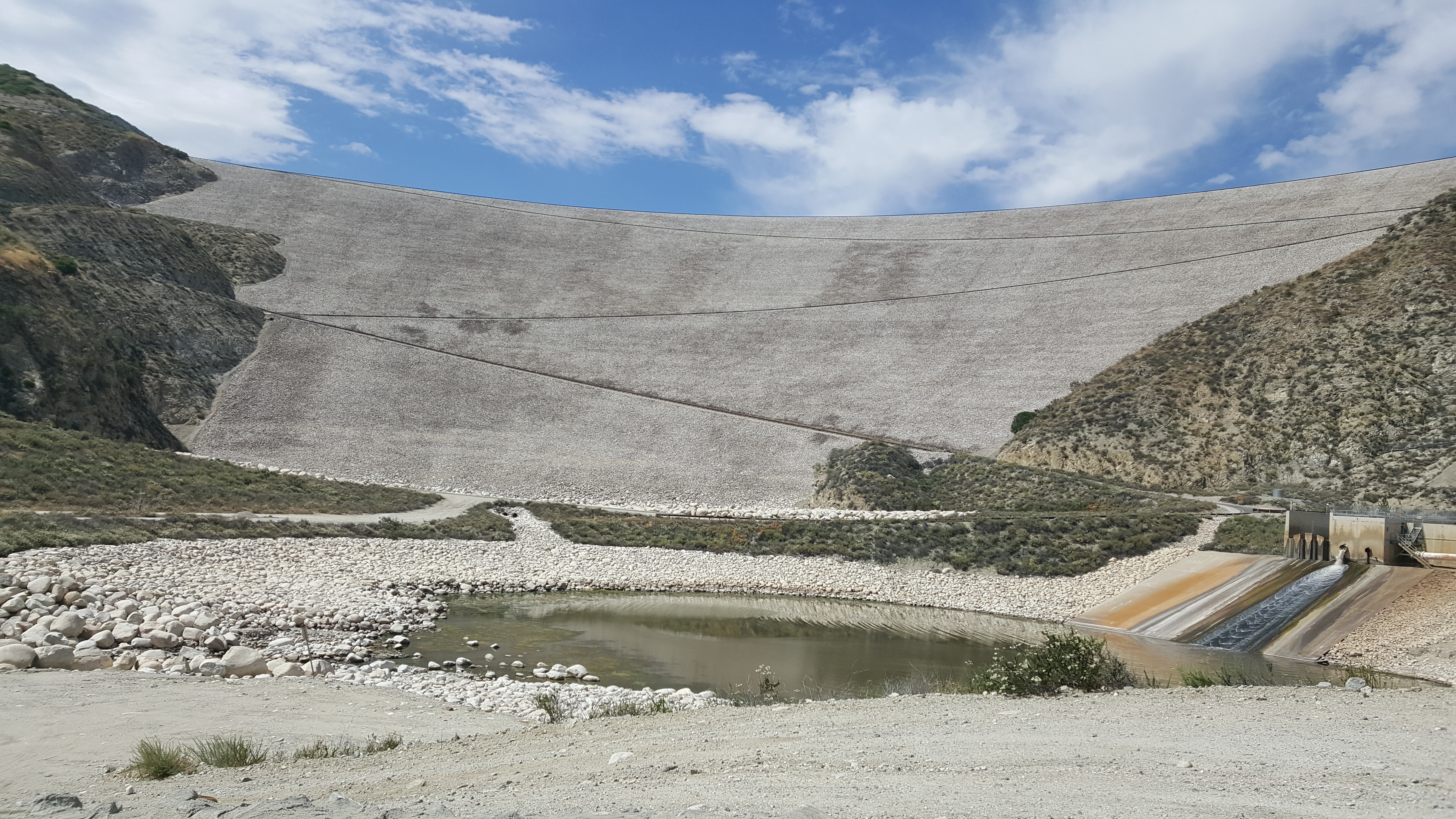
Seven Oaks Dam
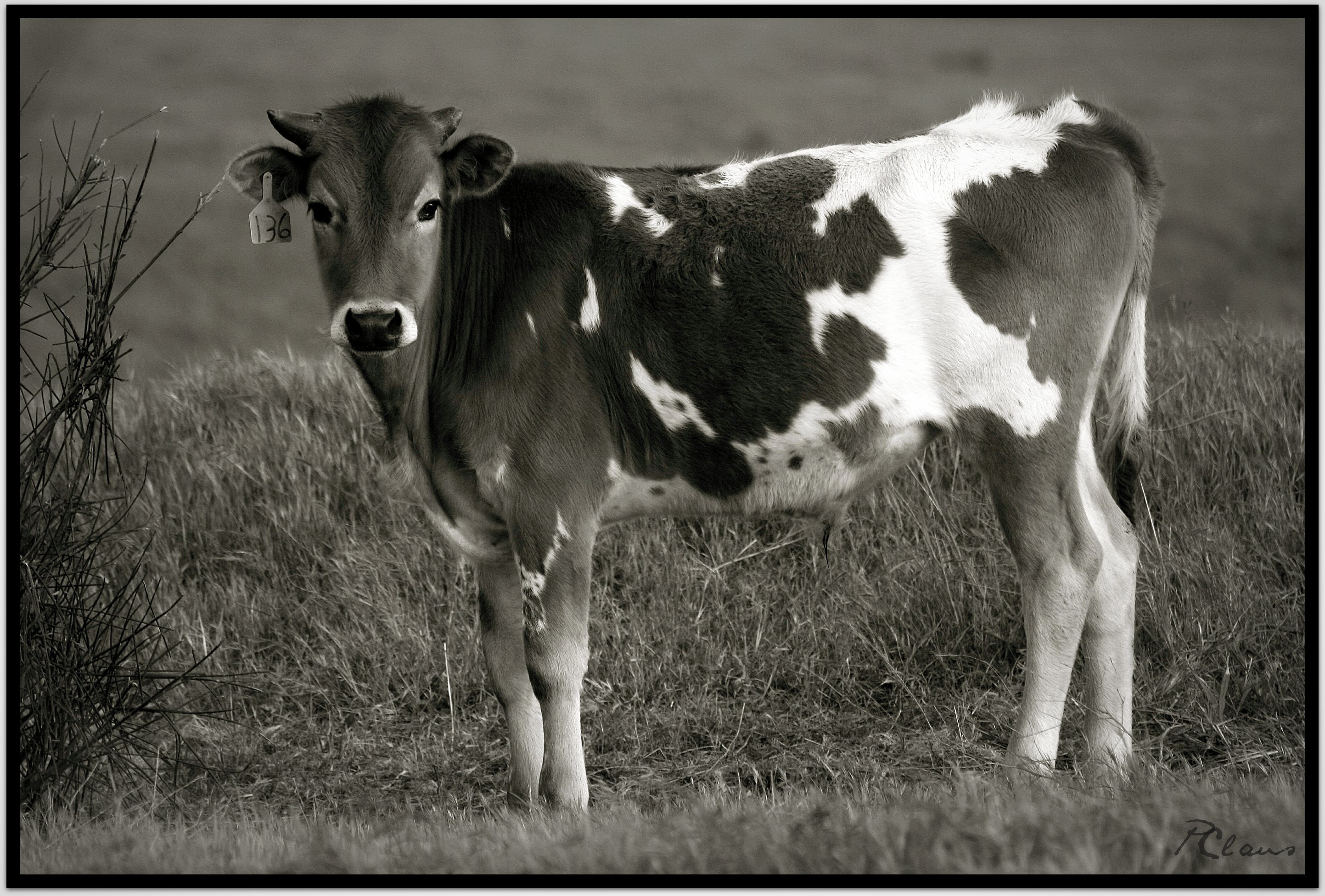
Sweet: Number 136.

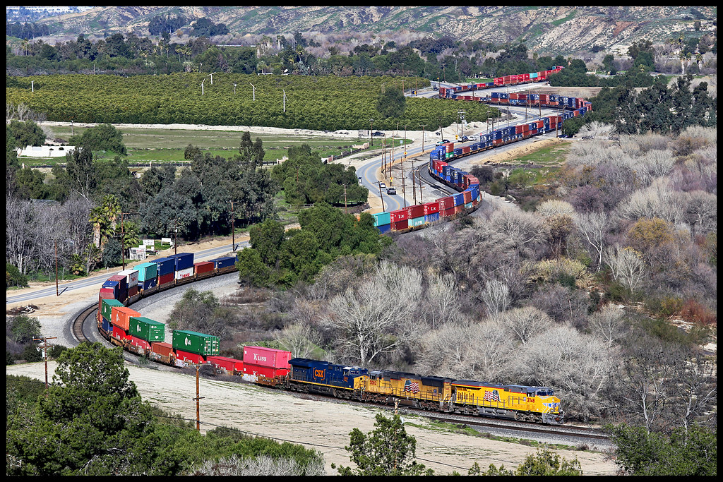
ATK 714E @ El Casco

Not Too Shabby

Valley View II

Early Morning View

Lake Perris, Surrounded by Hills and Mountains

1 of (7) LOWER Falls- Valley of Falls, Mill Creek Canyon, San Bernadino Mountains

Valley View

Back From the Desert

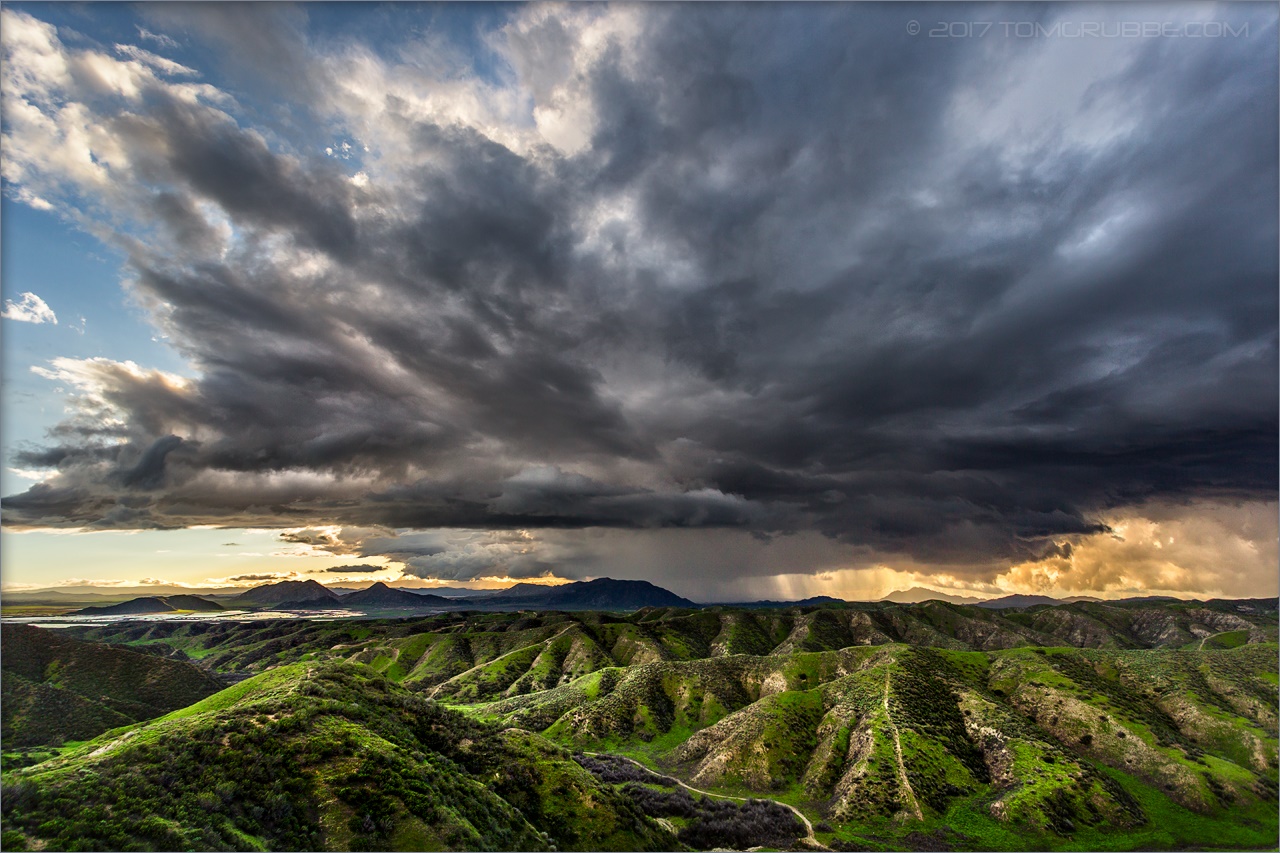
The Storms of Late Summer

Moreno Valley, San Bernardino County, California

Arched Doorway, Redlands Alleys 10-27-13s

Snaking Up Beaumont

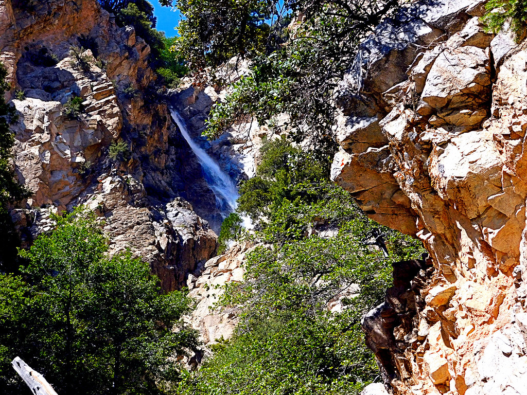
Mill Creek Canyon

Lush Hills

Beaumont, California

Mill Creek Canyon
UP 2748

San Gabriel Mountains over Inland Empire, CA 2016 (In EXPLORE)
Upper Forest Falls

Jack Rabbit Trail Road
Jack Rabbit Storm

Snow Creek

UP 7492

Lumonitious Landscape

Spring Trail II

Palms, Oranges and San Gabriel Mountains, CA Christmas 2016

Jeffrey Pine

Spring Valley Gorge

New Season

Spring Trail
Topographic Map of Custer St, Yucaipa, CA, USA
Find elevation by address:

Places near Custer St, Yucaipa, CA, USA:
12296 Bryant St
12700 Bryant St
12566 Fremont St
12777 Bryant St
12539 California St
35468 Beech Ave
35695 Crestview Dr
35255 Beech Ave
35610 Mountain View St
12650 California St
35580 Rancho Rd
12866 California St
Yucaipa
35345 Date Ave
13043 Orchid St
Bryant Street
35213 Date Ave
35280 Wildwood Canyon Rd
11665 Lennox St
12008 2nd St
Recent Searches:
- Elevation of Shawnee Avenue, Shawnee Ave, Easton, PA, USA
- Elevation of Scenic Shore Dr, Kingwood Area, TX, USA
- Elevation of W Prive Cir, Delray Beach, FL, USA
- Elevation of S Layton Cir W, Layton, UT, USA
- Elevation of F36W+3M, Mussoorie, Uttarakhand, India
- Elevation of Fairland Ave, Fairhope, AL, USA
- Elevation of Sunset Dr, Richmond, VA, USA
- Elevation of Grodna District, Hrodna Region, Belarus
- Elevation of Hrodna, Hrodna Region, Belarus
- Elevation of Sandia Derby Estates, Tijeras, NM, USA