Elevation of Pinewood Ln, Yucaipa, CA, USA
Location: United States > California > San Bernardino County > Yucaipa >
Longitude: -117.01423
Latitude: 34.0176779
Elevation: 877m / 2877feet
Barometric Pressure: 91KPa
Elevation Map:
Satellite Map:
Related Photos:

View from Buff Rd LE

Bogart Park_0068

ATK 714E @ El Casco
.

Bogart Park_0059

Bogart Park_0041

Original to these lands.

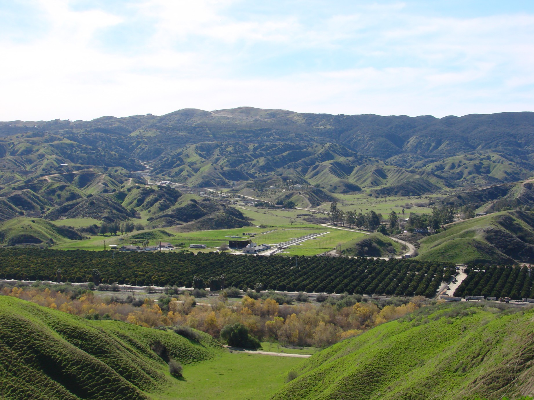
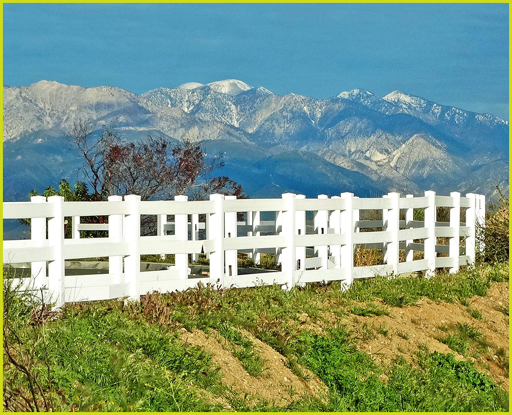
Mountains from Panorama Point 11-18-12

Bogart Park_0039

Bogart Park_0003

Swim Lane
Bogart Park_0069

Living Large, Canyon View, Redlands 5-19-13
Bogart Park_0070
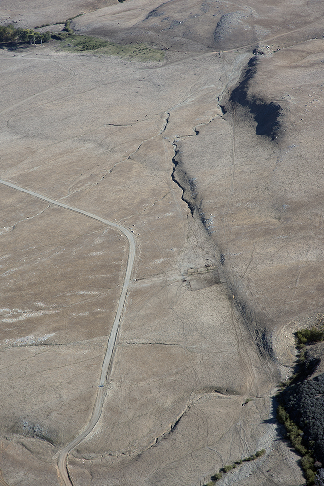
Aerial view of the San Andreas Fault, Burro Flats, Riverside County, California
San Timoteo Canyon, Redlands, CA 8-2011

Bogart Park_0053
Bogart Park_0066

Bogart Park_0048

Bogart Park_0020
Oak Glen Harvest Time 11-10-12

Sunset Valley I

Hills from Jack Rabbit Trail

Mill Creek - Mentone, CA, USA

UP 7492

Mill Creek Canyon

Feelings of Aqua
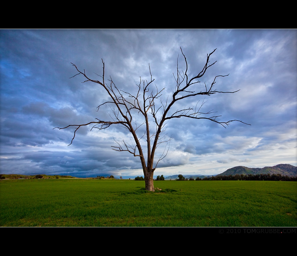
Tree and Field

Garnet St. Bridge - Mentone, CA, USA
Mt. Baldy from Panorama Pt 3-9-14f

Big Falls Creek Long Exposure

Snow Creek

写真 2017-12-09 14 48 17

the view from here [7:52]

San Timoteo Nature Trail

Mill Creek and Storm III
Romy in the field

Spring Valley

Lonely Tree

Bastille Day, 2014

Sunset Valley II
Topographic Map of Pinewood Ln, Yucaipa, CA, USA
Find elevation by address:

Places near Pinewood Ln, Yucaipa, CA, USA:
36251 Poplar Dr
36182 Serape Dr
36503 Cherrywood Dr
36539 Cherrywood Dr
13421 Village Rd
13418 Canyon Crest Rd
12880 Grant St
36106 Leah Ln
13535 Pamela Ct
36210 Ginger Tree Trail
35943 Rebecca Rd
35610 Mountain View St
35566 Barbara Ln
12566 Fremont St
563 E County Line Rd
931 Grant St
35640 Oak Creek Dr
35579 Country Creek Dr
Oak View Road
12777 Bryant St
Recent Searches:
- Elevation of Elwyn Dr, Roanoke Rapids, NC, USA
- Elevation of Congressional Dr, Stevensville, MD, USA
- Elevation of Bellview Rd, McLean, VA, USA
- Elevation of Stage Island Rd, Chatham, MA, USA
- Elevation of Shibuya Scramble Crossing, 21 Udagawacho, Shibuya City, Tokyo -, Japan
- Elevation of Jadagoniai, Kaunas District Municipality, Lithuania
- Elevation of Pagonija rock, Kranto 7-oji g. 8"N, Kaunas, Lithuania
- Elevation of Co Rd 87, Jamestown, CO, USA
- Elevation of Tenjo, Cundinamarca, Colombia
- Elevation of Côte-des-Neiges, Montreal, QC H4A 3J6, Canada