Elevation of California 38 & Bryant Street, CA-38 & Bryant St, California, USA
Location: United States > California > San Bernardino County > Yucaipa >
Longitude: -117.04878
Latitude: 34.0783472
Elevation: 811m / 2661feet
Barometric Pressure: 92KPa
Elevation Map:
Satellite Map:
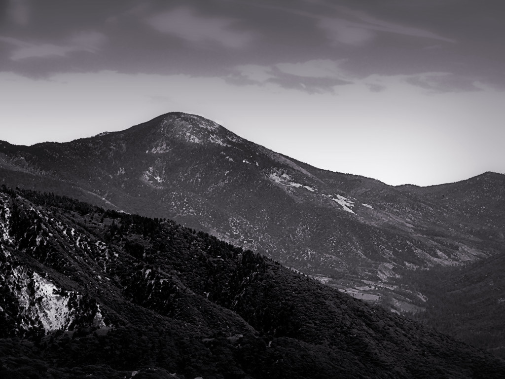
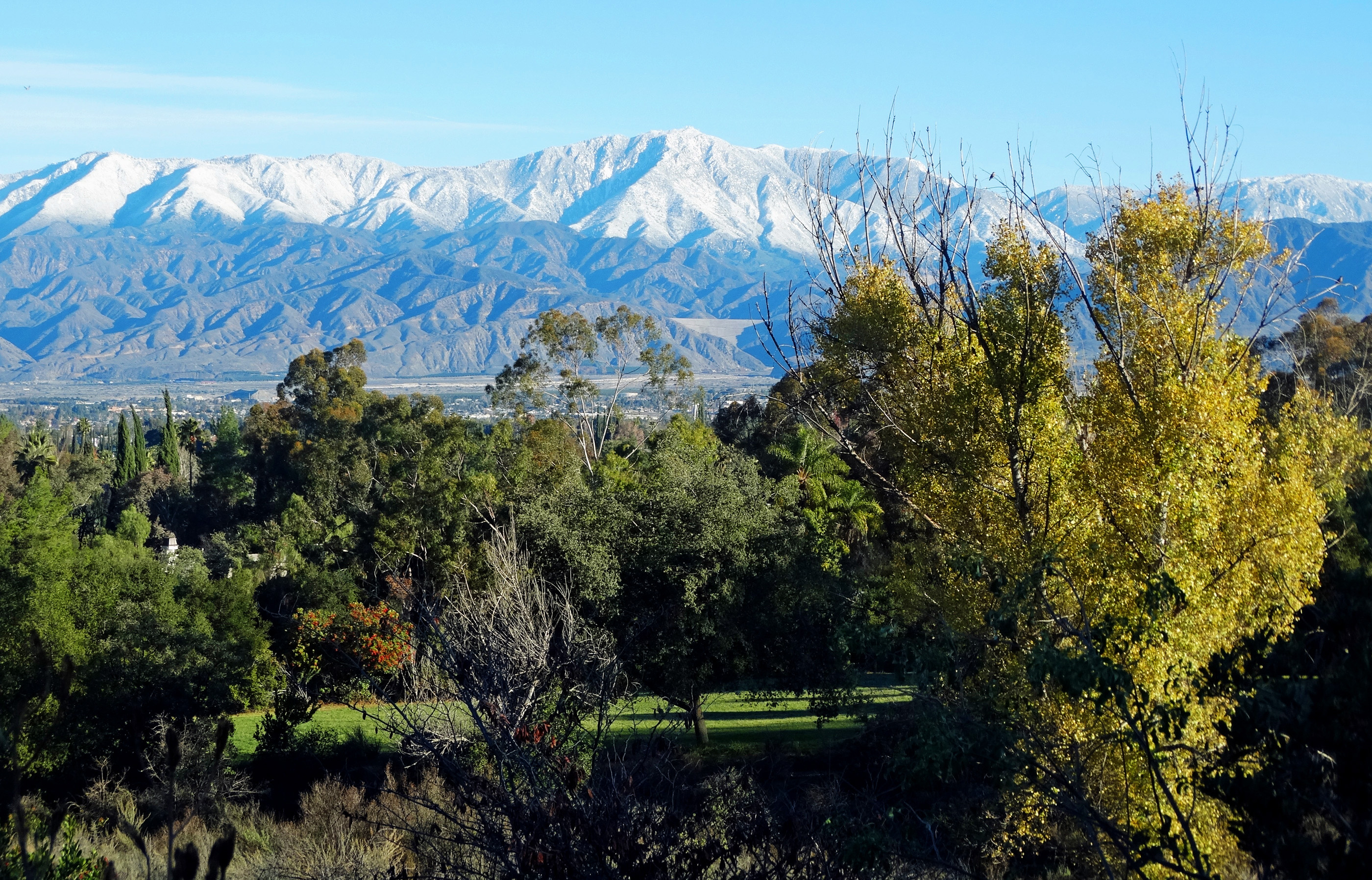
Related Photos:

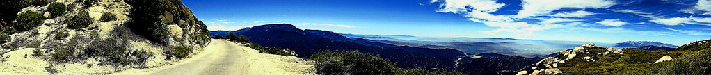
View from Buff Rd LE

A Mixture of Fog and Clouds
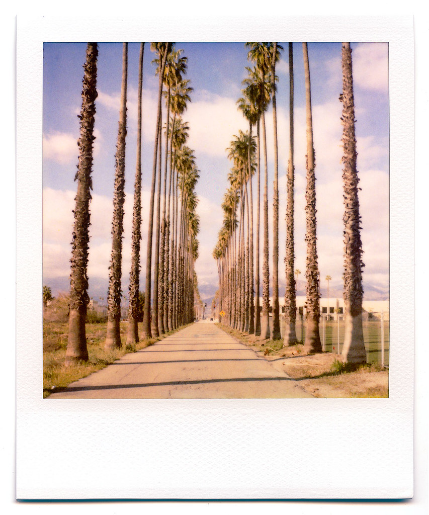
palm trees. north redlands, ca. 2011.
Keller Peak Road and View, SBNF
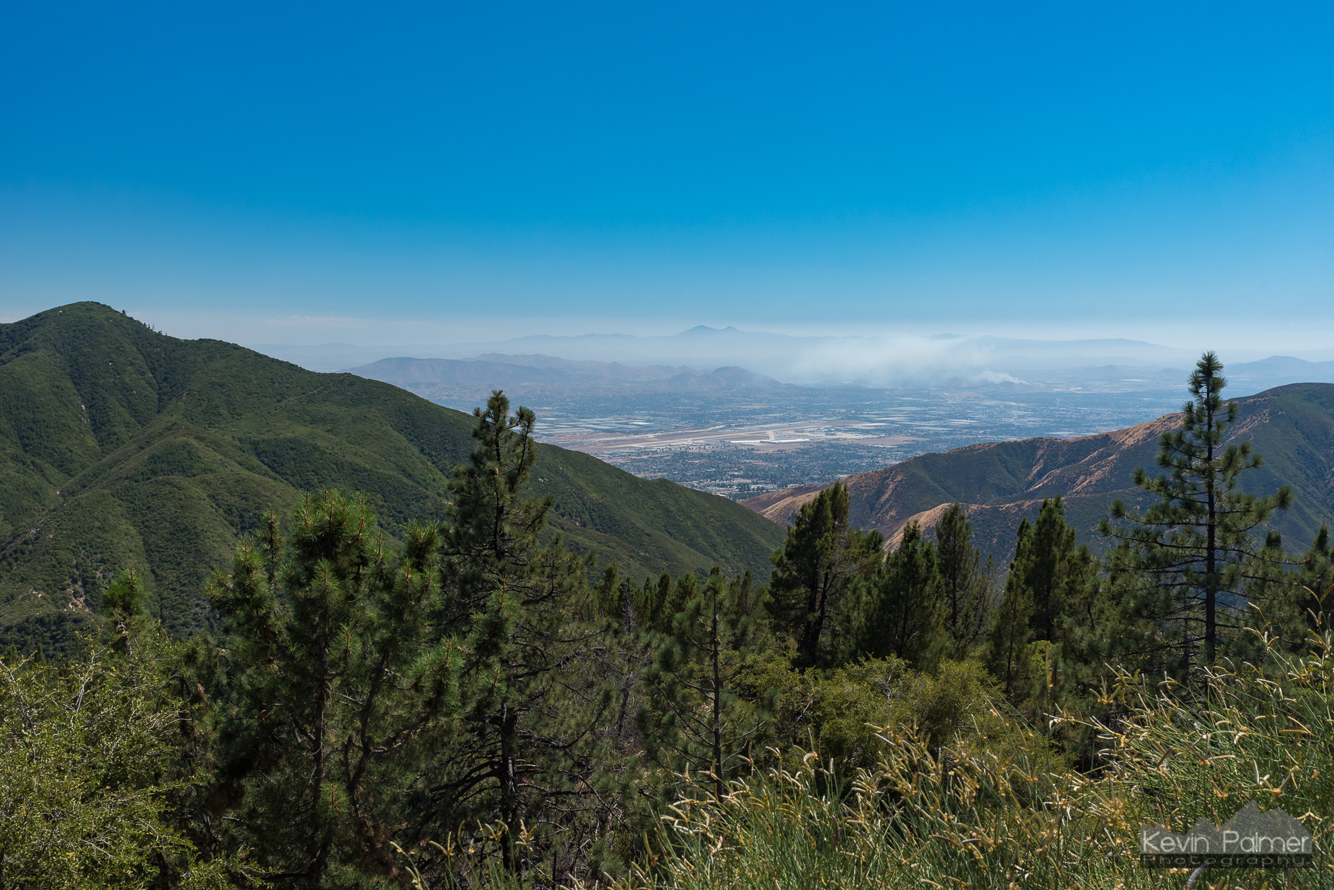
View From Running Springs

prcssd. combat camera. san bernardino, ca. 2011.

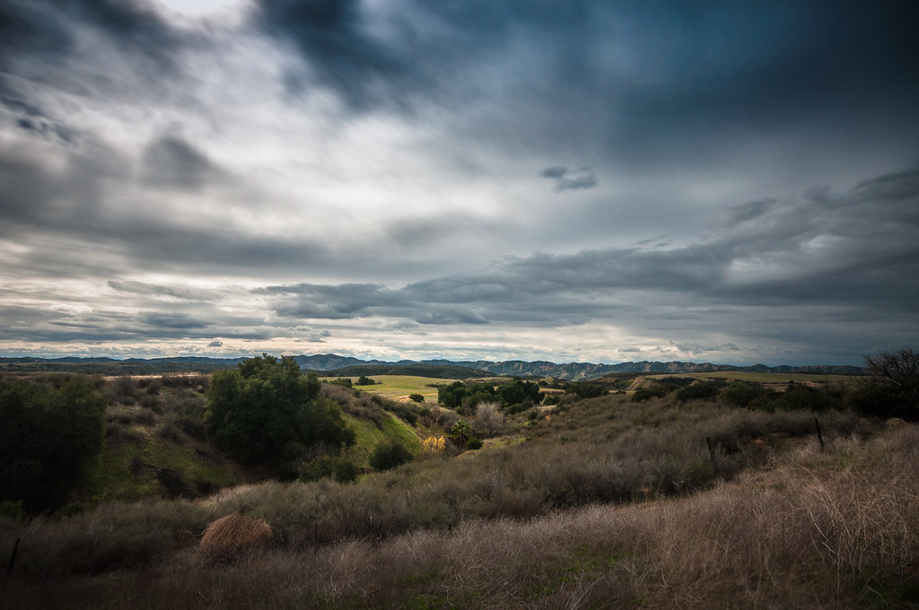
Above the Clouds

7 Oaks Dam

Big Falls Stream - Forest Falls, CA, USA

Thanksgiving Sunset HDR

ATK 714E @ El Casco
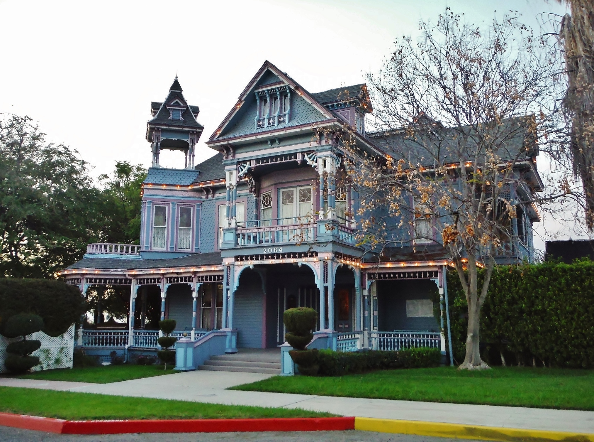
Redlands, CA

Big Falls Creek Long Exposure

Early Morning View

1 of (7) LOWER Falls- Valley of Falls, Mill Creek Canyon, San Bernadino Mountains

Arched Doorway, Redlands Alleys 10-27-13s

Sound of Music at the Redlands Bowl...

Padlocked, Redlands Alleys 10-27-13t
the view from here [7:52]

Living Large, Canyon View, Redlands 5-19-13
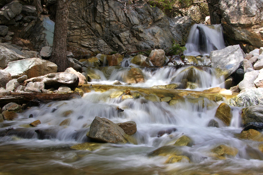
Big Falls Cascading Creek

Mill Creek Canyon

Snaking Up Beaumont

Ponderosa Vista
San Gabriels from Keller Peak, SBNF

Beaumont, California

San Gabriel Mountains over Inland Empire, CA 2016 (In EXPLORE)

Mill Creek Canyon
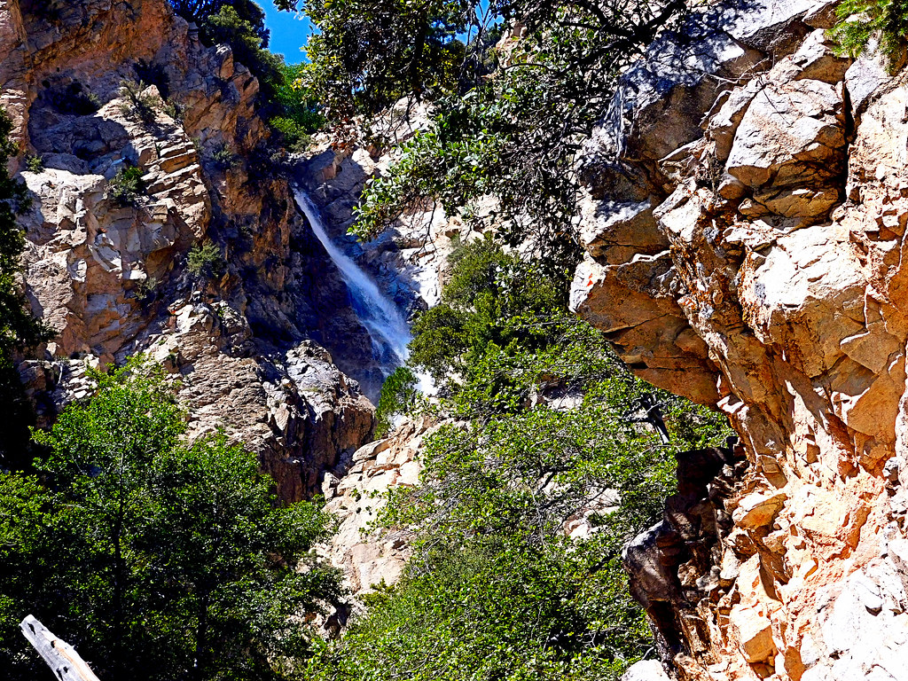
Upper Forest Falls

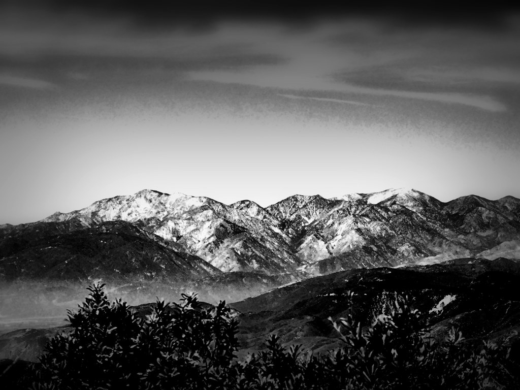
Mount San Bernardino, SBNF

Sunset Valley I

UP 7492

Apple Orchard Autumn, Oak Glen, CA 2019

Palms, Oranges and San Gabriel Mountains, CA Christmas 2016

Mill Creek Storm Sunset
San Gorgonio, SBNF (toned)

Santa Ana River Canyon, SBNF
San Bernardino Mountains, Christmas 2016

Alpine Rockpile and Mountains, SBNF

Pretty Place for a Picnic, Oak Glen, CA 5-20-17

Reach - Forest Falls, CA, USA
Topographic Map of California 38 & Bryant Street, CA-38 & Bryant St, California, USA
Find elevation by address:

Places near California 38 & Bryant Street, CA-38 & Bryant St, California, USA:
34822 Olive Tree Ln
9859 Diamond St
35215 Juniper Ave
10345 Country Ln
Mill Creek Road
10622 Bryant St
10757 Blue Crest Rd
34910 Shadow Wood Dr
35218 Fir Ave
Sunnyside Drive
35536 Sleepy Hollow Ln
10961 Sandalwood Way
35367 Fir Ave
Sleepy Hollow Lane
35685 Sleepy Hollow Ln
11050 Bryant St
10205 Jocelyn Ln
35666 Balsa St
35674 Katona Ct
35678 Katona Ct
Recent Searches:
- Elevation of Falling Spring Rd, Clyde, NC, USA
- Elevation of Kingsfield St, Castle Rock, CO, USA
- Elevation of AMELIA CT HSE, VA, USA
- Elevation of Abbey Dr, Virginia Beach, VA, USA
- Elevation of Brooks Lp, Spearfish, SD, USA
- Elevation of Panther Dr, Maggie Valley, NC, USA
- Elevation of Jais St - Wadi Shehah - Ras al Khaimah - United Arab Emirates
- Elevation of Shawnee Avenue, Shawnee Ave, Easton, PA, USA
- Elevation of Scenic Shore Dr, Kingwood Area, TX, USA
- Elevation of W Prive Cir, Delray Beach, FL, USA