Elevation of Sleepy Hollow Ln, Yucaipa, CA, USA
Location: United States > California > San Bernardino County > Yucaipa >
Longitude: -117.02609
Latitude: 34.061419
Elevation: 896m / 2940feet
Barometric Pressure: 91KPa
Elevation Map:
Satellite Map:
Related Photos:

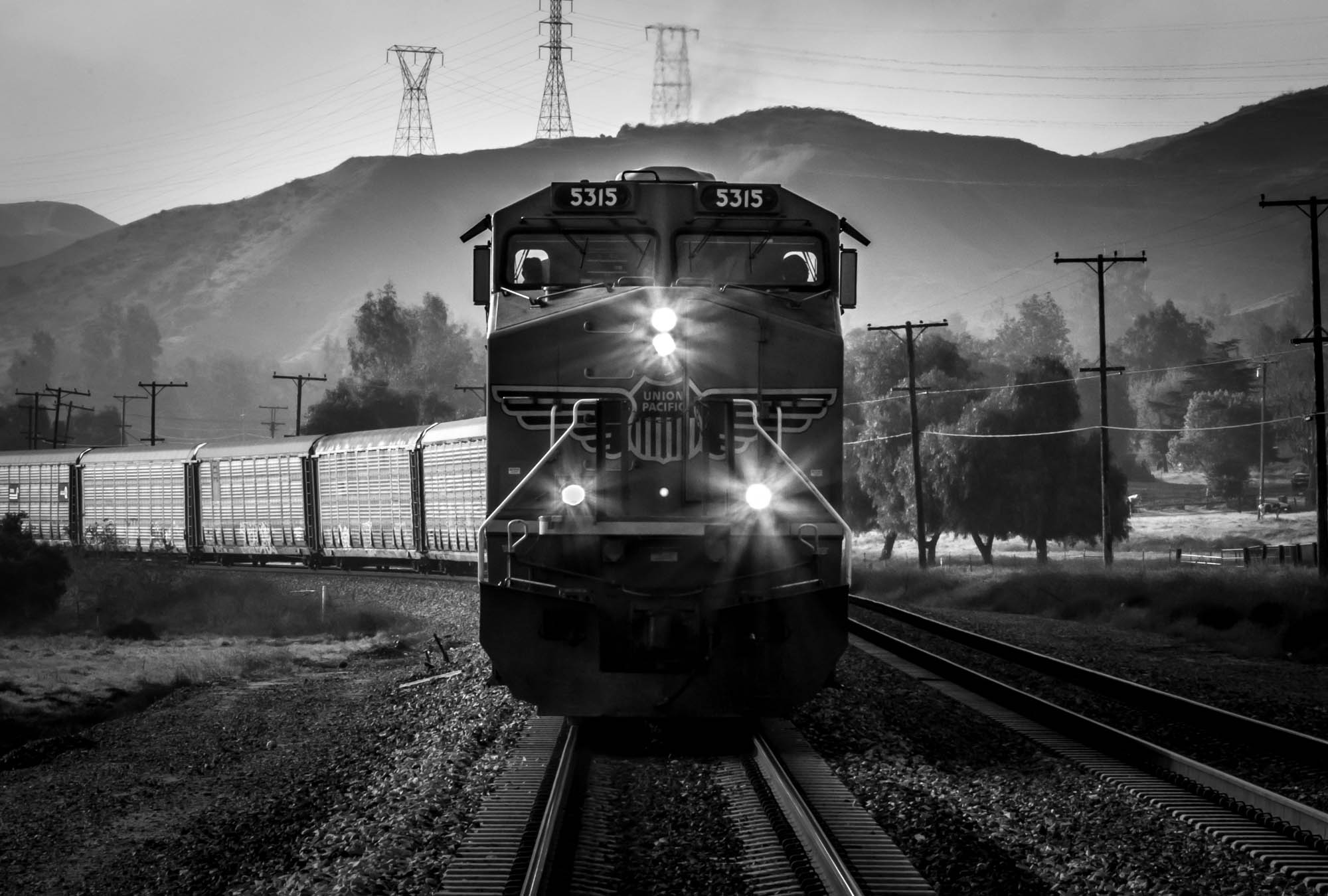
ATK 714E @ El Casco

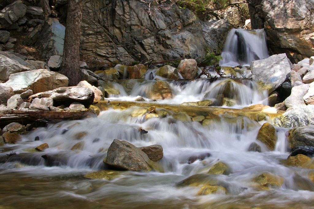
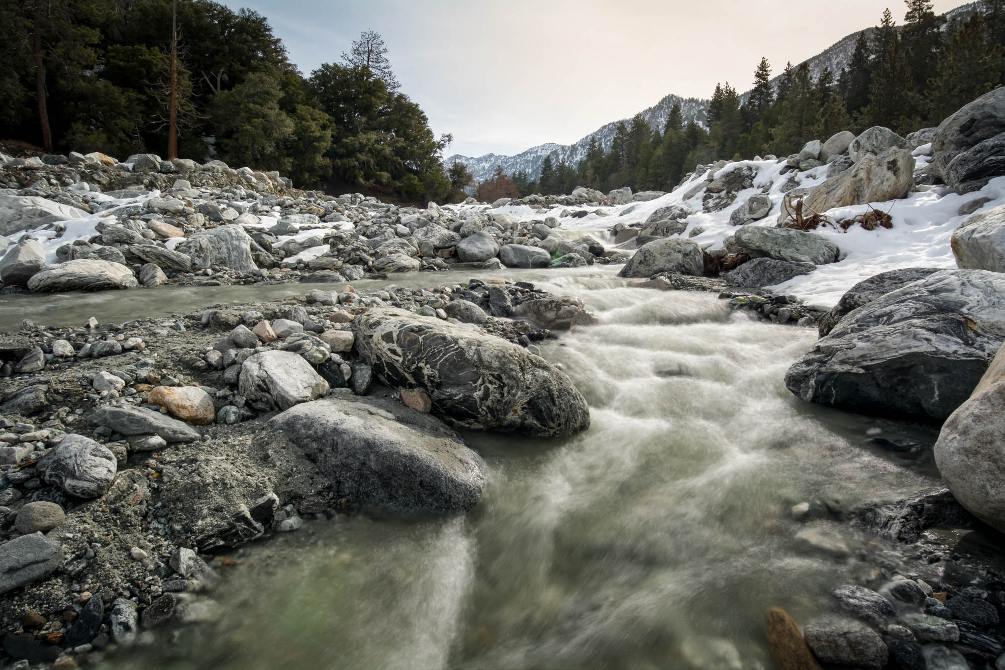
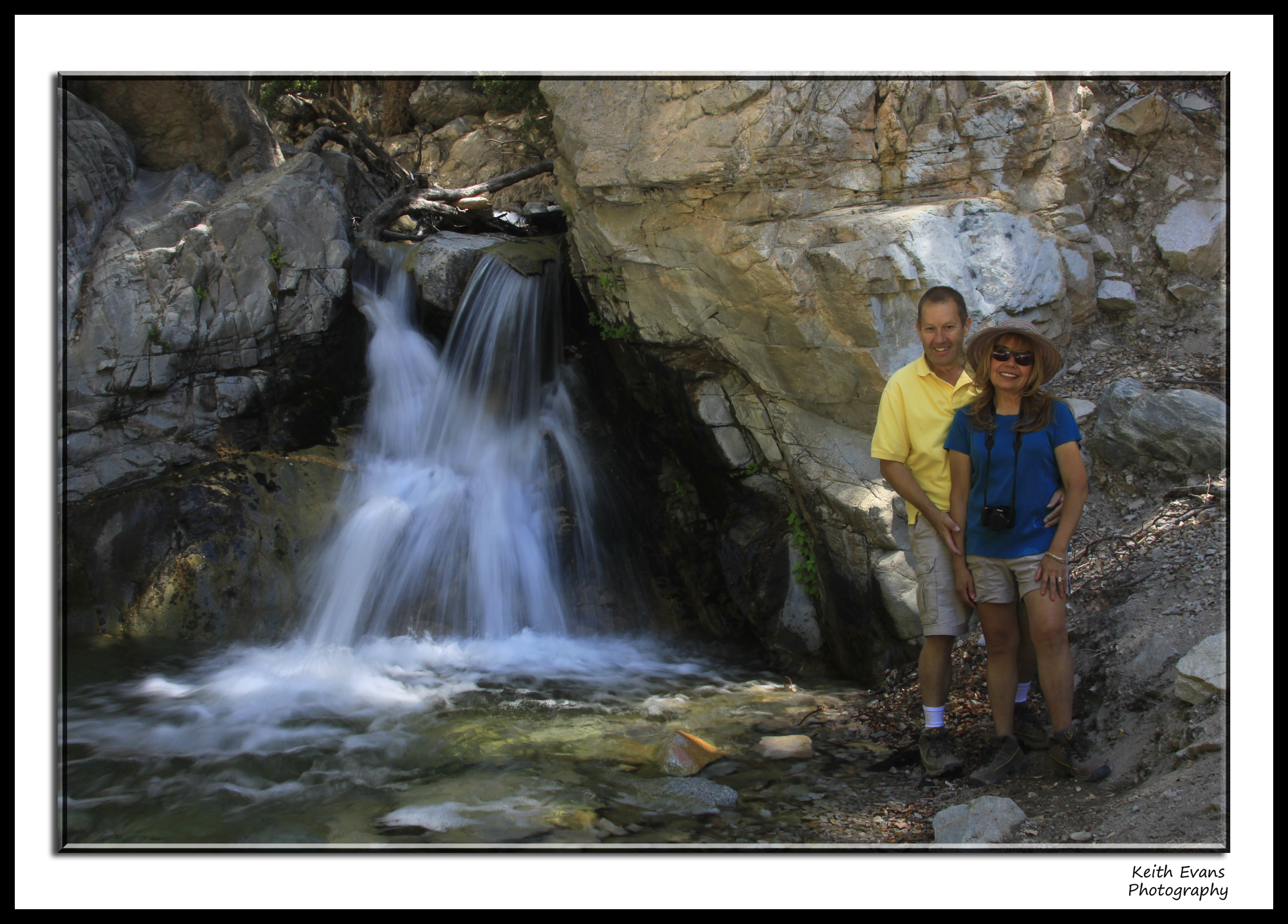
Big Falls Creek Long Exposure

"Fall has always been my favorite season
Oak Glen Harvest Time 11-10-12
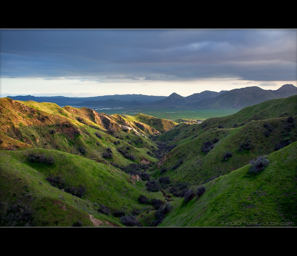
Valley View II
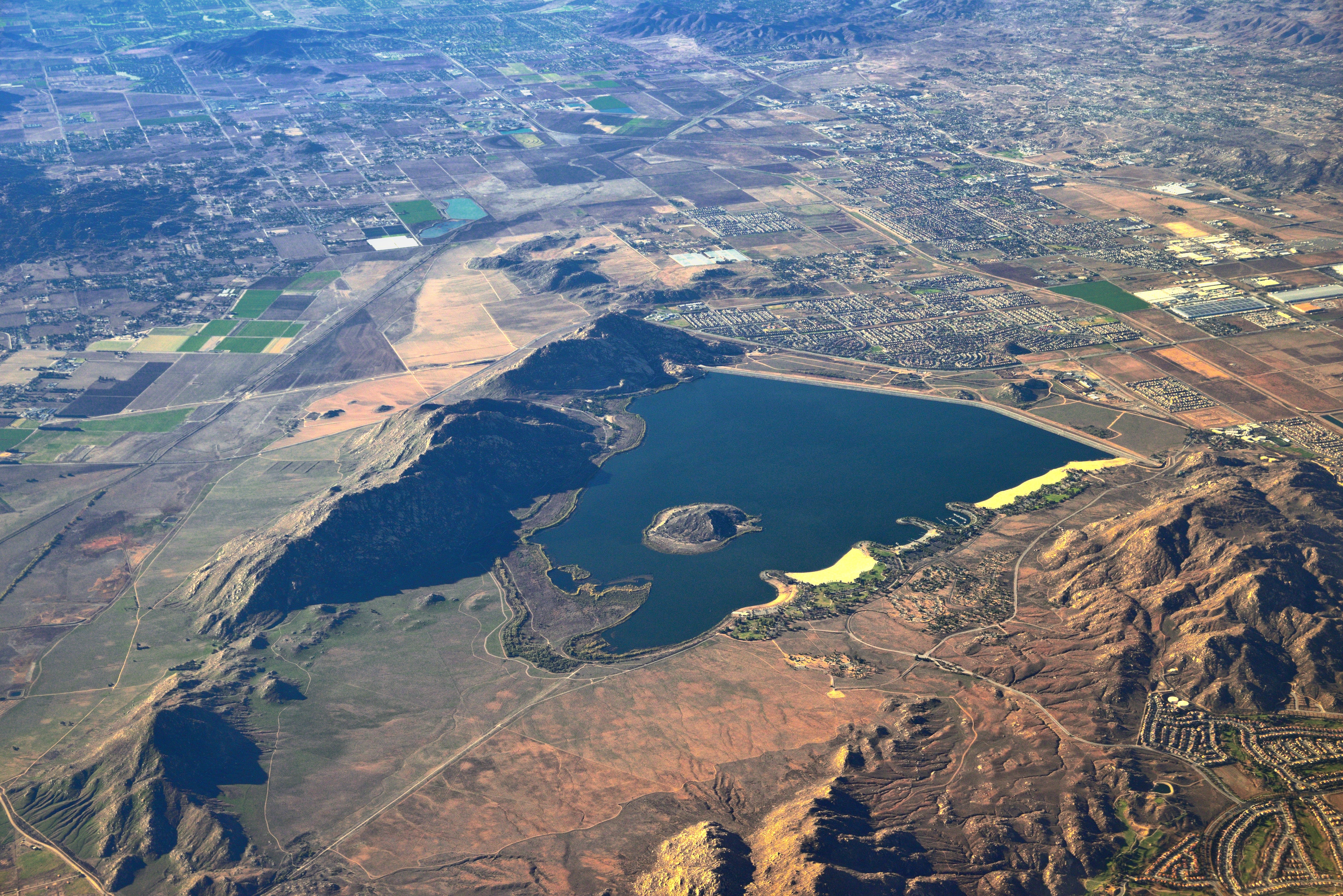
Lake Perris, Surrounded by Hills and Mountains
Big Falls Cascading Creek

Sound of Music at the Redlands Bowl...

The Storms of Late Summer
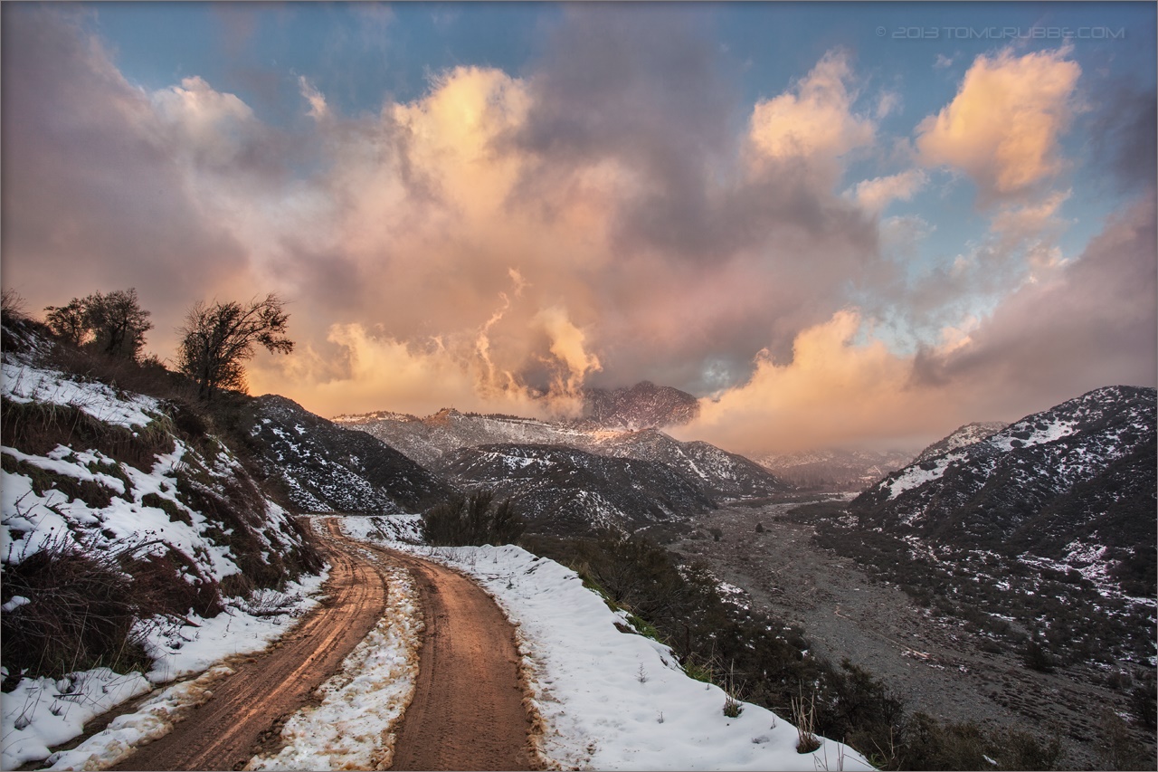
View from Buff Rd
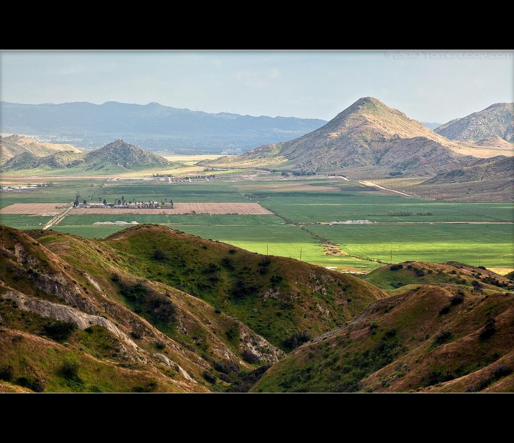
Valley View Up Close

Sunset Valley I

View from Buff Rd LE

Big Falls Stream - Forest Falls, CA, USA

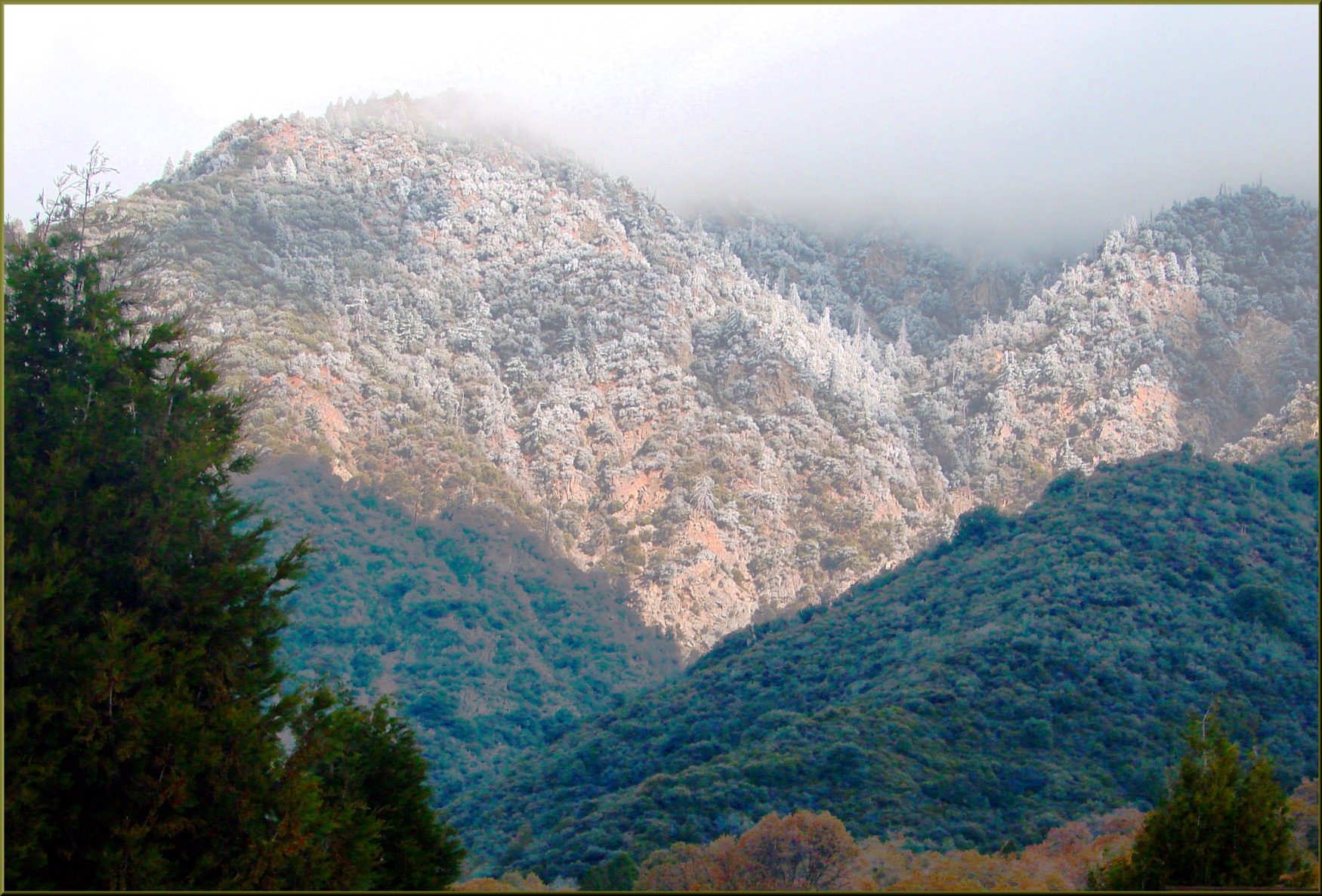
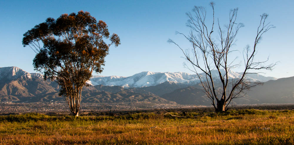
Valley View

Back From the Desert

the view from here [7:52]

Not Too Shabby

sunny rear view

Winter Pond, Oak Glen, CA 1-19-13

Bogart Park_0068

Snow Creek

UP 7939
Mill Creek in Forest Falls, CA, USA
Lights on for Safety - Redlands, CA, USA
Standing Guard
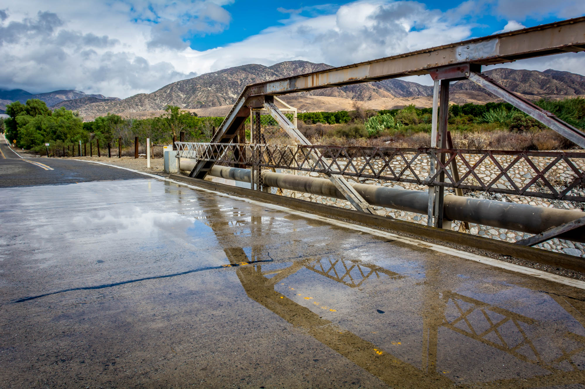
Garnet St. Bridge - Mentone, CA, USA
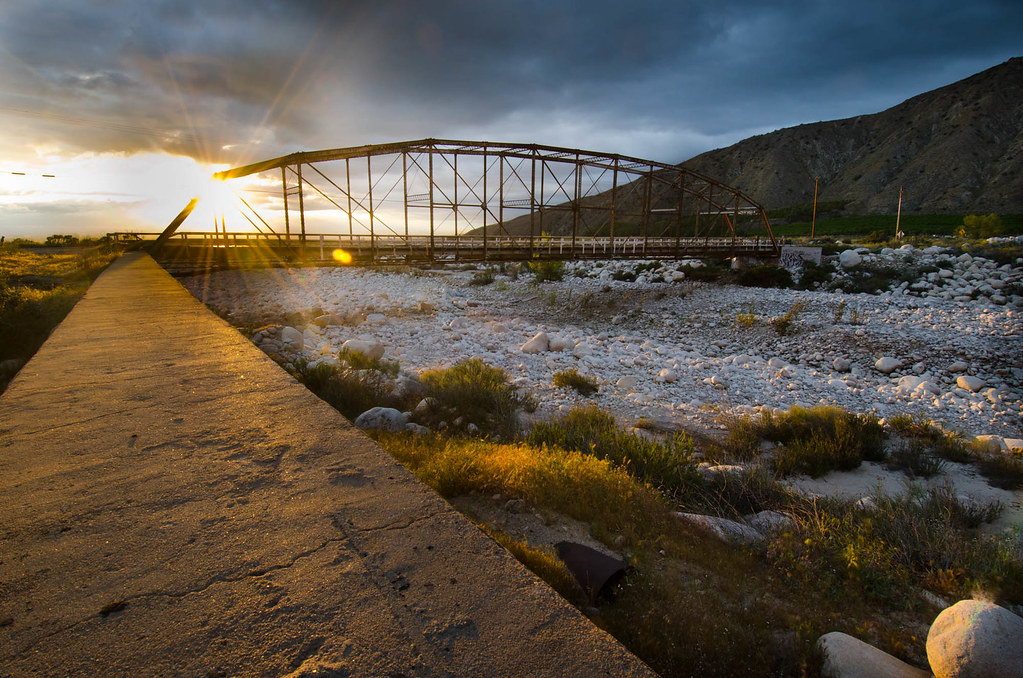
Bridge at Sunset

Hills from Jack Rabbit Trail

UP 7492

Twilight Rocks and Stream

Yucaipa/Mentone Fire

Feelings of Aqua

Spring Valley

Mill Creek and Storm III
FF 010
Topographic Map of Sleepy Hollow Ln, Yucaipa, CA, USA
Find elevation by address:

Places near Sleepy Hollow Ln, Yucaipa, CA, USA:
Sleepy Hollow Lane
35536 Sleepy Hollow Ln
35666 Balsa St
35670 Katona Ct
35678 Katona Ct
35678 Katona Ct
35674 Katona Ct
10205 Jocelyn Ln
35665 Casa Vista St
35367 Fir Ave
10622 Bryant St
10757 Blue Crest Rd
35218 Fir Ave
Oak Glen Road
11333 Fremont St
10961 Sandalwood Way
11050 Bryant St
10345 Country Ln
35215 Juniper Ave
36009 Oak Glen Rd
Recent Searches:
- Elevation of Elwyn Dr, Roanoke Rapids, NC, USA
- Elevation of Congressional Dr, Stevensville, MD, USA
- Elevation of Bellview Rd, McLean, VA, USA
- Elevation of Stage Island Rd, Chatham, MA, USA
- Elevation of Shibuya Scramble Crossing, 21 Udagawacho, Shibuya City, Tokyo -, Japan
- Elevation of Jadagoniai, Kaunas District Municipality, Lithuania
- Elevation of Pagonija rock, Kranto 7-oji g. 8"N, Kaunas, Lithuania
- Elevation of Co Rd 87, Jamestown, CO, USA
- Elevation of Tenjo, Cundinamarca, Colombia
- Elevation of Côte-des-Neiges, Montreal, QC H4A 3J6, Canada