Elevation of Oak Glen Rd, Yucaipa, CA, USA
Location: United States > California > San Bernardino County > Yucaipa >
Longitude: -117.01876
Latitude: 34.0481297
Elevation: 928m / 3045feet
Barometric Pressure: 91KPa
Elevation Map:
Satellite Map:
Related Photos:

Sunset Valley I

Erosion Scar [EXPLORED 5/26/17 - highest position #327]

Only the Best

7 Oaks Dam

Not Too Shabby

Valley View II

Big Falls Creek Long Exposure

Early Morning View

Valley View

Aerial view of the San Andreas Fault, Burro Flats, Riverside County, California

Shooting Spot in the Hills

Sound of Music at the Redlands Bowl...

Padlocked, Redlands Alleys 10-27-13t

View bought and paid for

Aerial view over San Gabriel Mountains

View from Buff Rd LE

San Bernardino Valley

Big Falls Stream - Forest Falls, CA, USA

Santa Ana River Valley

Sweet: Number 136.
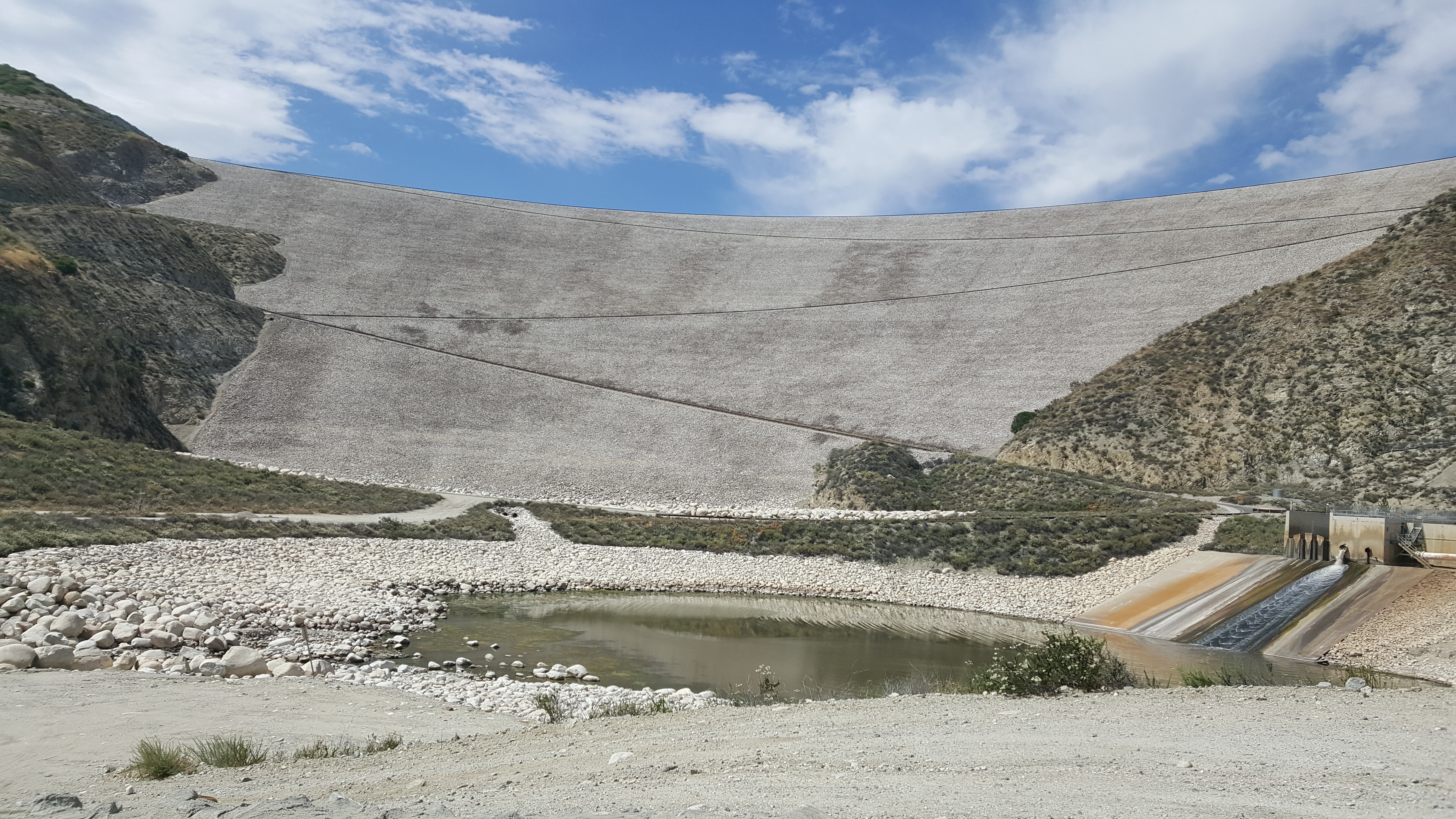
Seven Oaks Dam
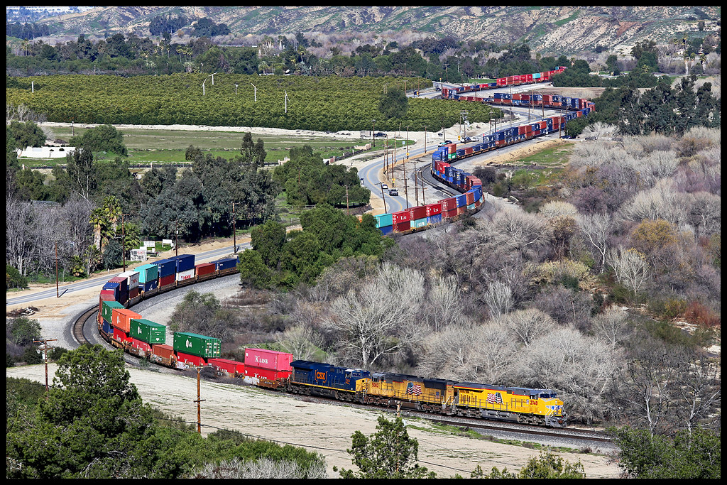
UP 2748

Snaking Up Beaumont

Mill Creek Canyon

Beaumont, California
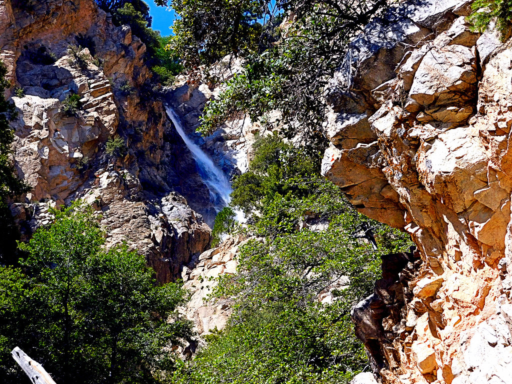
Upper Forest Falls

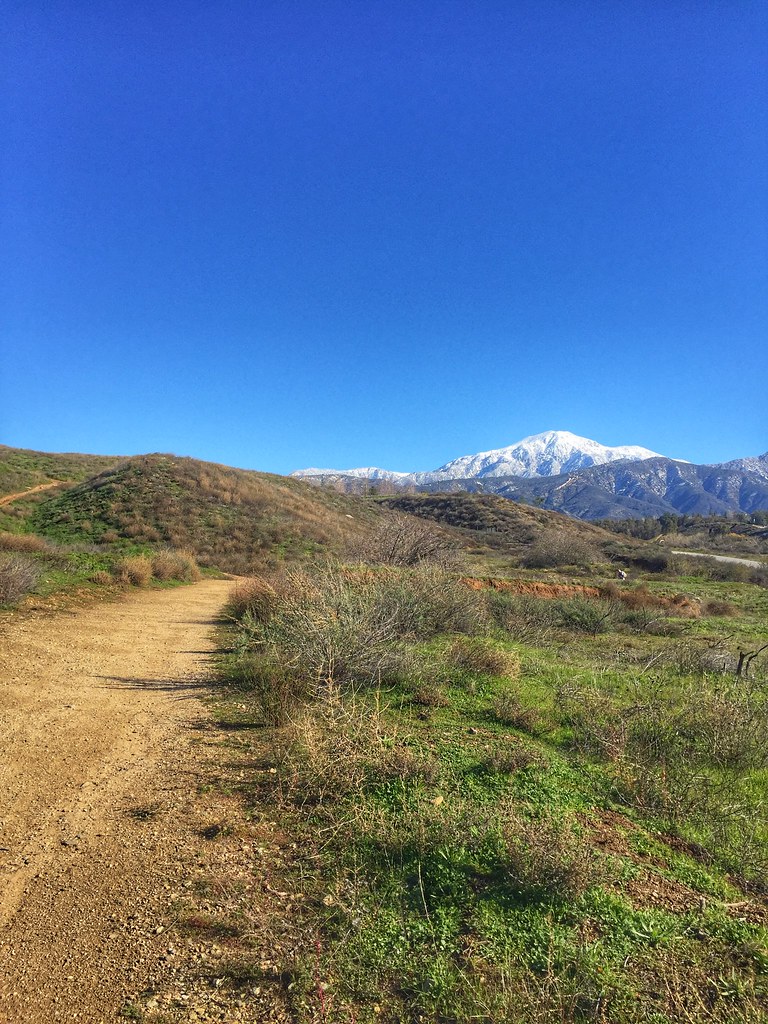
Jack Rabbit Trail Road
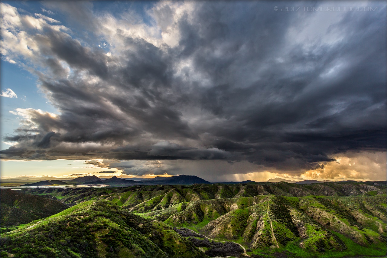
Jack Rabbit Storm

Spring Trail II

Apple Orchard Autumn, Oak Glen, CA 2019

New Season

Spring Trail
Crafton Hills hiking trails.

Mill Creek and Storm III

Jeffrey Pine

Mill Creek Storm Sunset

Fireside, the Burning

Mill Creek Canyon

Lush Hills

San Gabriel Mountains over Inland Empire, CA 2016 (In EXPLORE)
Topographic Map of Oak Glen Rd, Yucaipa, CA, USA
Find elevation by address:

Places near Oak Glen Rd, Yucaipa, CA, USA:
11549 Pendleton Rd
36201 Highland Ave
11333 Fremont St
Oak Glen Road
Oak Glen Road
35665 Casa Vista St
11505 Acropolis Dr
35670 Katona Ct
35678 Katona Ct
35678 Katona Ct
35674 Katona Ct
35666 Balsa St
11650 Dodd St
11665 Lennox St
35580 Rancho Rd
Fremont Street
Yucaipa, CA, USA
35685 Sleepy Hollow Ln
Sleepy Hollow Lane
35695 Crestview Dr
Recent Searches:
- Elevation of Elwyn Dr, Roanoke Rapids, NC, USA
- Elevation of Congressional Dr, Stevensville, MD, USA
- Elevation of Bellview Rd, McLean, VA, USA
- Elevation of Stage Island Rd, Chatham, MA, USA
- Elevation of Shibuya Scramble Crossing, 21 Udagawacho, Shibuya City, Tokyo -, Japan
- Elevation of Jadagoniai, Kaunas District Municipality, Lithuania
- Elevation of Pagonija rock, Kranto 7-oji g. 8"N, Kaunas, Lithuania
- Elevation of Co Rd 87, Jamestown, CO, USA
- Elevation of Tenjo, Cundinamarca, Colombia
- Elevation of Côte-des-Neiges, Montreal, QC H4A 3J6, Canada