Elevation of Acropolis Dr, Yucaipa, CA, USA
Location: United States > California > San Bernardino County > Yucaipa >
Longitude: -117.01040
Latitude: 34.0448101
Elevation: 986m / 3235feet
Barometric Pressure: 90KPa
Elevation Map:
Satellite Map:
Related Photos:

ATK 714E @ El Casco

Big Falls Creek Long Exposure

Original to these lands.

Living Large, Canyon View, Redlands 5-19-13
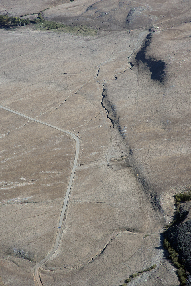
Aerial view of the San Andreas Fault, Burro Flats, Riverside County, California

Sunset Over Redlands Bowl 6-26-13
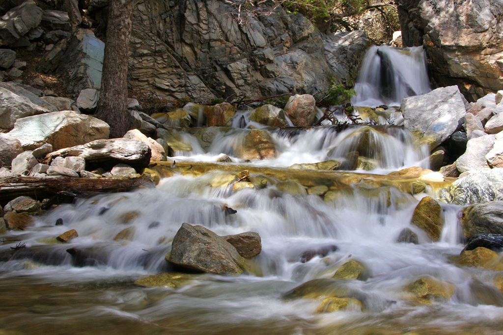
Big Falls Cascading Creek

View from Buff Rd LE

Bogart Park_0068

Valley View

Big Falls Stream - Forest Falls, CA, USA

Shooting Spot in the Hills

the view from here [7:52]

sunny rear view

Seven Oaks Dam

Bogart Park_0059

San Bernardino Valley

Winter Pond, Oak Glen, CA 1-19-13

Not Too Shabby

Bogart Park_0041

Live Oak Farms, Wagon 12-9-12

Hills from Jack Rabbit Trail

Sunset Valley I

Yucaipa California

Mill Creek Canyon

Mill Creek - Mentone, CA, USA

Sunset Valley II

Palm Springs - 2017
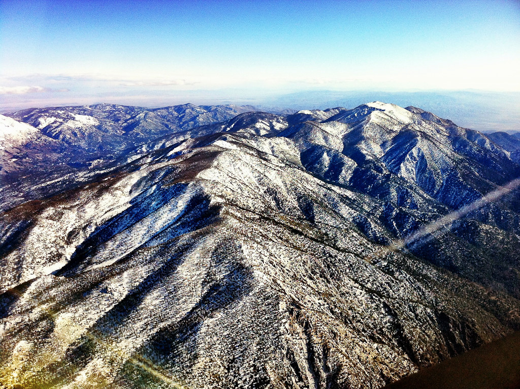
3.12.11 - Big Bear

写真 2017-12-09 14 48 17

Social Gathering, Ford Park, Redlands, CA 8-12

Good Intentions
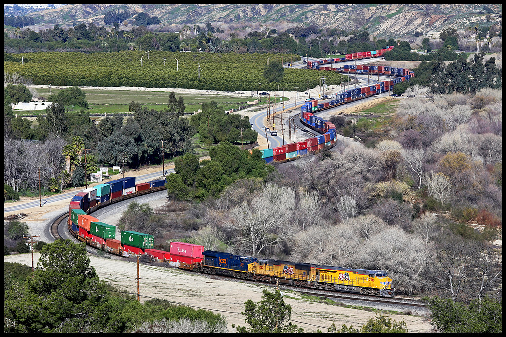
UP 2748

Mossy Trunk - Forest Falls, CA, USA
Fireside, the Burning

San Timoteo Nature Trail

UP 7492

Snaking Up Beaumont

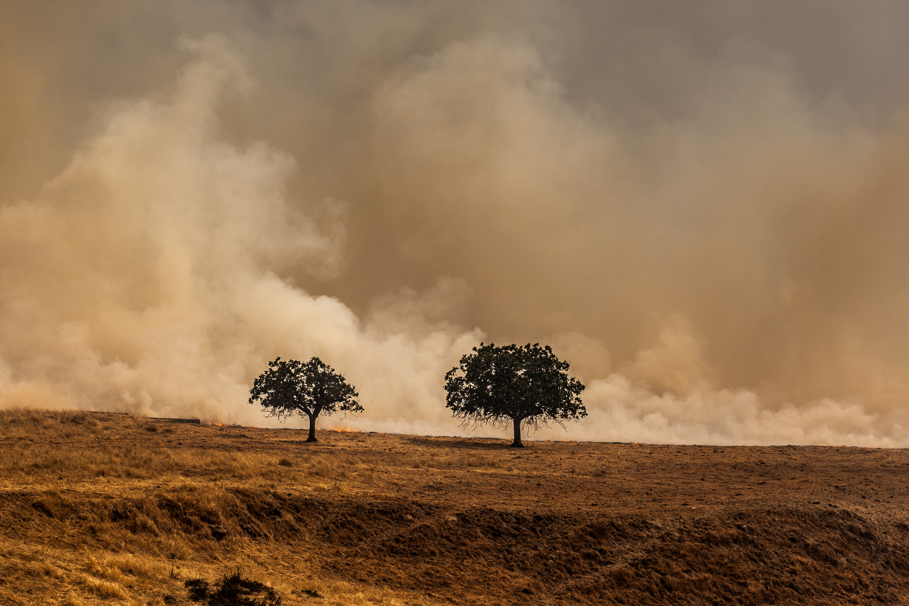
Lonely Tree

Spring Valley
Topographic Map of Acropolis Dr, Yucaipa, CA, USA
Find elevation by address:

Places near Acropolis Dr, Yucaipa, CA, USA:
Oak Glen Road
36201 Highland Ave
11549 Pendleton Rd
36009 Oak Glen Rd
Yucaipa, CA, USA
11333 Fremont St
Oak Glen Road
35665 Casa Vista St
Fremont Street
11650 Dodd St
35580 Rancho Rd
35695 Crestview Dr
35670 Katona Ct
35666 Balsa St
35678 Katona Ct
35678 Katona Ct
35674 Katona Ct
11665 Lennox St
35468 Beech Ave
35685 Sleepy Hollow Ln
Recent Searches:
- Elevation of Congressional Dr, Stevensville, MD, USA
- Elevation of Bellview Rd, McLean, VA, USA
- Elevation of Stage Island Rd, Chatham, MA, USA
- Elevation of Shibuya Scramble Crossing, 21 Udagawacho, Shibuya City, Tokyo -, Japan
- Elevation of Jadagoniai, Kaunas District Municipality, Lithuania
- Elevation of Pagonija rock, Kranto 7-oji g. 8"N, Kaunas, Lithuania
- Elevation of Co Rd 87, Jamestown, CO, USA
- Elevation of Tenjo, Cundinamarca, Colombia
- Elevation of Côte-des-Neiges, Montreal, QC H4A 3J6, Canada
- Elevation of Bobcat Dr, Helena, MT, USA