Elevation of Country Ln, Yucaipa, CA, USA
Location: United States > California > San Bernardino County > Yucaipa >
Longitude: -117.04037
Latitude: 34.065842
Elevation: 857m / 2812feet
Barometric Pressure: 91KPa
Elevation Map:
Satellite Map:
Related Photos:

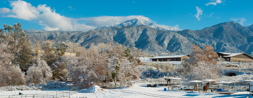
Sunset Valley I

Valley View

sunny rear view

Living Large, Canyon View, Redlands 5-19-13
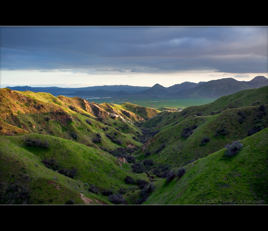
Valley View II
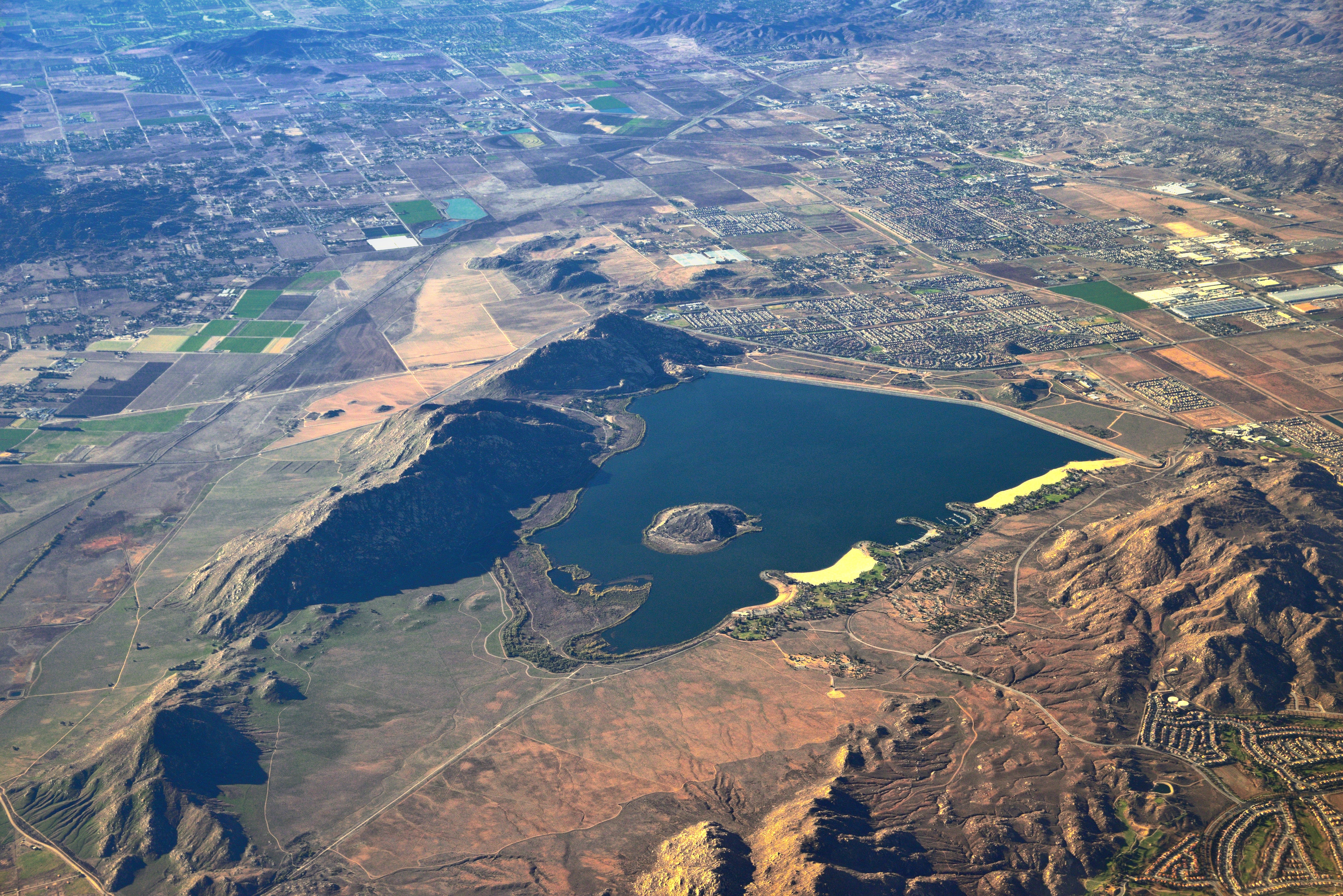
Lake Perris, Surrounded by Hills and Mountains

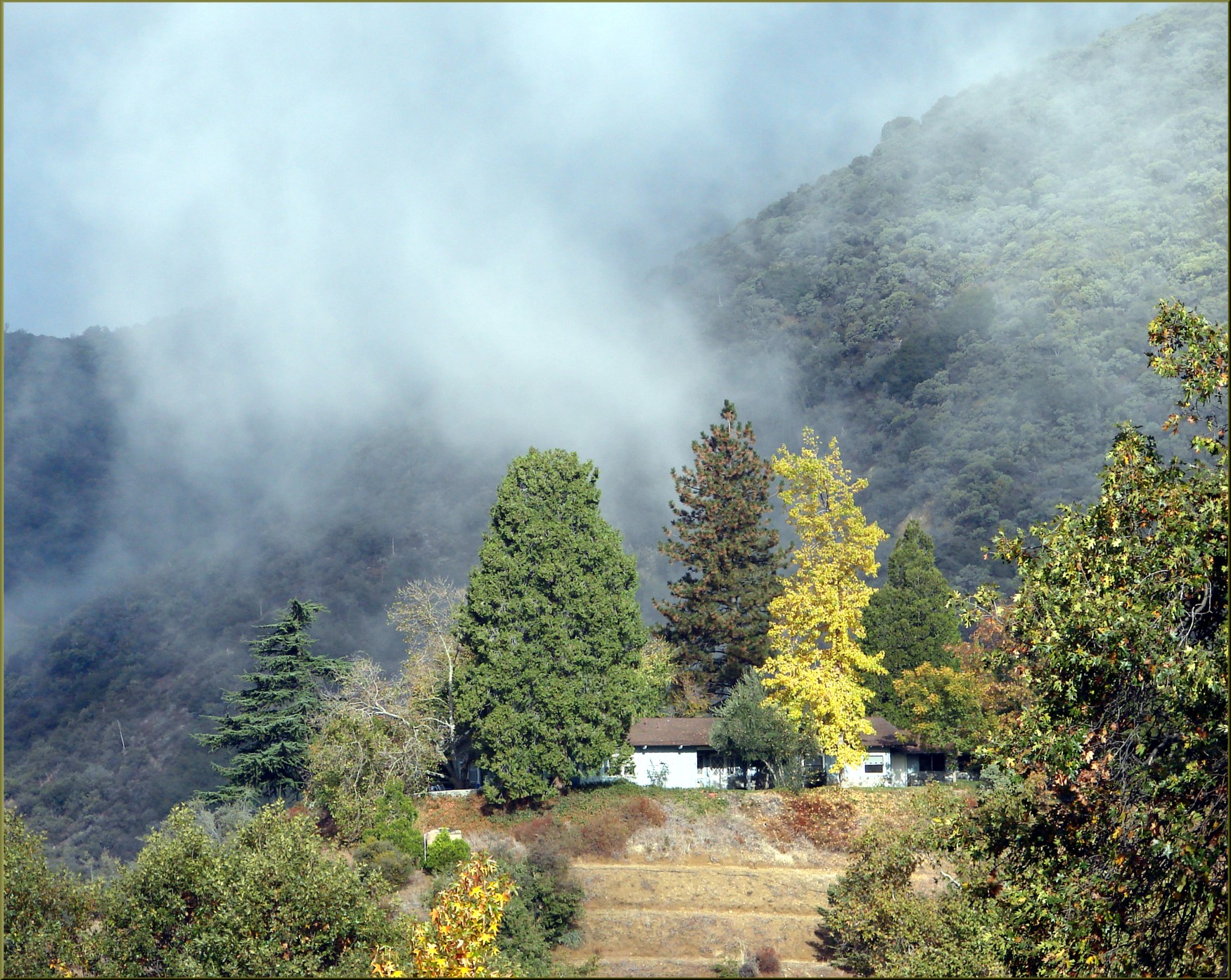
Shooting Spot in the Hills
Oak Glen Harvest Time 11-10-12

Original to these lands.

Congregational Church in Redlands, California, circa 1900

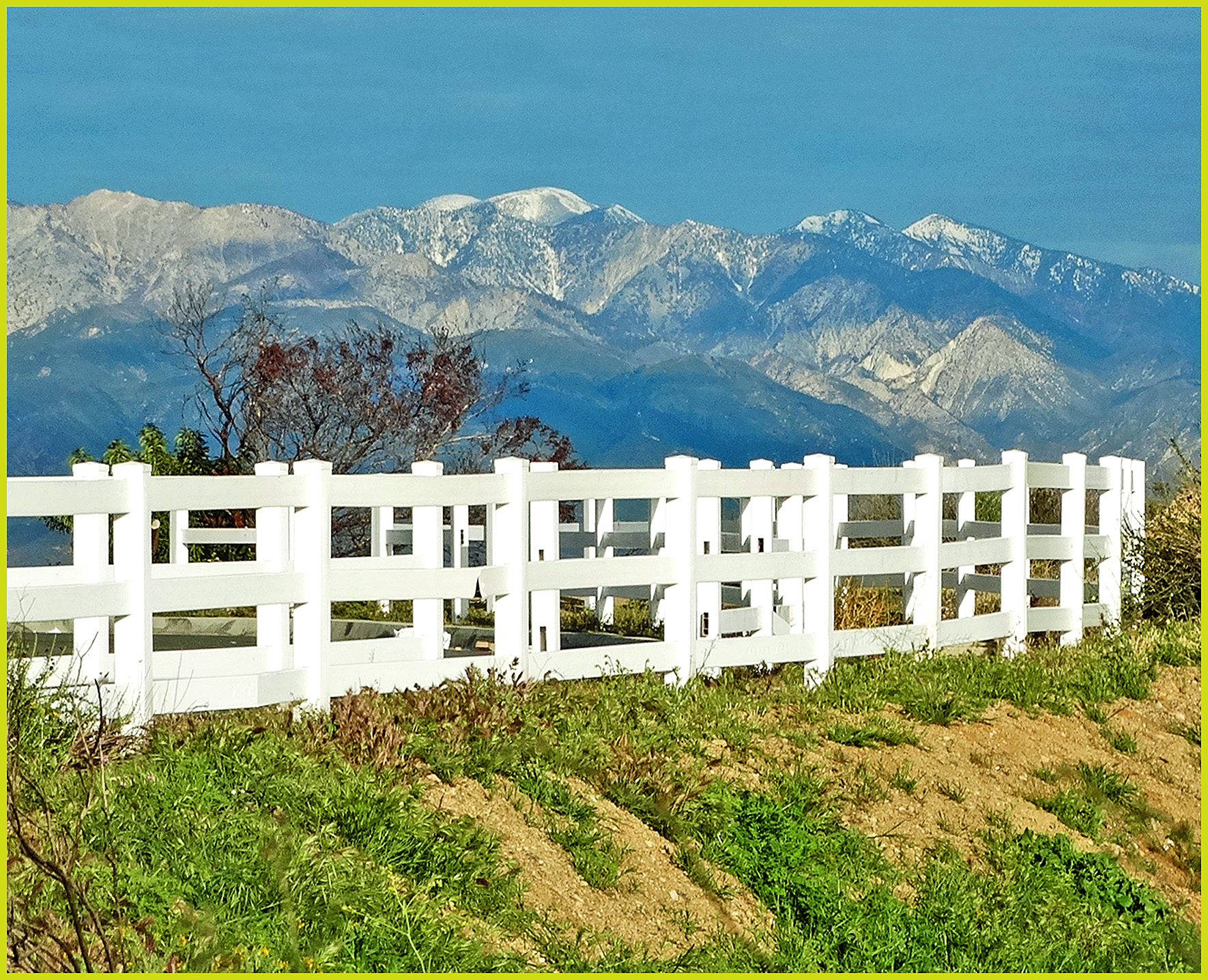
View from Buff Rd LE

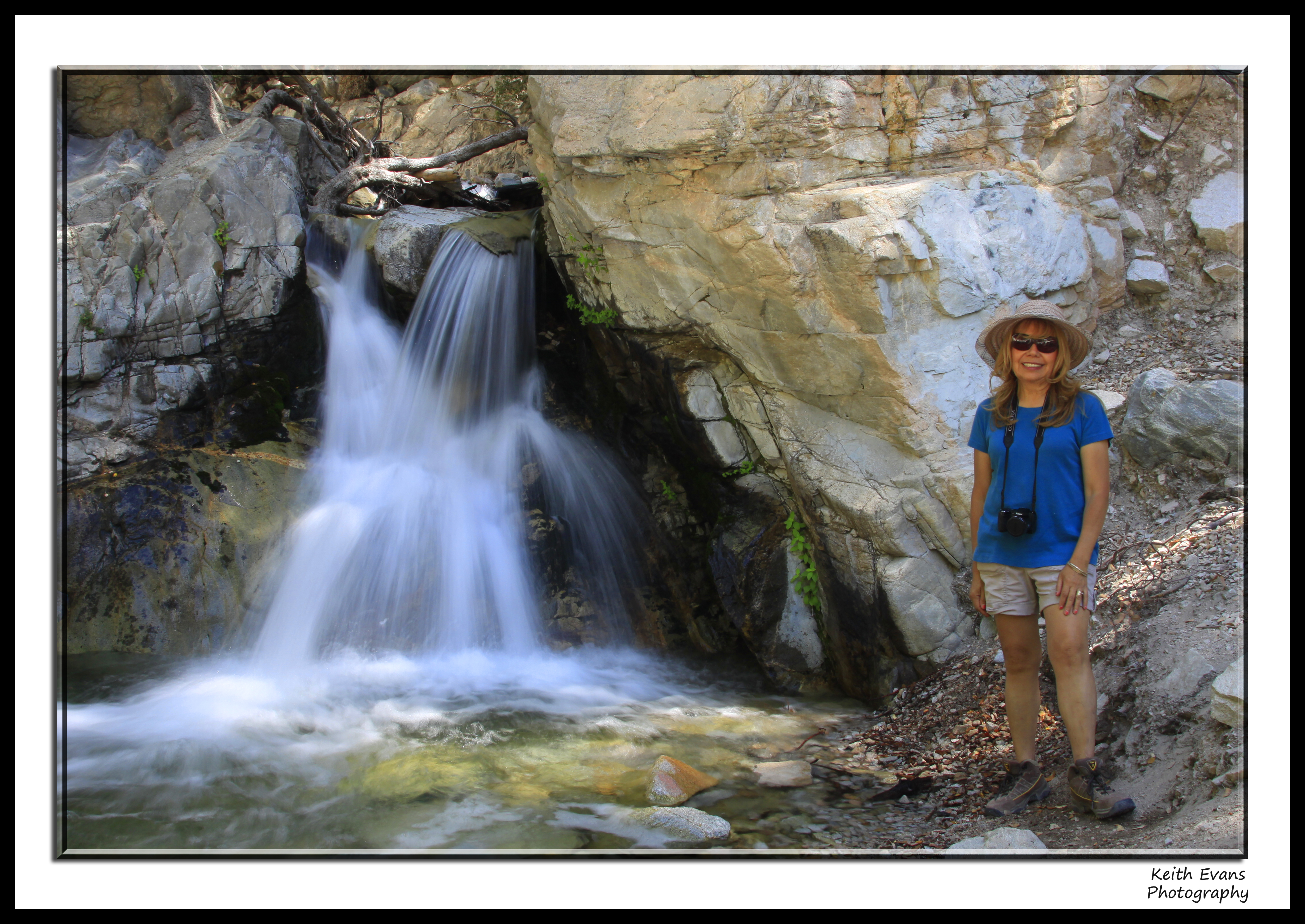
Big Falls Stream - Forest Falls, CA, USA

ATK 714E @ El Casco

Not Too Shabby

Winter Pond, Oak Glen, CA 1-19-13

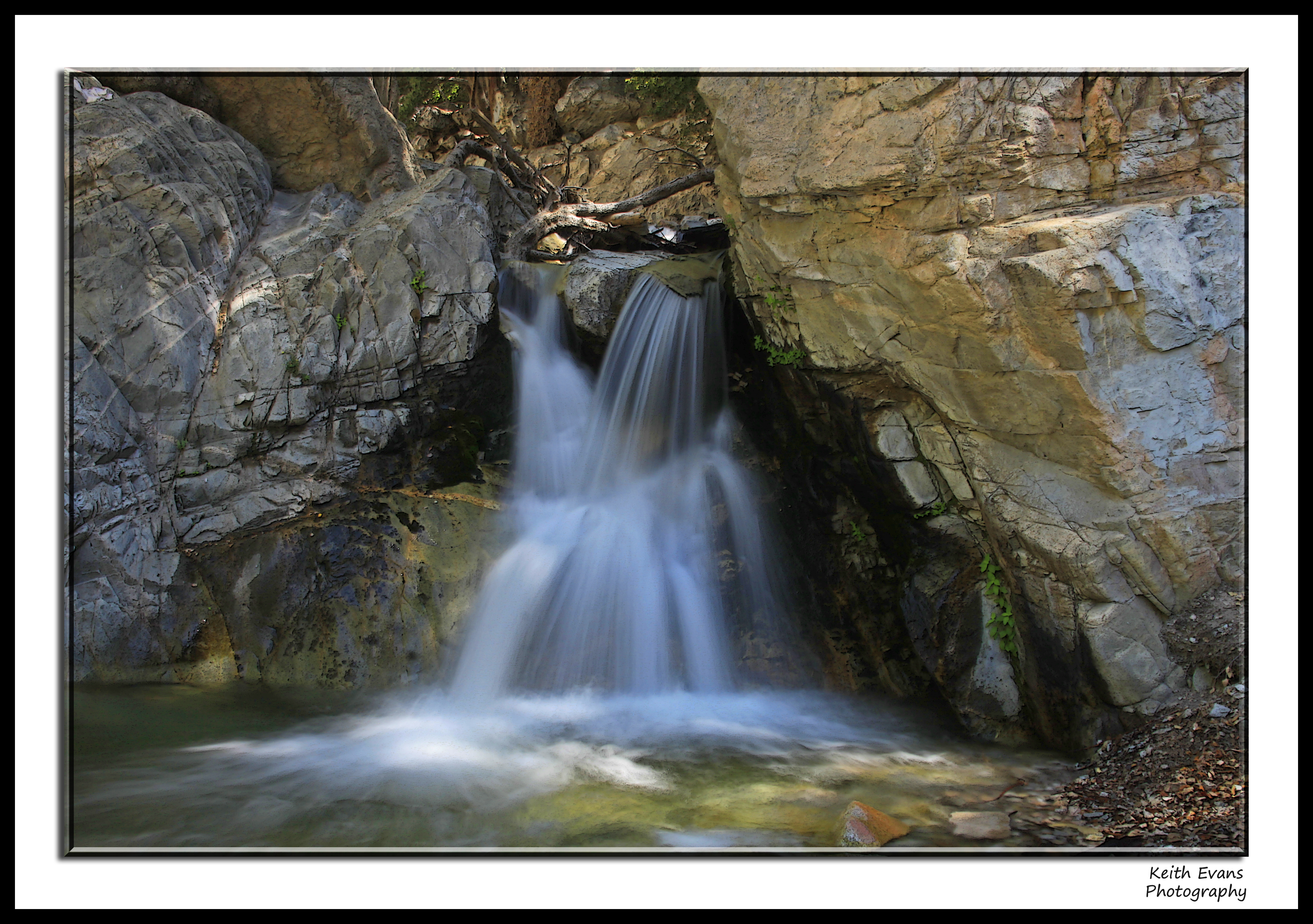
Big Falls Creek Long Exposure

Bogart Park_0068

"Fall has always been my favorite season

Live Oak Farms, Wagon 12-9-12

View from the patio. Good morning ya'll!!!
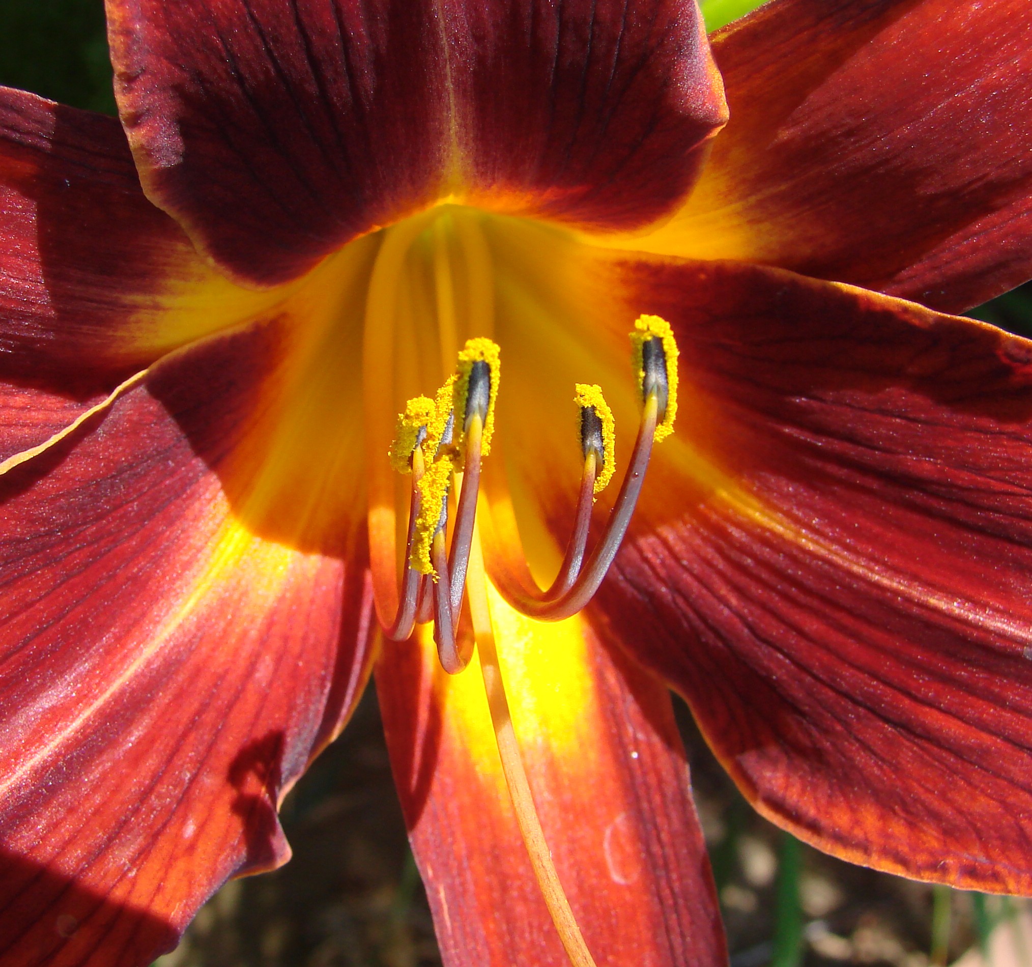
Daylillies (2) 7-7-12

Twilight Rocks and Stream

Feelings of Aqua

San Bernardino city and National Forest

Mill Creek and Storm III

Sunset Valley II

Reach - Forest Falls, CA, USA
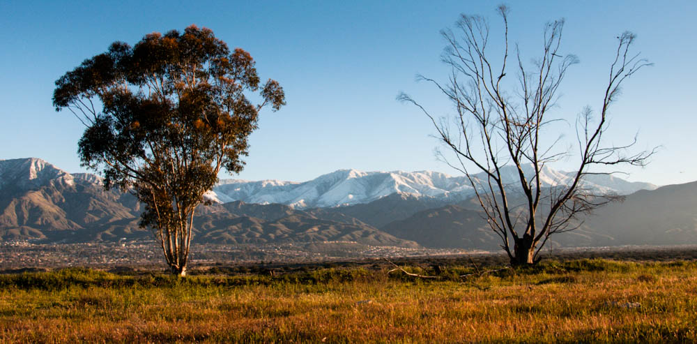
Yucaipa Morning Snow Dust
FF 008
Mt. Baldy from Panorama Pt 3-9-14f
Standing Guard
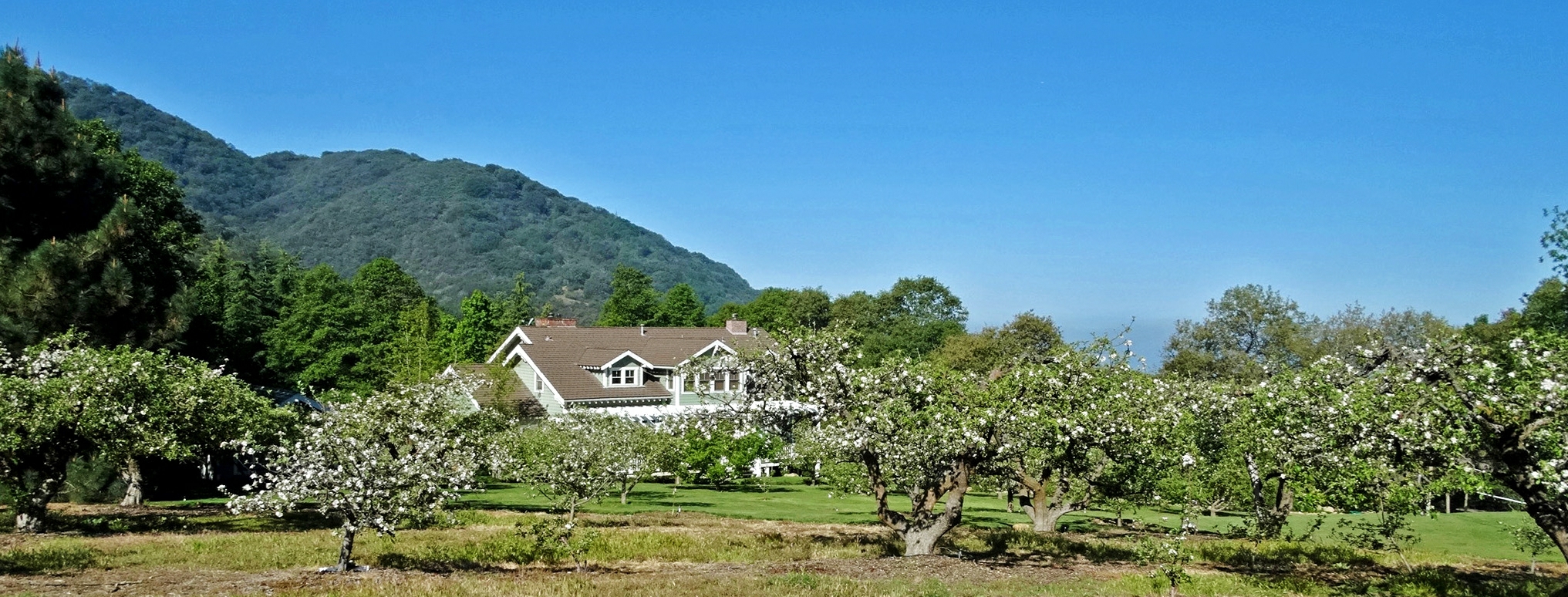
Apple Blossoms, Oak Glen, CA 4-12-14

Mill Creek Storm Sunset
FF 009

Tree of Many Colors, Oak Glen, CA 11-13
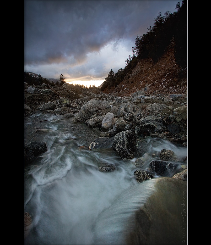
Mill Creek and Storm II

Hills from Jack Rabbit Trail

UP 7492

UP 7939
Topographic Map of Country Ln, Yucaipa, CA, USA
Find elevation by address:

Places near Country Ln, Yucaipa, CA, USA:
10622 Bryant St
34822 Olive Tree Ln
35215 Juniper Ave
9859 Diamond St
10757 Blue Crest Rd
35218 Fir Ave
10961 Sandalwood Way
Sunnyside Drive
35536 Sleepy Hollow Ln
34910 Shadow Wood Dr
35367 Fir Ave
11050 Bryant St
35685 Sleepy Hollow Ln
California 38 & Bryant Street
Sleepy Hollow Lane
35666 Balsa St
35674 Katona Ct
35678 Katona Ct
35678 Katona Ct
35670 Katona Ct
Recent Searches:
- Elevation of Estates Loop, Priest River, ID, USA
- Elevation of Woodland Oak Pl, Thousand Oaks, CA, USA
- Elevation of Brownsdale Rd, Renfrew, PA, USA
- Elevation of Corcoran Ln, Suffolk, VA, USA
- Elevation of Mamala II, Sariaya, Quezon, Philippines
- Elevation of Sarangdanda, Nepal
- Elevation of 7 Waterfall Way, Tomball, TX, USA
- Elevation of SW 57th Ave, Portland, OR, USA
- Elevation of Crocker Dr, Vacaville, CA, USA
- Elevation of Pu Ngaol Community Meeting Hall, HWHM+3X7, Krong Saen Monourom, Cambodia