Elevation of Sleepy Hollow Ln, Yucaipa, CA, USA
Location: United States > California > San Bernardino County > Yucaipa >
Longitude: -117.02894
Latitude: 34.0621298
Elevation: 884m / 2900feet
Barometric Pressure: 91KPa
Elevation Map:
Satellite Map:
Related Photos:

View from Buff Rd LE

Bogart Park_0068

ATK 714E @ El Casco

Santa Ana River Valley

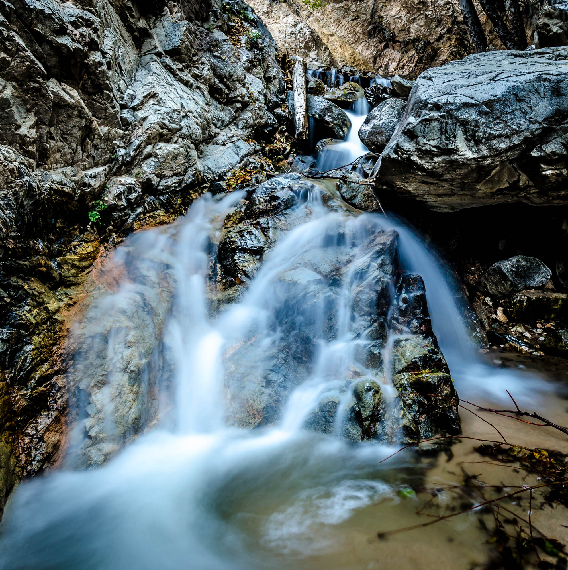
Big Falls Creek Long Exposure

Shooting Spot in the Hills

the view from here [7:52]

sunny rear view

Back From the Desert

Bogart Park_0059

What a view this morning!

Not Too Shabby

Bogart Park_0041

Original to these lands.

Bogart Park_0039

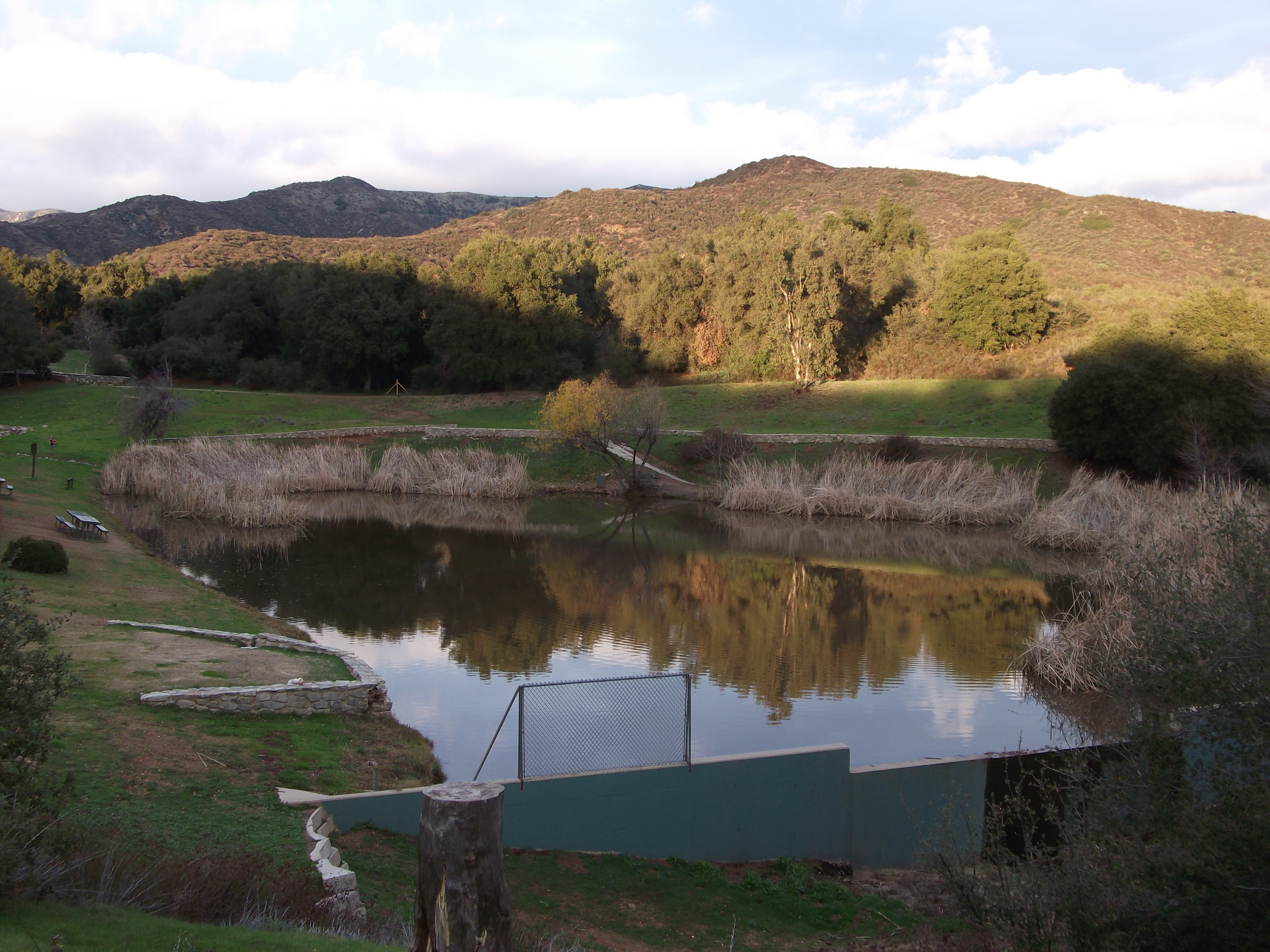
Swim Lane

Bogart Park_0003

View from the patio. Good morning ya'll!!!
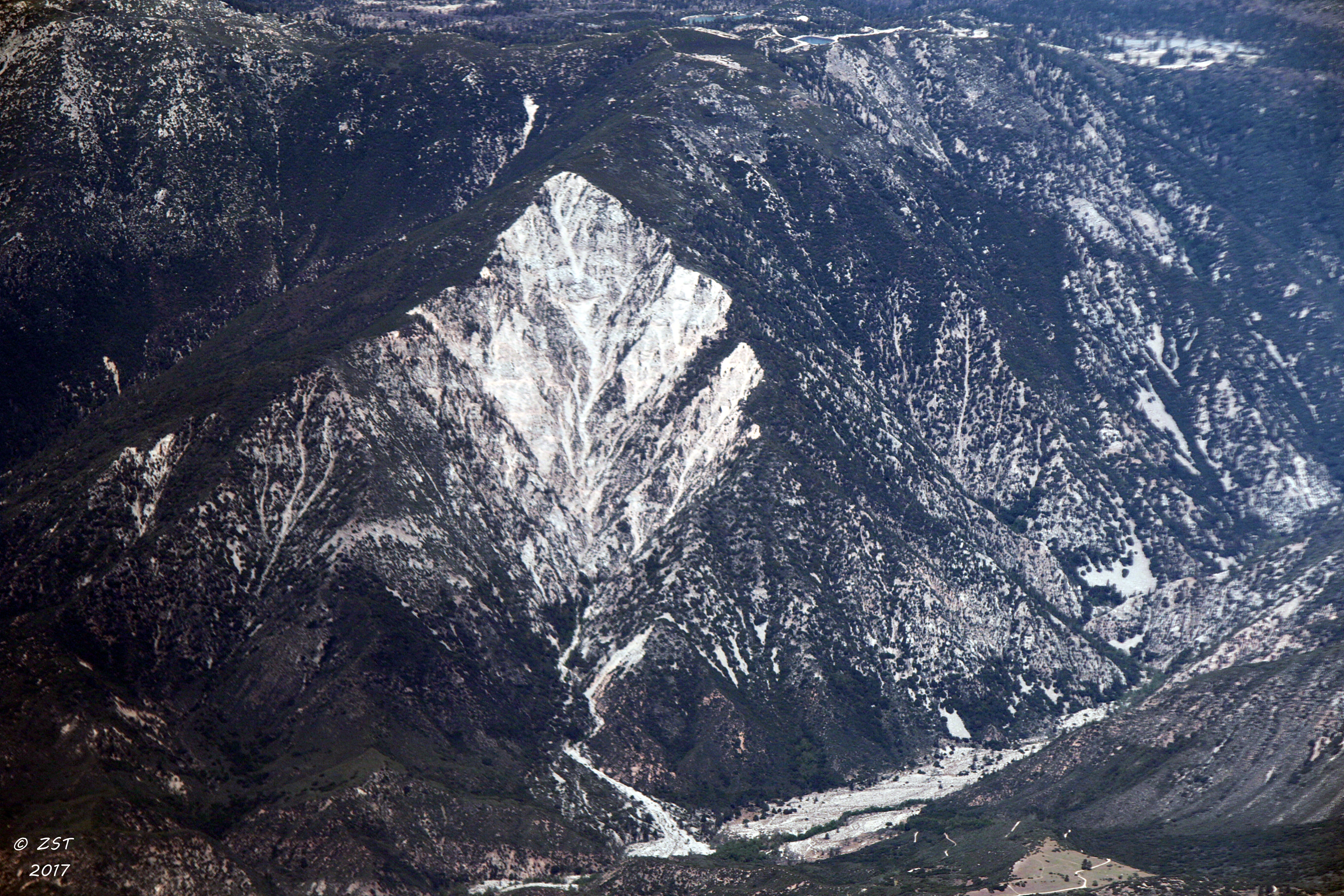
Erosion Scar [EXPLORED 5/26/17 - highest position #327]
Bogart Park_0069
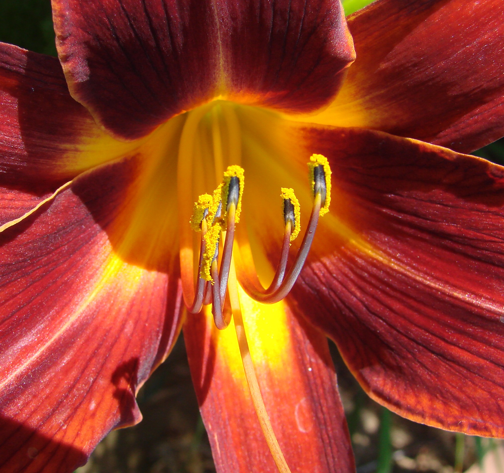
Daylillies (2) 7-7-12

San Timoteo Nature Trail

UP 7492

Snaking Up Beaumont

Yucaipa/Mentone Fire

Lonely Tree

Spring Valley

Mill Creek Canyon

Bastille Day, 2014

Mill Creek - Mentone, CA, USA
Sunsets are beautiful

Sunset Valley II
Big Falls Stream - Forest Falls, CA, USA

Yucaipa California
Romy in the field

Valley View
Lush Hills
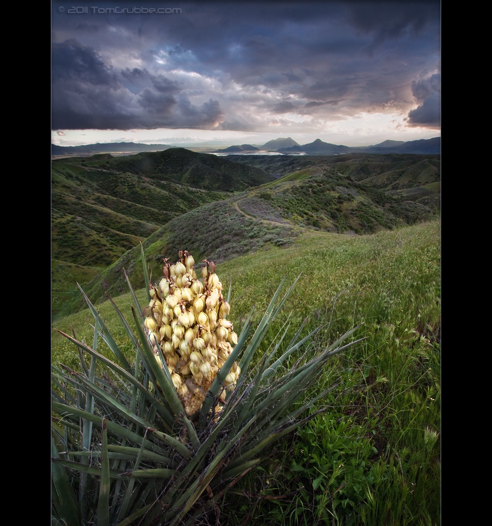
Yucca Plant and Storm

Palm Springs - 2017

Big Falls Stream - Forest Falls, CA, USA
Topographic Map of Sleepy Hollow Ln, Yucaipa, CA, USA
Find elevation by address:

Places near Sleepy Hollow Ln, Yucaipa, CA, USA:
35685 Sleepy Hollow Ln
Sleepy Hollow Lane
35666 Balsa St
35670 Katona Ct
35674 Katona Ct
35678 Katona Ct
35678 Katona Ct
35367 Fir Ave
10622 Bryant St
10757 Blue Crest Rd
10205 Jocelyn Ln
35218 Fir Ave
35665 Casa Vista St
10345 Country Ln
10961 Sandalwood Way
35215 Juniper Ave
11050 Bryant St
Oak Glen Road
9859 Diamond St
Sunnyside Drive
Recent Searches:
- Elevation of Falling Spring Rd, Clyde, NC, USA
- Elevation of Kingsfield St, Castle Rock, CO, USA
- Elevation of AMELIA CT HSE, VA, USA
- Elevation of Abbey Dr, Virginia Beach, VA, USA
- Elevation of Brooks Lp, Spearfish, SD, USA
- Elevation of Panther Dr, Maggie Valley, NC, USA
- Elevation of Jais St - Wadi Shehah - Ras al Khaimah - United Arab Emirates
- Elevation of Shawnee Avenue, Shawnee Ave, Easton, PA, USA
- Elevation of Scenic Shore Dr, Kingwood Area, TX, USA
- Elevation of W Prive Cir, Delray Beach, FL, USA