Elevation of Blue Crest Rd, Yucaipa, CA, USA
Location: United States > California > San Bernardino County > Yucaipa >
Longitude: -117.03662
Latitude: 34.058284
Elevation: 850m / 2789feet
Barometric Pressure: 92KPa
Elevation Map:
Satellite Map:
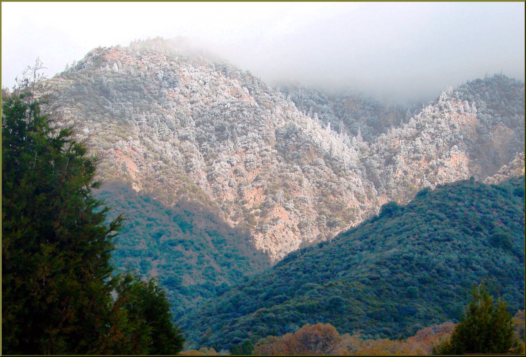
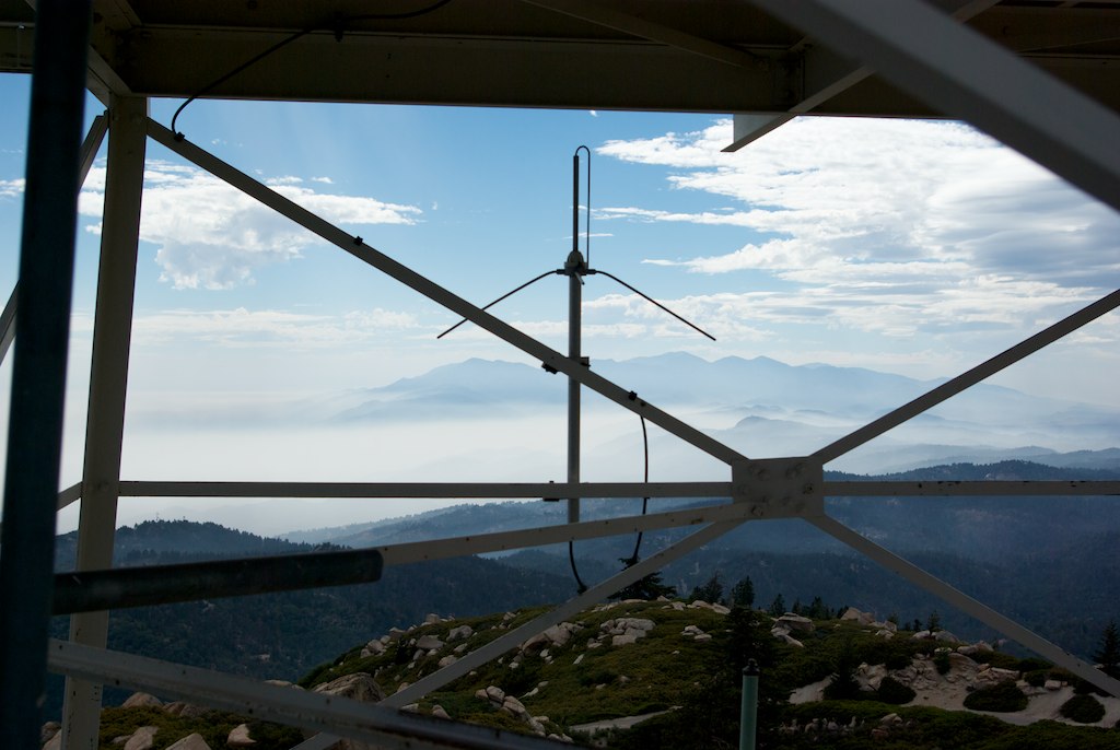
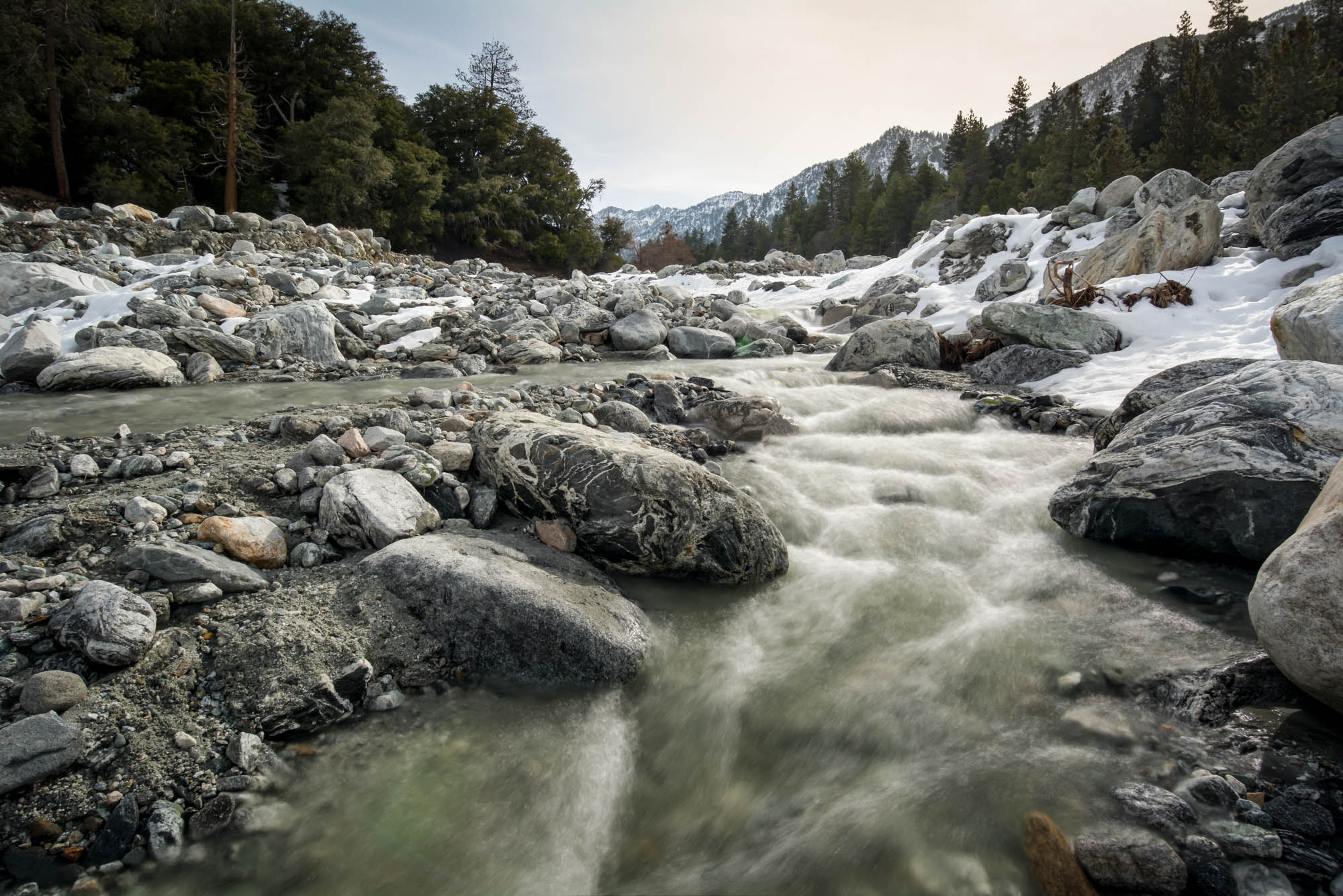
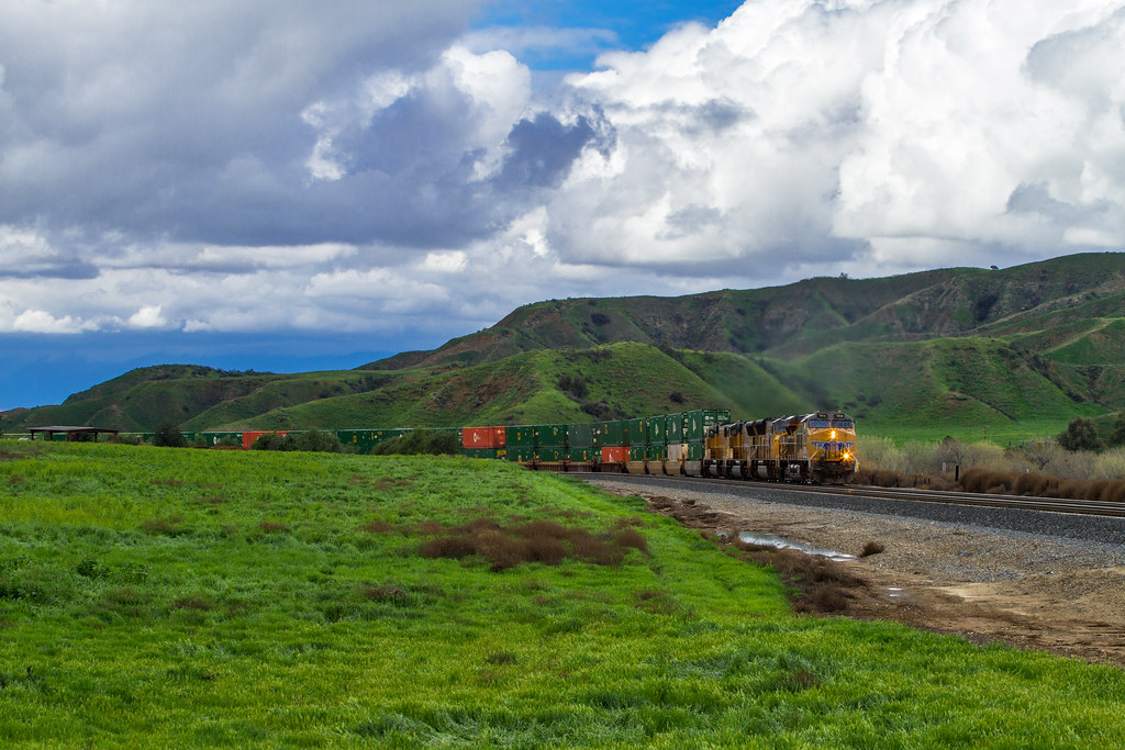
Related Photos:

View from Buff Rd LE

Winter Pond, Oak Glen, CA 1-19-13
Oak Glen Harvest Time 11-10-12
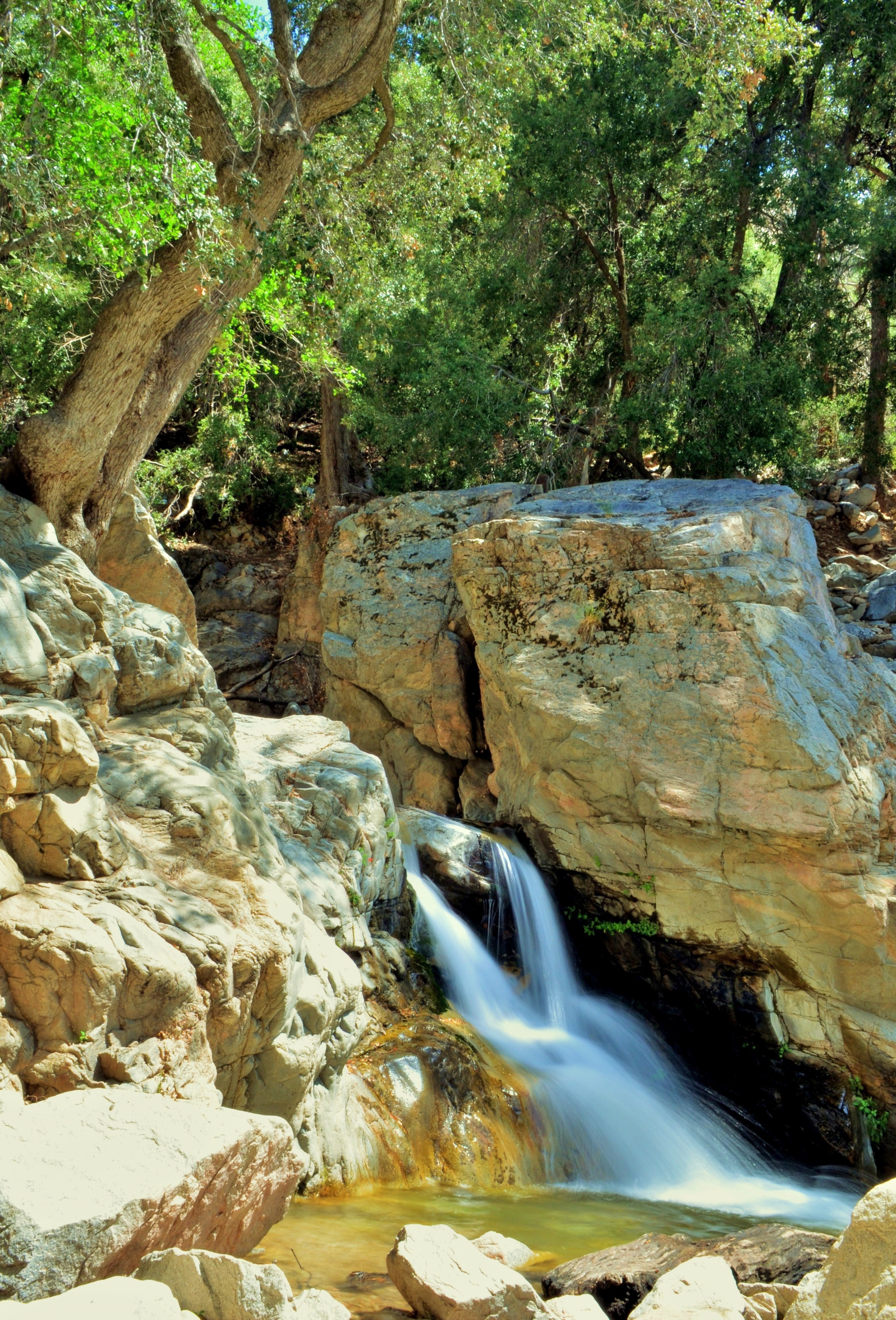
1 of (7) LOWER Falls- Valley of Falls, Mill Creek Canyon, San Bernadino Mountains
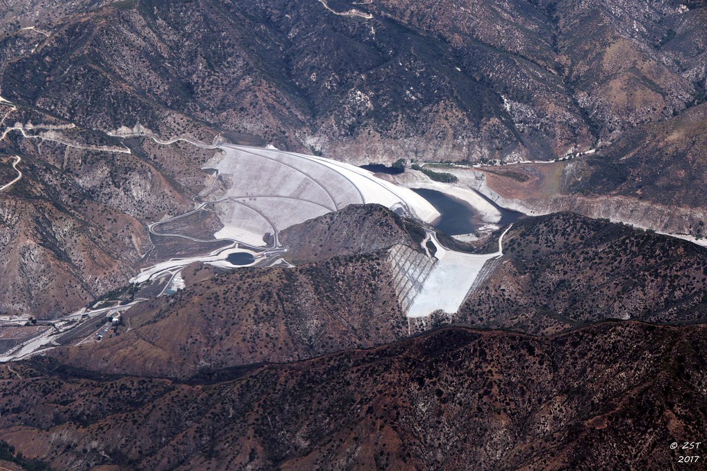
7 Oaks Dam

Sunset Valley I
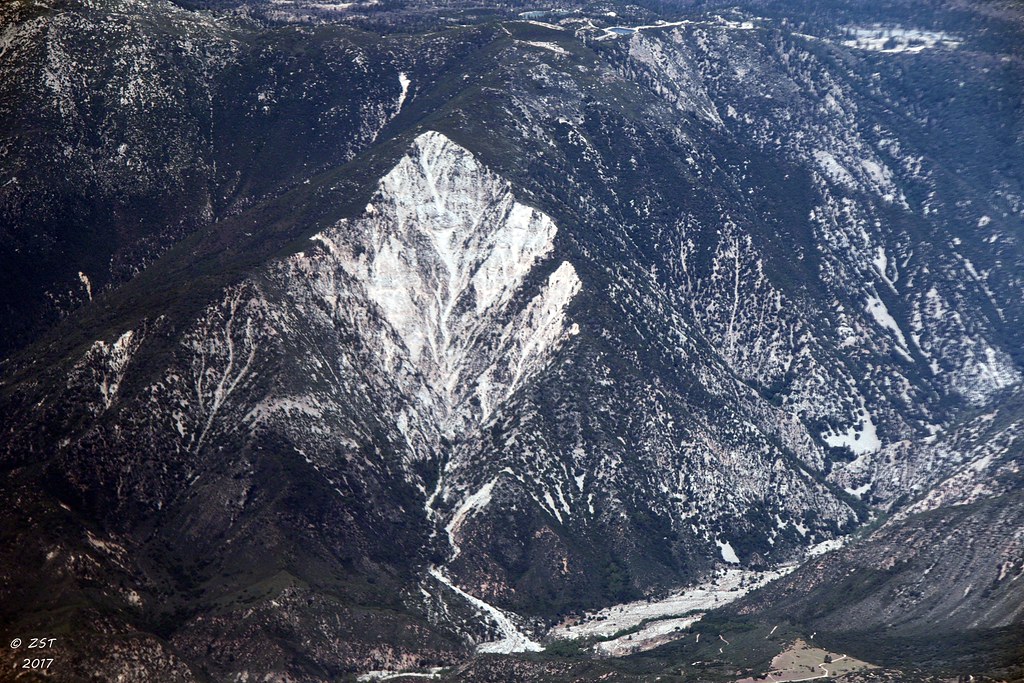
Erosion Scar [EXPLORED 5/26/17 - highest position #327]

ATK 714E @ El Casco

Santa Ana River Valley

Seven Oaks Dam

Big Falls Stream - Forest Falls, CA, USA

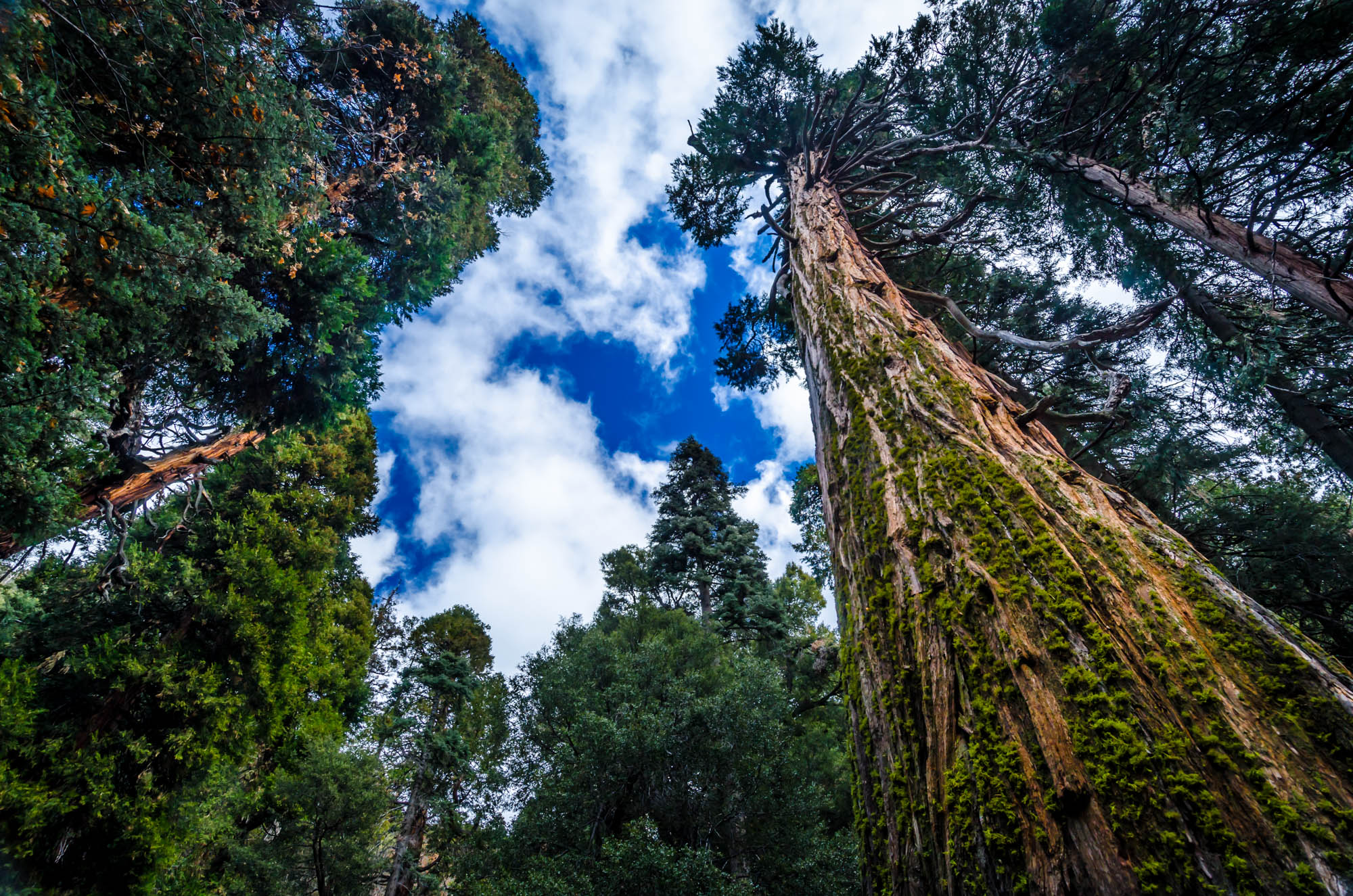
Valley View

Shooting Spot in the Hills

San Bernardino Valley

the view from here [7:52]

Back From the Desert

Not Too Shabby

sunny rear view

Bogart Park_0068

Big Falls Creek Long Exposure
View from the ladder

Snow Creek

Hills from Jack Rabbit Trail

UP 7492

UP 7939

Yucaipa/Mentone Fire

River Rock - Forest Falls, CA, USA
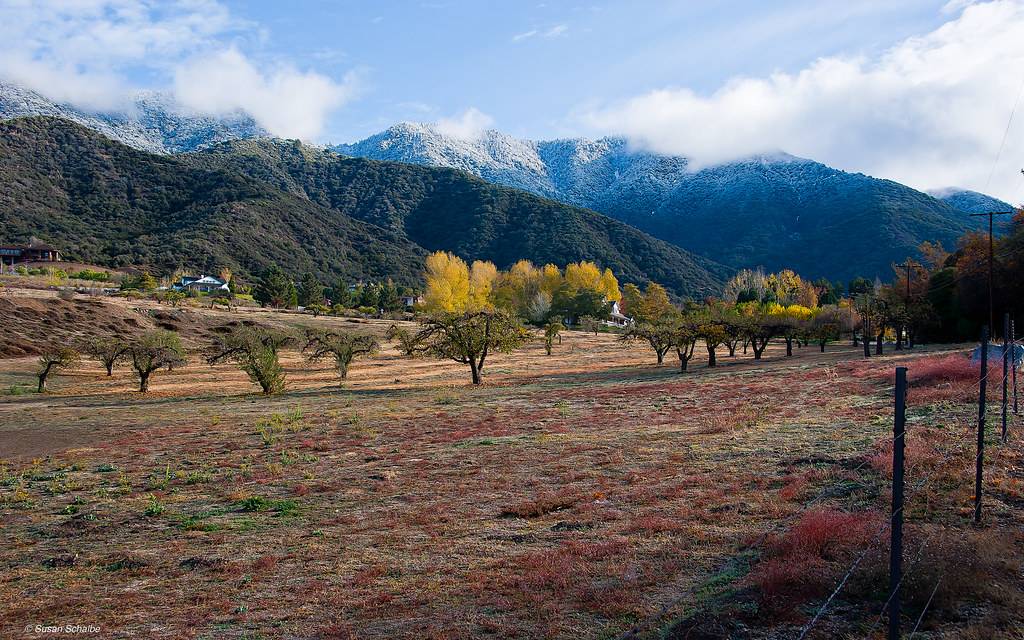
Autumn day in apple country
Mill Creek in Forest Falls, CA, USA

Social Gathering, Ford Park, Redlands, CA 8-12
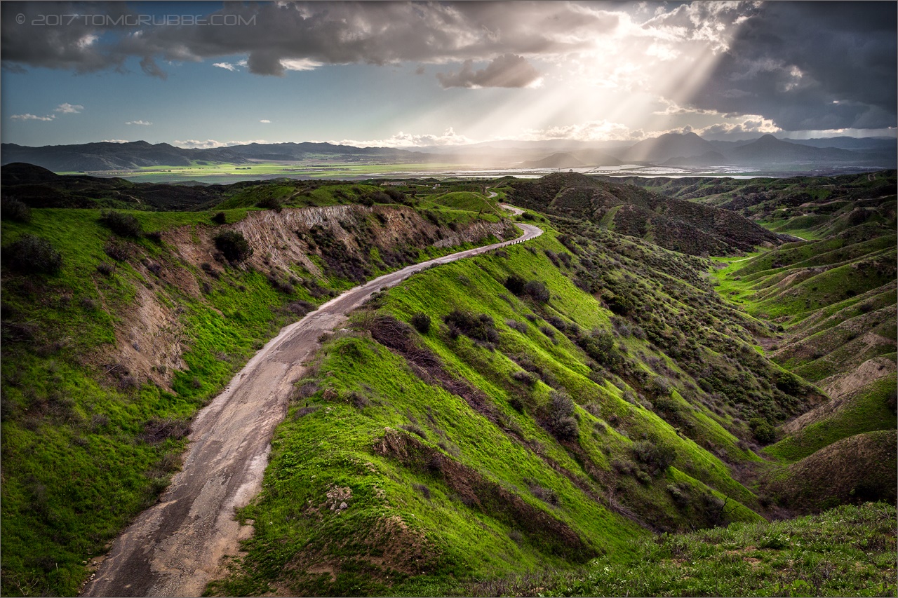
Lush Hills

San Timoteo Nature Trail
Jack Rabbit Trail Road
Reach - Forest Falls, CA, USA
Topographic Map of Blue Crest Rd, Yucaipa, CA, USA
Find elevation by address:

Places near Blue Crest Rd, Yucaipa, CA, USA:
35218 Fir Ave
10622 Bryant St
10961 Sandalwood Way
35367 Fir Ave
Sunnyside Drive
11050 Bryant St
34910 Shadow Wood Dr
10345 Country Ln
35536 Sleepy Hollow Ln
35674 Katona Ct
35678 Katona Ct
35678 Katona Ct
35670 Katona Ct
35666 Balsa St
35685 Sleepy Hollow Ln
Sleepy Hollow Lane
35665 Casa Vista St
34930 Amber Leaf Way
Oak Glen Road
35215 Juniper Ave
Recent Searches:
- Elevation map of Kabardino-Balkarian Republic, Russia
- Elevation of Tyrnyauz, Kabardino-Balkarian Republic, Russia
- Elevation of Sunset Dr, Hernando, MS, USA
- Elevation of Lake Rotoroa, Tasman, New Zealand
- Elevation of George St, New Bern, NC, USA
- Elevation of Cove Rd, Jasper, GA, USA
- Elevation of Cove Rd, Jasper, GA, USA
- Elevation of South Yankee Meadow Road, Forest Road, Paragonah, UT, USA
- Elevation of SW Elderview Dr, Sherwood, OR, USA
- Elevation of Hickory St, Greenville, NC, USA