Elevation of Jocelyn Ln, Yucaipa, CA, USA
Location: United States > California > San Bernardino County > Yucaipa >
Longitude: -117.02105
Latitude: 34.0681244
Elevation: -10000m / -32808feet
Barometric Pressure: 295KPa
Elevation Map:
Satellite Map:
Related Photos:

ATK 714E @ El Casco
San Bernardino National Forest

The Storms of Late Summer

sunny rear view

Back From the Desert

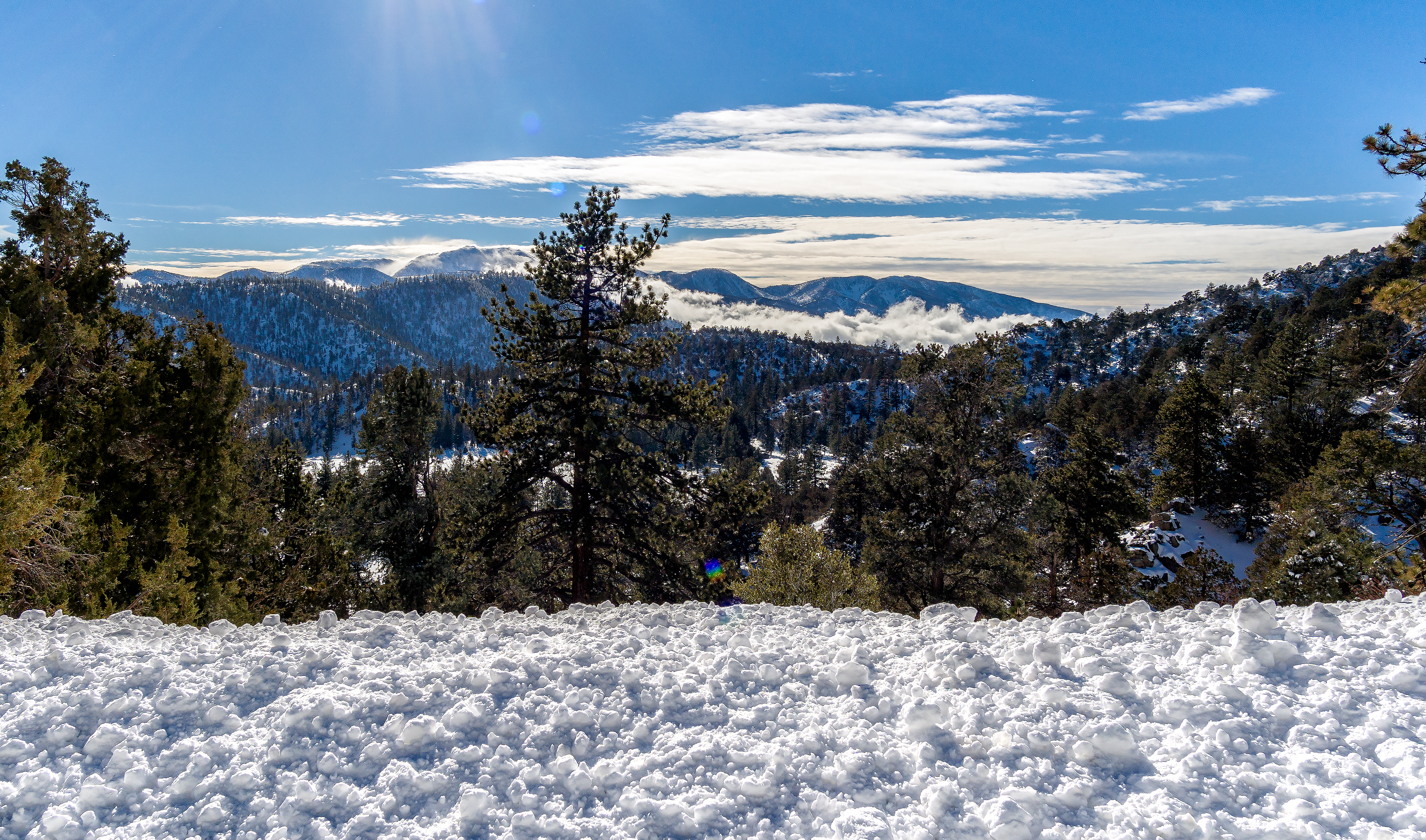
Mountains from Panorama Point 11-18-12

Swim Lane

Erosion Scar [EXPLORED 5/26/17 - highest position #327]

Sunset from Limber Pine Bench

View from Buff Rd LE

Bogart Park_0068

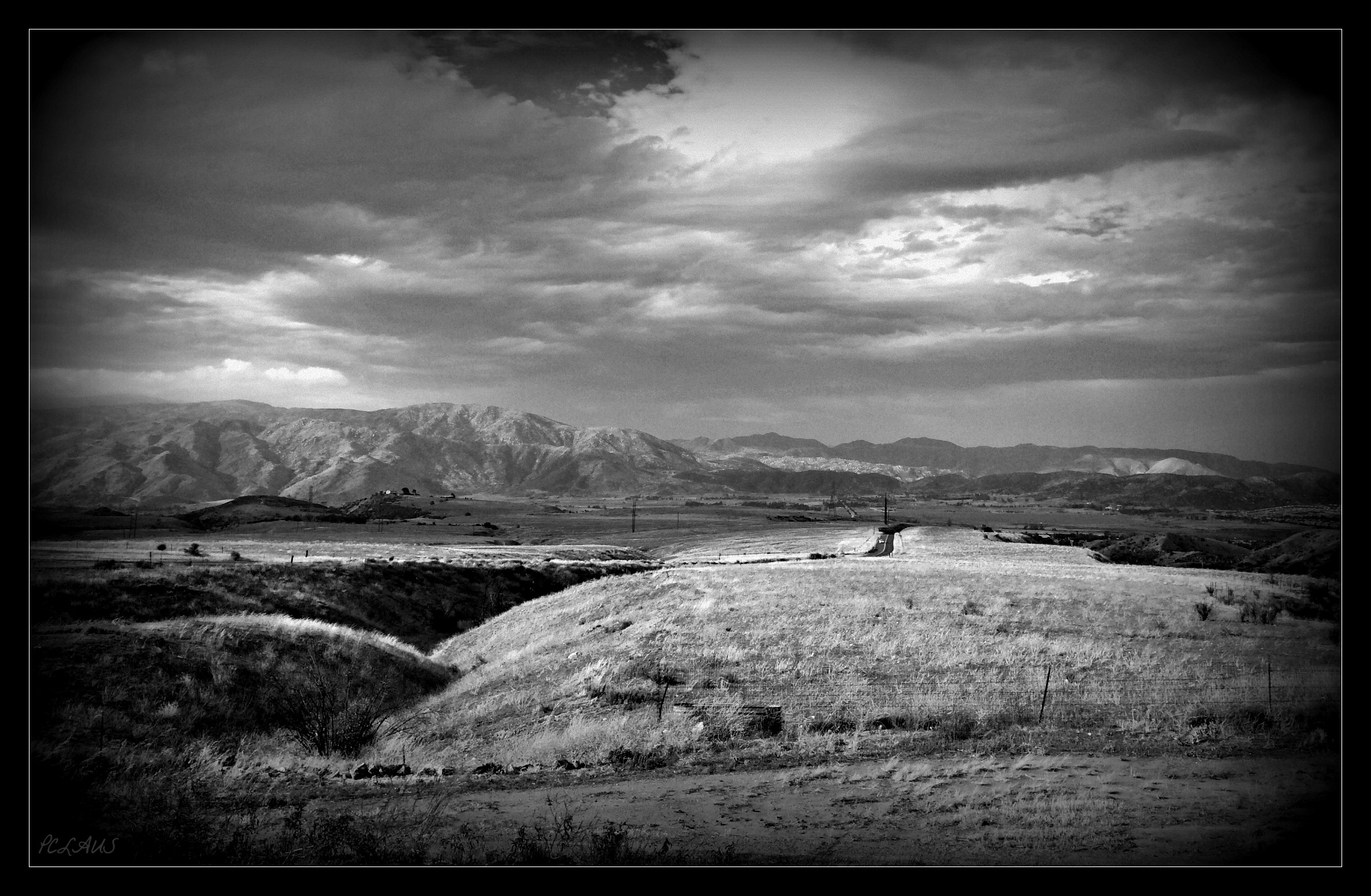
Santa Ana River Valley

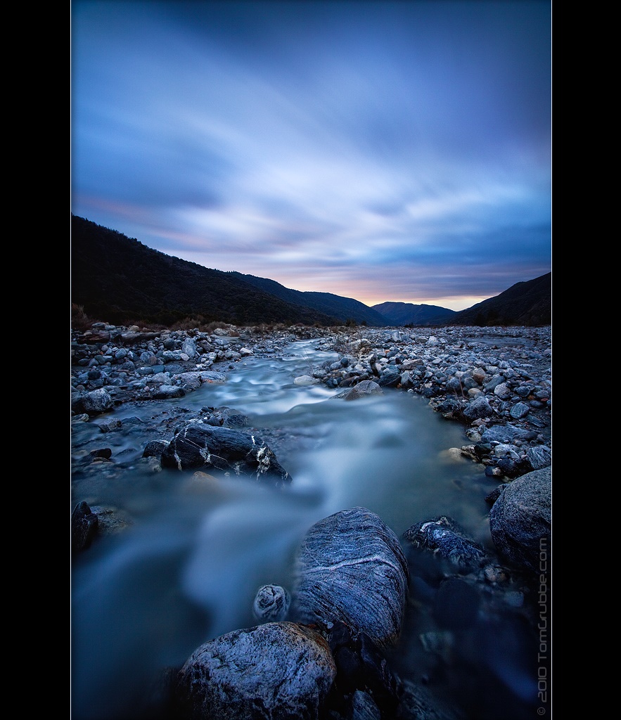
Big Falls Creek Long Exposure
the view from here [7:52]

Bogart Park_0059

Winter Pond, Oak Glen, CA 1-19-13

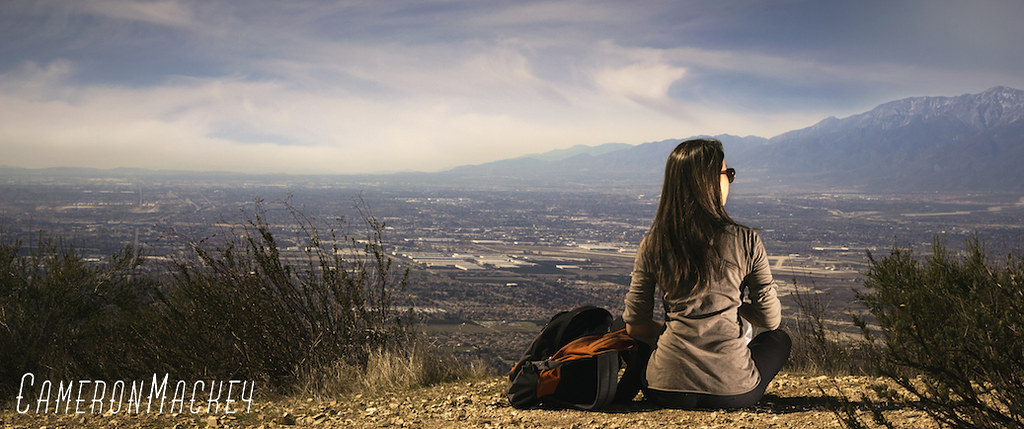
What a view this morning!

Not Too Shabby

Bogart Park_0041
Original to these lands.

Live Oak Farms, Wagon 12-9-12

San Timoteo Nature Trail

Snaking Up Beaumont

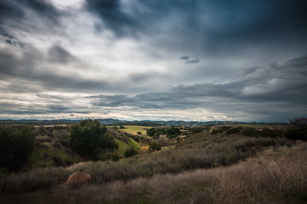
Lush Hills

Social Gathering, Ford Park, Redlands, CA 8-12

Good Intentions
Lights on for Safety - Redlands, CA, USA

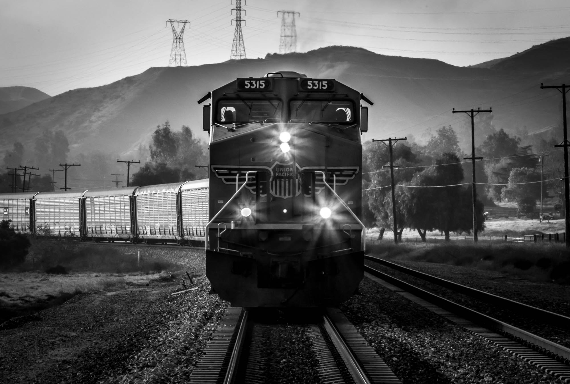
UP 7492

Lonely Tree

Mill Creek and Storm III
Bastille Day, 2014

Mill Creek Canyon
Feelings of Aqua

Mill Creek - Mentone, CA, USA

Big Falls Stream - Forest Falls, CA, USA

Romy in the field

Garnet St. Bridge - Mentone, CA, USA

Autumn day in apple country
Topographic Map of Jocelyn Ln, Yucaipa, CA, USA
Find elevation by address:

Places near Jocelyn Ln, Yucaipa, CA, USA:
Sleepy Hollow Lane
35685 Sleepy Hollow Ln
35536 Sleepy Hollow Ln
35666 Balsa St
Yucaipa, CA, USA
35670 Katona Ct
35678 Katona Ct
35678 Katona Ct
35674 Katona Ct
35215 Juniper Ave
35665 Casa Vista St
9859 Diamond St
10622 Bryant St
35367 Fir Ave
10757 Blue Crest Rd
10345 Country Ln
35218 Fir Ave
36009 Oak Glen Rd
11333 Fremont St
Oak Glen Road
Recent Searches:
- Elevation of Lake Rotoroa, Tasman, New Zealand
- Elevation of George St, New Bern, NC, USA
- Elevation of Cove Rd, Jasper, GA, USA
- Elevation of Cove Rd, Jasper, GA, USA
- Elevation of South Yankee Meadow Road, Forest Road, Paragonah, UT, USA
- Elevation of SW Elderview Dr, Sherwood, OR, USA
- Elevation of Hickory St, Greenville, NC, USA
- Elevation of Poplar Ln, Guffey, CO, USA
- Elevation of Falling Spring Rd, Clyde, NC, USA
- Elevation of Kingsfield St, Castle Rock, CO, USA