Elevation of Morman Trail, Humeston, IA, USA
Location: United States > Iowa > Clarke County > Franklin >
Longitude: -93.558003
Latitude: 40.955383
Elevation: 331m / 1086feet
Barometric Pressure: 97KPa
Elevation Map:
Satellite Map:
Related Photos:

Cinder Path Bike Trail

Hidden Pond

Hay Bale

From the cabin deck

Clarke County Sunset

Silver-spotted Skipper
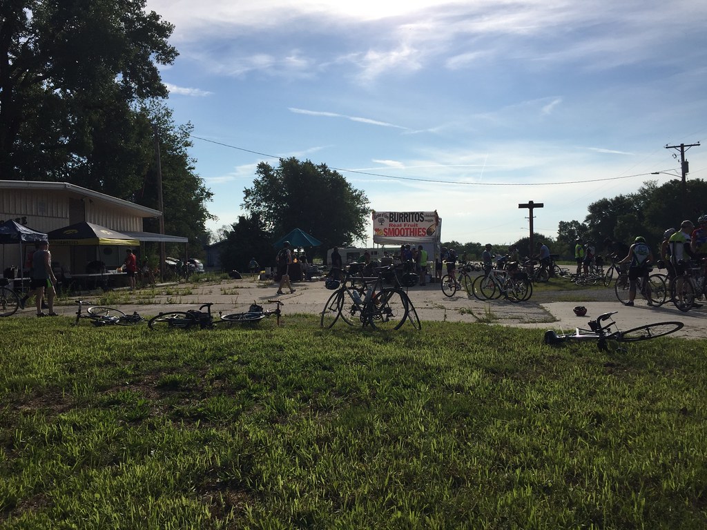
RAGBRAI 2016

Clarke County Sunrise

Clarke County Sunrise

Clarke County Sunrise

Clarke County Sunrise
Topographic Map of Morman Trail, Humeston, IA, USA
Find elevation by address:

Places near Morman Trail, Humeston, IA, USA:
Franklin
Sherman St, Humeston, IA, USA
Woodburn
Jackson
Center St, Derby, IA, USA
Broad St, Humeston, IA, USA
Humeston
Jackson
Lucas
Front St, Lucas, IA, USA
Richman
th Ave, Woodburn, IA, USA
Osceola
Liberty
th St, Lucas, IA, USA
Otter Creek
Whitebreast
1071 Harken Hills Dr
10611 240th Ave
th Ln, Chariton, IA, USA
Recent Searches:
- Elevation of Falling Spring Rd, Clyde, NC, USA
- Elevation of Kingsfield St, Castle Rock, CO, USA
- Elevation of AMELIA CT HSE, VA, USA
- Elevation of Abbey Dr, Virginia Beach, VA, USA
- Elevation of Brooks Lp, Spearfish, SD, USA
- Elevation of Panther Dr, Maggie Valley, NC, USA
- Elevation of Jais St - Wadi Shehah - Ras al Khaimah - United Arab Emirates
- Elevation of Shawnee Avenue, Shawnee Ave, Easton, PA, USA
- Elevation of Scenic Shore Dr, Kingwood Area, TX, USA
- Elevation of W Prive Cir, Delray Beach, FL, USA