Elevation of Franklin, IA, USA
Location: United States > Iowa > Clarke County >
Longitude: -93.621780
Latitude: 40.9423522
Elevation: 332m / 1089feet
Barometric Pressure: 97KPa
Elevation Map:
Satellite Map:
Related Photos:
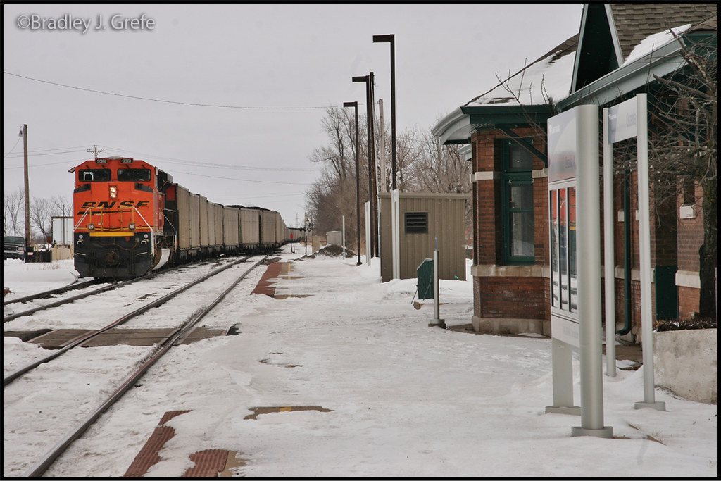
BNSF 9361 - Osceola, IA
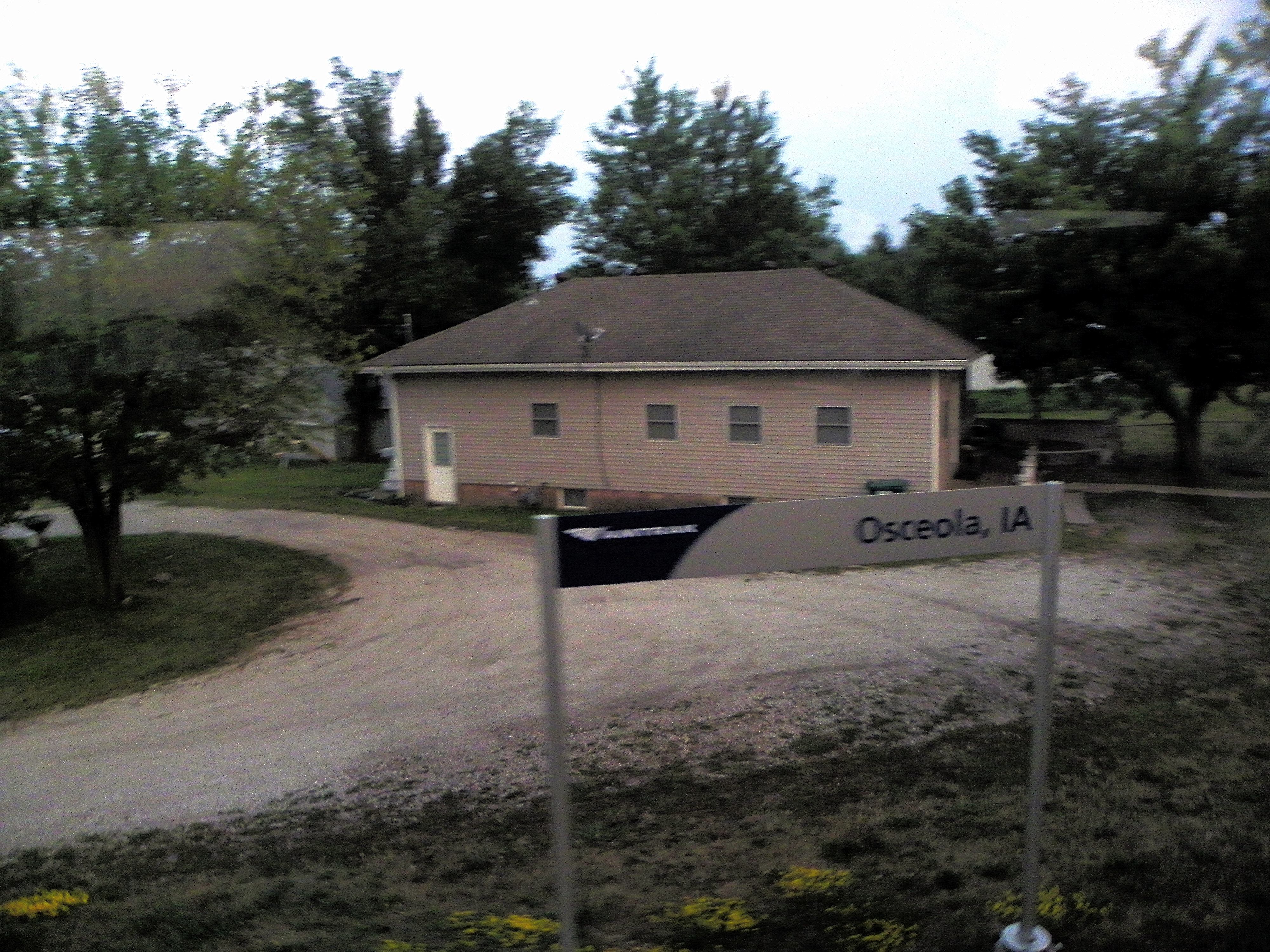
Osceola, Clark County, Iowa

Hay Bale

From the cabin deck

RAGBRAI 2016

Hidden Pond

Clarke County Sunrise

Clarke County Sunrise

Clarke County Sunrise

Clarke County Sunset

Clarke County Sunrise

Buck Fight

Silver-spotted Skipper
Topographic Map of Franklin, IA, USA
Find elevation by address:

Places in Franklin, IA, USA:
Places near Franklin, IA, USA:
Morman Trail, Humeston, IA, USA
Woodburn
Sherman St, Humeston, IA, USA
Jackson
Osceola
10611 240th Ave
Broad St, Humeston, IA, USA
Humeston
1071 Harken Hills Dr
th Ave, Woodburn, IA, USA
Center St, Derby, IA, USA
S Main St, Osceola, IA, USA
Richman
Osceola
th Ave, Osceola, IA, USA
Doyle St, Osceola, IA, USA
Jackson
Clarke County
Osceola, IA, USA
1000 Jeffreys Dr
Recent Searches:
- Elevation of 15th Ave SE, St. Petersburg, FL, USA
- Elevation of Beall Road, Beall Rd, Florida, USA
- Elevation of Leguwa, Nepal
- Elevation of County Rd, Enterprise, AL, USA
- Elevation of Kolchuginsky District, Vladimir Oblast, Russia
- Elevation of Shustino, Vladimir Oblast, Russia
- Elevation of Lampiasi St, Sarasota, FL, USA
- Elevation of Elwyn Dr, Roanoke Rapids, NC, USA
- Elevation of Congressional Dr, Stevensville, MD, USA
- Elevation of Bellview Rd, McLean, VA, USA