Elevation of Sherman St, Humeston, IA, USA
Location: United States > Iowa > Clarke County > Jackson > Woodburn >
Longitude: -93.598678
Latitude: 41.011804
Elevation: 295m / 968feet
Barometric Pressure: 98KPa
Elevation Map:
Satellite Map:
Related Photos:
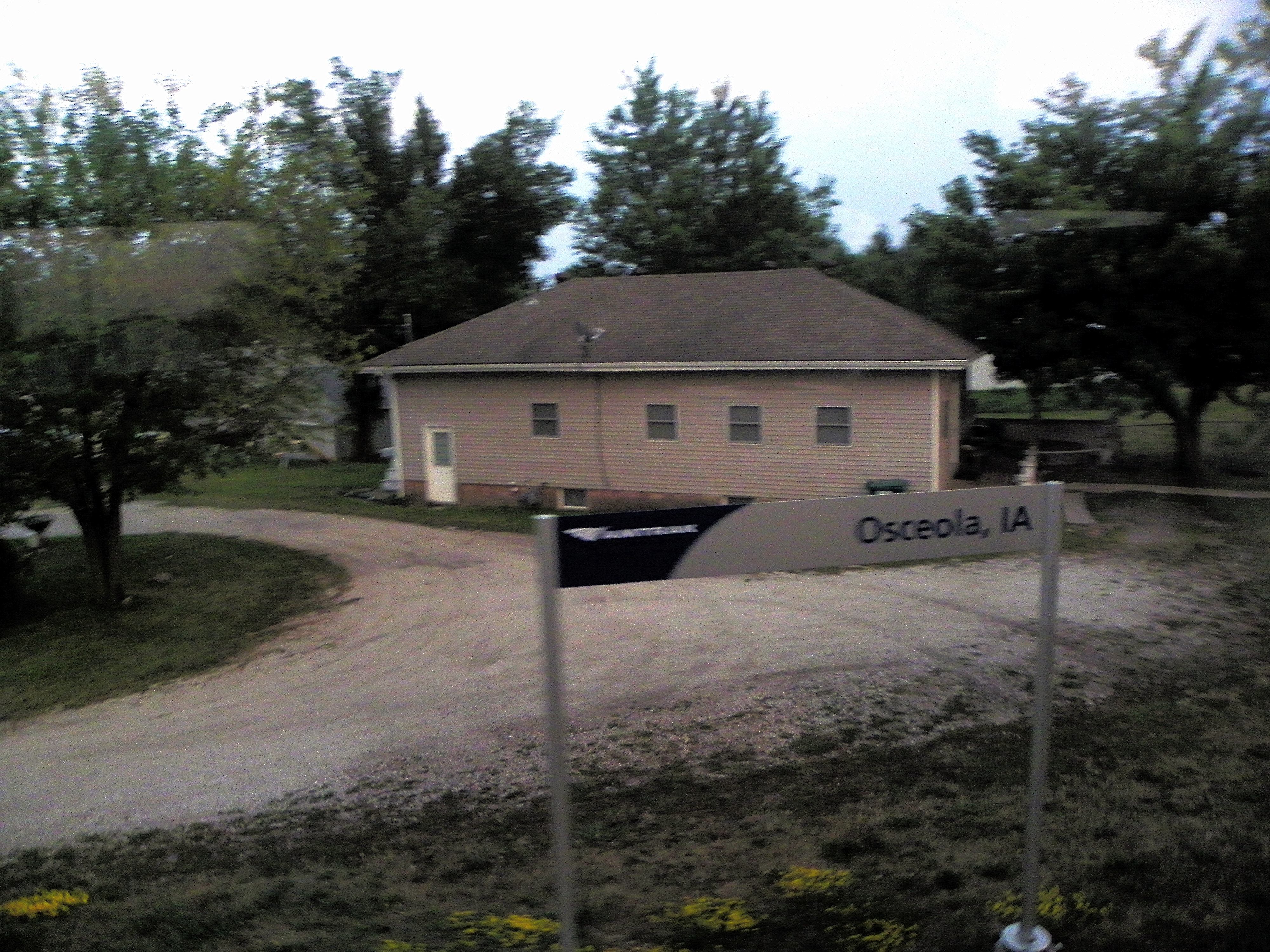
Osceola IA .. E3_20150202_143839_0847_v01
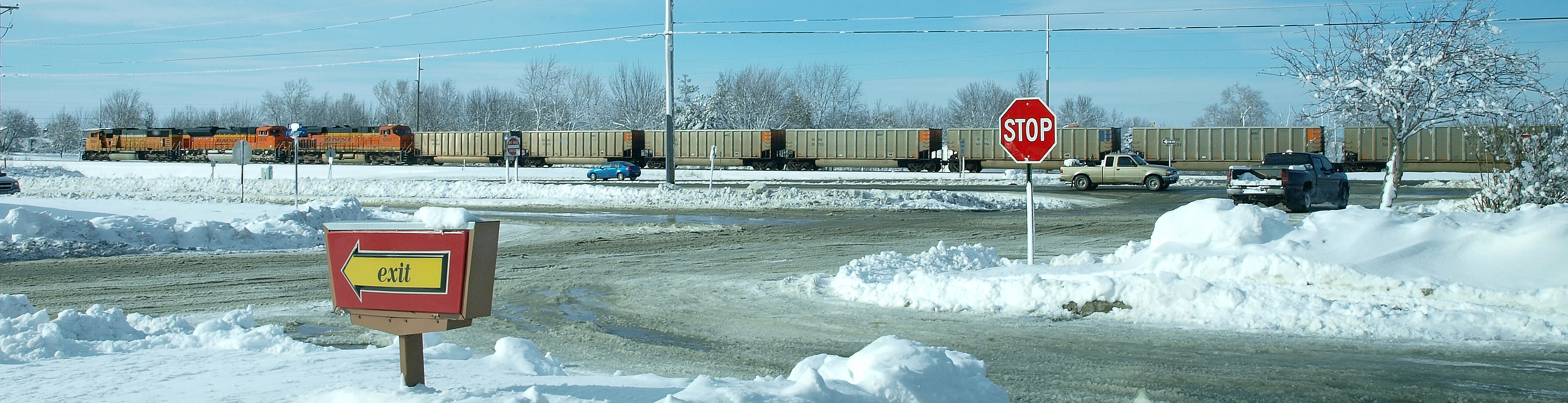
Osceola, Clark County, Iowa
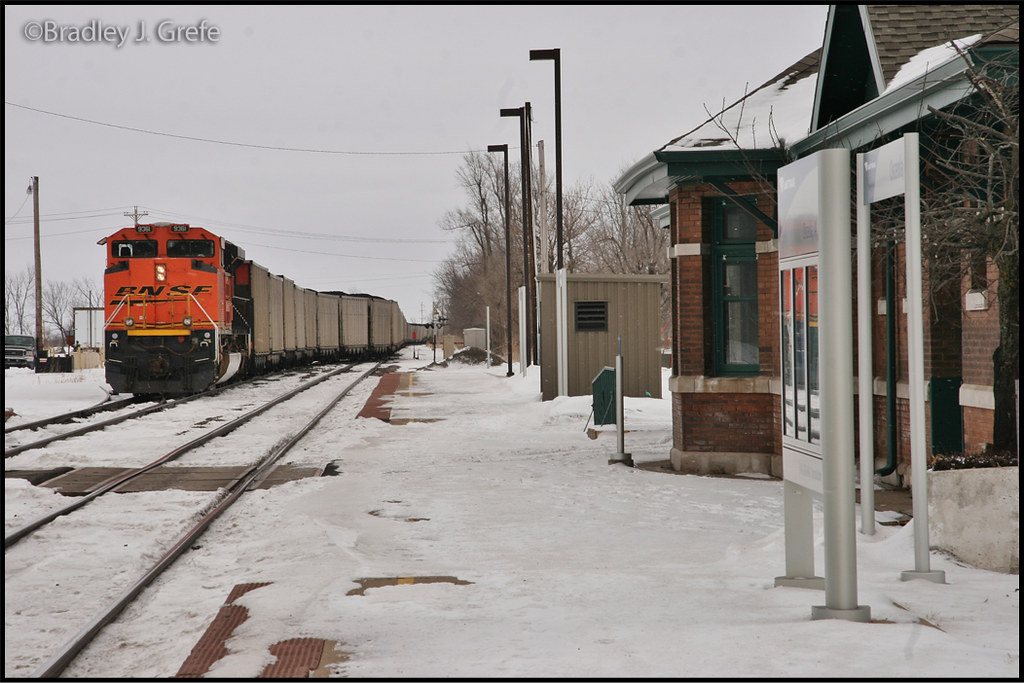
BNSF 9361 - Osceola, IA

Hidden Pond

Hay Bale

Clarke County Sunrise

Clarke County Sunrise

Clarke County Sunrise

Clarke County Sunset

Clarke County Sunrise

Silver-spotted Skipper
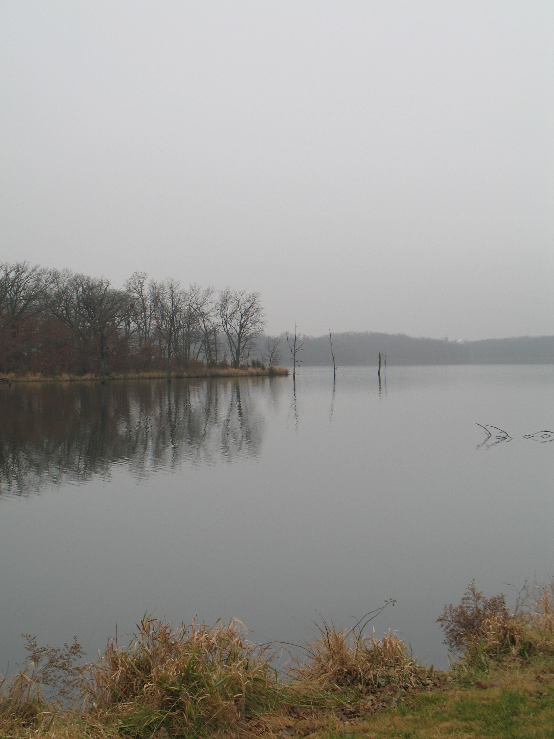
West Lake

From the cabin deck
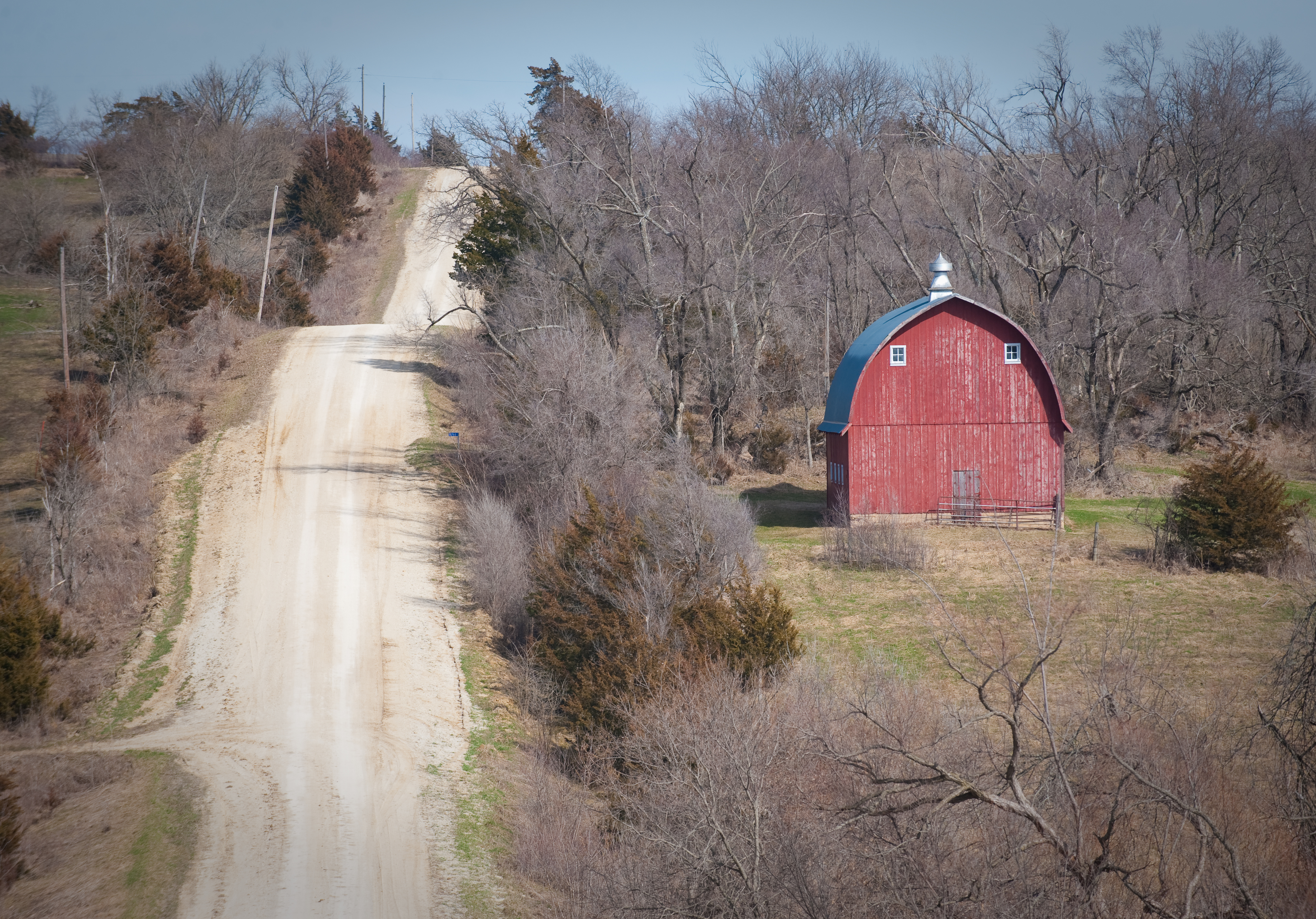
Scenic Barn
Topographic Map of Sherman St, Humeston, IA, USA
Find elevation by address:

Places near Sherman St, Humeston, IA, USA:
Woodburn
Jackson
Morman Trail, Humeston, IA, USA
Franklin
th Ave, Woodburn, IA, USA
Liberty
Osceola
Jackson
Front St, Lucas, IA, USA
Lucas
1071 Harken Hills Dr
24832 Us-69
th St, Lucas, IA, USA
Center St, Derby, IA, USA
Fremont
Otter Creek
Pacific St, New Virginia, IA, USA
S Main St, Osceola, IA, USA
Osceola
1000 Jeffreys Dr
Recent Searches:
- Elevation of Bella Terra Blvd, Estero, FL, USA
- Elevation of Estates Loop, Priest River, ID, USA
- Elevation of Woodland Oak Pl, Thousand Oaks, CA, USA
- Elevation of Brownsdale Rd, Renfrew, PA, USA
- Elevation of Corcoran Ln, Suffolk, VA, USA
- Elevation of Mamala II, Sariaya, Quezon, Philippines
- Elevation of Sarangdanda, Nepal
- Elevation of 7 Waterfall Way, Tomball, TX, USA
- Elevation of SW 57th Ave, Portland, OR, USA
- Elevation of Crocker Dr, Vacaville, CA, USA