Elevation of Liberty, IA, USA
Location: United States > Iowa > Clarke County >
Longitude: -93.601520
Latitude: 41.1242537
Elevation: 312m / 1024feet
Barometric Pressure: 98KPa
Elevation Map:
Satellite Map:
Related Photos:

Hidden Pond

Promachus vertebratus
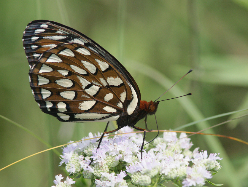
Regal Fritillary (Speyeria idalia occidentalis)
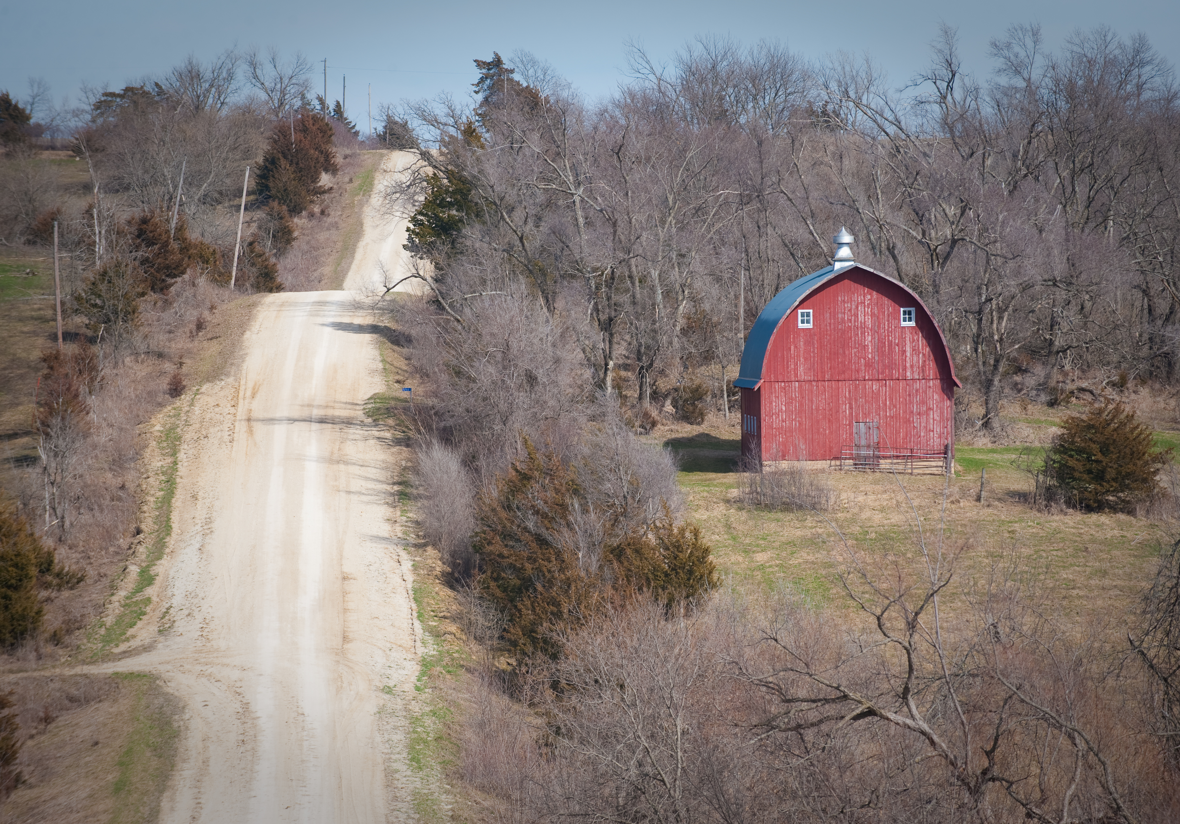
Scenic Barn

Silver-spotted Skipper

Post Office 50210 (New Virginia, Iowa)

Clarke County Sunset
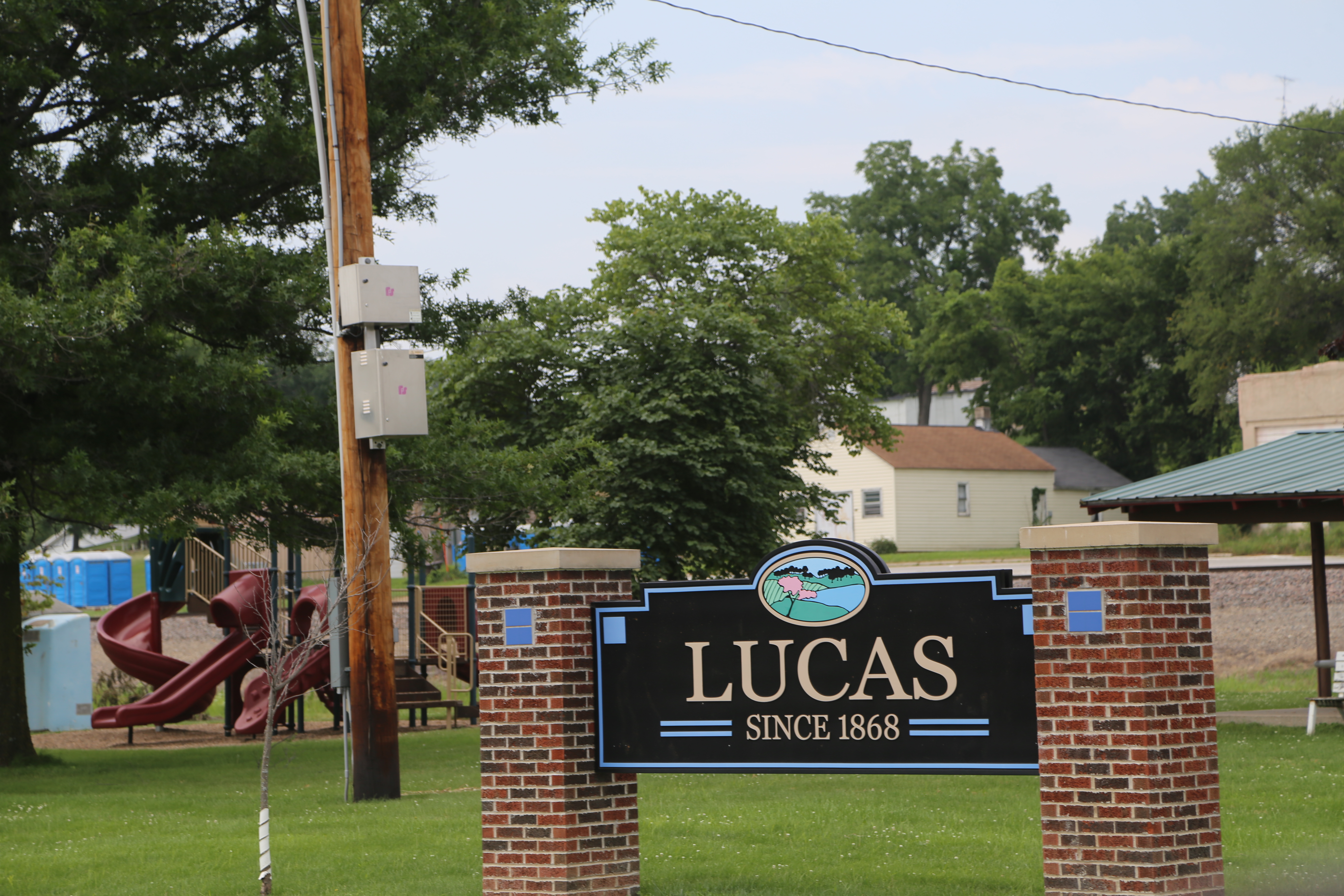
Lucas Iowa, Lucas County IA
Lucas Iowa, Lucas County IA

Stephens State Forest path

Stephens State Forest path

Hidden Pond

Wooded Path
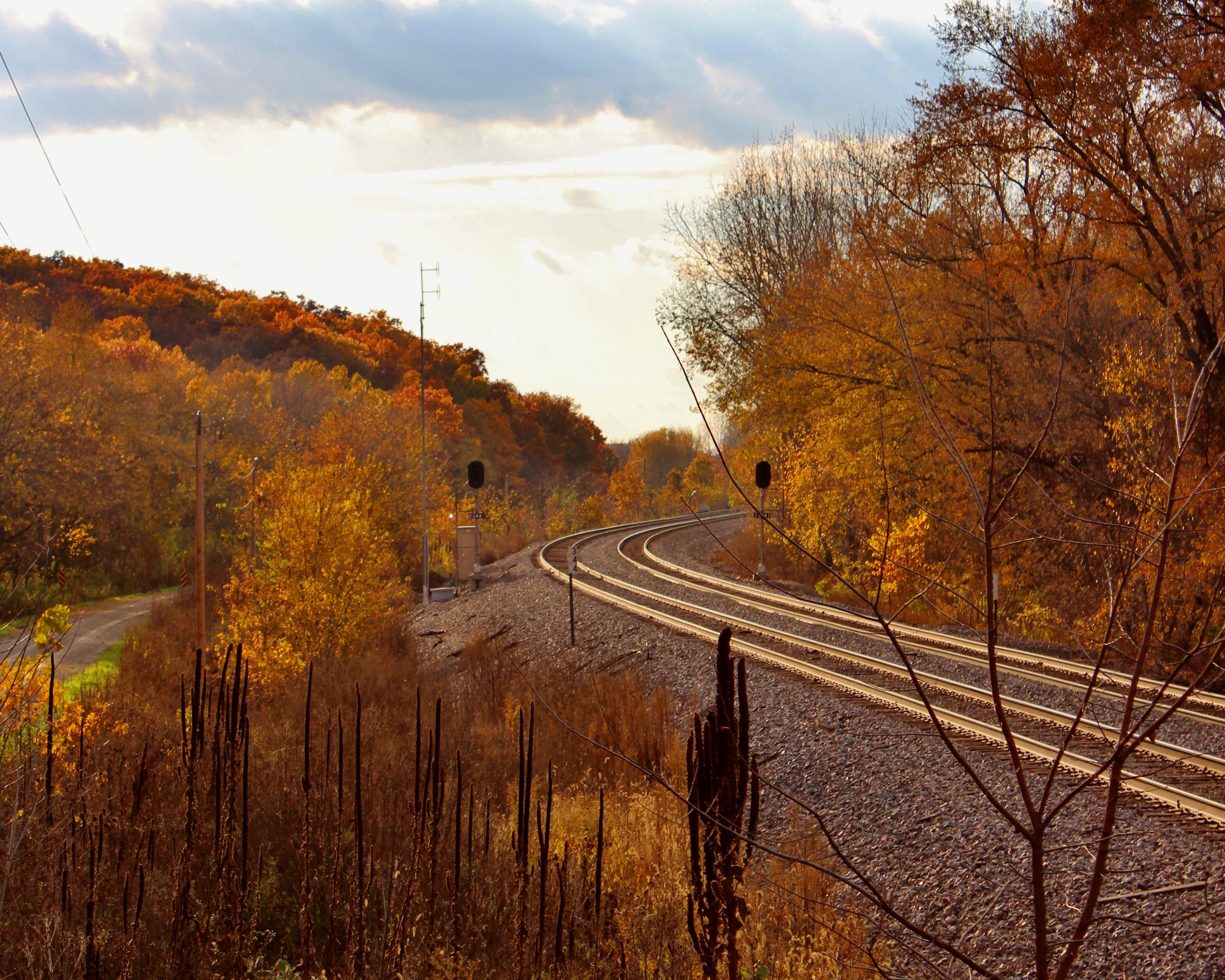
Lucas County Rails
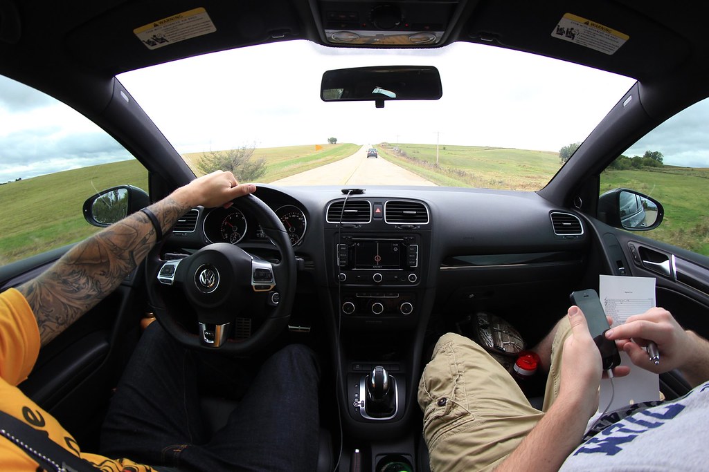
Country cruisin

Gray Car Team

1987.19.55
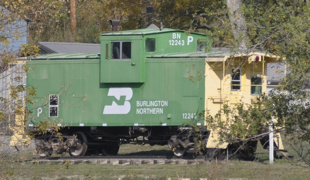
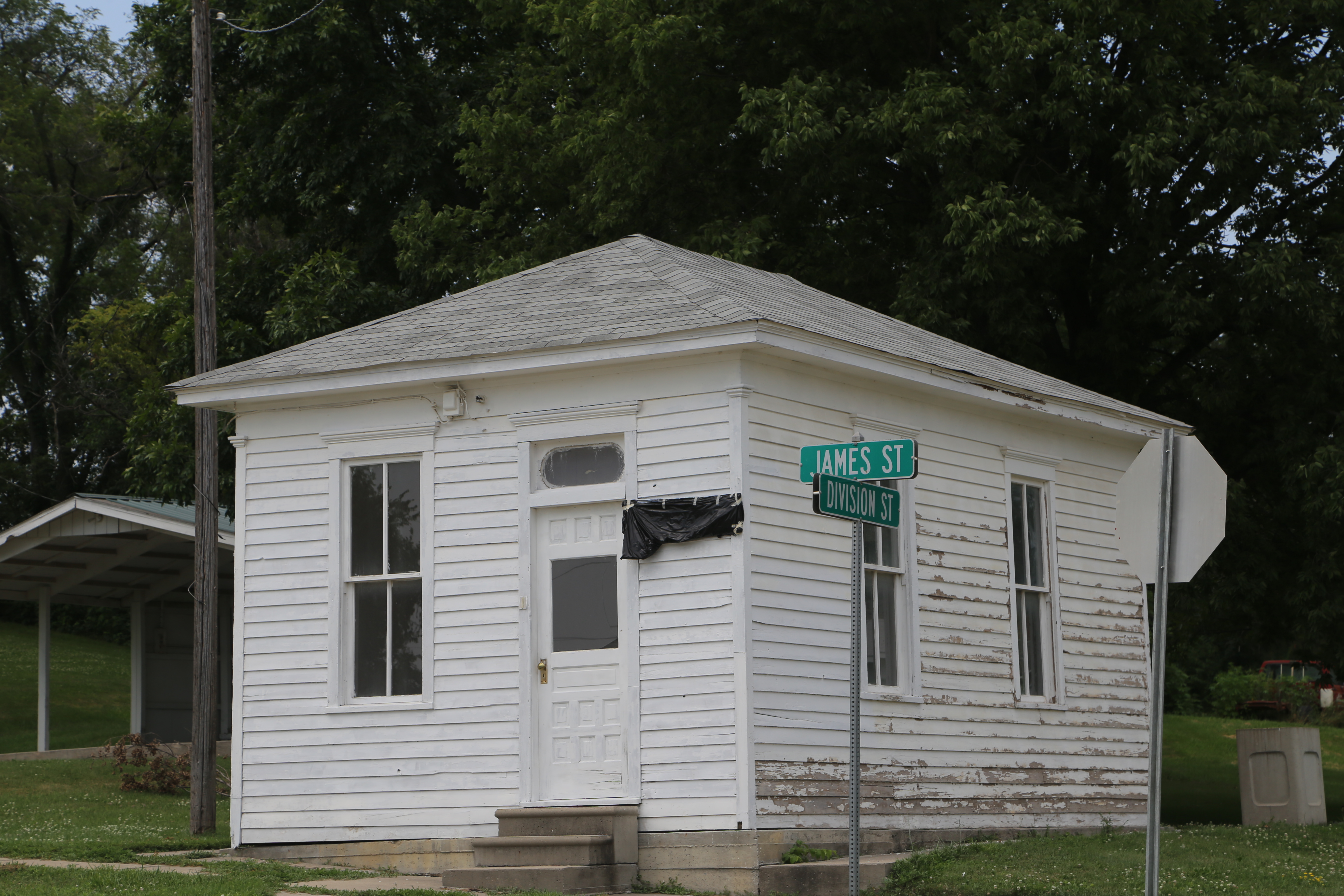
Lucas, Iowa

Good morning to my daughter from 150 mi away

The rides are fewer now . . .

Harvester (Feniseca tarquinius)
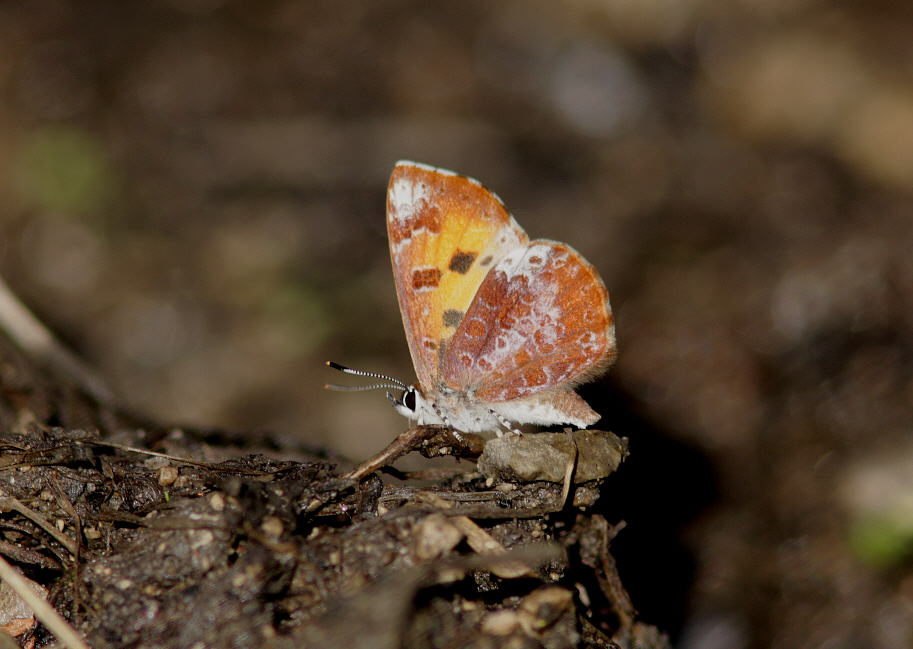
Harvester (Feniseca tarquinius)
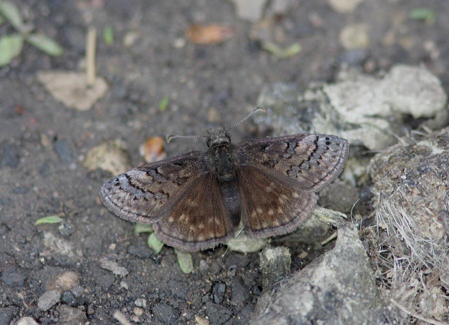
Sleepy Duskywing (Erynnis brizo)

Sleepy Duskywing (Erynnis brizo)
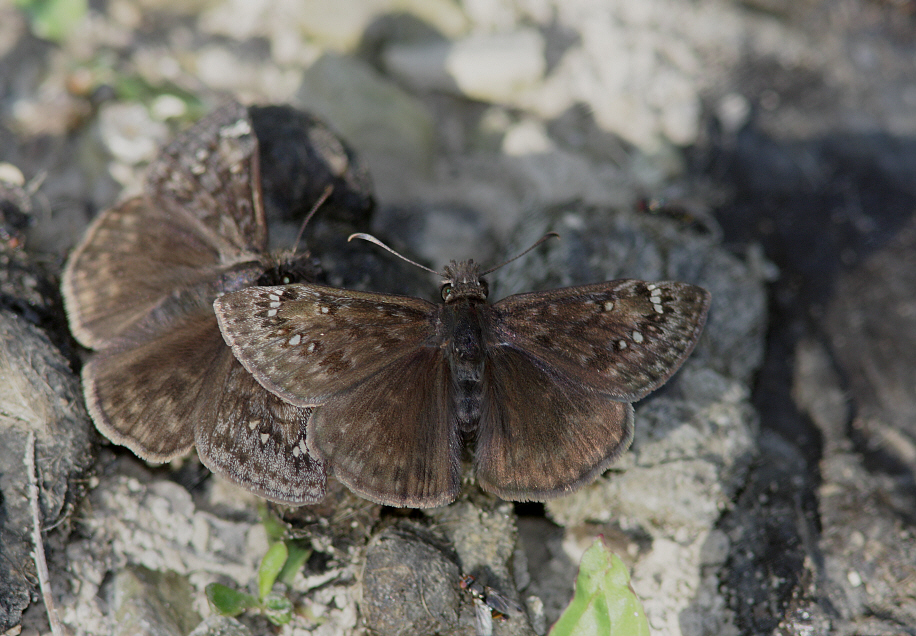
Horace's Duskywings (Erynnis horatius)
Topographic Map of Liberty, IA, USA
Find elevation by address:

Places in Liberty, IA, USA:
Places near Liberty, IA, USA:
th Ave, Woodburn, IA, USA
24832 Us-69
Squaw
Jackson
th Ave, Indianola, IA, USA
Woodburn
Sherman St, Humeston, IA, USA
Otter Creek
Fremont
th St, Lucas, IA, USA
Pacific St, New Virginia, IA, USA
Main St, New Virginia, IA, USA
New Virginia
Jackson
Virginia
Osceola
White Oak
Front St, Lucas, IA, USA
Lucas
Morman Trail, Humeston, IA, USA
Recent Searches:
- Elevation of Bella Terra Blvd, Estero, FL, USA
- Elevation of Estates Loop, Priest River, ID, USA
- Elevation of Woodland Oak Pl, Thousand Oaks, CA, USA
- Elevation of Brownsdale Rd, Renfrew, PA, USA
- Elevation of Corcoran Ln, Suffolk, VA, USA
- Elevation of Mamala II, Sariaya, Quezon, Philippines
- Elevation of Sarangdanda, Nepal
- Elevation of 7 Waterfall Way, Tomball, TX, USA
- Elevation of SW 57th Ave, Portland, OR, USA
- Elevation of Crocker Dr, Vacaville, CA, USA