Elevation of Osceola, IA, USA
Location: United States > Iowa > Clarke County >
Longitude: -93.7130493
Latitude: 41.0301616
Elevation: 339m / 1112feet
Barometric Pressure: 0KPa
Related Photos:

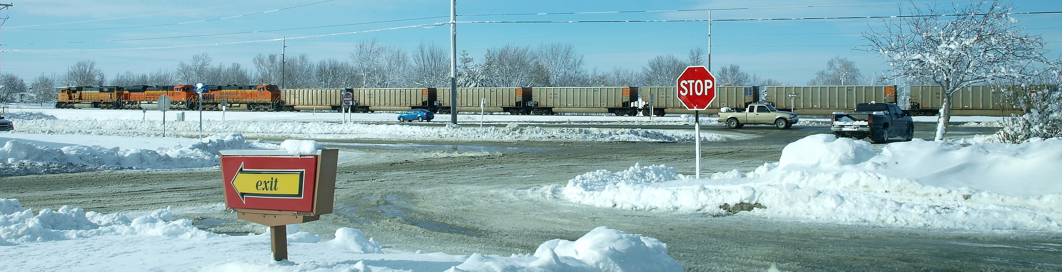
BNSF 5803
Osceola IA .. E3_20150202_143839_0847_v01
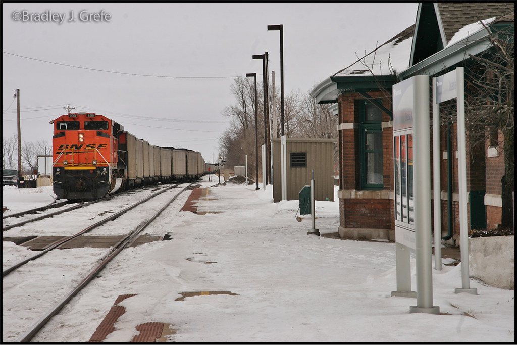
BNSF 9361 - Osceola, IA
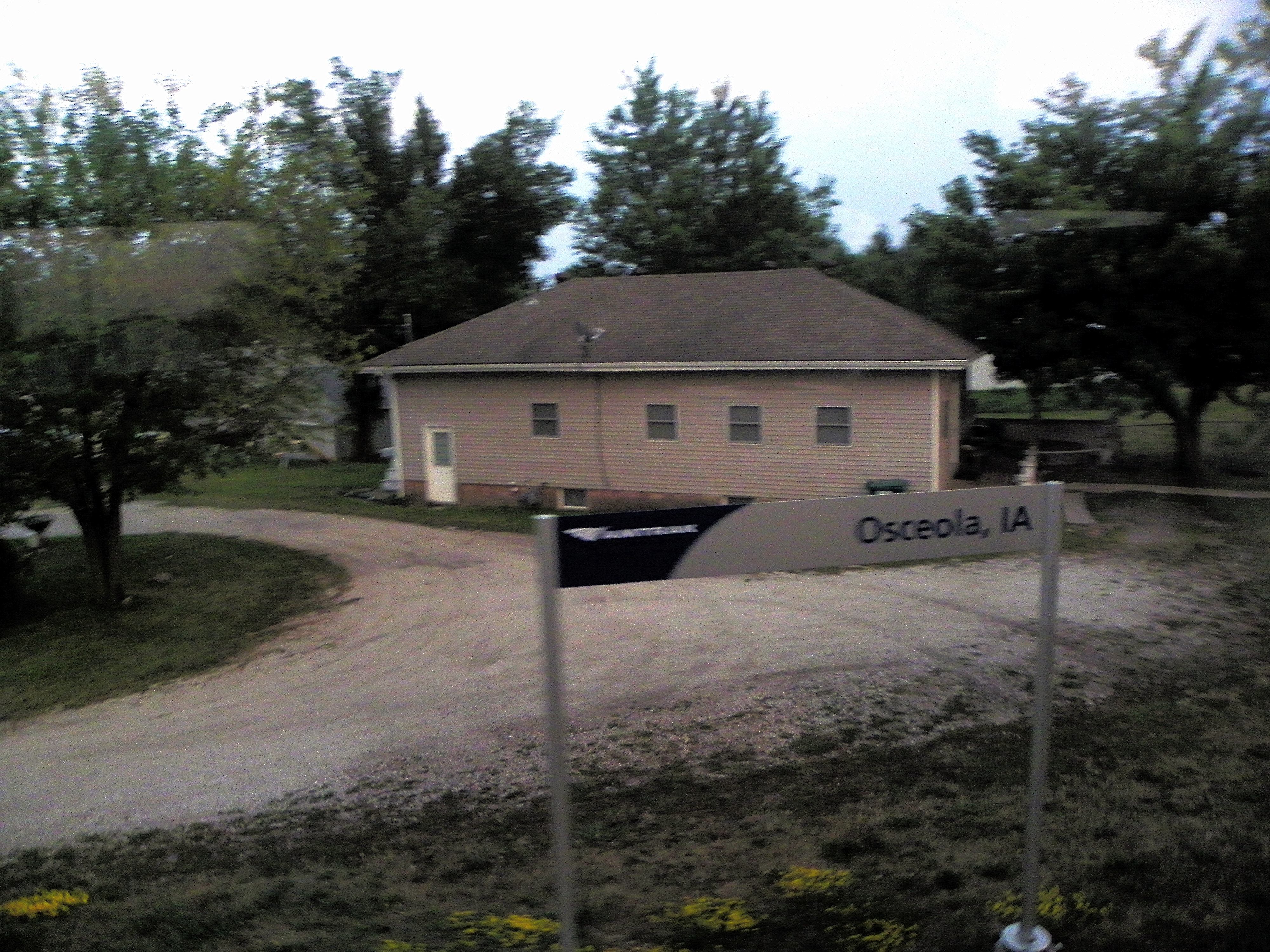
Osceola, Clark County, Iowa

Hay Bale

Clarke County Sunrise

Clarke County Sunrise

Clarke County Sunrise

Clarke County Sunset

Clarke County Sunrise

Regal Fritillary (Speyeria idalia occidentalis)
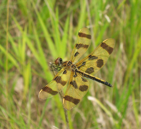
Halloween Pennant (Celithemis eponina)

Tawny-edged Skipper (Polites themistocles themistocles)
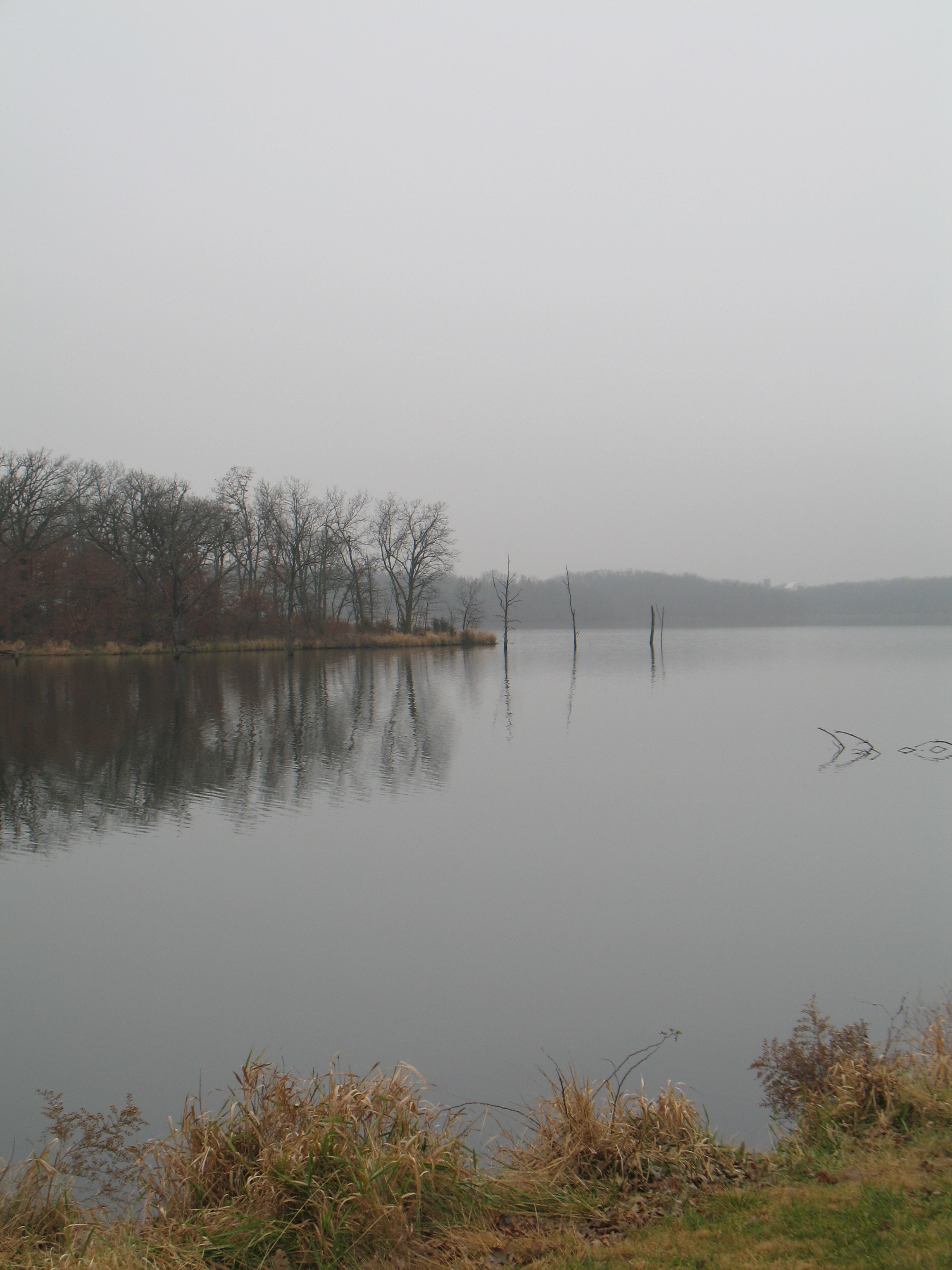
West Lake
Topographic Map of Osceola, IA, USA
Find elevation by address:

Places in Osceola, IA, USA:
Places near Osceola, IA, USA:
1071 Harken Hills Dr
S Main St, Osceola, IA, USA
Osceola
1000 Jeffreys Dr
th Ave, Osceola, IA, USA
Clarke County
Osceola, IA, USA
Fremont
Pacific St, New Virginia, IA, USA
205th Avenue
Jackson
Woodburn
Sherman St, Humeston, IA, USA
Doyle St, Osceola, IA, USA
Franklin
Ward
th Ave, Woodburn, IA, USA
Liberty
10611 240th Ave
1913 Orange St
Recent Searches:
- Elevation map of Greenland, Greenland
- Elevation of Sullivan Hill, New York, New York, 10002, USA
- Elevation of Morehead Road, Withrow Downs, Charlotte, Mecklenburg County, North Carolina, 28262, USA
- Elevation of 2800, Morehead Road, Withrow Downs, Charlotte, Mecklenburg County, North Carolina, 28262, USA
- Elevation of Yangbi Yi Autonomous County, Yunnan, China
- Elevation of Pingpo, Yangbi Yi Autonomous County, Yunnan, China
- Elevation of Mount Malong, Pingpo, Yangbi Yi Autonomous County, Yunnan, China
- Elevation map of Yongping County, Yunnan, China
- Elevation of North 8th Street, Palatka, Putnam County, Florida, 32177, USA
- Elevation of 107, Big Apple Road, East Palatka, Putnam County, Florida, 32131, USA
- Elevation of Jiezi, Chongzhou City, Sichuan, China
- Elevation of Chongzhou City, Sichuan, China
- Elevation of Huaiyuan, Chongzhou City, Sichuan, China
- Elevation of Qingxia, Chengdu, Sichuan, China
- Elevation of Corso Fratelli Cairoli, 35, Macerata MC, Italy
- Elevation of Tallevast Rd, Sarasota, FL, USA
- Elevation of 4th St E, Sonoma, CA, USA
- Elevation of Black Hollow Rd, Pennsdale, PA, USA
- Elevation of Oakland Ave, Williamsport, PA, USA
- Elevation of Pedrógão Grande, Portugal