Elevation of Jackson, IA, USA
Location: United States > Iowa > Clarke County >
Longitude: -93.601520
Latitude: 41.0437614
Elevation: 325m / 1066feet
Barometric Pressure: 97KPa
Elevation Map:
Satellite Map:
Related Photos:
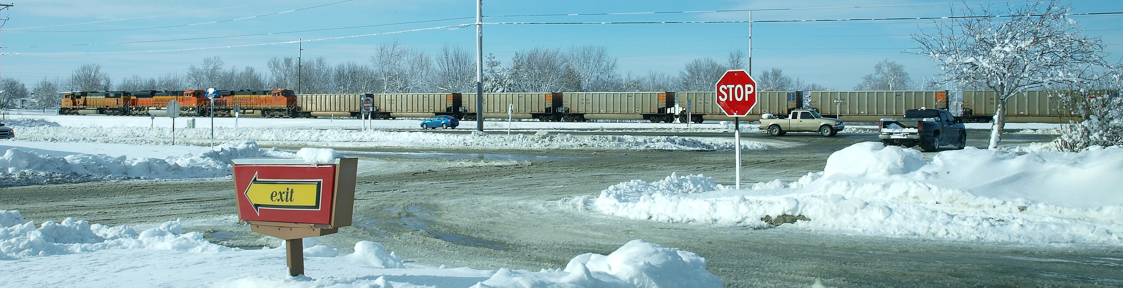
Osceola IA .. E3_20150202_143839_0847_v01
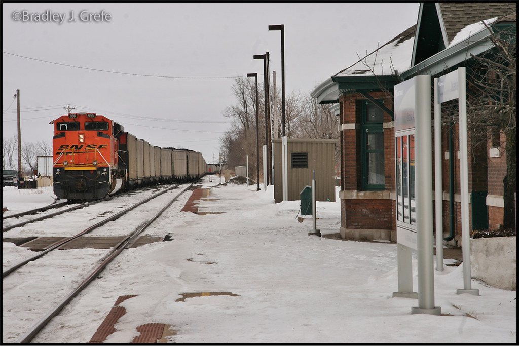
BNSF 9361 - Osceola, IA
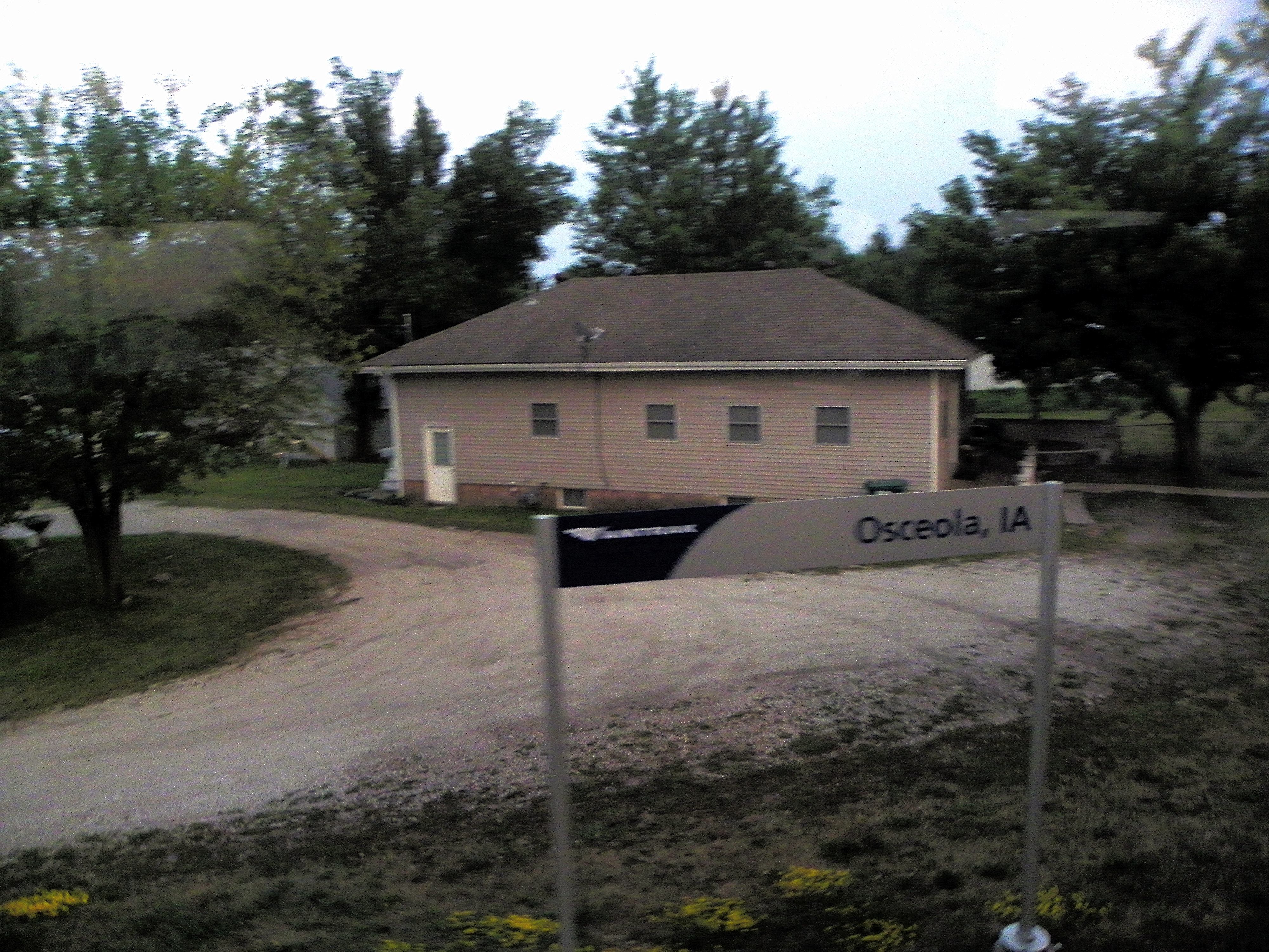
Osceola, Clark County, Iowa

Hidden Pond

Clarke County Sunrise

Clarke County Sunrise

Clarke County Sunrise

Clarke County Sunset

Clarke County Sunrise

Buck Fight

Silver-spotted Skipper

Hay Bale
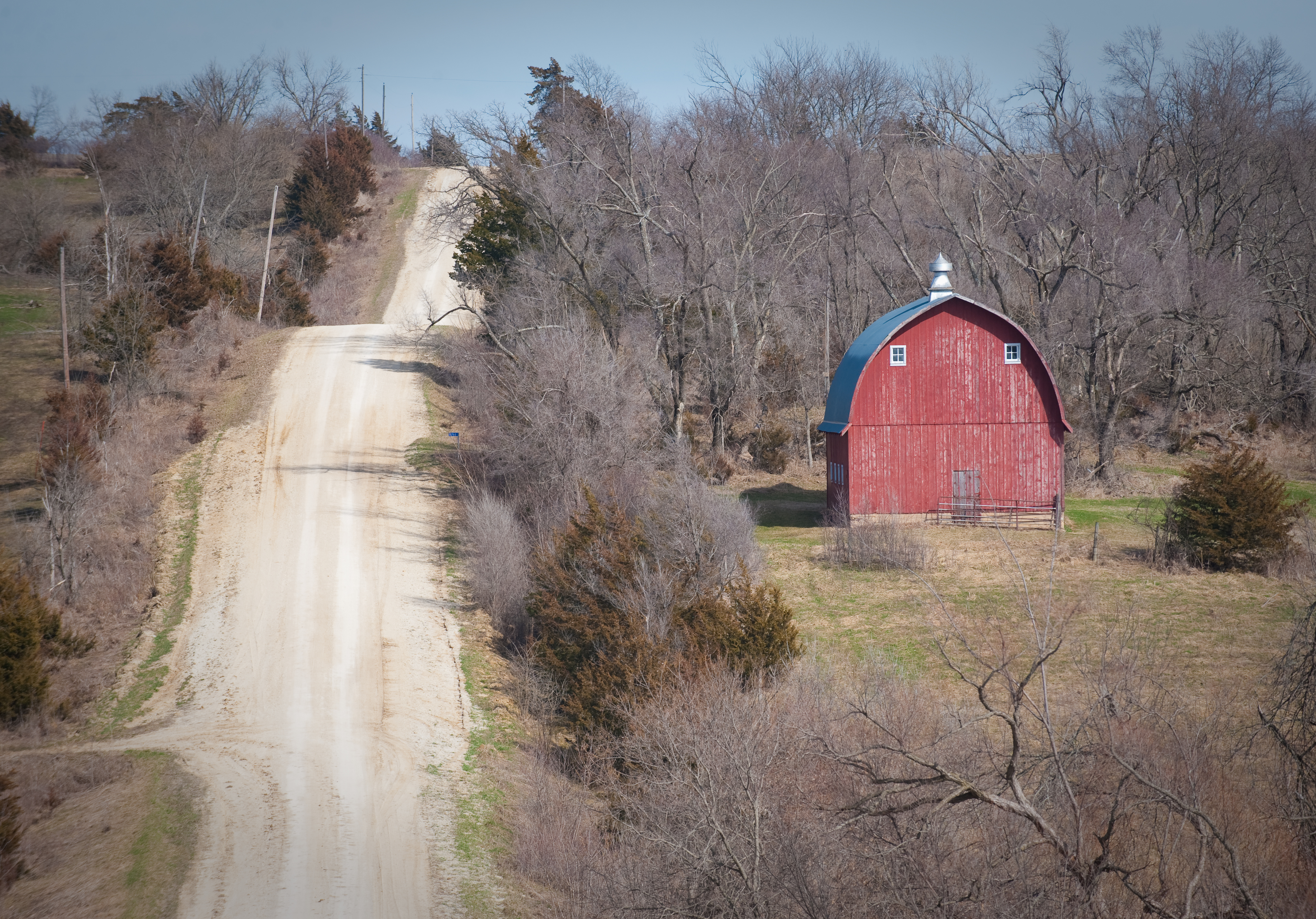
Scenic Barn
Topographic Map of Jackson, IA, USA
Find elevation by address:

Places in Jackson, IA, USA:
Places near Jackson, IA, USA:
Woodburn
Sherman St, Humeston, IA, USA
th Ave, Woodburn, IA, USA
Liberty
Morman Trail, Humeston, IA, USA
Franklin
Osceola
Jackson
24832 Us-69
Front St, Lucas, IA, USA
Lucas
th St, Lucas, IA, USA
Fremont
Pacific St, New Virginia, IA, USA
1071 Harken Hills Dr
Otter Creek
Squaw
S Main St, Osceola, IA, USA
Osceola
1000 Jeffreys Dr
Recent Searches:
- Elevation of Elwyn Dr, Roanoke Rapids, NC, USA
- Elevation of Congressional Dr, Stevensville, MD, USA
- Elevation of Bellview Rd, McLean, VA, USA
- Elevation of Stage Island Rd, Chatham, MA, USA
- Elevation of Shibuya Scramble Crossing, 21 Udagawacho, Shibuya City, Tokyo -, Japan
- Elevation of Jadagoniai, Kaunas District Municipality, Lithuania
- Elevation of Pagonija rock, Kranto 7-oji g. 8"N, Kaunas, Lithuania
- Elevation of Co Rd 87, Jamestown, CO, USA
- Elevation of Tenjo, Cundinamarca, Colombia
- Elevation of Côte-des-Neiges, Montreal, QC H4A 3J6, Canada