Elevation of Otter Creek, IA, USA
Location: United States > Iowa > Lucas County >
Longitude: -93.480134
Latitude: 41.1279749
Elevation: 311m / 1020feet
Barometric Pressure: 98KPa
Elevation Map:
Satellite Map:
Related Photos:
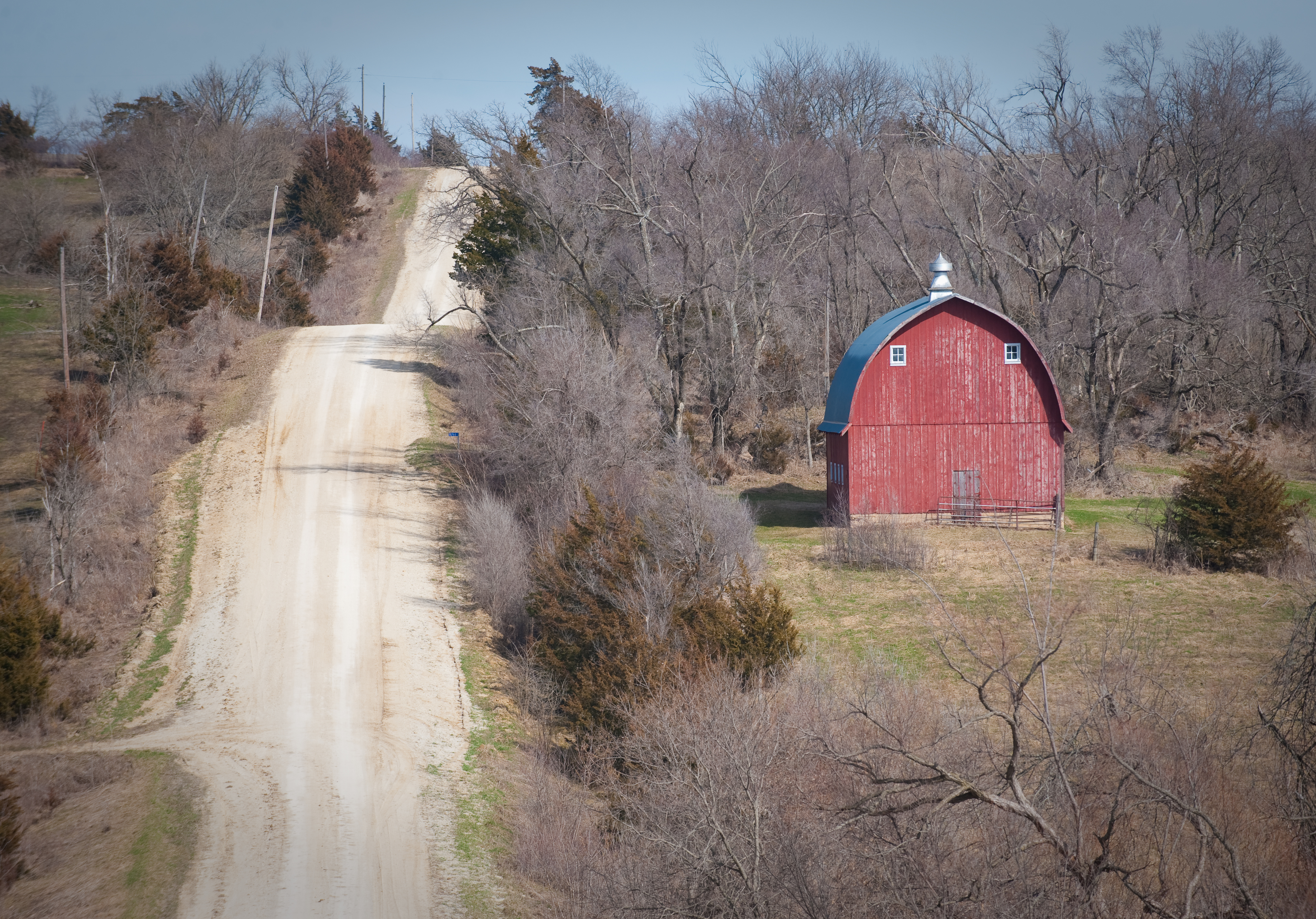
Scenic Barn

Compass Plant

Hidden Pond

Silver-spotted Skipper

1993.23.294

Lucas Iowa, Lucas County IA

Lucas Iowa, Lucas County IA

RI038162.JPG

RI038161.JPG

RI038160.JPG

RI038159.JPG

RI038158.JPG

RI038157.JPG

Max's Crap...

Stephens State Forest path

Stephens State Forest path

Hidden Pond

Wooded Path

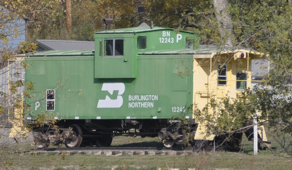
Lucas County Rails

Country cruisin

Gray Car Team

1995.50.7
Lucas, Iowa

Good morning to my daughter from 150 mi away
Topographic Map of Otter Creek, IA, USA
Find elevation by address:

Places in Otter Creek, IA, USA:
Places near Otter Creek, IA, USA:
th St, Lucas, IA, USA
Jackson
Front St, Lucas, IA, USA
Lucas
th Ave, Woodburn, IA, USA
Lacona
White Breast
Lacona, IA, USA
Liberty
th Ave, Indianola, IA, USA
Whitebreast
Squaw
Jackson
th Ln, Chariton, IA, USA
24832 Us-69
Sherman St, Humeston, IA, USA
Woodburn
Belmont St, Milo, IA, USA
Milo
Warren County
Recent Searches:
- Elevation of Congressional Dr, Stevensville, MD, USA
- Elevation of Bellview Rd, McLean, VA, USA
- Elevation of Stage Island Rd, Chatham, MA, USA
- Elevation of Shibuya Scramble Crossing, 21 Udagawacho, Shibuya City, Tokyo -, Japan
- Elevation of Jadagoniai, Kaunas District Municipality, Lithuania
- Elevation of Pagonija rock, Kranto 7-oji g. 8"N, Kaunas, Lithuania
- Elevation of Co Rd 87, Jamestown, CO, USA
- Elevation of Tenjo, Cundinamarca, Colombia
- Elevation of Côte-des-Neiges, Montreal, QC H4A 3J6, Canada
- Elevation of Bobcat Dr, Helena, MT, USA