Elevation of Whitebreast, IA, USA
Location: United States > Iowa > Lucas County >
Longitude: -93.379205
Latitude: 41.0303353
Elevation: 317m / 1040feet
Barometric Pressure: 98KPa
Elevation Map:
Satellite Map:
Related Photos:
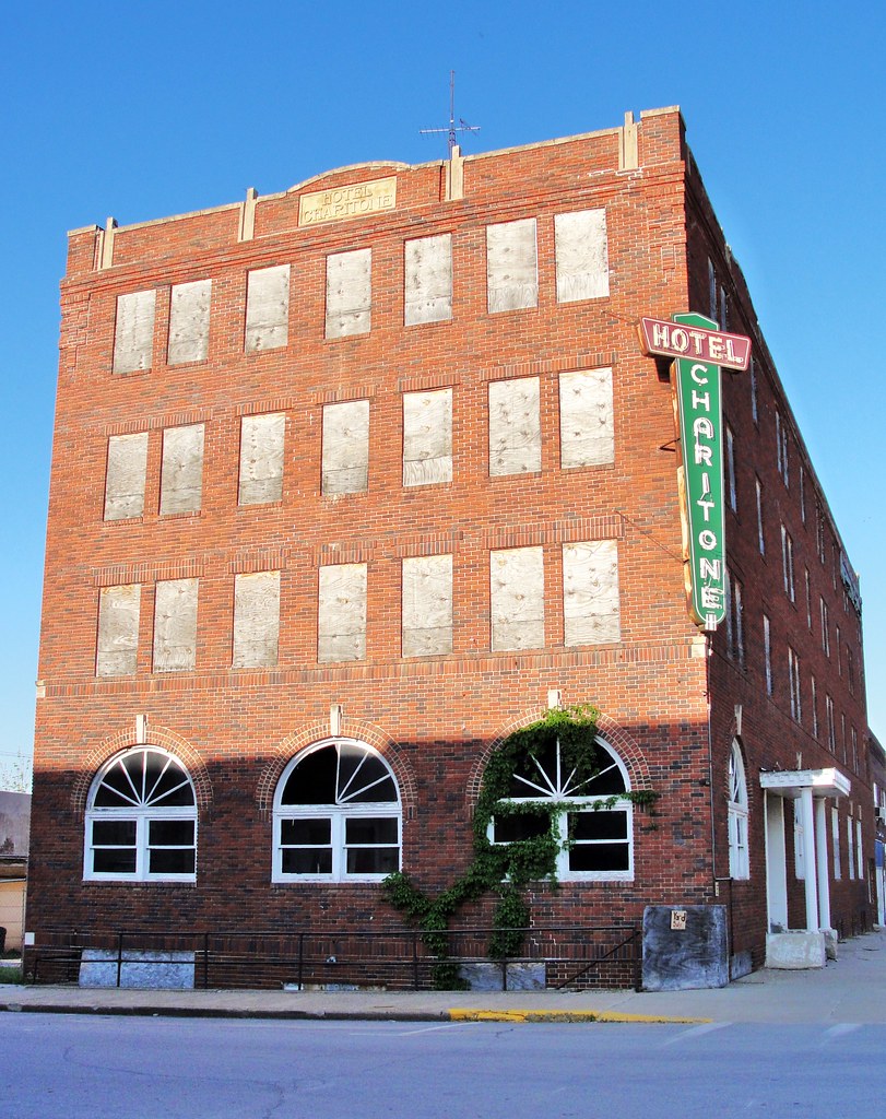
Hotel Charitone
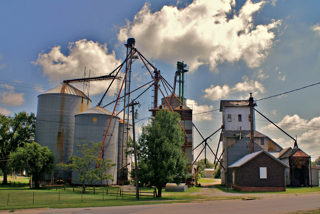
Farmer's Cooperative - 2
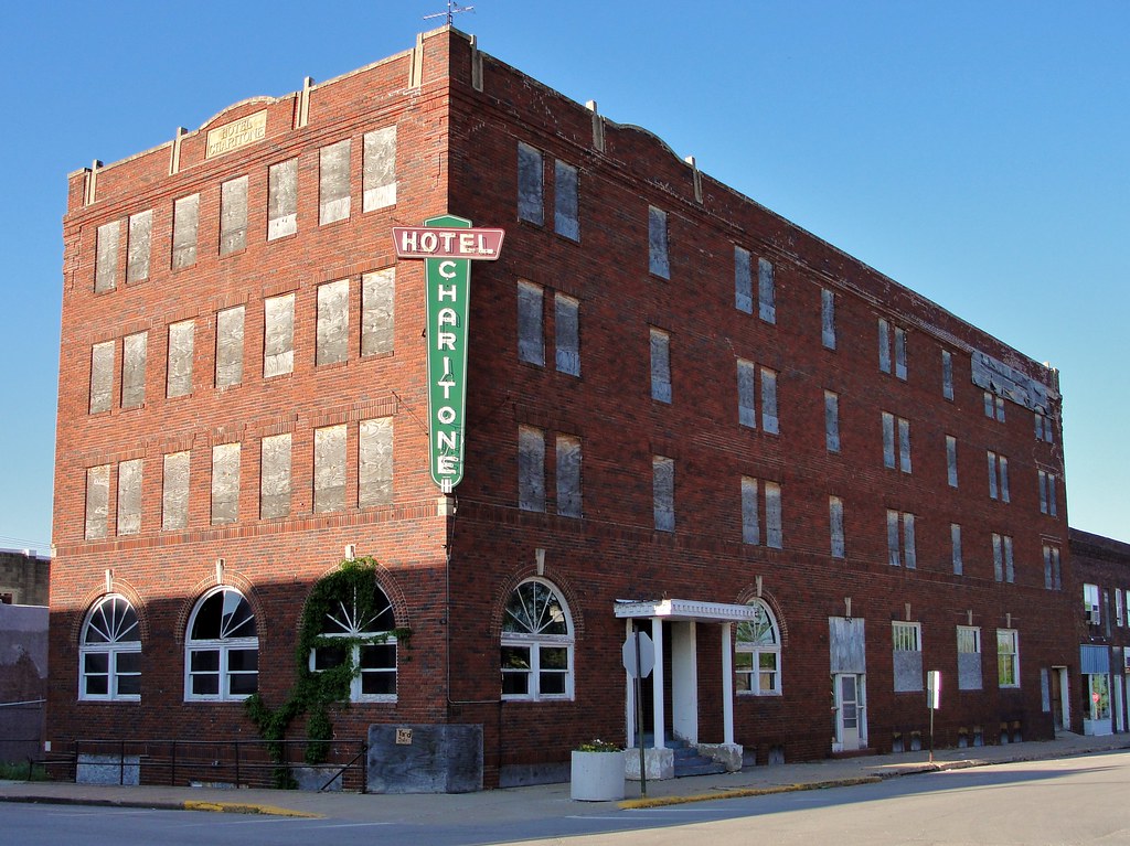
Hotel Charitone

Cinder Path Bike Trail

Hidden Pond

From the cabin deck

Compass Plant

Silver-spotted Skipper

20160522-IMG_2769.jpg

20160522-IMG_2764.jpg

20160522-IMG_2762.jpg

20160522-IMG_2741.jpg

20160522-IMG_2720.jpg

20160522-IMG_2716.jpg

Cemetery Spider

Andy and Antje

Some where's in Iowa

167th Avenue

Fixer Upper
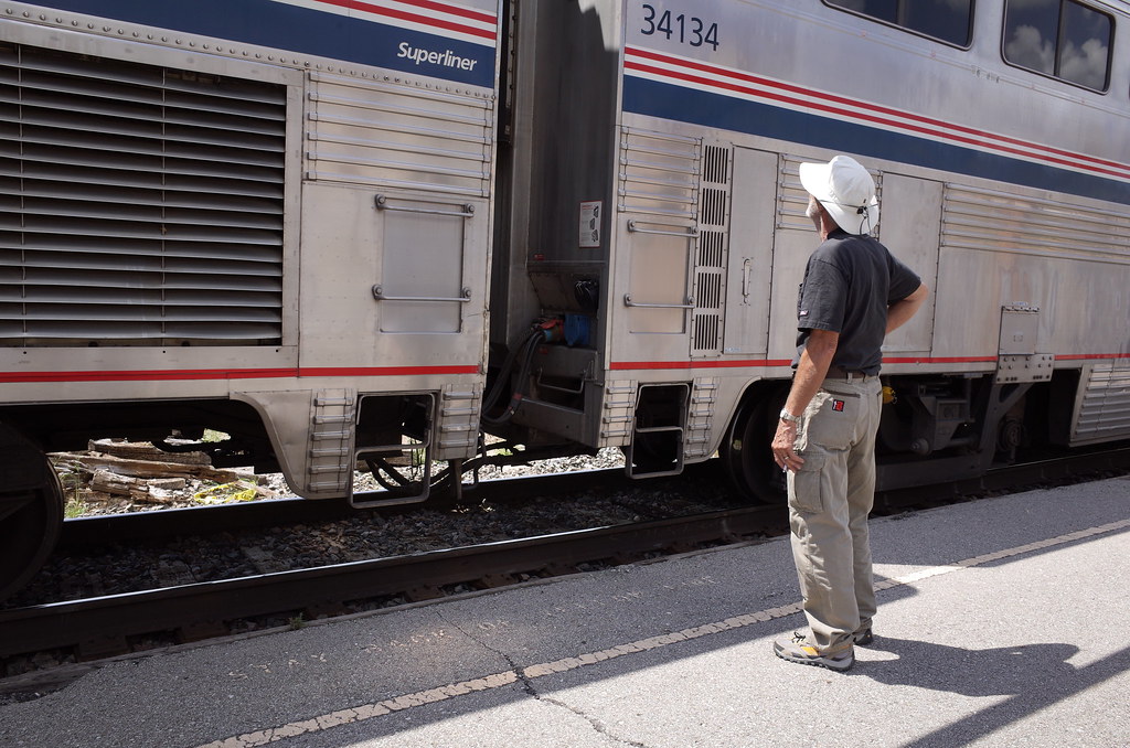
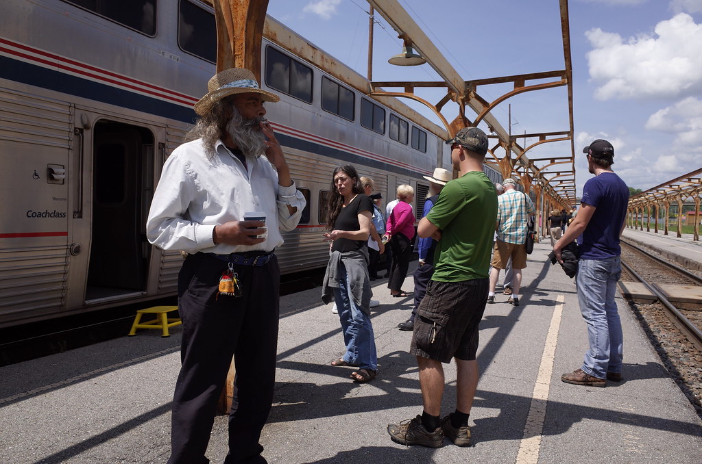
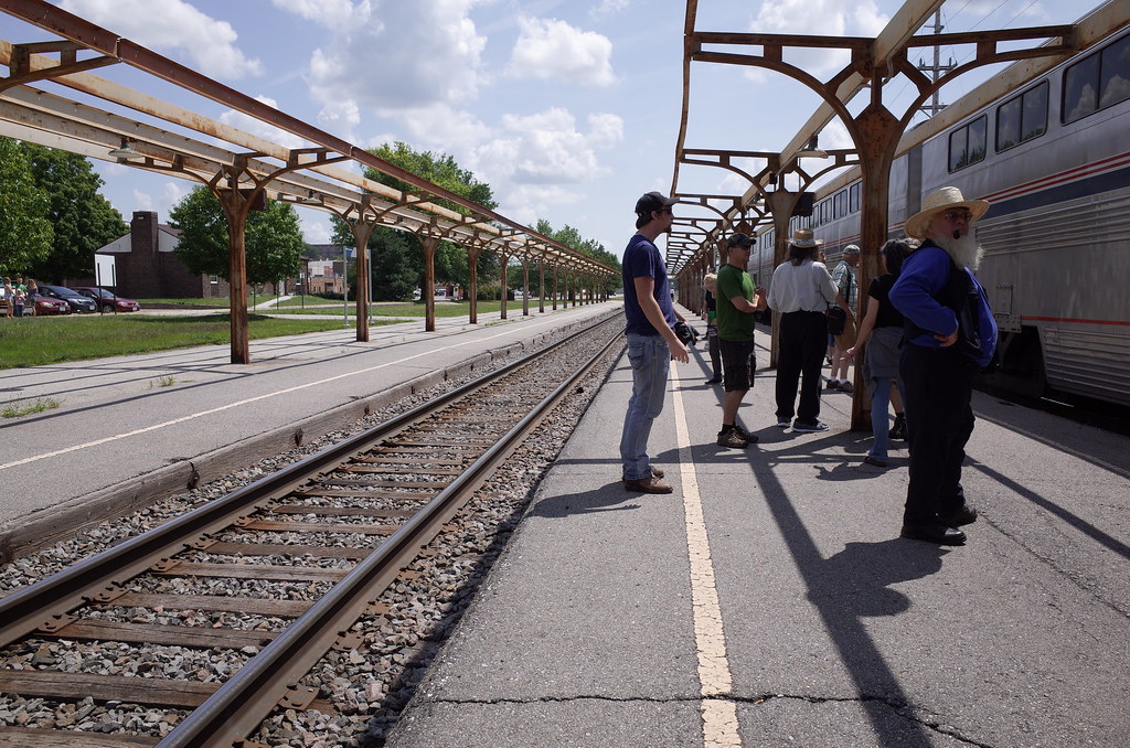
Lucas Iowa, Lucas County IA
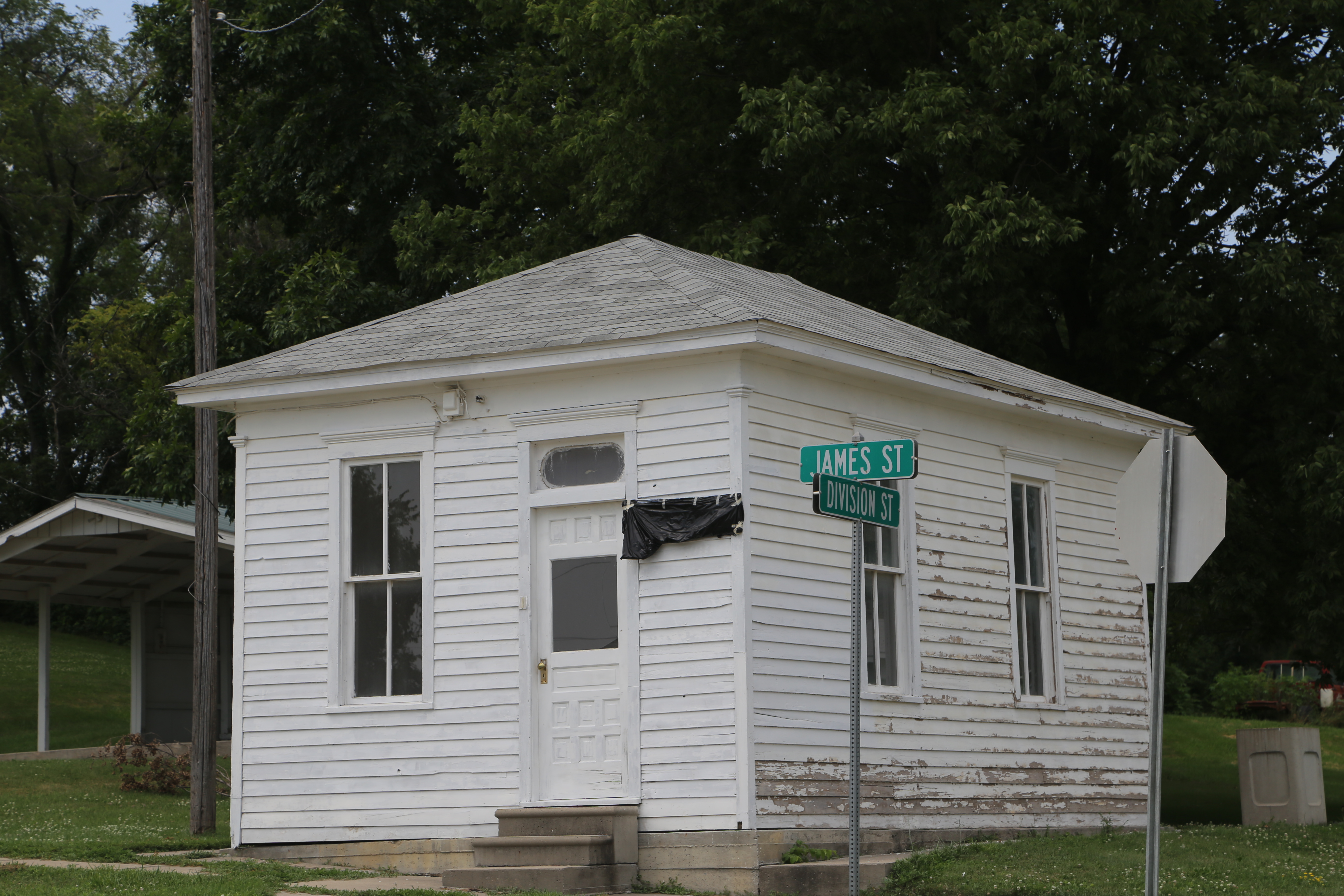
Lucas Iowa, Lucas County IA
RI038162.JPG

RI038161.JPG
RI038160.JPG
RI038159.JPG

RI038158.JPG

RI038157.JPG
RI038156.JPG
Topographic Map of Whitebreast, IA, USA
Find elevation by address:

Places near Whitebreast, IA, USA:
th Ln, Chariton, IA, USA
Lucas County
Chariton
7-29a
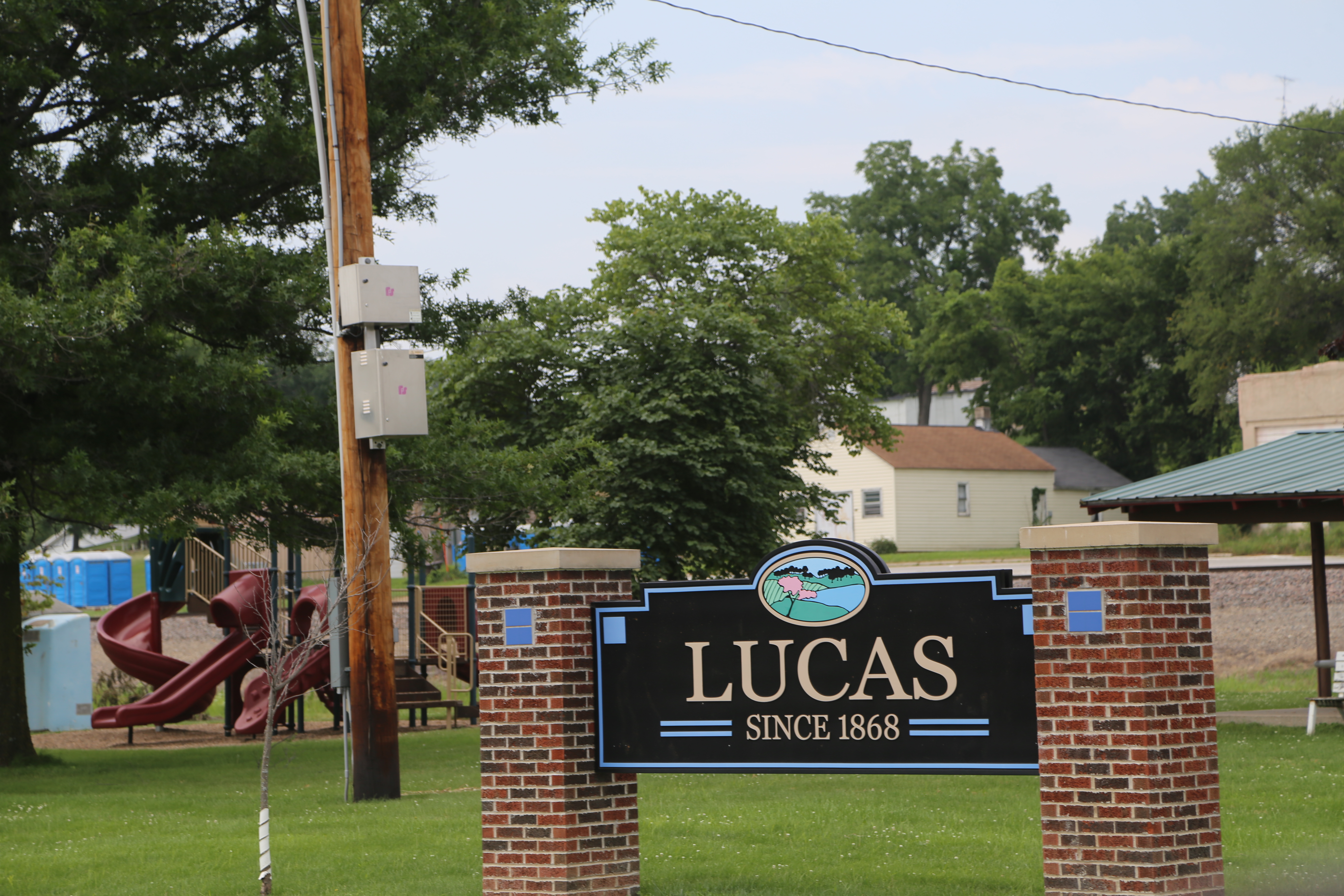
Lucas
Front St, Lucas, IA, USA
24550 Us-34
Jackson
Center St, Derby, IA, USA
th St, Lucas, IA, USA
Otter Creek
Lacona
Lacona, IA, USA
White Breast
Morman Trail, Humeston, IA, USA
Wyoming St, Chariton, IA, USA
Union
Humeston
Broad St, Humeston, IA, USA
Dallas
Recent Searches:
- Elevation of Congressional Dr, Stevensville, MD, USA
- Elevation of Bellview Rd, McLean, VA, USA
- Elevation of Stage Island Rd, Chatham, MA, USA
- Elevation of Shibuya Scramble Crossing, 21 Udagawacho, Shibuya City, Tokyo -, Japan
- Elevation of Jadagoniai, Kaunas District Municipality, Lithuania
- Elevation of Pagonija rock, Kranto 7-oji g. 8"N, Kaunas, Lithuania
- Elevation of Co Rd 87, Jamestown, CO, USA
- Elevation of Tenjo, Cundinamarca, Colombia
- Elevation of Côte-des-Neiges, Montreal, QC H4A 3J6, Canada
- Elevation of Bobcat Dr, Helena, MT, USA