Elevation of Center St, Derby, IA, USA
Location: United States > Iowa >
Longitude: -93.455774
Latitude: 40.932201
Elevation: 333m / 1093feet
Barometric Pressure: 97KPa
Elevation Map:
Satellite Map:
Related Photos:
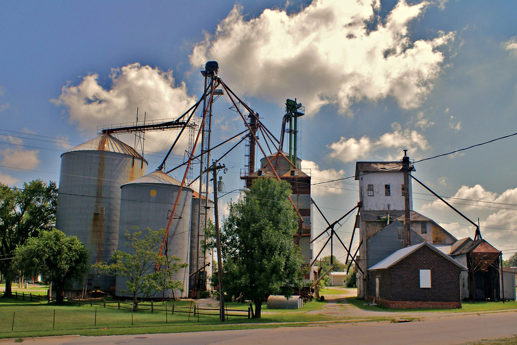
Farmer's Cooperative - 2
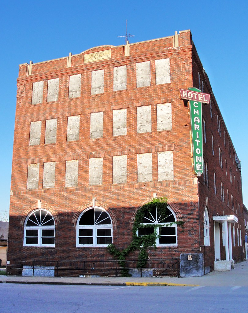
Hotel Charitone
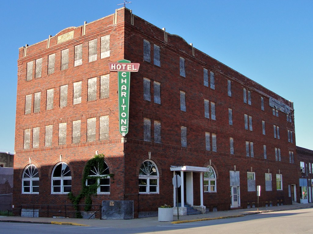
Hotel Charitone

Cinder Path Bike Trail

Hidden Pond

From the cabin deck

Silver-spotted Skipper
Lucas Iowa, Lucas County IA
Chariton Iowa, Lucas County IA

Clarke County Sunset

Clarke County Sunset

Clarke County Sunset

Clarke County Sunset

Clarke County Sunset

Cemetery Spider

Gwinn Cemetery
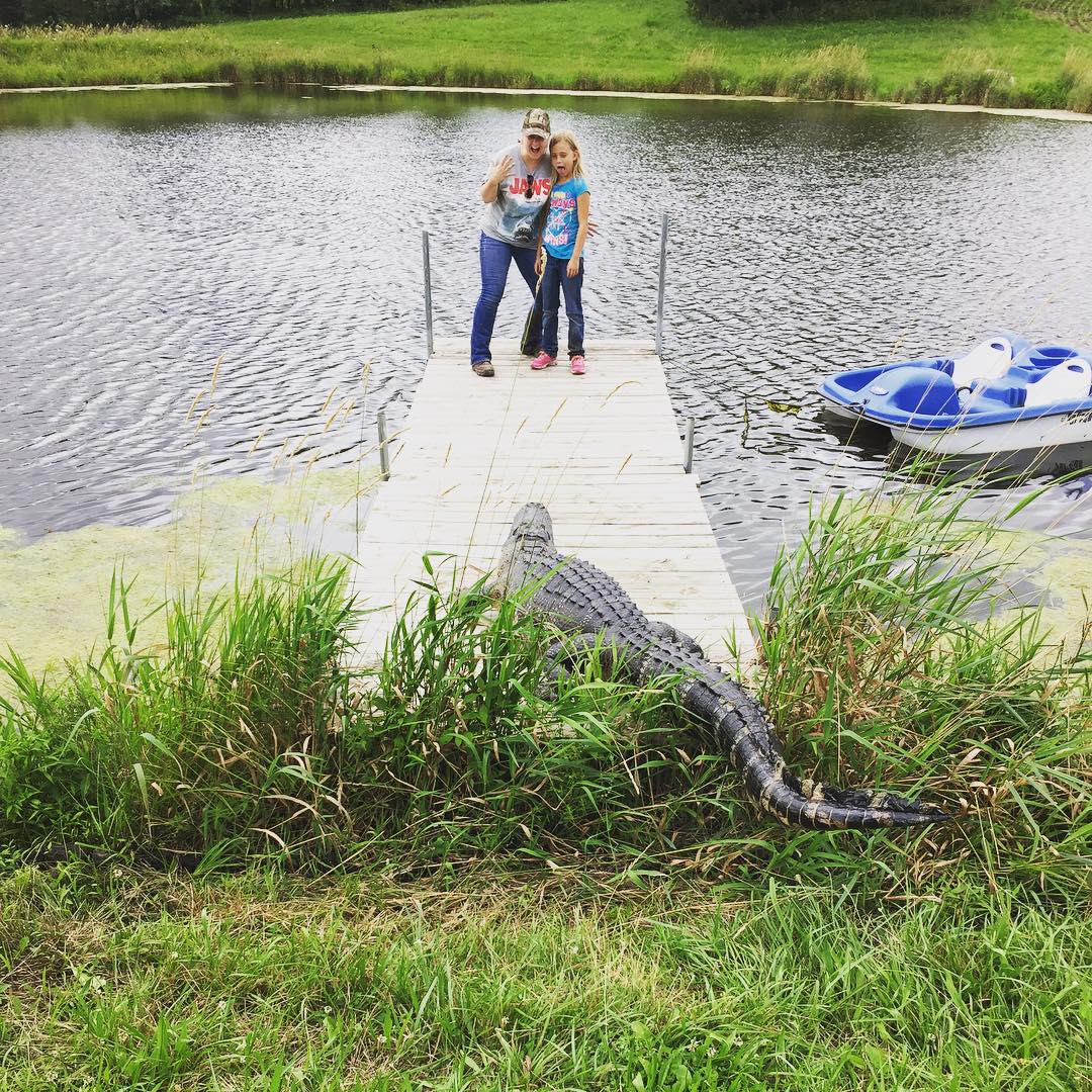
Gators are loose in Iowa!! #iowawildlife #nature #fishing

#fishing #iowawildlife
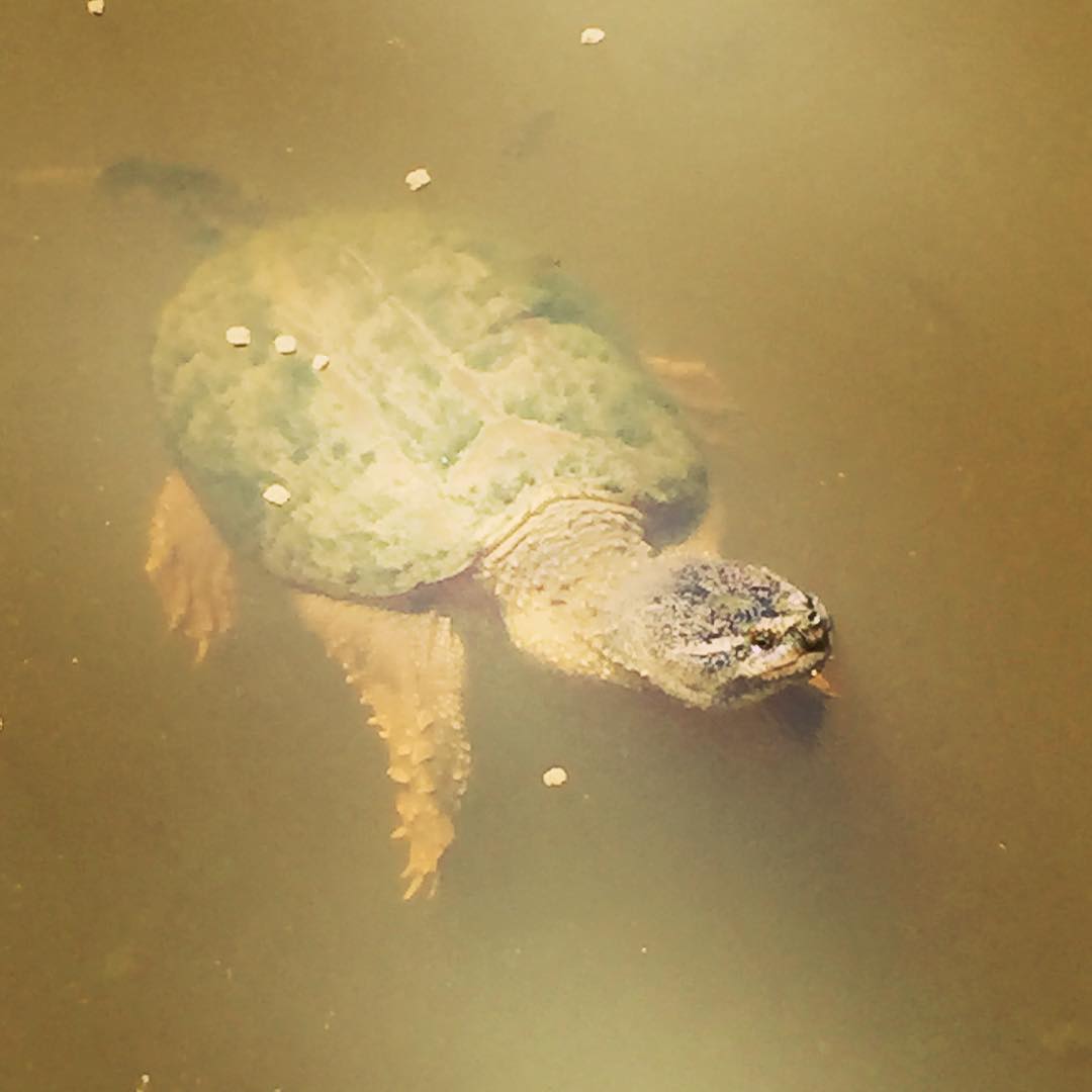
Charlie the Snapper #iowawildlife

Lucas County Sunset

Andy and Antje
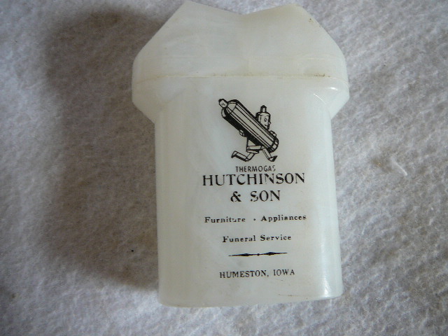
Hutchinson & Son Furniture, Appliances and Funeral Service - Humeston, Iowa salt & pepper shaker advertisement

167th Avenue

GoPro Lightning

20140830-IMG_3877 HDR.jpg
Lucas Iowa, Lucas County IA
RI038162.JPG
Topographic Map of Center St, Derby, IA, USA
Find elevation by address:

Places near Center St, Derby, IA, USA:
Humeston
Broad St, Humeston, IA, USA
Richman
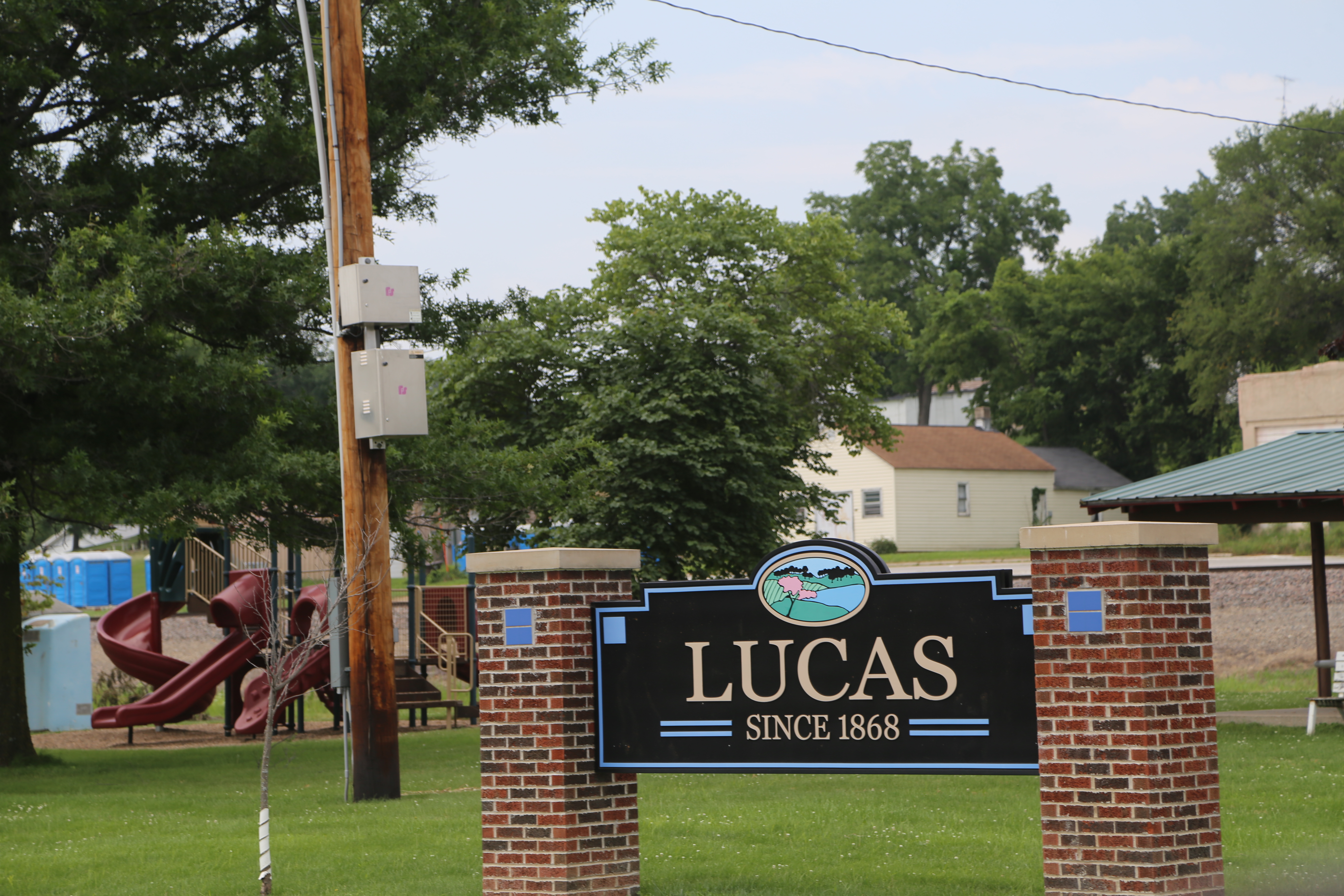
Lucas
Front St, Lucas, IA, USA
Morman Trail, Humeston, IA, USA
Jackson
Whitebreast
Lucas County
th Ln, Chariton, IA, USA
Sherman St, Humeston, IA, USA
Woodburn
Franklin
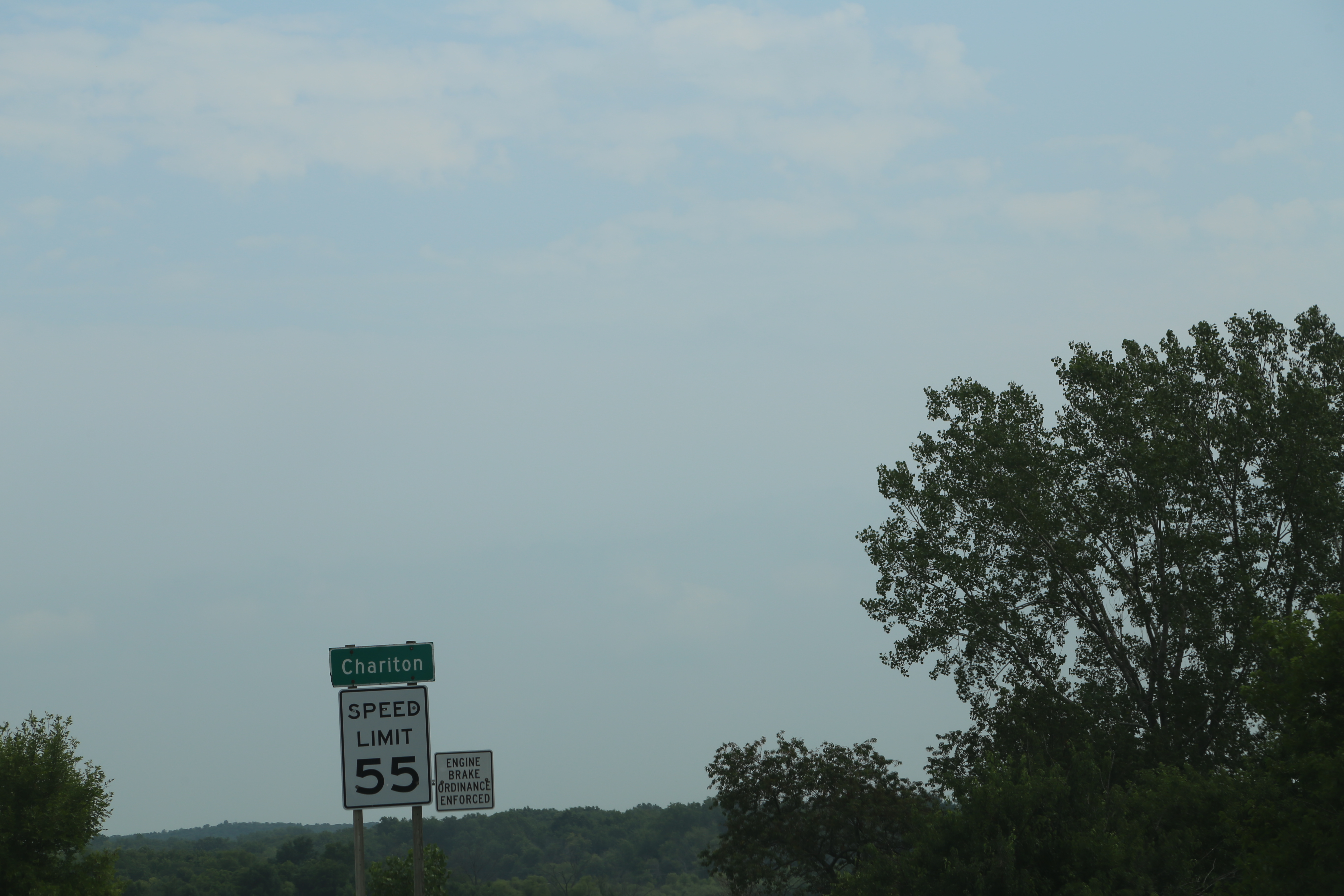
Chariton
7-29a
Jackson
th St, Lucas, IA, USA
24550 Us-34
Union
Otter Creek
Recent Searches:
- Elevation of Corso Fratelli Cairoli, 35, Macerata MC, Italy
- Elevation of Tallevast Rd, Sarasota, FL, USA
- Elevation of 4th St E, Sonoma, CA, USA
- Elevation of Black Hollow Rd, Pennsdale, PA, USA
- Elevation of Oakland Ave, Williamsport, PA, USA
- Elevation of Pedrógão Grande, Portugal
- Elevation of Klee Dr, Martinsburg, WV, USA
- Elevation of Via Roma, Pieranica CR, Italy
- Elevation of Tavkvetili Mountain, Georgia
- Elevation of Hartfords Bluff Cir, Mt Pleasant, SC, USA