Elevation of Richman, IA, USA
Location: United States > Iowa > Wayne County >
Longitude: -93.480134
Latitude: 40.8457465
Elevation: 335m / 1099feet
Barometric Pressure: 97KPa
Elevation Map:
Satellite Map:
Related Photos:

Cinder Path Bike Trail

Friday Night Lights

From the cabin deck
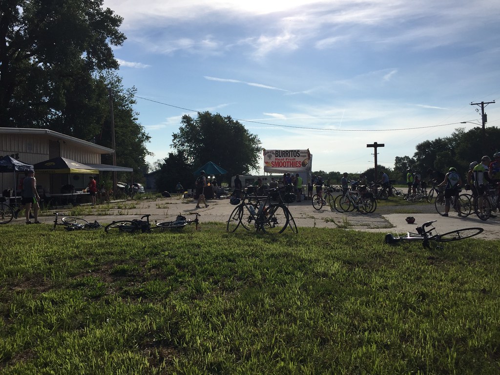
RAGBRAI 2016

RAGBRAI 2016

RAGBRAI 2016

RAGBRAI 2016

RAGBRAI 2016

RAGBRAI 2016

RAGBRAI 2016

RAGBRAI 2016

RAGBRAI 2016

RAGBRAI 2016

RAGBRAI 2016
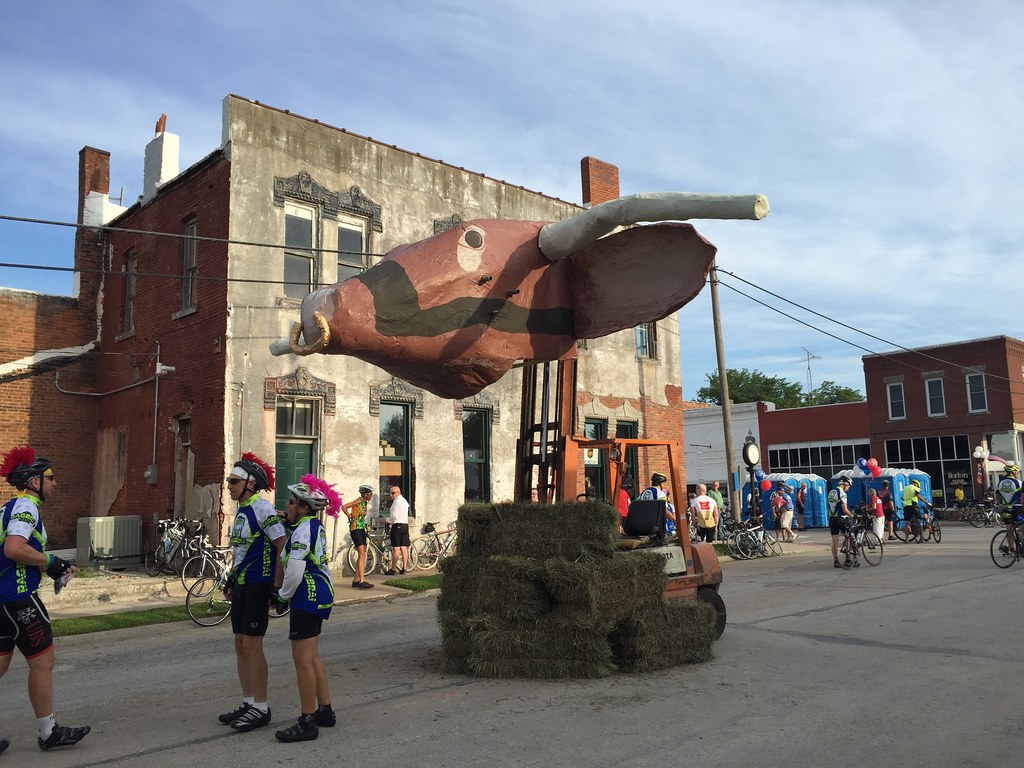
RAGBRAI 2016

RAGBRAI 2016

20160522-IMG_2769.jpg

20160522-IMG_2764.jpg

20160522-IMG_2762.jpg

20160522-IMG_2741.jpg

20160522-IMG_2720.jpg

20160522-IMG_2716.jpg

Clarke County Sunset

Clarke County Sunset
Topographic Map of Richman, IA, USA
Find elevation by address:

Places in Richman, IA, USA:
Places near Richman, IA, USA:
Humeston
Broad St, Humeston, IA, USA
Center St, Derby, IA, USA
Morman Trail, Humeston, IA, USA
Franklin
Lucas
Front St, Lucas, IA, USA
Jackson
Union
Lucas County
Sherman St, Humeston, IA, USA
Woodburn
Whitebreast
th Ln, Chariton, IA, USA
Jackson
Chariton
7-29a
24550 Us-34
Co Rd J22, Promise City, IA, USA
10611 240th Ave
Recent Searches:
- Elevation of Congressional Dr, Stevensville, MD, USA
- Elevation of Bellview Rd, McLean, VA, USA
- Elevation of Stage Island Rd, Chatham, MA, USA
- Elevation of Shibuya Scramble Crossing, 21 Udagawacho, Shibuya City, Tokyo -, Japan
- Elevation of Jadagoniai, Kaunas District Municipality, Lithuania
- Elevation of Pagonija rock, Kranto 7-oji g. 8"N, Kaunas, Lithuania
- Elevation of Co Rd 87, Jamestown, CO, USA
- Elevation of Tenjo, Cundinamarca, Colombia
- Elevation of Côte-des-Neiges, Montreal, QC H4A 3J6, Canada
- Elevation of Bobcat Dr, Helena, MT, USA