Elevation map of Washington County, ME, USA
Location: United States > Maine >
Longitude: -67.677683
Latitude: 44.9849315
Elevation: 125m / 410feet
Barometric Pressure: 100KPa
Elevation Map:
Satellite Map:
Related Photos:

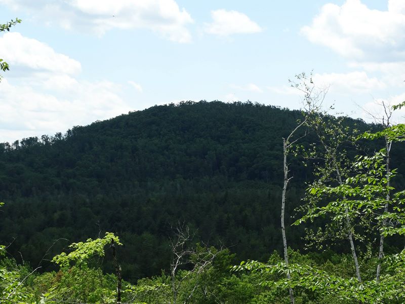
Airline Pines
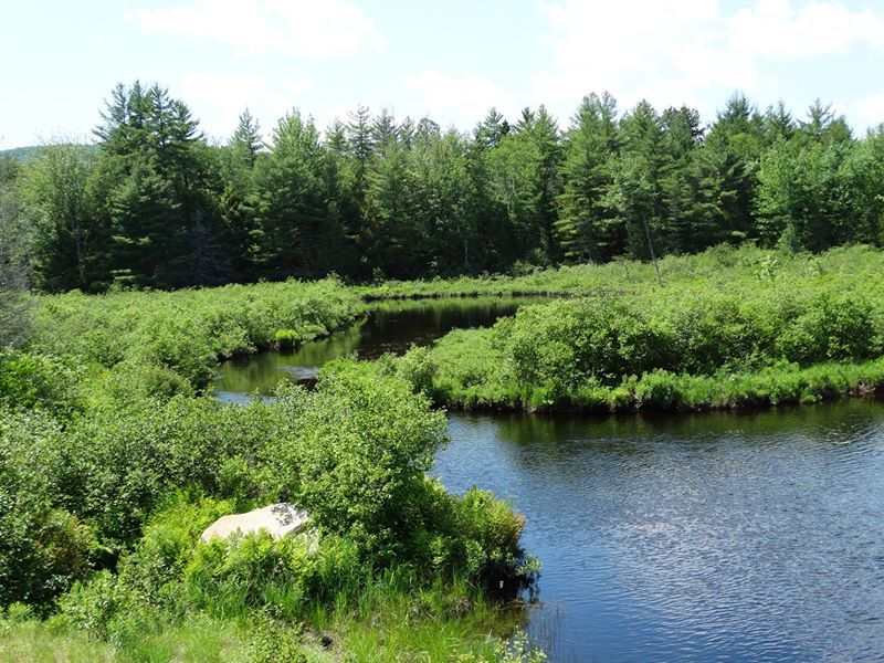
East Machias River
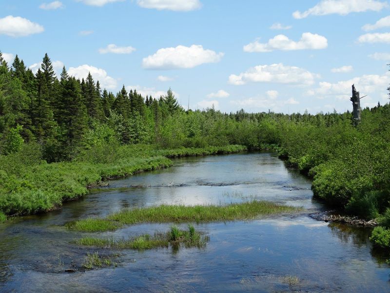
West Branch of the Machias River at the Machias River Road

2013-10-06 at 21-41-05
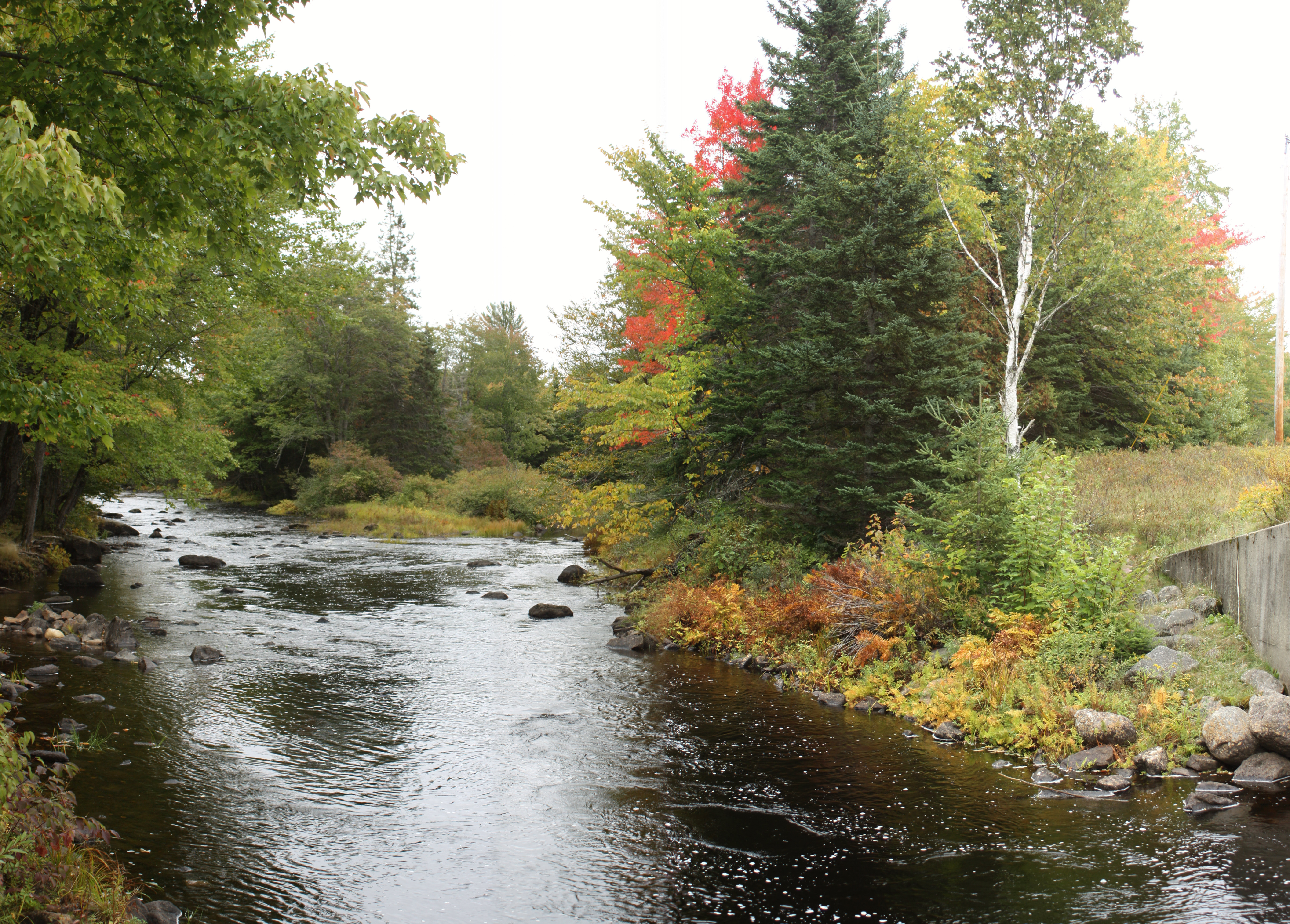
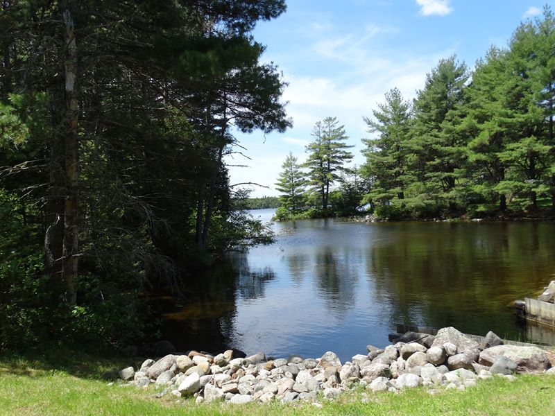
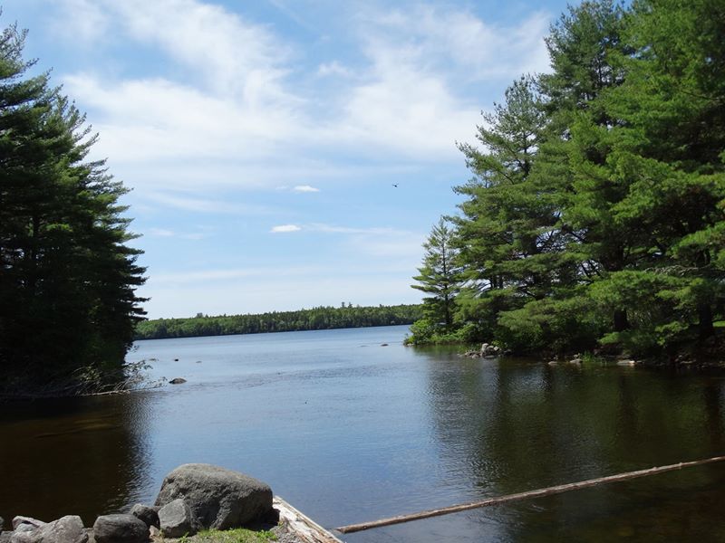
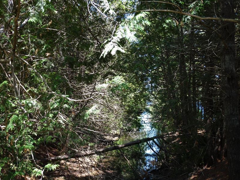
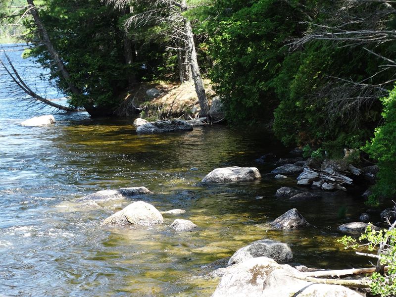
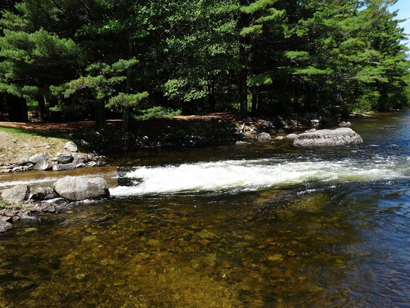
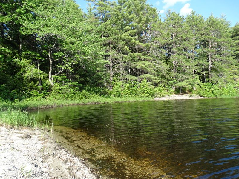
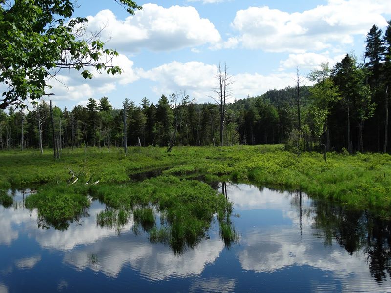
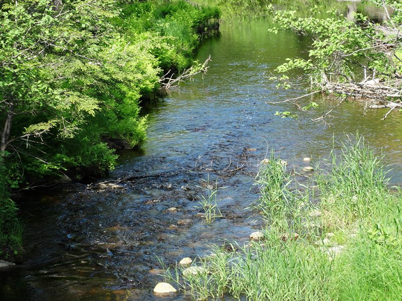
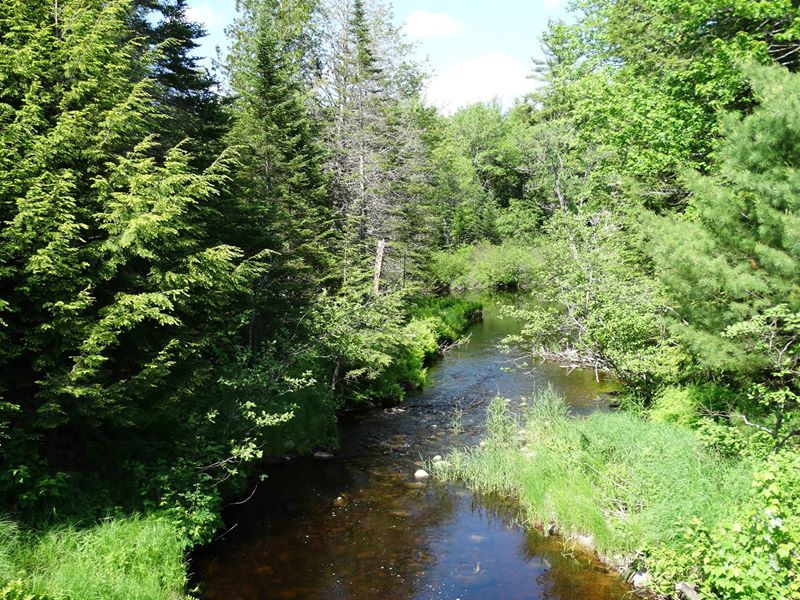
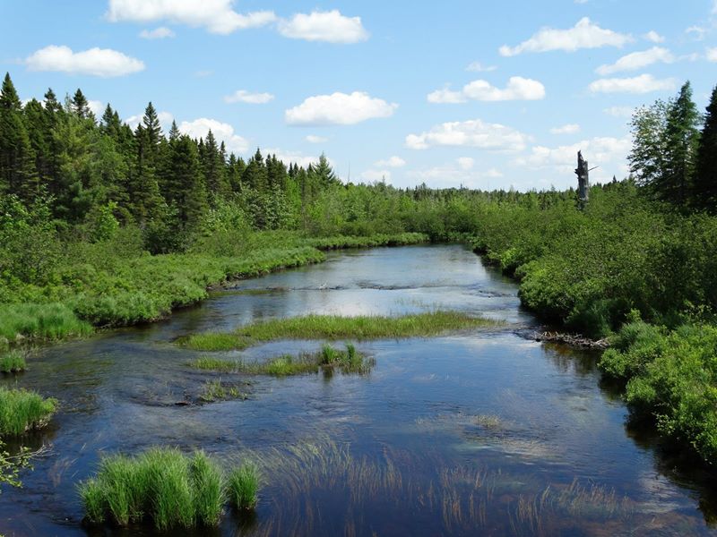
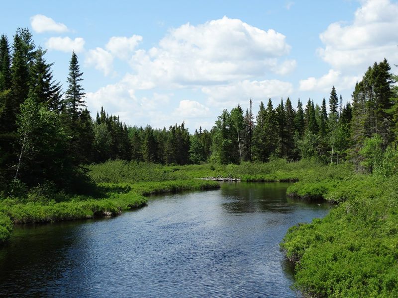
West Branch of the Machias River at the Machias River Road
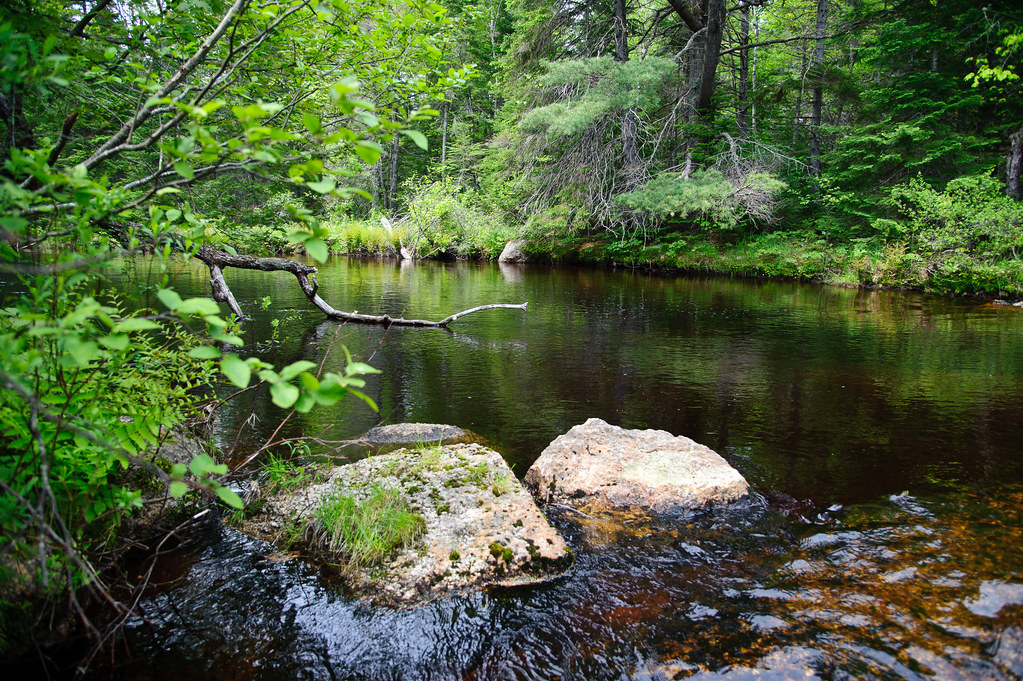
West Branch of the Machias River at the Machias River Road

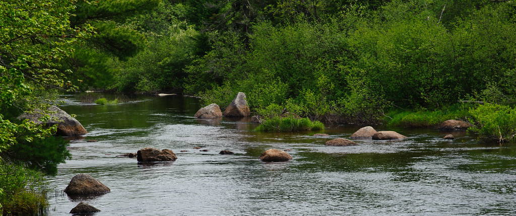
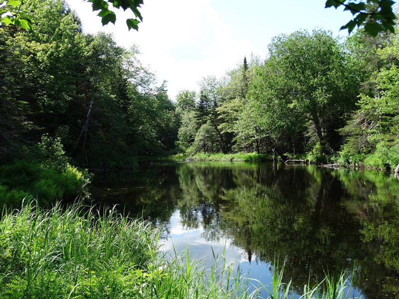
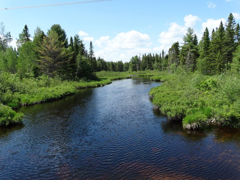
West Branch of the Machias River at the Machias River Road

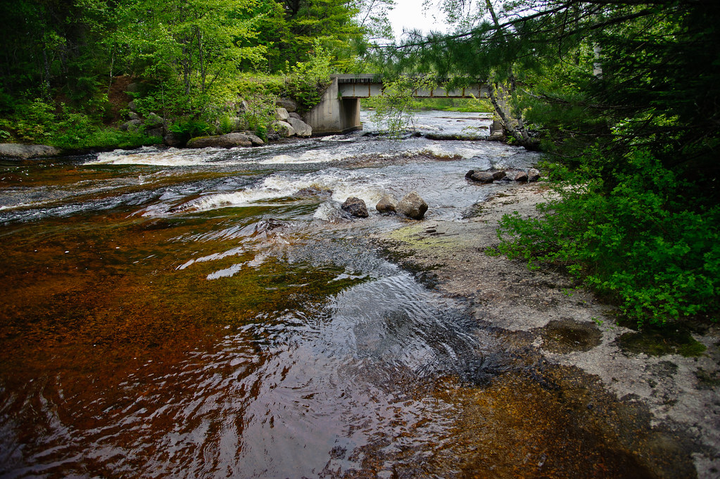
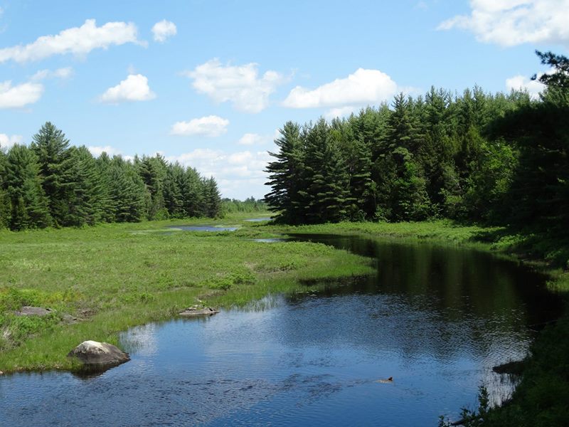
West Branch of the Machias River at the Machias River Road

10152809506576574
10152809503731574
10152809501451574

10152809501111574
10152809500031574
10152809499906574
10152809498686574

10152809498406574
10152809491516574
10152809490941574
10152809490581574
10152809490356574
10152809489726574

10152809488881574
10152809488736574
10152809488506574
10152809488301574
10152809488176574
10152809487596574
10152809487061574
10152809486786574
Topographic Map of Washington County, ME, USA
Find elevation by address:

Places in Washington County, ME, USA:
Lubec
Machiasport
Machias
Jonesport
Cutler
Pembroke
Steuben
East Central Washington
Harrington
East Machias
Beddington
Cooper
Marshfield
Roque Bluffs
Addison
Calais
Danforth
Milbridge
Grand Lake Stream
Eastport
Alexander
Cherryfield
Beddington Rd, Deblois, ME, USA
36 Cooper Hwy, Cooper, ME, USA
Cutler Rd, Whiting, ME, USA
Houlton Rd, Brookton, ME, USA
Crawford
North Washington
Vanceboro
Robbinston
Wesley
Deblois
Whiting
Perry
Baileyville
Indian Township
Pleasant Point
Places near Washington County, ME, USA:
Wesley
Ingalls Road
Southwest Pond Road
Addison
Nepp Point Road
251 Masons Bay Rd
Lee's Auto Repair
Mason Bay Rd, Jonesport, ME, USA
Jewett Road
Marshville Rd, Harrington, ME, USA
Harrington
1116 Mason Bay Rd
Beddington
Beddington Rd, Beddington, ME, USA
Ridge Road
East Side Road
Deblois
Reef Point Road
Beddington Rd, Deblois, ME, USA
Kennedy Hwy, Harrington, ME, USA
Recent Searches:
- Elevation of Corso Fratelli Cairoli, 35, Macerata MC, Italy
- Elevation of Tallevast Rd, Sarasota, FL, USA
- Elevation of 4th St E, Sonoma, CA, USA
- Elevation of Black Hollow Rd, Pennsdale, PA, USA
- Elevation of Oakland Ave, Williamsport, PA, USA
- Elevation of Pedrógão Grande, Portugal
- Elevation of Klee Dr, Martinsburg, WV, USA
- Elevation of Via Roma, Pieranica CR, Italy
- Elevation of Tavkvetili Mountain, Georgia
- Elevation of Hartfords Bluff Cir, Mt Pleasant, SC, USA