Elevation of Cooper, ME, USA
Location: United States > Maine > Washington County >
Longitude: -67.439714
Latitude: 44.959521
Elevation: 92m / 302feet
Barometric Pressure: 100KPa
Elevation Map:
Satellite Map:
Related Photos:

Airline Pines

2013-10-06 at 21-41-05
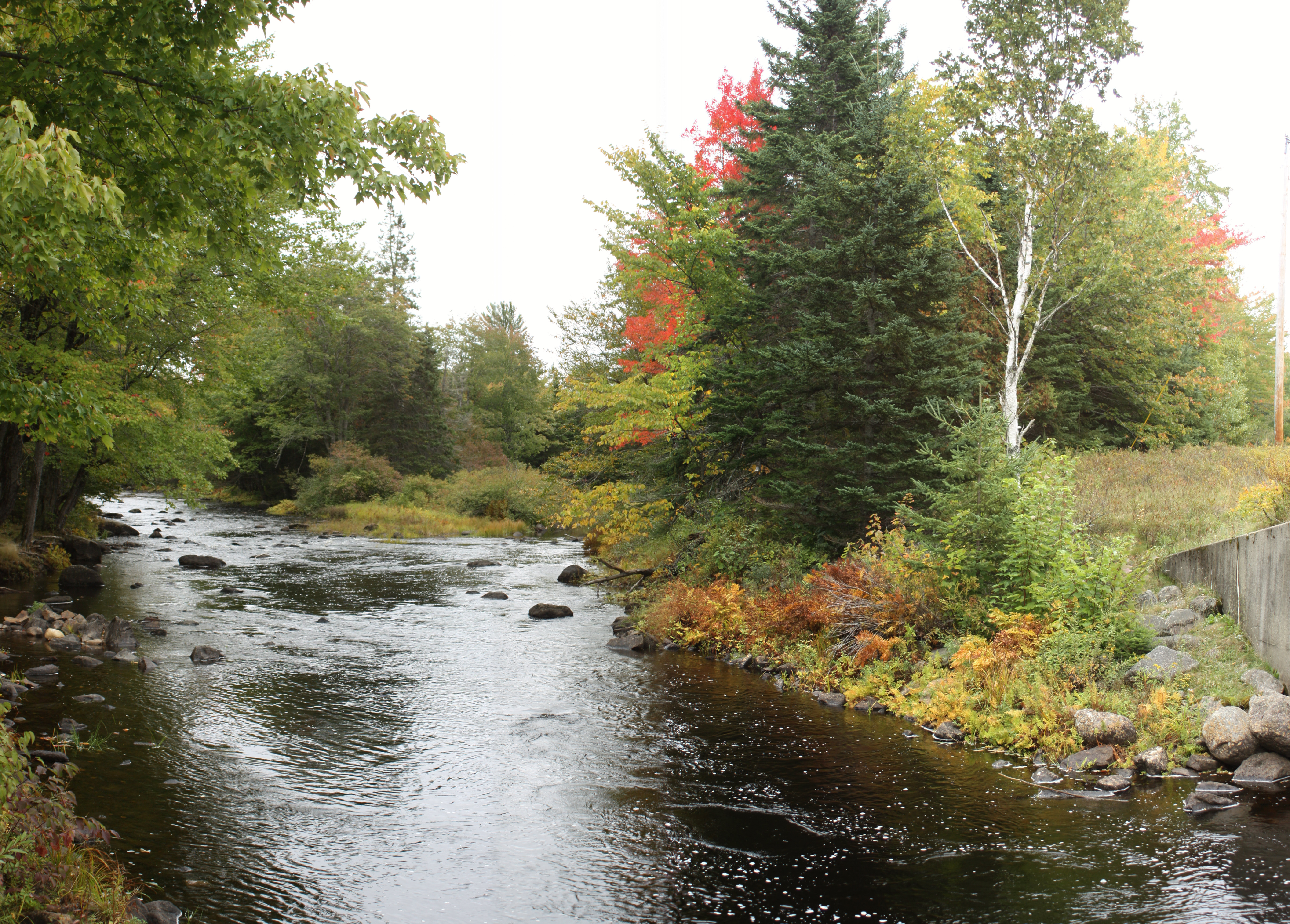
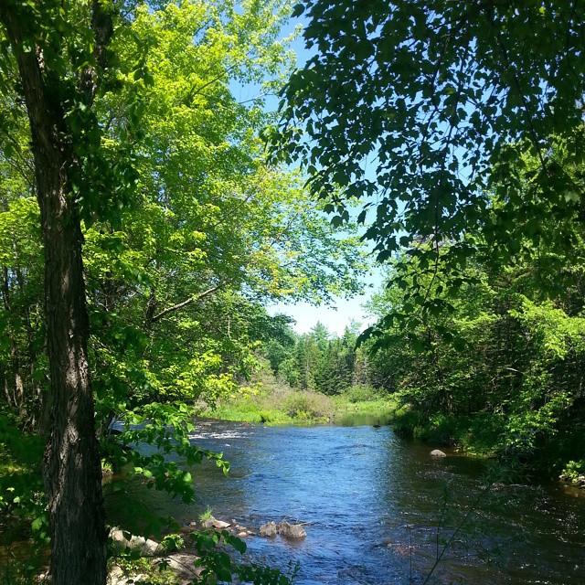
East Machias River
Potato house on 191
Most of our trip was indoors hanging with family feasting but this is the beauty outside. This is a rest stop. #nofilter #maine
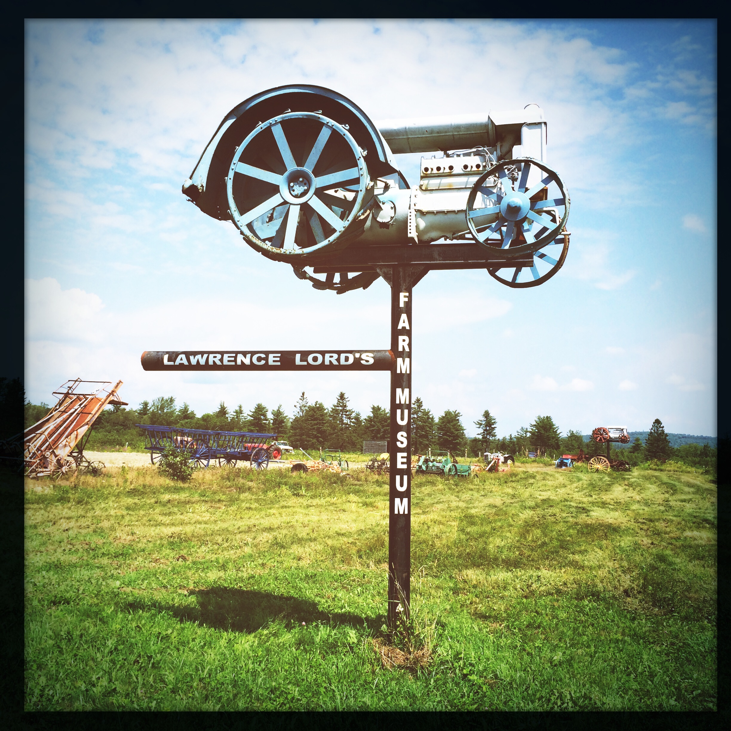
Lawrence Lord's Farm Museum
The Rake

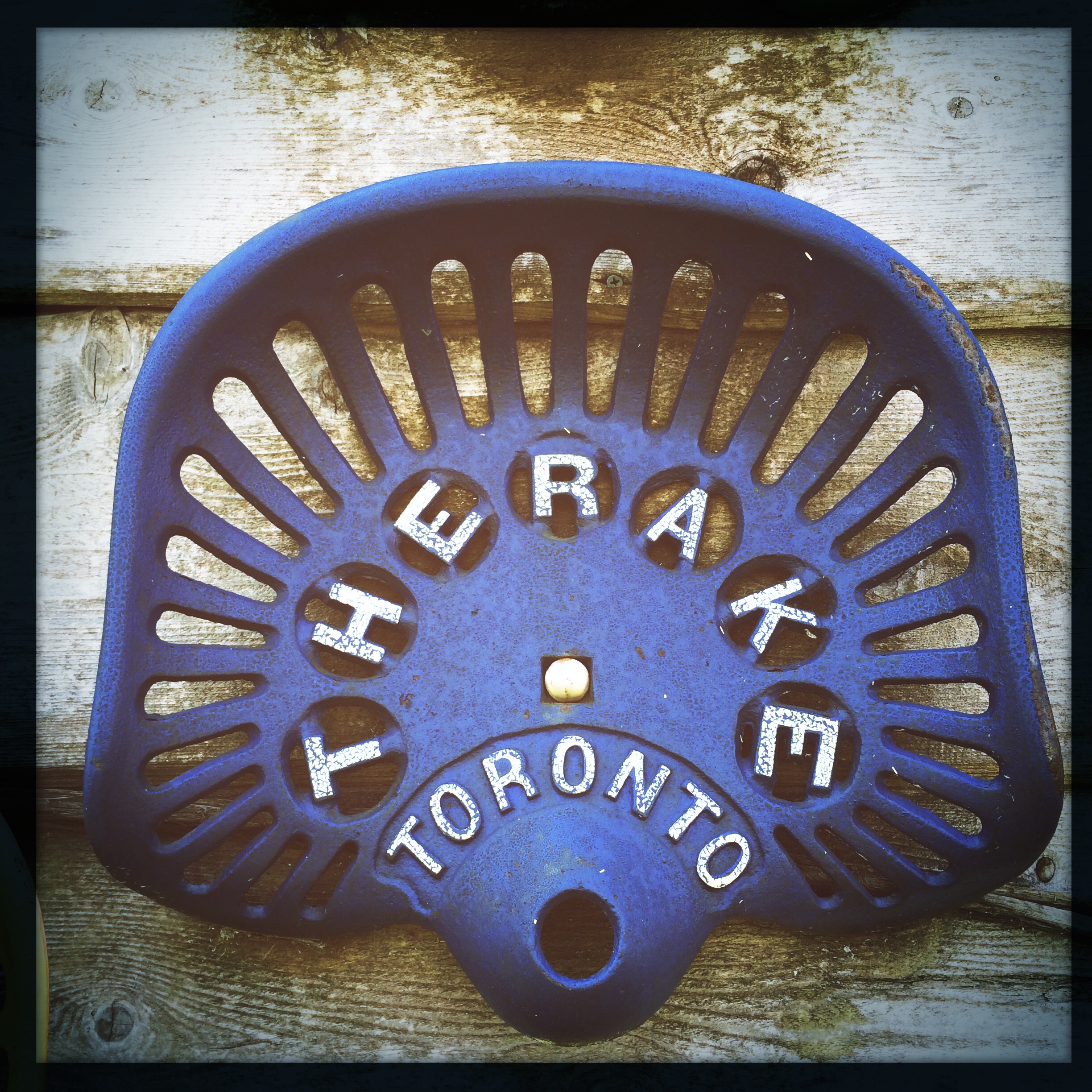
Tractor seats

Tractor seats
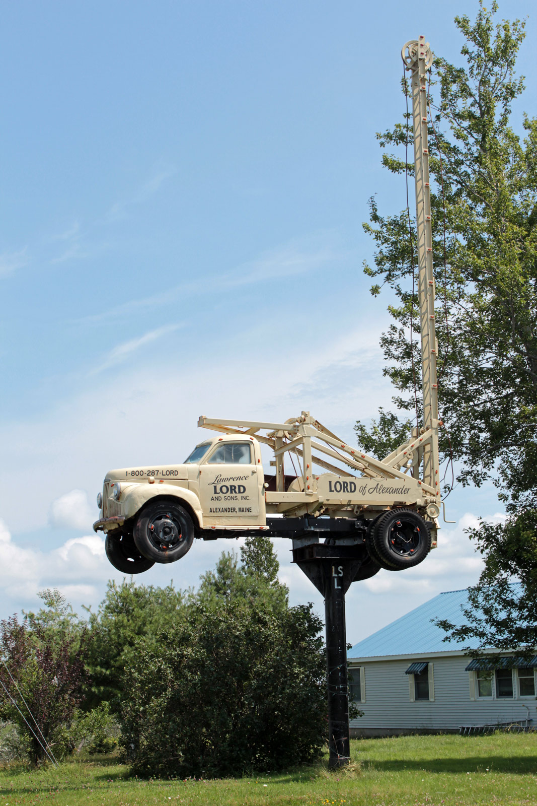
Truck on a Stick

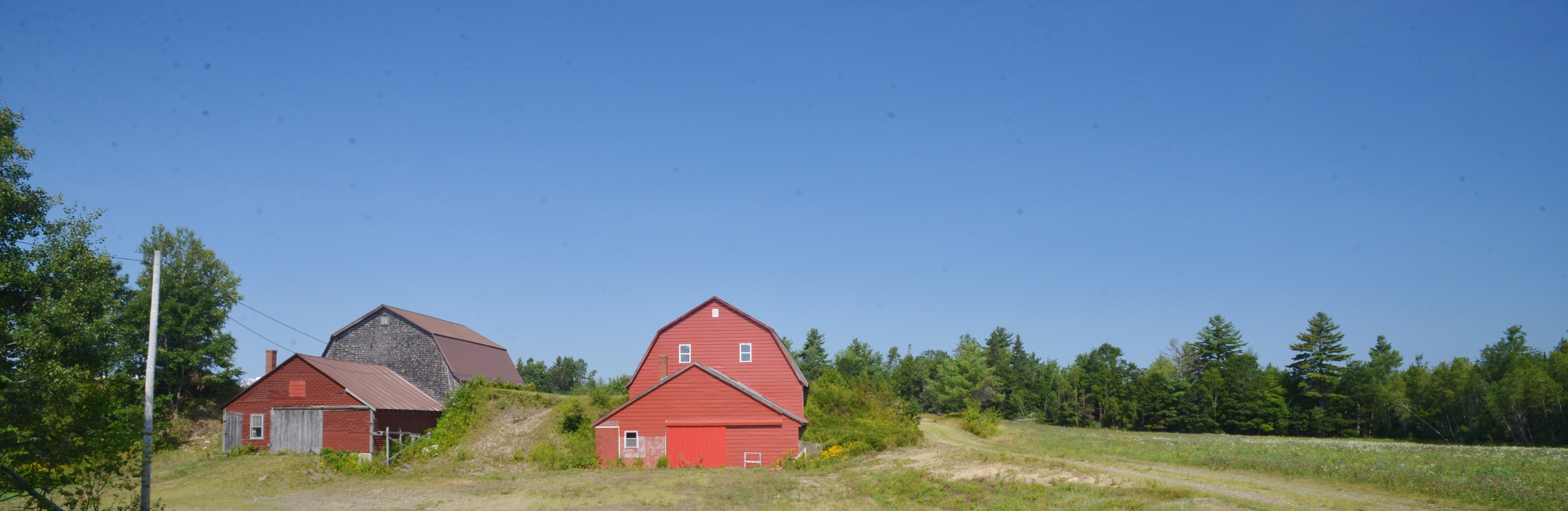
The way life should be..

Portrait Of Lamb Chops.

Creamer Cemetery Maine
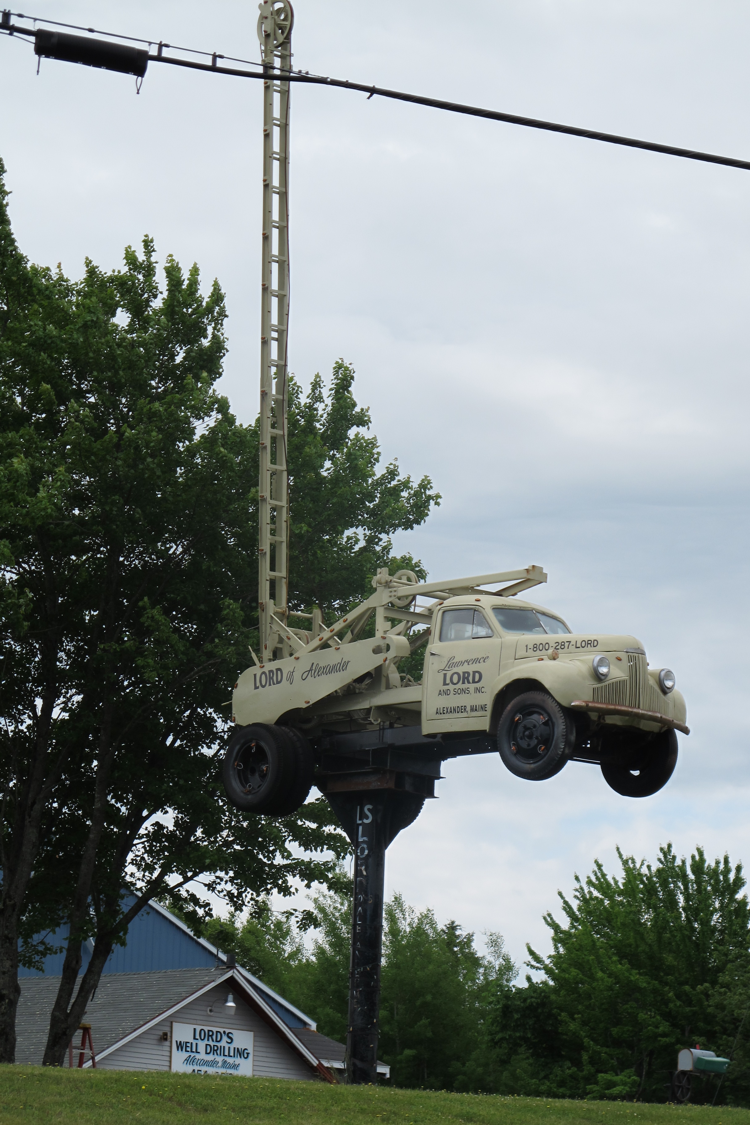
1941 - 1948 Studebaker M-series well driller
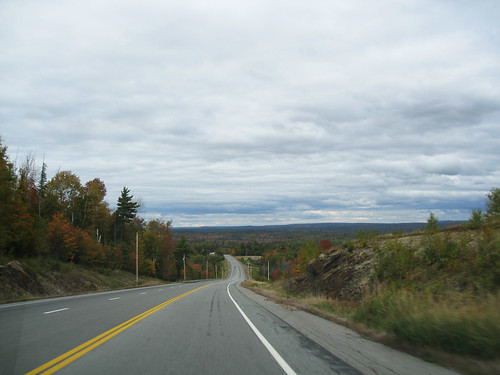
Maine 9 to Canada

Sibby in Her Snuggy

flowers by stream

bright red flower

Breakneck Pan

Mountain Top

Mountain Top Reflection
Topographic Map of Cooper, ME, USA
Find elevation by address:

Places near Cooper, ME, USA:
36 Cooper Hwy, Cooper, ME, USA
697 Cooper Hwy
697 Cooper Hwy
East Central Washington
495 Hadley Lake Rd
Rural Rte 1, East Machias, ME, USA
East Machias
Marshfield
Scotts Hill Road
89 Northfield Rd
1 North St
9 Lyons St
13 Lyons St
1 Short St
15 Charles St
Machias
85 East Side Rd
S River Rd, Dennysville, ME, USA
Machiasport
Old County Road
Recent Searches:
- Elevation of Corso Fratelli Cairoli, 35, Macerata MC, Italy
- Elevation of Tallevast Rd, Sarasota, FL, USA
- Elevation of 4th St E, Sonoma, CA, USA
- Elevation of Black Hollow Rd, Pennsdale, PA, USA
- Elevation of Oakland Ave, Williamsport, PA, USA
- Elevation of Pedrógão Grande, Portugal
- Elevation of Klee Dr, Martinsburg, WV, USA
- Elevation of Via Roma, Pieranica CR, Italy
- Elevation of Tavkvetili Mountain, Georgia
- Elevation of Hartfords Bluff Cir, Mt Pleasant, SC, USA