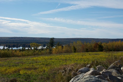
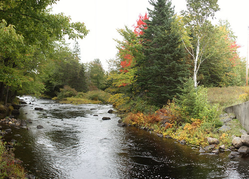
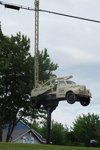
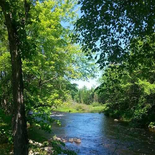
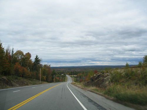
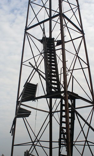
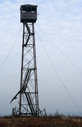
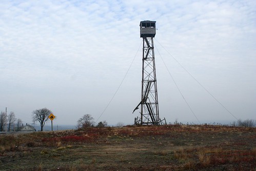
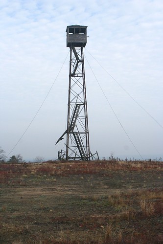
Elevation of Cooper Hwy, Cooper, ME, USA
Location: United States > Maine > Washington County > Cooper >
Longitude: -67.461651
Latitude: 44.9941597
Elevation: 138m / 453feet
Barometric Pressure: 100KPa
Related Photos:
Topographic Map of Cooper Hwy, Cooper, ME, USA
Find elevation by address:

Places near Cooper Hwy, Cooper, ME, USA:
697 Cooper Hwy
Cooper
36 Cooper Hwy, Cooper, ME, USA
East Central Washington
495 Hadley Lake Rd
Marshfield
Rural Rte 1, East Machias, ME, USA
East Machias
89 Northfield Rd
Scotts Hill Road
1 North St
9 Lyons St
13 Lyons St
1 Short St
15 Charles St
Machias
S River Rd, Dennysville, ME, USA
85 East Side Rd
S River Rd, Pembroke, ME, USA
Pembroke
Recent Searches:
- Elevation of Corso Fratelli Cairoli, 35, Macerata MC, Italy
- Elevation of Tallevast Rd, Sarasota, FL, USA
- Elevation of 4th St E, Sonoma, CA, USA
- Elevation of Black Hollow Rd, Pennsdale, PA, USA
- Elevation of Oakland Ave, Williamsport, PA, USA
- Elevation of Pedrógão Grande, Portugal
- Elevation of Klee Dr, Martinsburg, WV, USA
- Elevation of Via Roma, Pieranica CR, Italy
- Elevation of Tavkvetili Mountain, Georgia
- Elevation of Hartfords Bluff Cir, Mt Pleasant, SC, USA

