Elevation of 9 Lyons St, Machias, ME, USA
Location: United States > Maine > Washington County > Machias >
Longitude: -67.455644
Latitude: 44.7182397
Elevation: -10000m / -32808feet
Barometric Pressure: 295KPa
Elevation Map:
Satellite Map:
Related Photos:

North East Vacation Trip

North East Vacation Trip
North East Vacation Trip

Dinner Bags

North East Vacation Trip

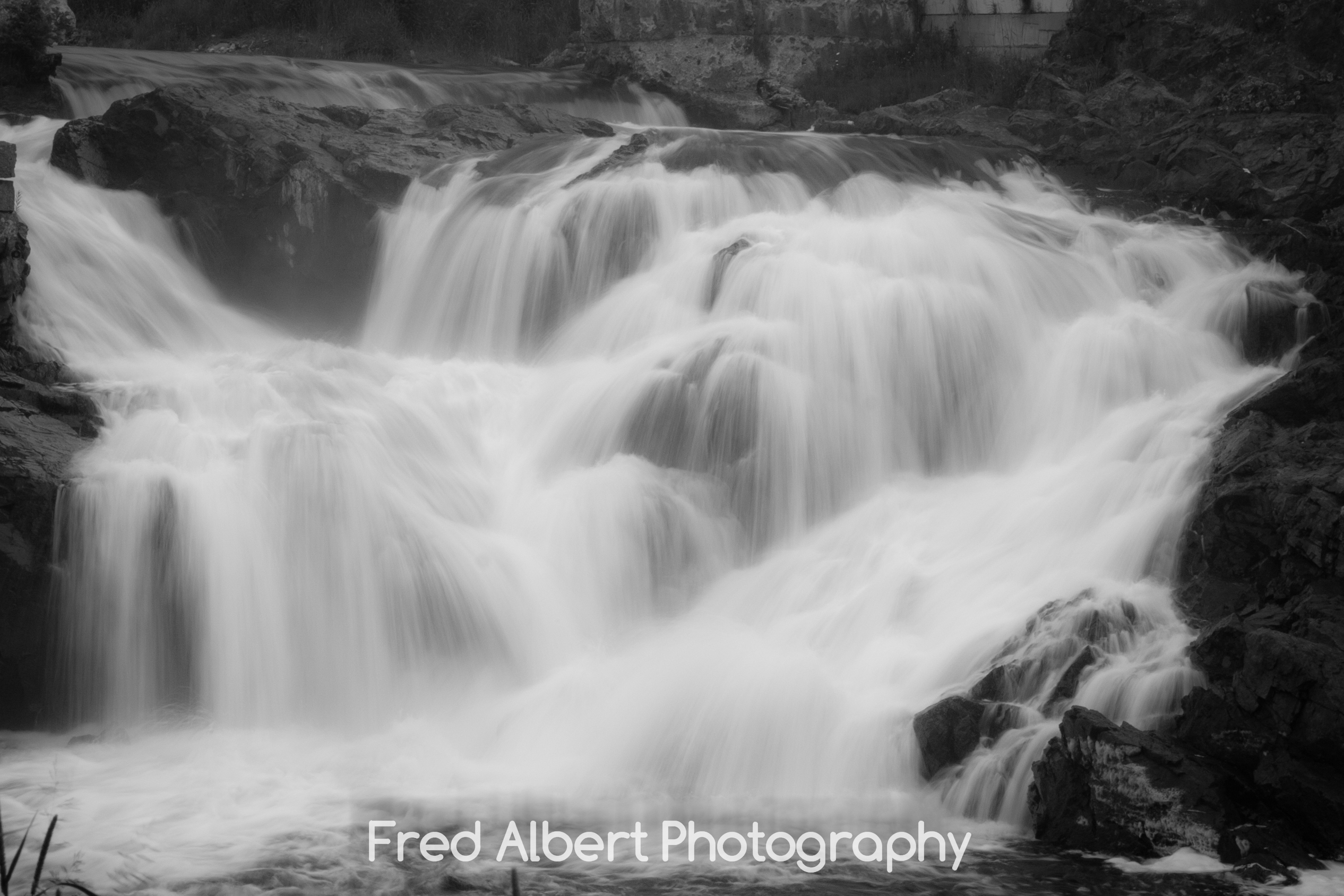
Bad Little Falls.

North East Vacation Trip
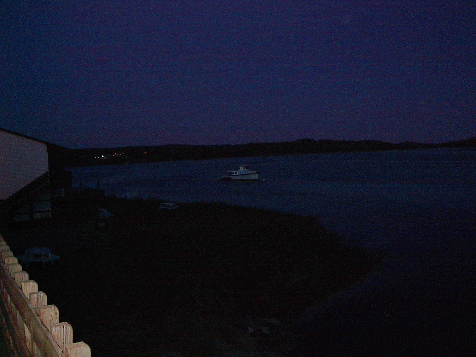
Machias Motor Inn, view over the river

North East Vacation Trip

North East Vacation Trip
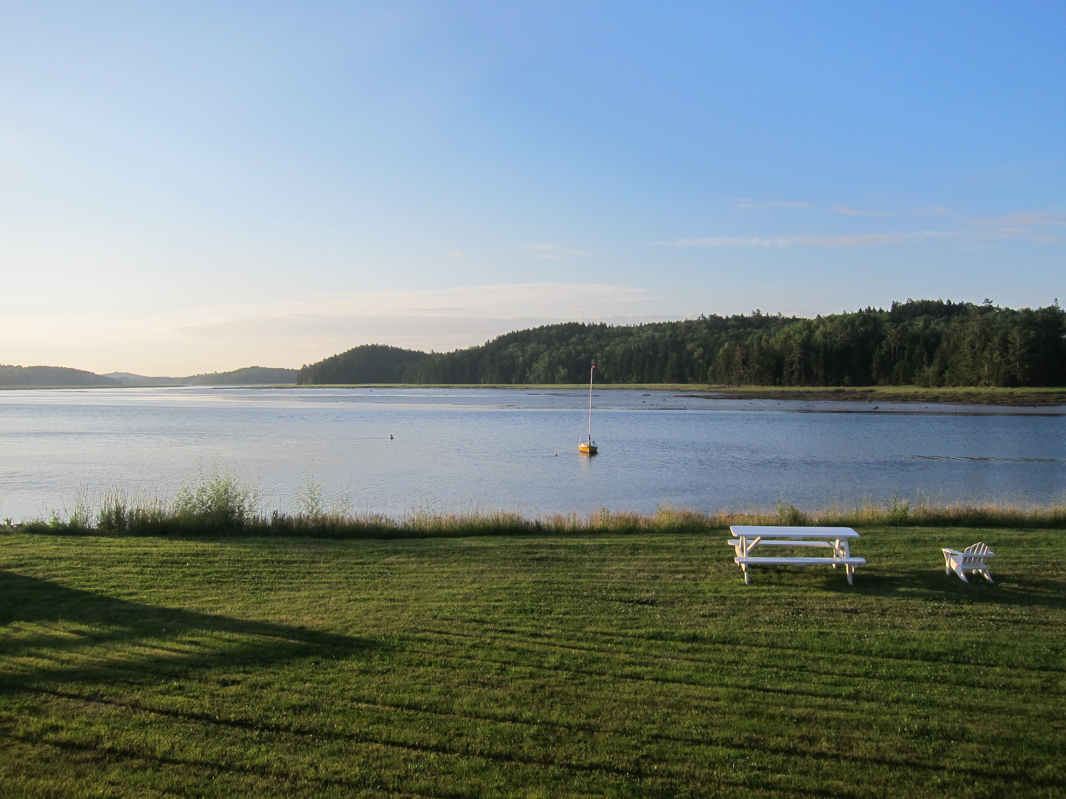
Schoppee Point, Roque Bluffs, ME

Dublin Street, Machias, ME

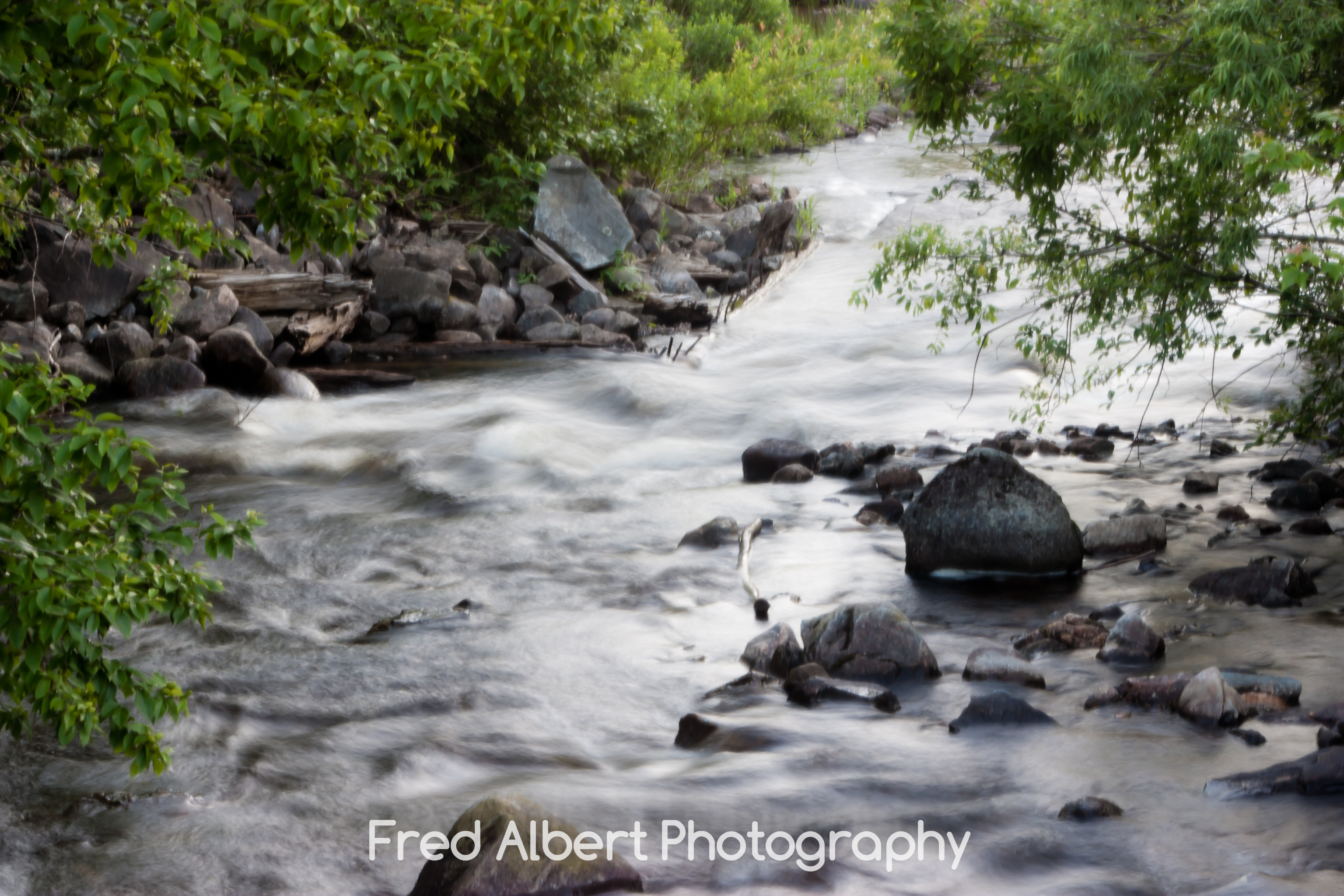
Machias River

Machias Walk October 20, 2013

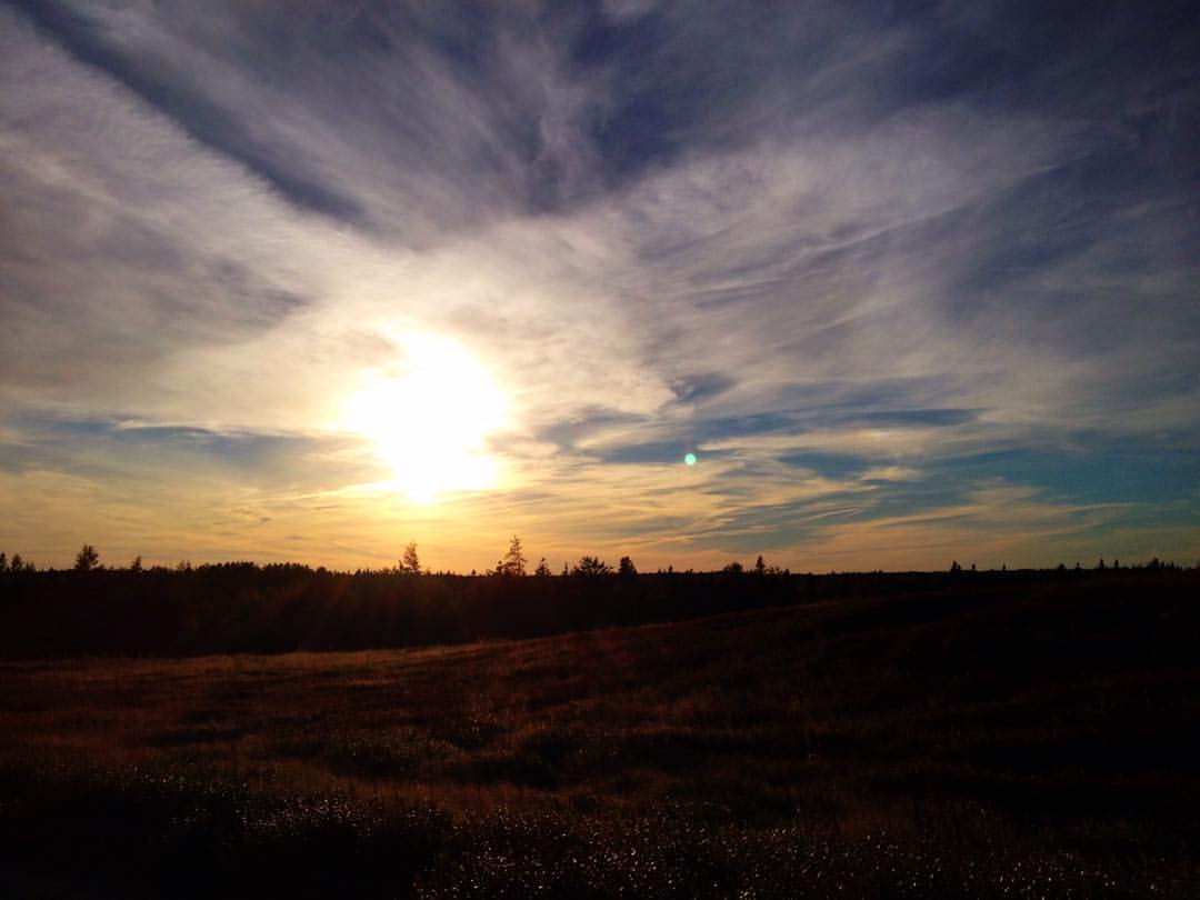
011. Sunset over Machias River. 24-Aug-12

Machias Walk October 20, 2013

Machias Walk October 20, 2013

016. Sunset over Machias River. 24-Aug-12

Milky Way Over Little Deer Isle, Maine

013. Sunset over Machias River. 24-Aug-12

Fall in Maine

Color Color Everywhere.jpg
Coastal-15

Gardner Lake

Tracks in Machias

Blueberry field in Washington County, Maine, USA
Sky in flux. #Maine

Fresh snowstorm this morning, taken 2/3/2003

Bad Little Falls

cutler 2012-06-28 at 12-11-35

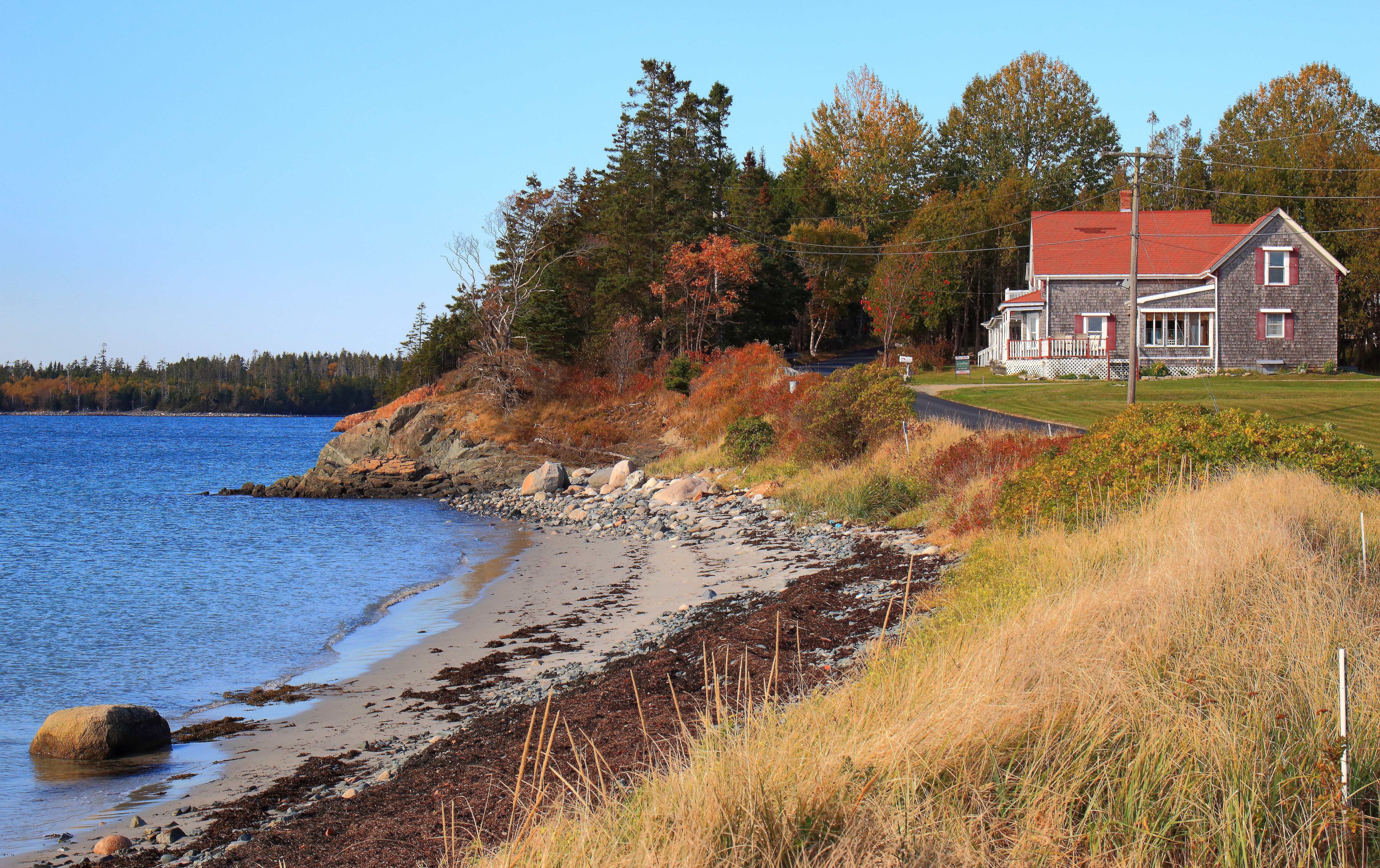
Near Machias

Machias Walk March 4, 2012
Soft brook
Topographic Map of 9 Lyons St, Machias, ME, USA
Find elevation by address:

Places near 9 Lyons St, Machias, ME, USA:
13 Lyons St
1 North St
1 Short St
Machias
15 Charles St
89 Northfield Rd
Marshfield
Scotts Hill Road
East Kennebec Road
East Kennebec Road
495 Hadley Lake Rd
3 Holway Point Road
Holway Point Road
Old County Road
Machiasport
Marston Point
East Machias
85 East Side Rd
47 Clarks Point Rd
908 Port Rd
Recent Searches:
- Elevation of Corso Fratelli Cairoli, 35, Macerata MC, Italy
- Elevation of Tallevast Rd, Sarasota, FL, USA
- Elevation of 4th St E, Sonoma, CA, USA
- Elevation of Black Hollow Rd, Pennsdale, PA, USA
- Elevation of Oakland Ave, Williamsport, PA, USA
- Elevation of Pedrógão Grande, Portugal
- Elevation of Klee Dr, Martinsburg, WV, USA
- Elevation of Via Roma, Pieranica CR, Italy
- Elevation of Tavkvetili Mountain, Georgia
- Elevation of Hartfords Bluff Cir, Mt Pleasant, SC, USA