Elevation of 47 Clarks Point Rd, Machiasport, ME, USA
Location: United States > Maine > Washington County > Machiasport >
Longitude: -67.390593
Latitude: 44.67365
Elevation: 13m / 43feet
Barometric Pressure: 101KPa
Elevation Map:
Satellite Map:
Related Photos:
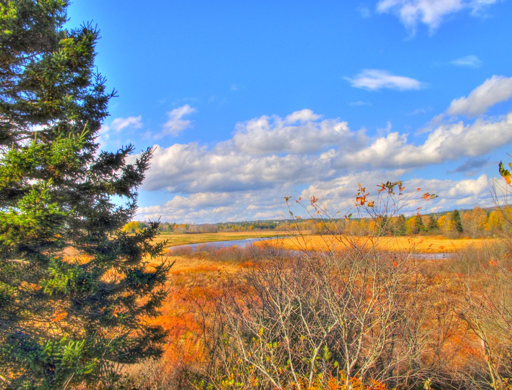
North East Vacation Trip
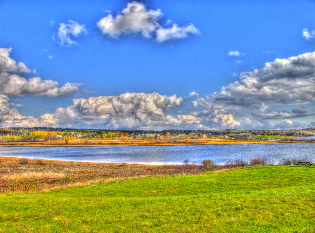
North East Vacation Trip
North East Vacation Trip
North East Vacation Trip

Dinner Bags

North East Vacation Trip
North East Vacation Trip
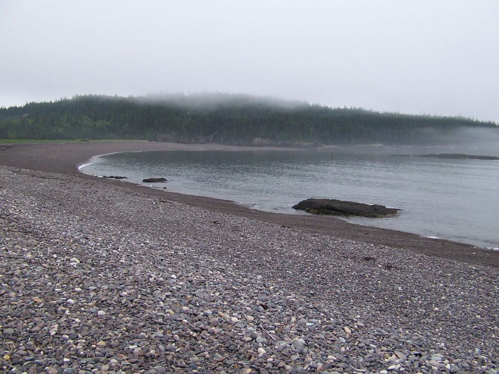
Jasper Beach
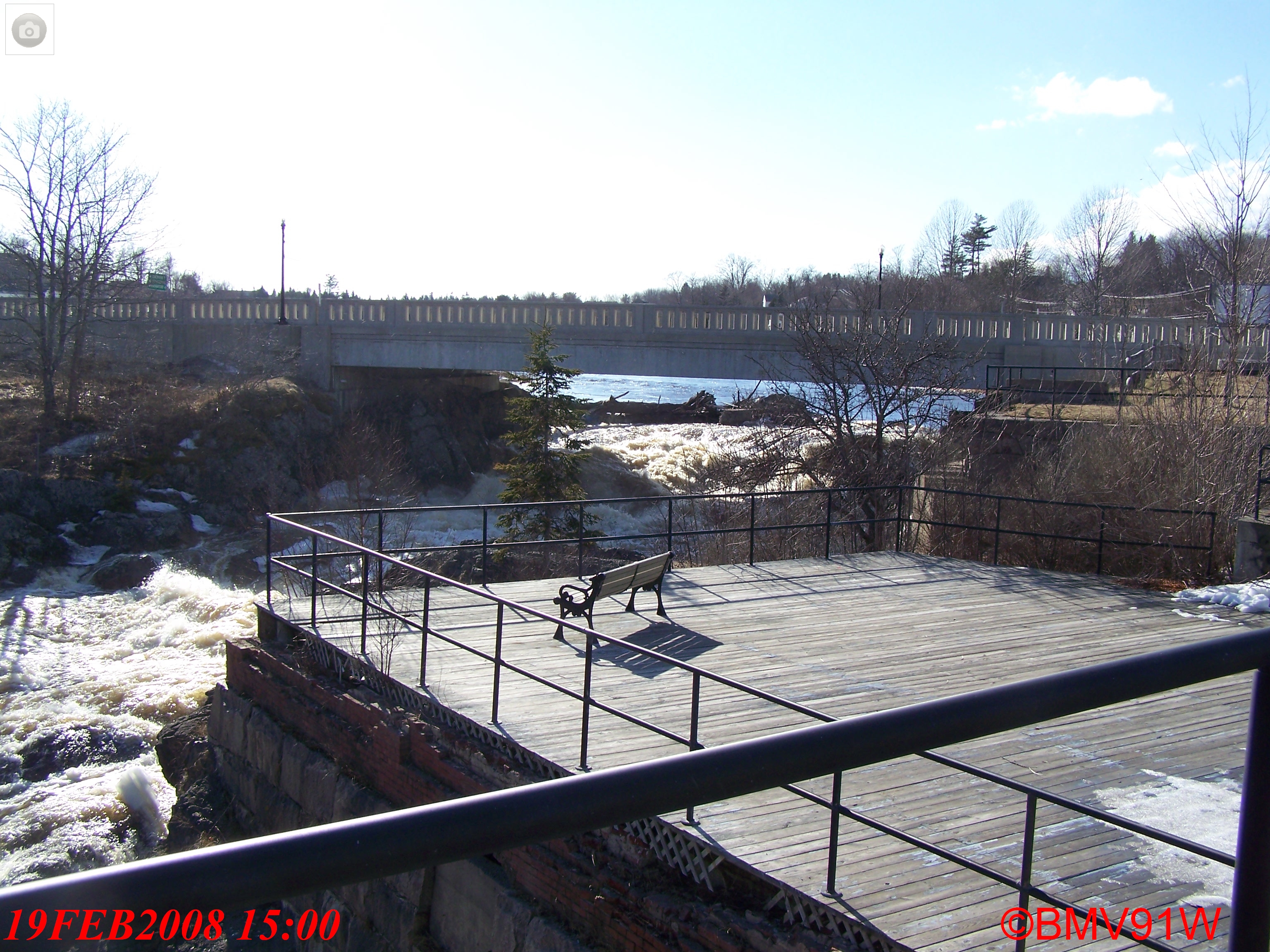
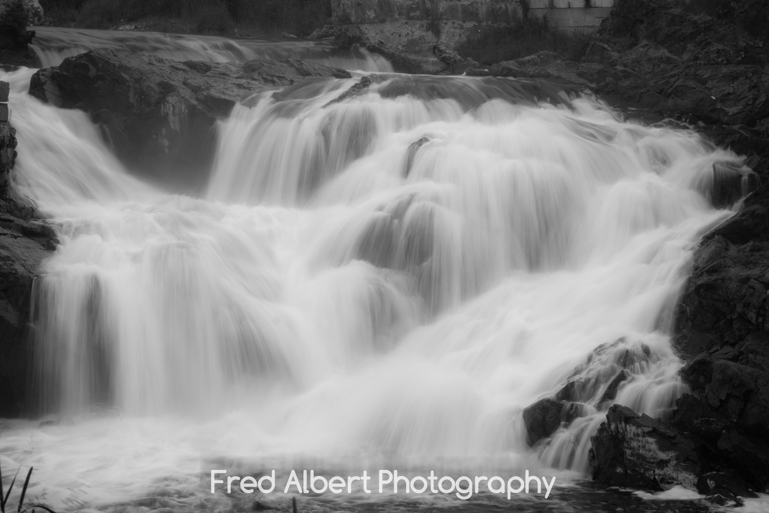
Bad Little Falls.
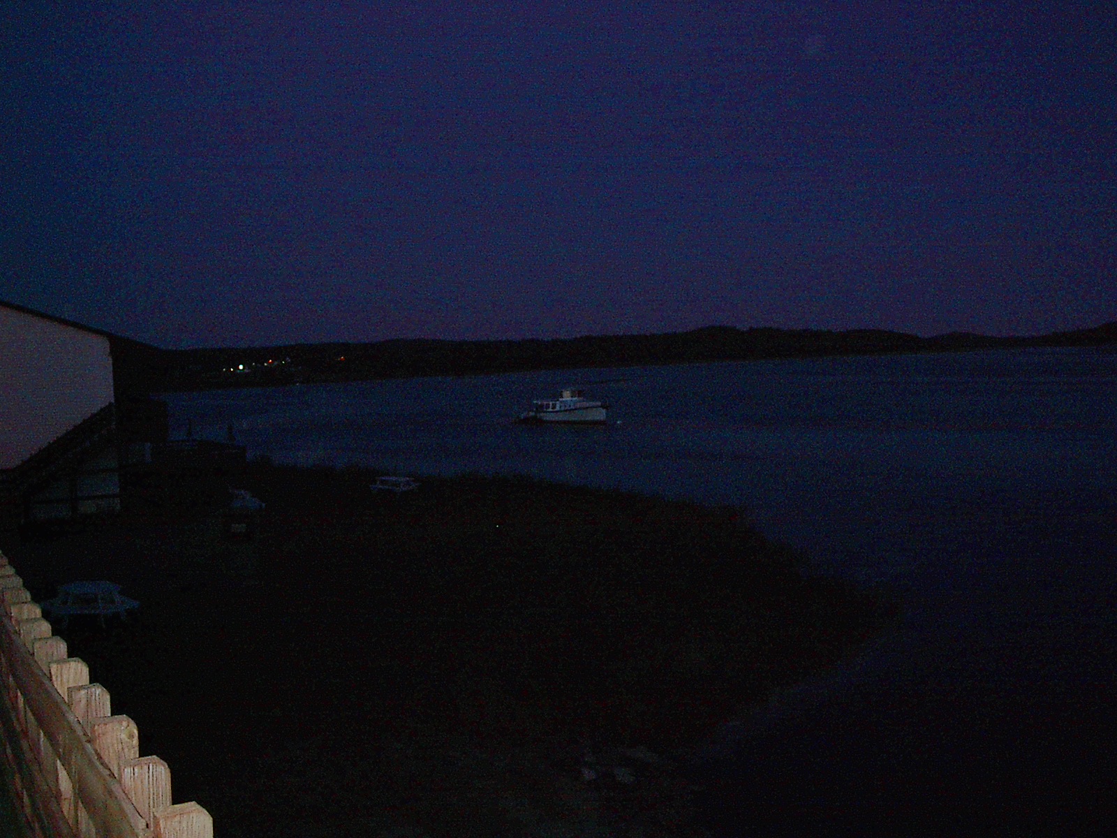
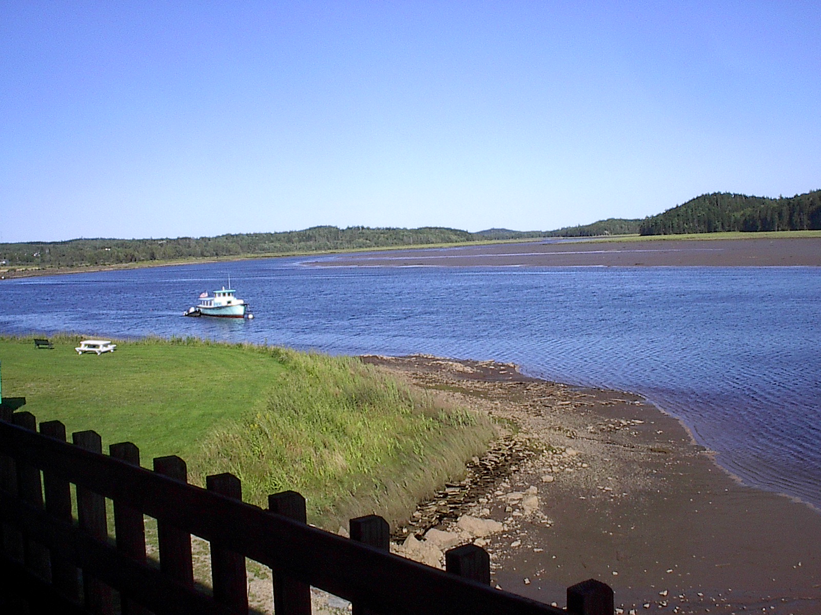
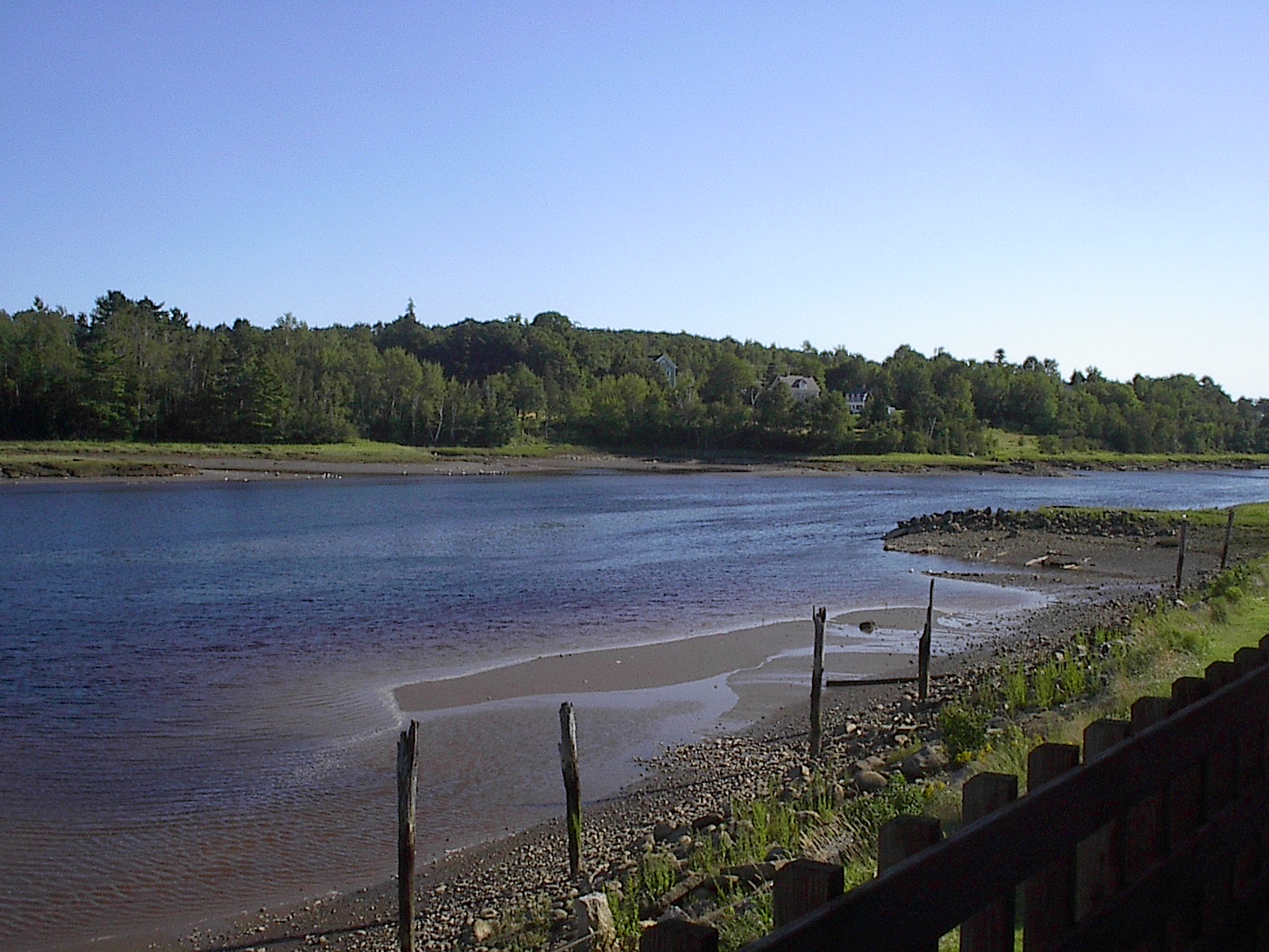
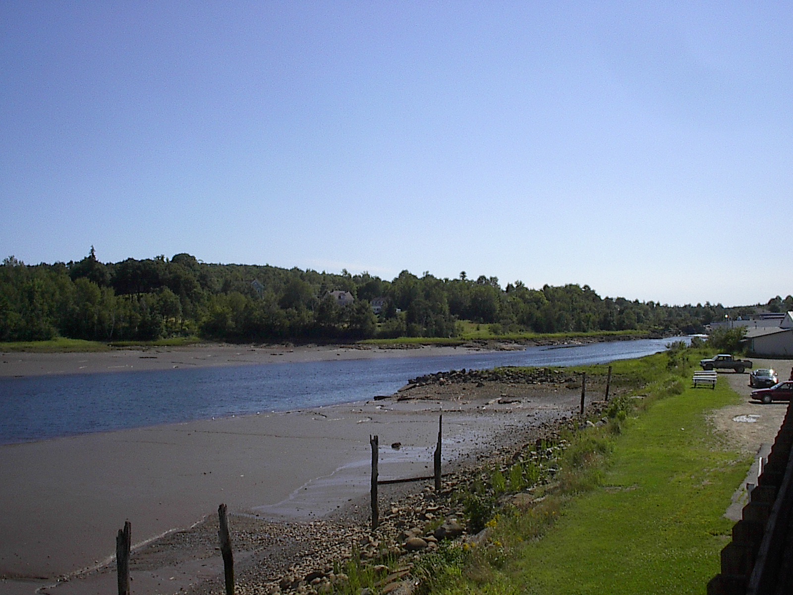
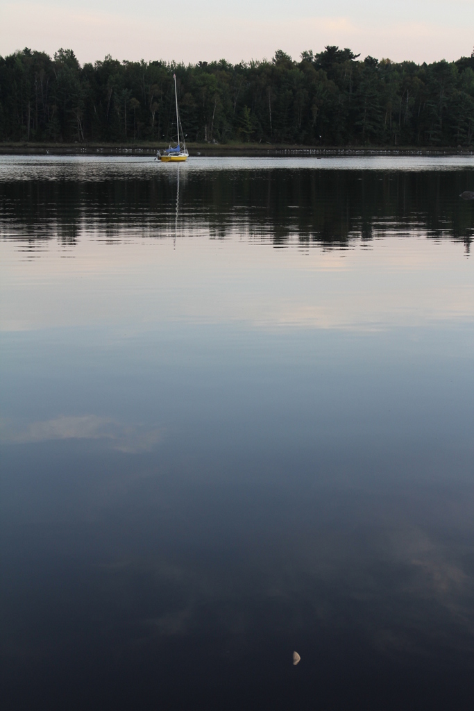
Machias Motor Inn, view over the river
North East Vacation Trip
North East Vacation Trip

North East Vacation Trip
North East Vacation Trip
Rogue Bluffs State Park
Iced Orange

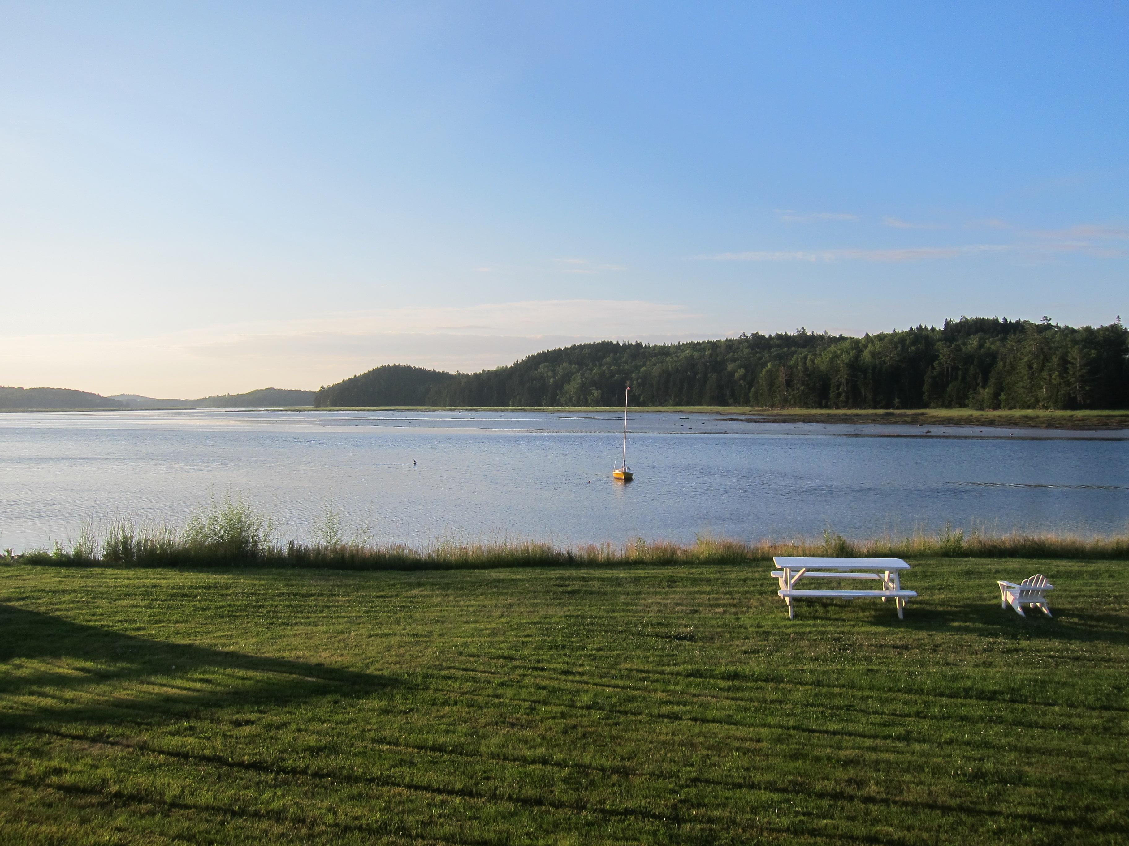
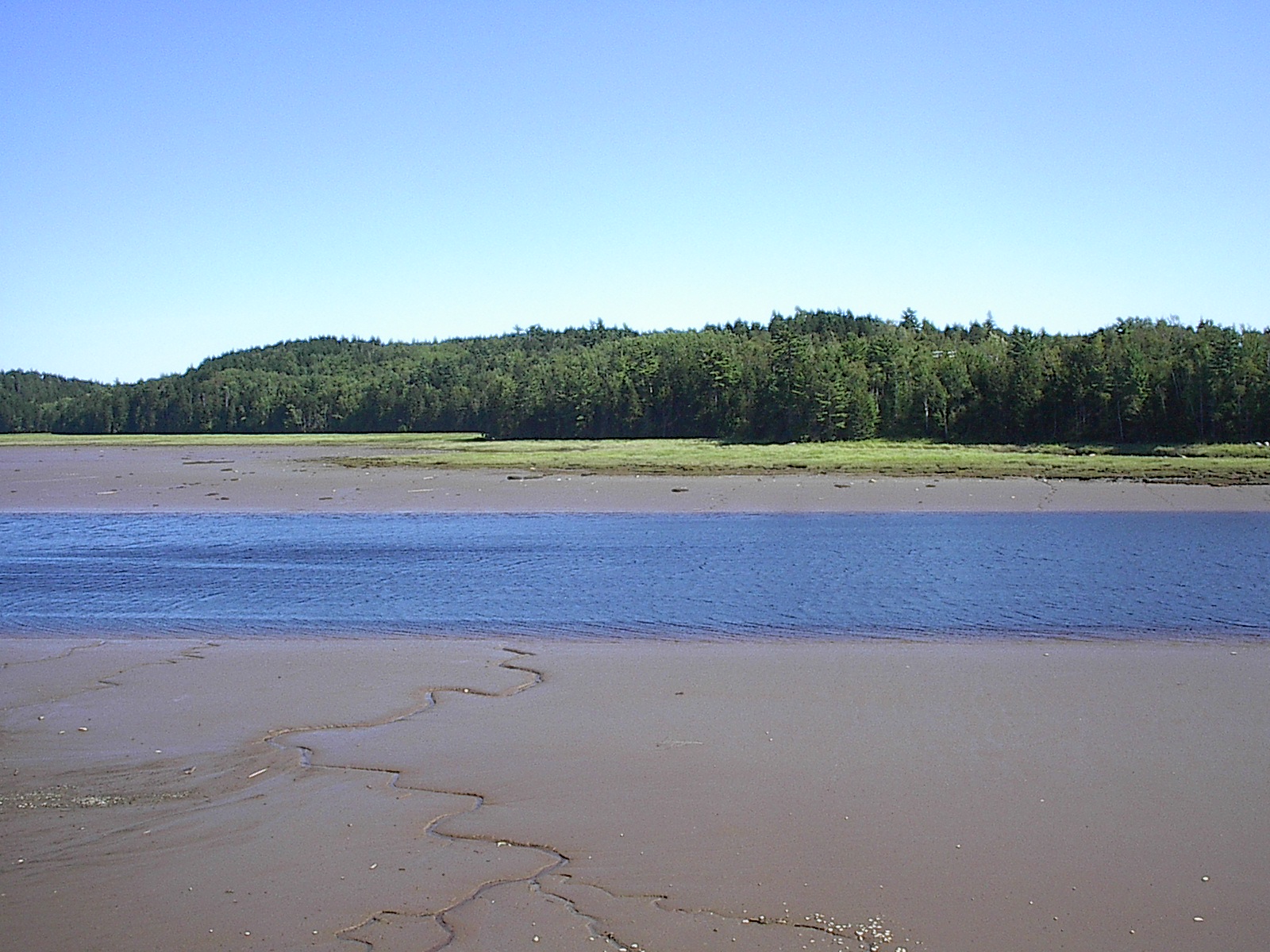
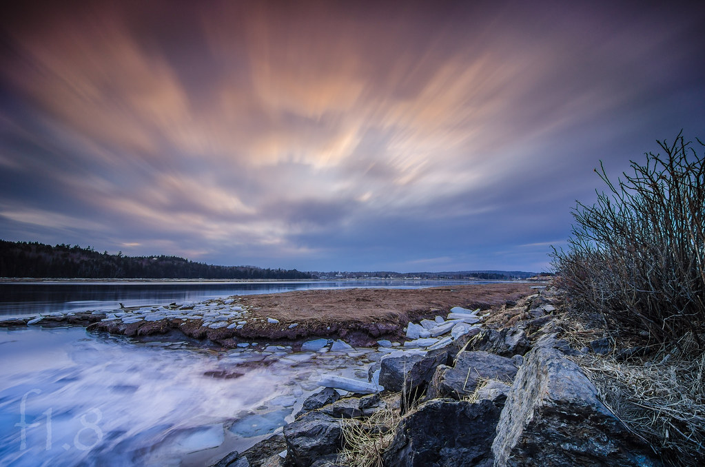
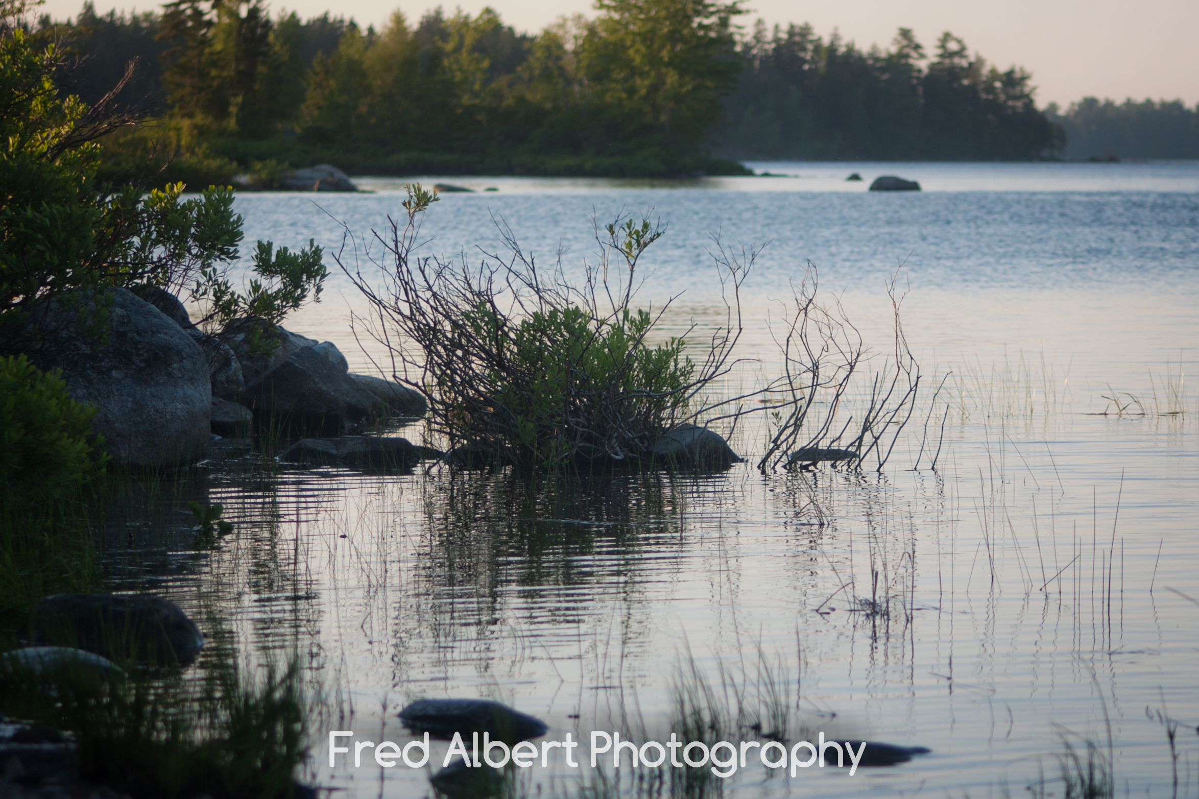
Machias River
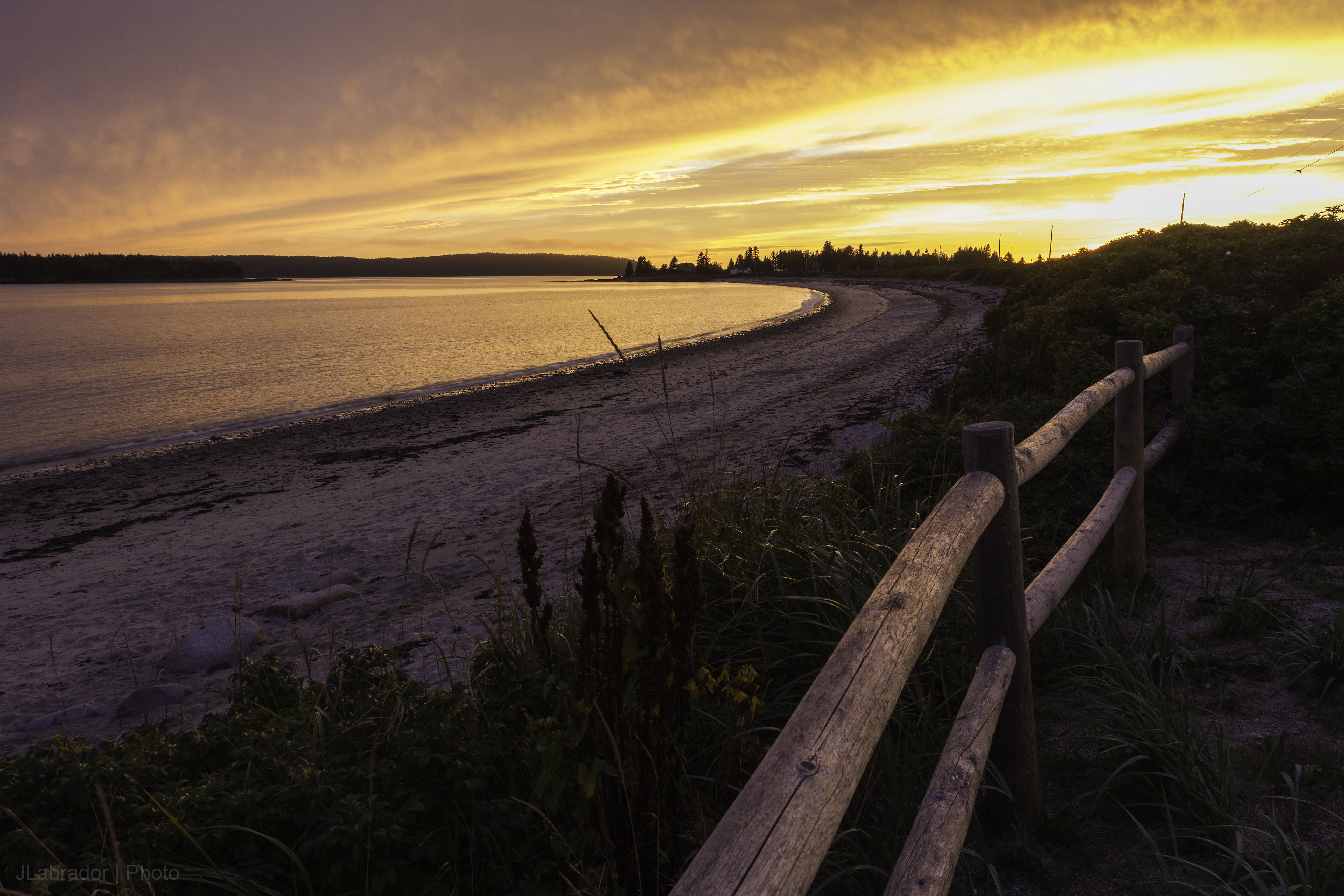
Roque Bluffs
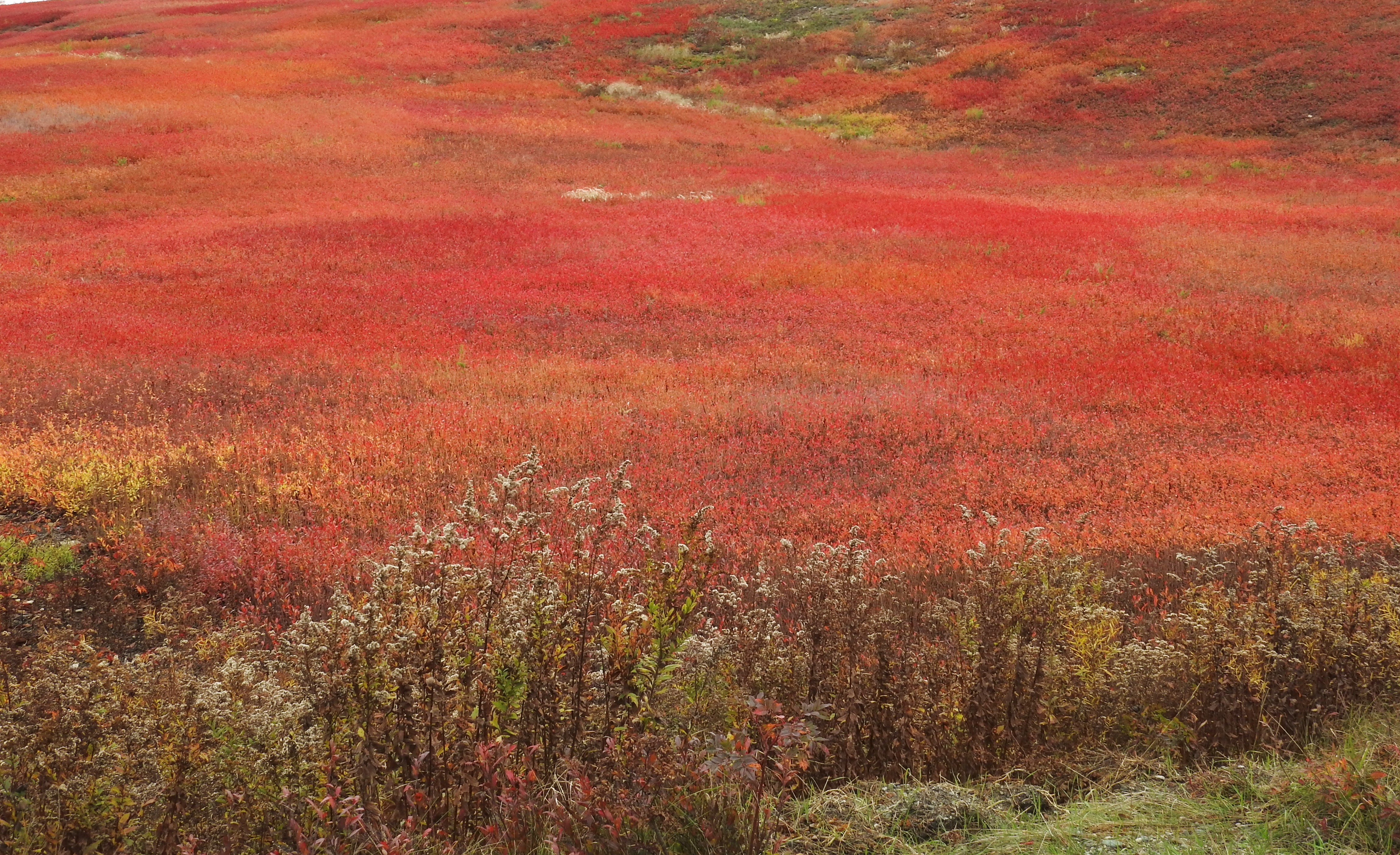
Blueberry field
Coastal-15

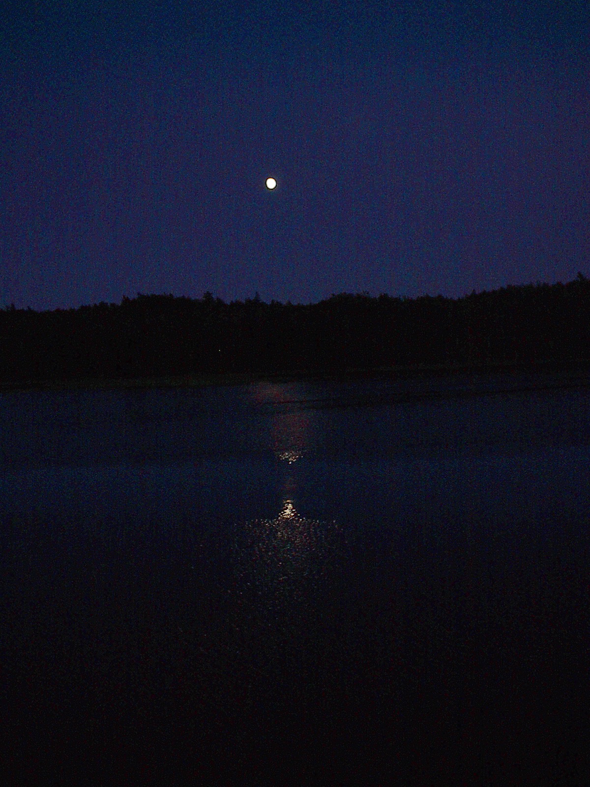
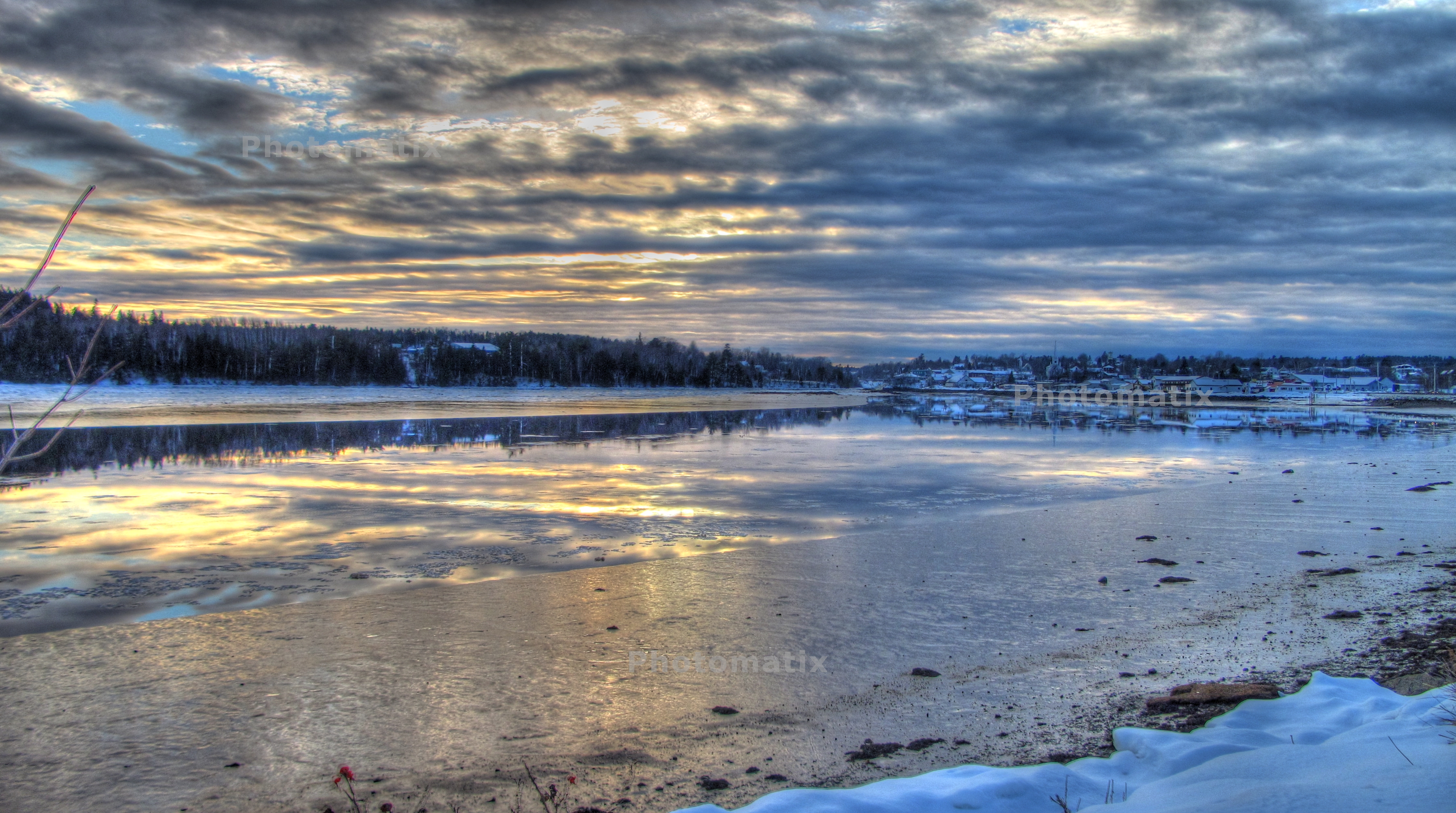
011. Sunset over Machias River. 24-Aug-12
Gardner Lake

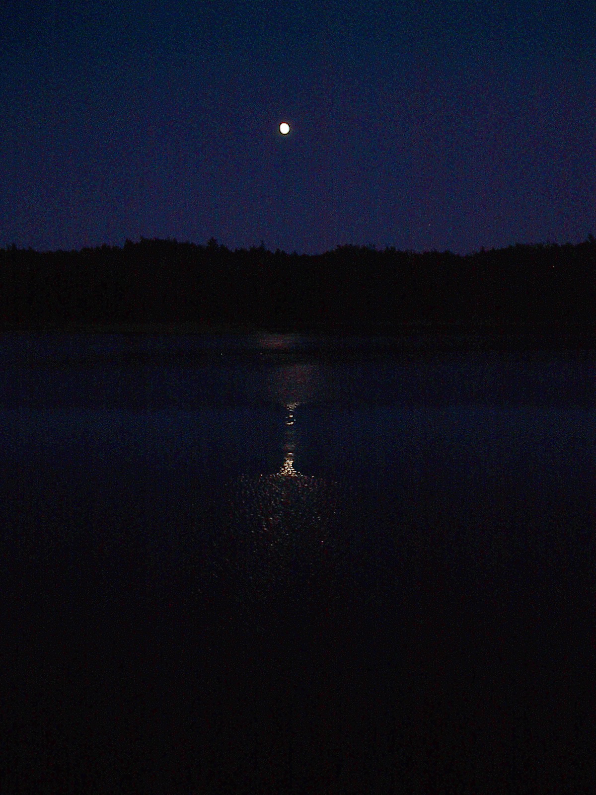
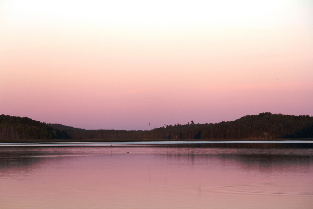
Sunrise on Machias River on 1/12/13
016. Sunset over Machias River. 24-Aug-12
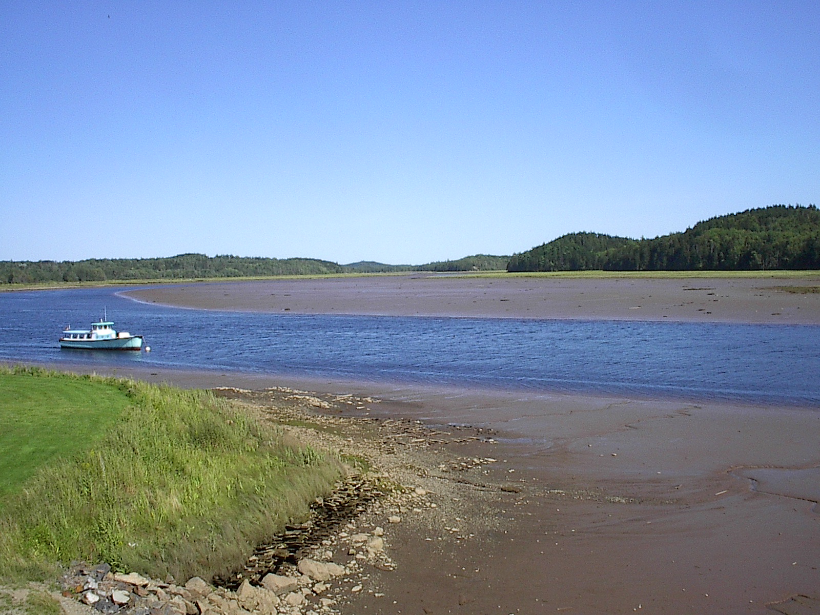
Machias River

Machias Walk October 20, 2013
013. Sunset over Machias River. 24-Aug-12
Machias Walk October 20, 2013
Machias Walk October 20, 2013

Roque Bluffs State Park, Maine II
Fresh snowstorm this morning, taken 2/3/2003
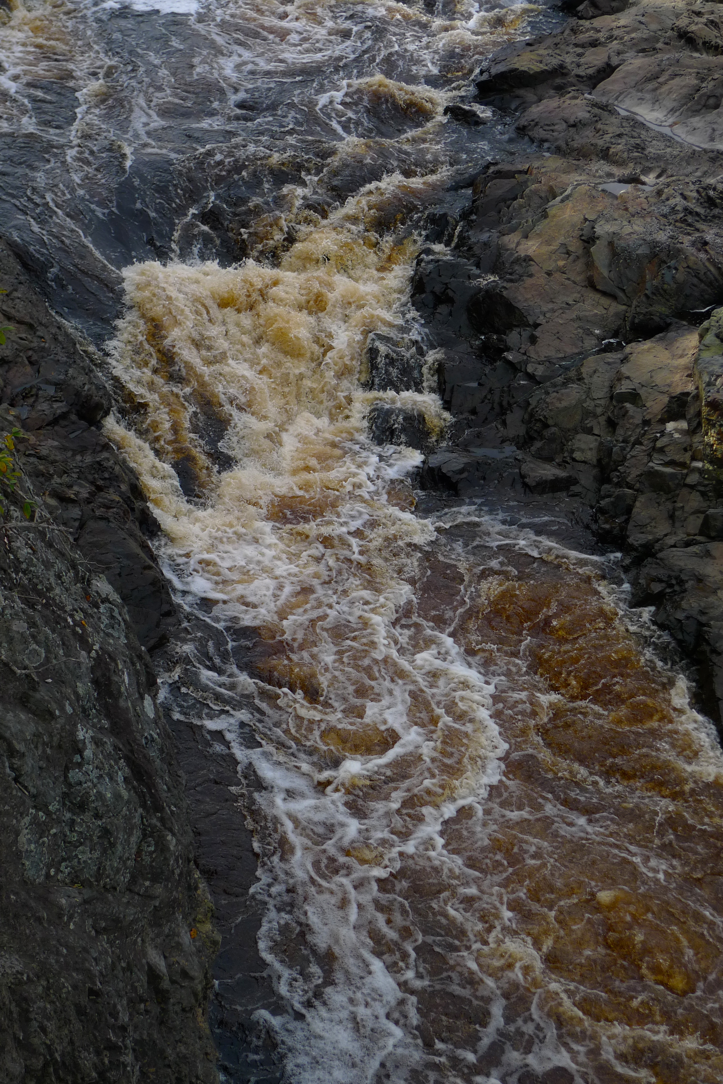
Bad Little Falls
Tracks in Machias
cutler 2012-06-28 at 12-11-35
Light house
Topographic Map of 47 Clarks Point Rd, Machiasport, ME, USA
Find elevation by address:

Places near 47 Clarks Point Rd, Machiasport, ME, USA:
908 Port Rd
Indian Head Road
Machiasport
Old County Road
11 Smalls Point Rd
85 East Side Rd
3 Holway Point Road
Holway Point Road
832 Cutler Rd
Johnson Lane
Marston Point
831 Cutler Rd
East Kennebec Road
East Kennebec Road
Scotts Hill Road
East Machias
Cutler Rd, Whiting, ME, USA
1 Short St
13 Lyons St
9 Lyons St
Recent Searches:
- Elevation of Corso Fratelli Cairoli, 35, Macerata MC, Italy
- Elevation of Tallevast Rd, Sarasota, FL, USA
- Elevation of 4th St E, Sonoma, CA, USA
- Elevation of Black Hollow Rd, Pennsdale, PA, USA
- Elevation of Oakland Ave, Williamsport, PA, USA
- Elevation of Pedrógão Grande, Portugal
- Elevation of Klee Dr, Martinsburg, WV, USA
- Elevation of Via Roma, Pieranica CR, Italy
- Elevation of Tavkvetili Mountain, Georgia
- Elevation of Hartfords Bluff Cir, Mt Pleasant, SC, USA