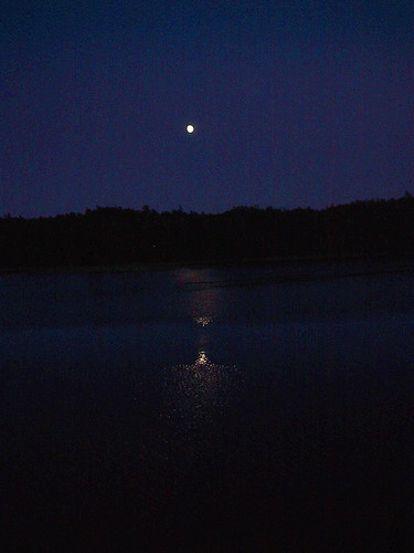
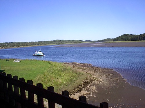
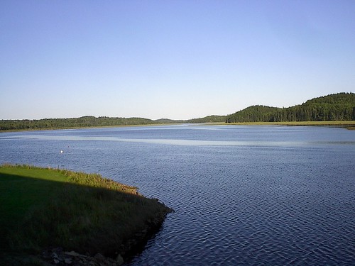
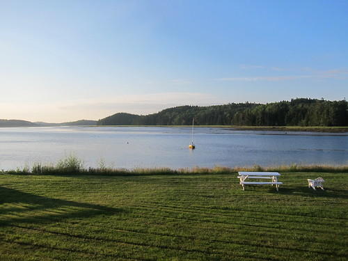
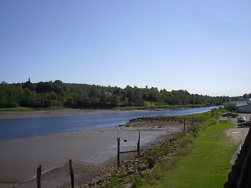
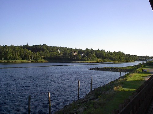
Elevation of Scotts Hill Road, Scotts Hill Rd, East Machias, ME, USA
Location: United States > Maine > Washington County > East Machias >
Longitude: -67.421112
Latitude: 44.7298795
Elevation: 43m / 141feet
Barometric Pressure: 101KPa
Related Photos:
Topographic Map of Scotts Hill Road, Scotts Hill Rd, East Machias, ME, USA
Find elevation by address:

Places near Scotts Hill Road, Scotts Hill Rd, East Machias, ME, USA:
495 Hadley Lake Rd
East Machias
1 Short St
1 North St
13 Lyons St
9 Lyons St
Old County Road
Machiasport
Machias
85 East Side Rd
15 Charles St
89 Northfield Rd
Marshfield
East Kennebec Road
East Kennebec Road
3 Holway Point Road
Rural Rte 1, East Machias, ME, USA
47 Clarks Point Rd
Holway Point Road
908 Port Rd
Recent Searches:
- Elevation of Corso Fratelli Cairoli, 35, Macerata MC, Italy
- Elevation of Tallevast Rd, Sarasota, FL, USA
- Elevation of 4th St E, Sonoma, CA, USA
- Elevation of Black Hollow Rd, Pennsdale, PA, USA
- Elevation of Oakland Ave, Williamsport, PA, USA
- Elevation of Pedrógão Grande, Portugal
- Elevation of Klee Dr, Martinsburg, WV, USA
- Elevation of Via Roma, Pieranica CR, Italy
- Elevation of Tavkvetili Mountain, Georgia
- Elevation of Hartfords Bluff Cir, Mt Pleasant, SC, USA
