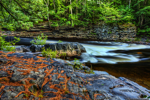
Elevation map of Maine, USA
Location: United States >
Longitude: -69.445468
Latitude: 45.253783
Elevation: 195m / 640feet
Barometric Pressure: 99KPa
Related Photos:
Topographic Map of Maine, USA
Find elevation by address:

Places in Maine, USA:
Cumberland County
Hancock County
York County
Kennebec County
Aroostook County
Washington County
Lincoln County
Penobscot County
Franklin County
Oxford County
Knox County
Androscoggin County
Waldo County
Somerset County
Sagadahoc County
Piscataquis County
Strong
Rangeley
Kingfield
Newry
Millinocket
Silvers Mills Rd, Sangerville, ME, USA
Sangerville Line Rd, Dover-Foxcroft, ME, USA
New City
The Owl
Brassua Lake
Places near Maine, USA:
Sebec Lake Rd, Willimantic, ME, USA
Tenney Hill Rd, Abbot, ME, USA
78 Water St
Monson
Abbot
Fire Ln 3
Guilford
65 Mcdonald Rd
Parkman
Sangerville
728 Crow Hill Rd
15 Libby Ln
481 Crow Hill Rd
Sebec Lake
Greeleys Landing Road
2 Cotton Brook Rd, Dover-Foxcroft, ME, USA
ME-23, Sangerville, ME, USA
30 Borestone View
30 Borestone View
30 Borestone View
Recent Searches:
- Elevation of Corso Fratelli Cairoli, 35, Macerata MC, Italy
- Elevation of Tallevast Rd, Sarasota, FL, USA
- Elevation of 4th St E, Sonoma, CA, USA
- Elevation of Black Hollow Rd, Pennsdale, PA, USA
- Elevation of Oakland Ave, Williamsport, PA, USA
- Elevation of Pedrógão Grande, Portugal
- Elevation of Klee Dr, Martinsburg, WV, USA
- Elevation of Via Roma, Pieranica CR, Italy
- Elevation of Tavkvetili Mountain, Georgia
- Elevation of Hartfords Bluff Cir, Mt Pleasant, SC, USA


