Elevation of Sangerville Line Rd, Dover-Foxcroft, ME, USA

Location: United States > Maine >

Longitude: -69.238916

Latitude: 45.1170465

Elevation: 157m / 515feet

Barometric Pressure: 99KPa

Elevation Map:

elevation map of Sangerville Line Rd, Dover-Foxcroft, ME, USA

Satellite Map:

Satellite map of Sangerville Line Rd, Dover-Foxcroft, ME, USA

Related Photos:

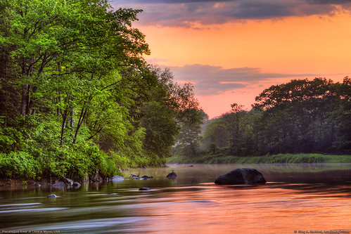
sunset reflection nature water clouds forest river landscape stream maine newengland wilderness flowingriver piscataquisriver piscataquis piscataquiscounty
Piscataquis River, Maine USA
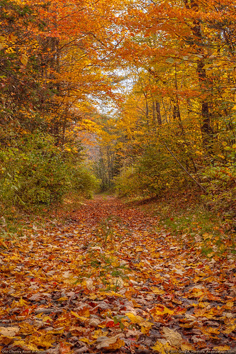
autumn autumnfoliage red fall leaves landscape golden antique antiquecar maine newengland autumnleaves foliage 1925 fallseason antiqueford flickraward 1925ford flickraward5
Autumn Leaves and 1925 Ford
autumn autumnfoliage trees orange fallleaves fall nature leaves rural landscape arch maine arc autumnleaves oldroad yellowleaves ruralroad orangeleaves fallseason newengalnd piscataquis sangerville sangervillemaine piscataquismaine fallcanopy
Autumn Leaves on Old Road
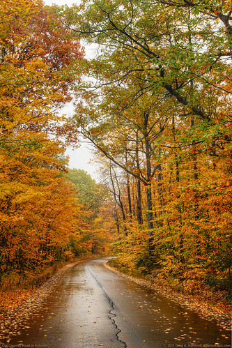
road autumn autumnfoliage trees fall leaves landscape maine newengland autumnleaves canopy ruralroad fallseason autumnroad fallcanopy
Autumn Canopy and Leaves
autumn fall nature sunrise season golden corn warm seasons bokeh farm fallcolors farming grain maine harvest newengland autumncolors cornplant cornleaves cornleaf
Autumn Harvest of Corn
autumn fallleaves fall nature leaves yellow rural landscape bokeh maine newengland autumnleaves ornage fallseason musictomyeyeslevel1
Autumn Leaves
truck radio maine tools nitro remotecontrol rc tmaxx traxxas abbot mymostinteresting rustler stagedforblogging fullthrottleracing
Pit row
maine 2007 canonef28135mmf3556isusm canonrebelxti
First attempt at Astrophotography
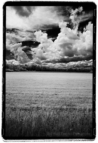
trees field clouds landscape ir maine canonae1 2012 no14 24mmlens rollei400ir
Clouds and Field Looking West on Rt 7, Dexter, ME (vertical)
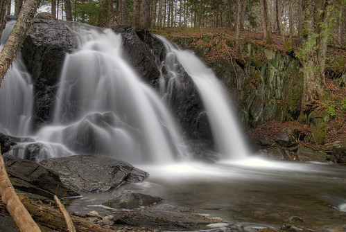
waterfall maine explore hdr abbot 3xp piscataquiscounty galesbrook galesbrookfalls
Gales Brook Falls
sunset summer airplane maine hdr doverfoxcroft wetrunway
Sunset Piscataquis River
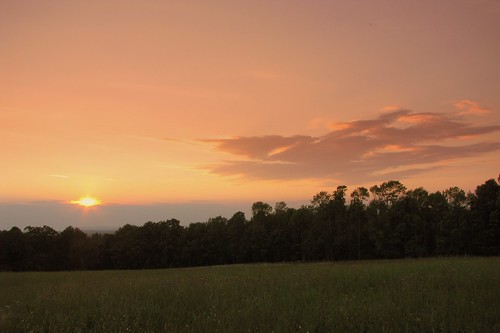
trees field clouds landscape ir maine 2012 rollei400ir
Clouds and Field Looking West on Rt 7, Dexter, ME
maine atkinson blogfkchs
Beau paysage
maine atkinson blogfkchs
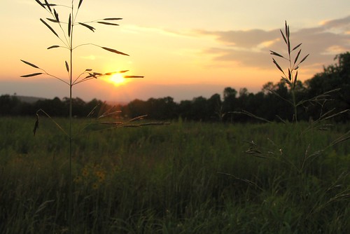
Graines de foins au soleil couchant
maine 2007 canonef28135mmf3556isusm tiffencircularpolarizer canonrebelxti
Storm front is approaching
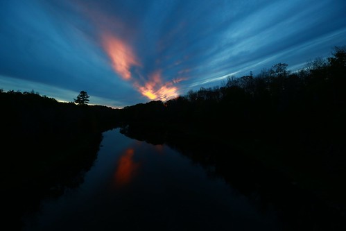
bridge school light color canon river landscape high dover foxcroft foxcroftacademy
dover foxcroft sunset
morning canoe 52weeks sebeclake redwatersky
Fishin'
bible
Psalm 19.1
me travis dexter wassokeag
Me in Dexter
bible
Psaume 19.1
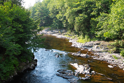
forest rocks maine bigwilsonstream
Big Wilson Stream, Gilford Road, Maine 07122011
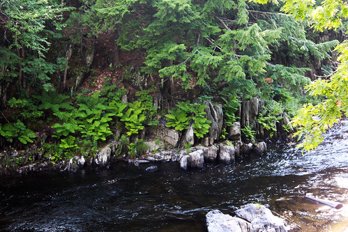
mainebigwilsonstreamrocks fernsforest
Big Wilson Stream2, Gilford Road, Maine 07122011
100 Mile Wilderness and Mt. Katahdin summit