Elevation of Sebec Lake Rd, Willimantic, ME, USA
| Latitude | 45.2892213 |
|---|---|
| Longitude | -69.4136094 |
| Elevation | 138m / 453feet |
| Barometric Pressure | 997KPa |
Related Photos:

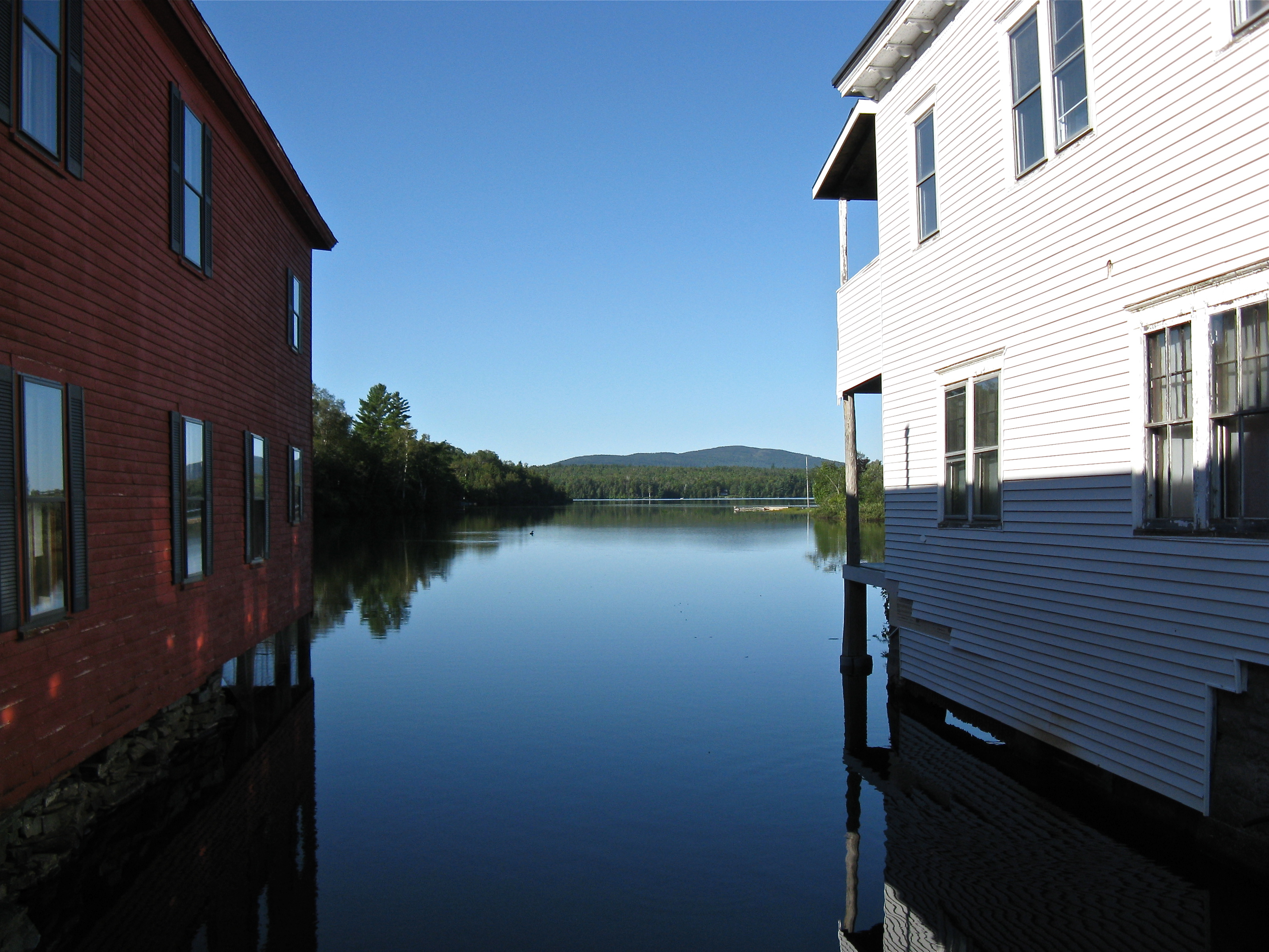
Piscataquis River, Maine USA

Lesser Goldfinch (Spinus psaltria) at Abbot, Maine

Lesser Goldfinch (Spinus psaltria) at Abbot, Maine

Wilson Stream in Maine

Autumn Leaves

Pit row
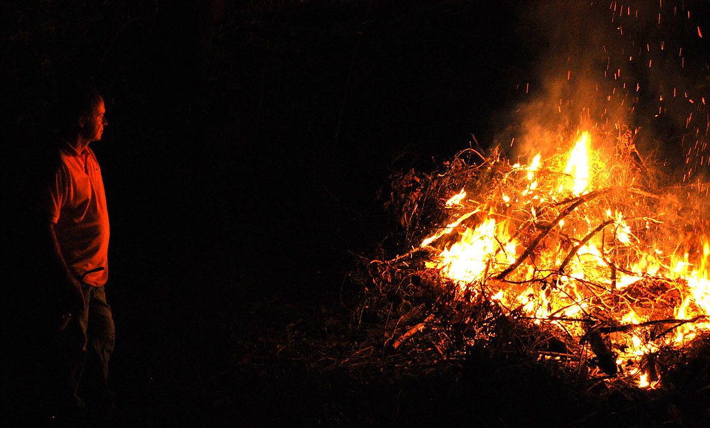
Fire God
Lake Hebron

SI - June 20, 2013; Trail; Peaks-Kelly State Park; Dover-Foxcroft, Maine
228491490873717648_65872320130521-3955-196toar

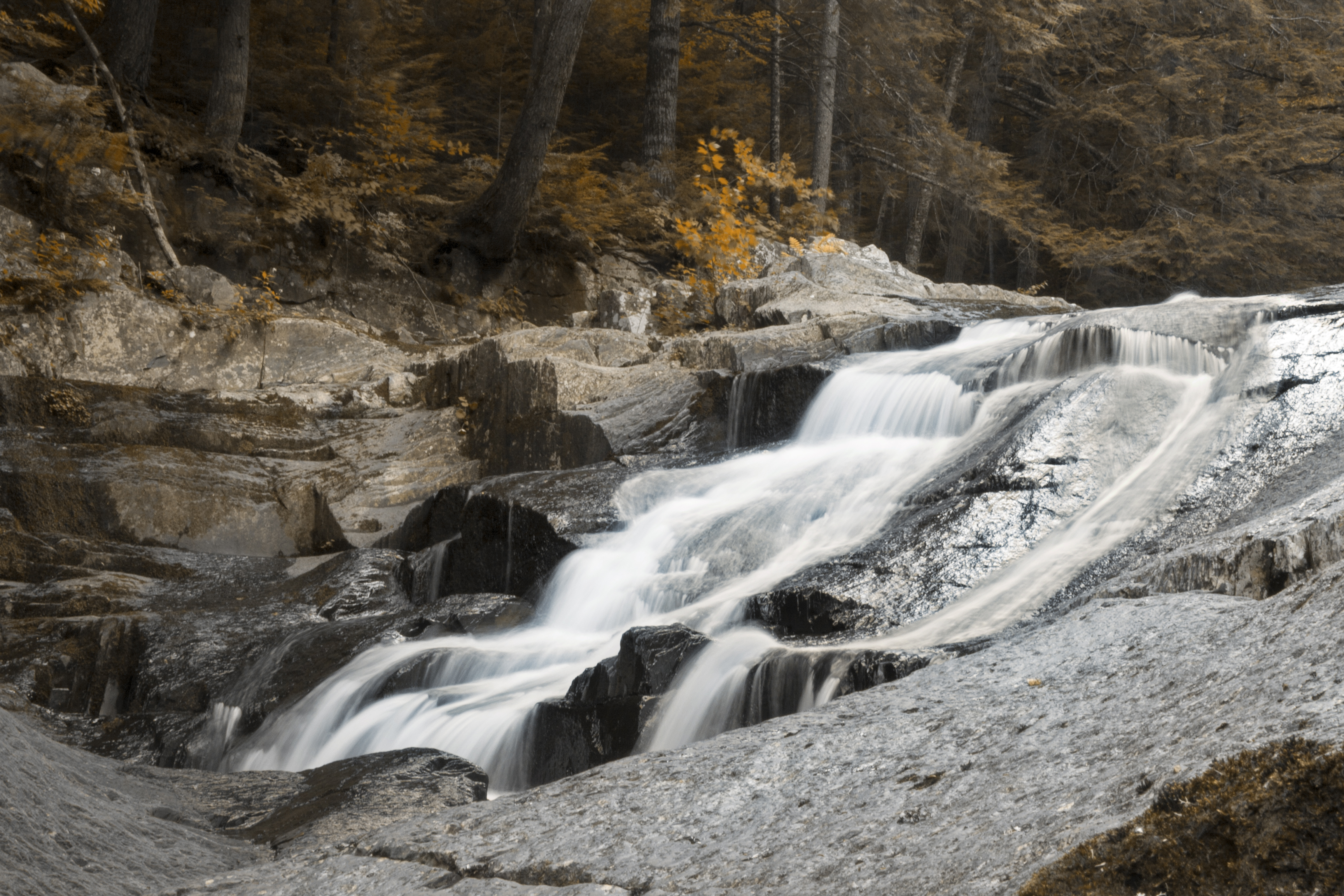
Gales Brook Falls

228488472468009835_65872320130521-3955-ux6khf
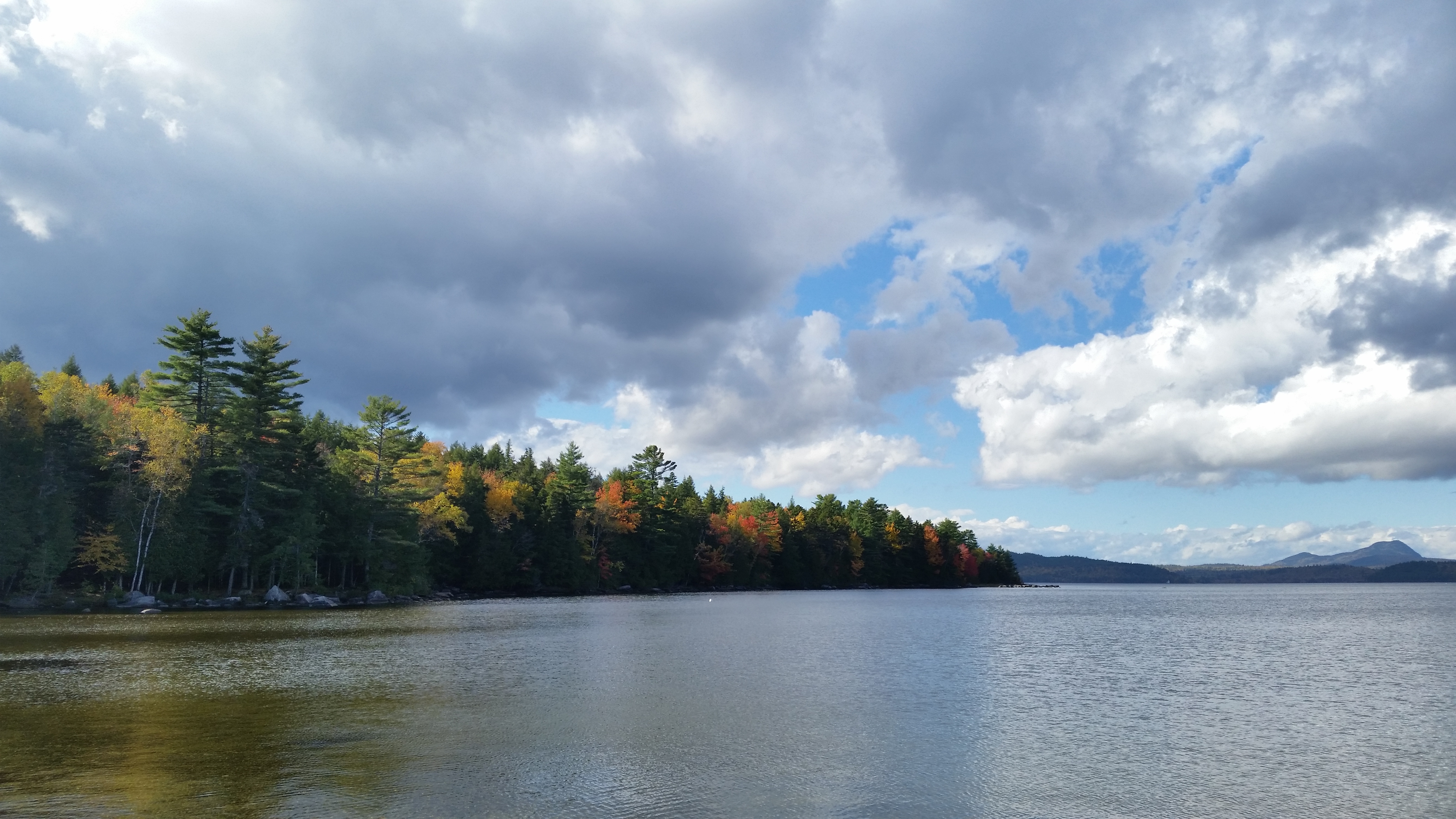
Sebec Lake, Peaks-Kenny State Park
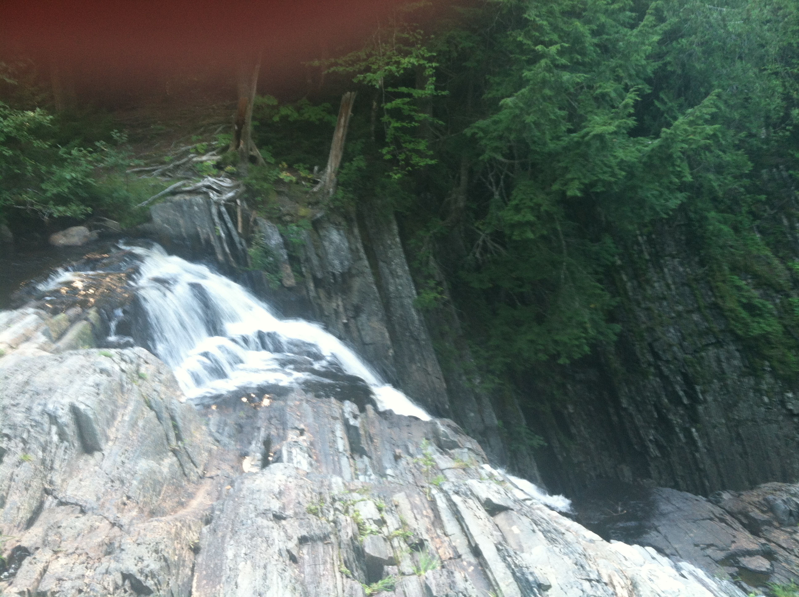
Little Wilson falls, Elliotsville, ME
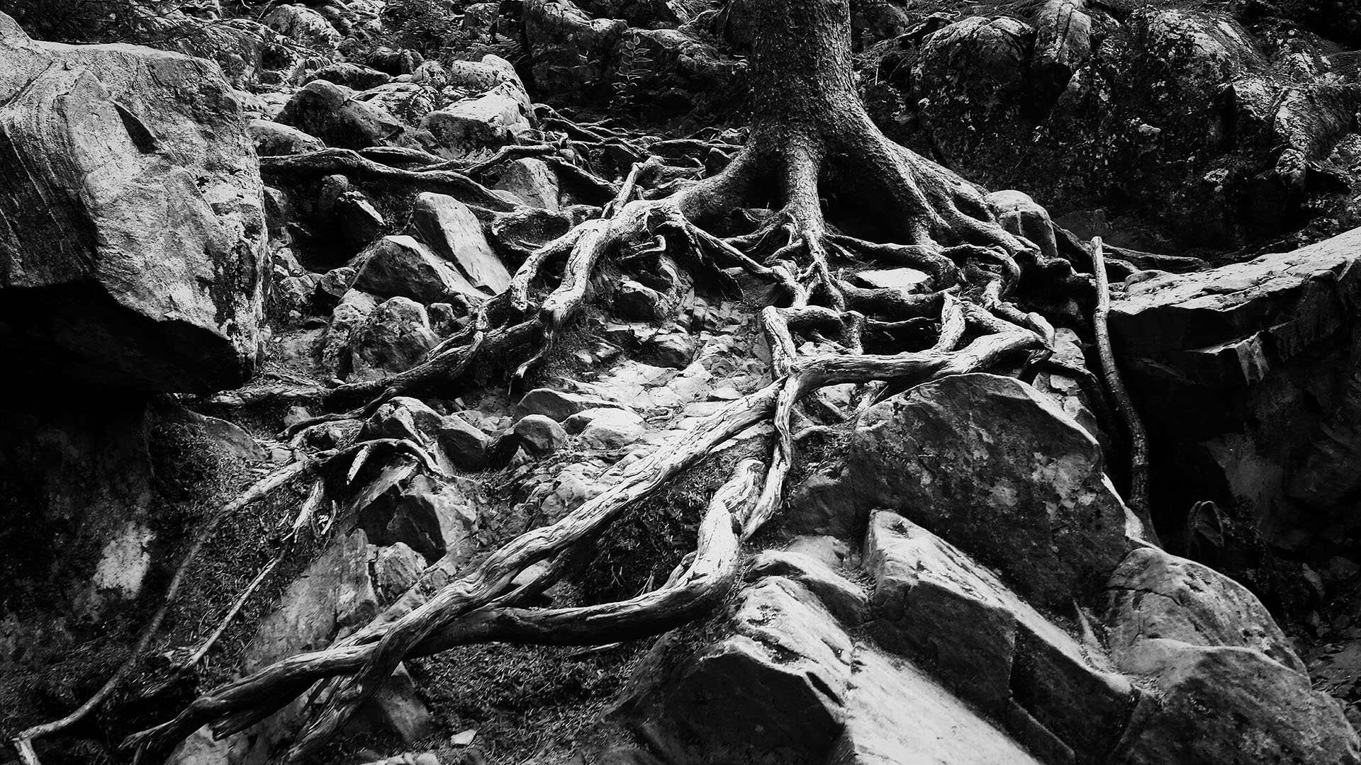
Tree roots at Borestone
228484406618764083_65872320130521-3955-1x8p71y

Little Wilson, tannic water, near Elliotsville, ME

Sebec Lake, Peaks-Kenny State Park

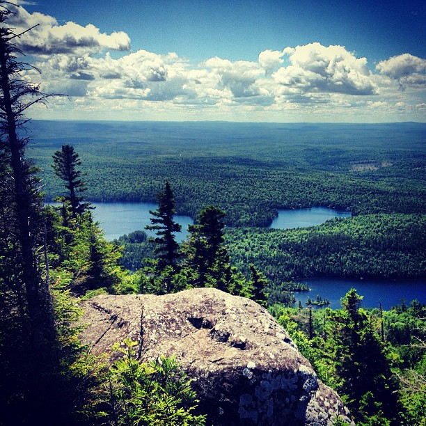
Onawa Lake, as seen from Borestone

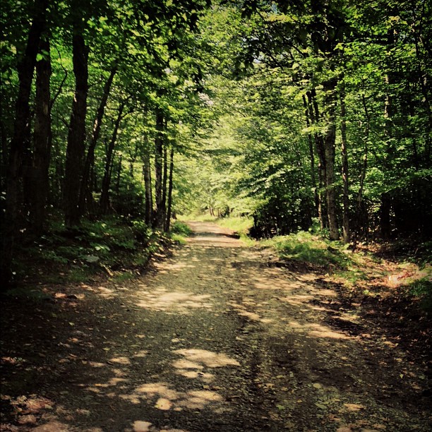
Stairs in the forest
2012-08-25 17.28.15
Little Wilson Stream

Goodell Brook Fall #2
100 Mile Wilderness and Mt. Katahdin summit
Little Wilson Falls -04

100 Mile Wilderness and Mt. Katahdin summit
Topographic Map of Sebec Lake Rd, Willimantic, ME, USA
Find elevation by address:
Places near Sebec Lake Rd, Willimantic, ME, USA:
Maine
78 Water St
Monson
Tenney Hill Rd, Abbot, ME, USA
Abbot
Fire Ln 3
Sebec Lake
Guilford
Sangerville
65 Mcdonald Rd
Parkman
15 Libby Ln
Greeleys Landing Road
728 Crow Hill Rd
481 Crow Hill Rd
2 Cotton Brook Rd, Dover-Foxcroft, ME, USA
30 Borestone View
30 Borestone View
30 Borestone View
34 Spring St
Recent Searches:
- Elevation of Burnt Store Village, Charlotte County, Florida, 33955, USA
- Elevation of 26552, Angelica Road, Punta Gorda, Charlotte County, Florida, 33955, USA
- Elevation of 104, Chancery Road, Middletown Township, Bucks County, Pennsylvania, 19047, USA
- Elevation of 1212, Cypress Lane, Dayton, Liberty County, Texas, 77535, USA
- Elevation map of Central Hungary, Hungary
- Elevation map of Pest, Central Hungary, Hungary
- Elevation of Pilisszentkereszt, Pest, Central Hungary, Hungary
- Elevation of Dharamkot Tahsil, Punjab, India
- Elevation of Bhinder Khurd, Dharamkot Tahsil, Punjab, India
- Elevation of 2881, Chabot Drive, San Bruno, San Mateo County, California, 94066, USA
- Elevation of 10370, West 107th Circle, Westminster, Jefferson County, Colorado, 80021, USA
- Elevation of 611, Roman Road, Old Ford, Bow, London, England, E3 2RW, United Kingdom
- Elevation of 116, Beartown Road, Underhill, Chittenden County, Vermont, 05489, USA
- Elevation of Window Rock, Colfax County, New Mexico, 87714, USA
- Elevation of 4807, Rosecroft Street, Kempsville Gardens, Virginia Beach, Virginia, 23464, USA
- Elevation map of Matawinie, Quebec, Canada
- Elevation of Sainte-Émélie-de-l'Énergie, Matawinie, Quebec, Canada
- Elevation of Rue du Pont, Sainte-Émélie-de-l'Énergie, Matawinie, Quebec, J0K2K0, Canada
- Elevation of 8, Rue de Bécancour, Blainville, Thérèse-De Blainville, Quebec, J7B1N2, Canada
- Elevation of Wilmot Court North, 163, University Avenue West, Northdale, Waterloo, Region of Waterloo, Ontario, N2L6B6, Canada