Elevation of 116, Beartown Road, Underhill, Chittenden County, Vermont, 05489, USA
Location: United States > Vermont > Chittenden County > Underhill >
Longitude: -72.8858442
Latitude: 44.4997107
Elevation: 316m / 1037feet
Barometric Pressure: 0KPa
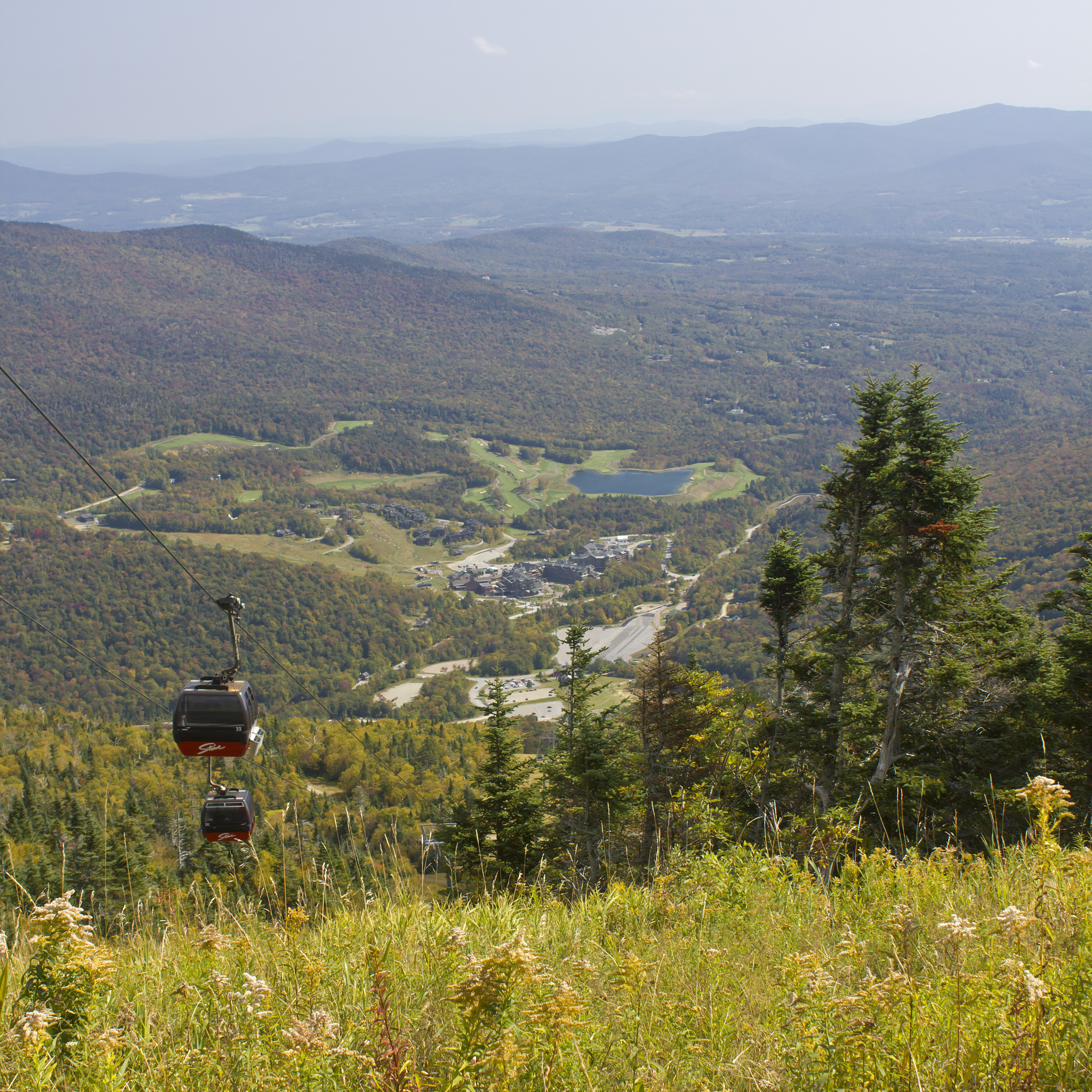
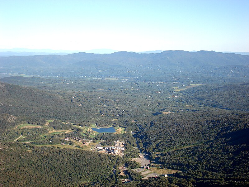
Related Photos:

20220604_22pa

20220604_27a
Light in the Window

20220604_23a
Peak Vermont

House in the Mountains (DSH_5786)

Scottish Cattle in Green Mountains (DSH_5846-53)

Hills of Vermont

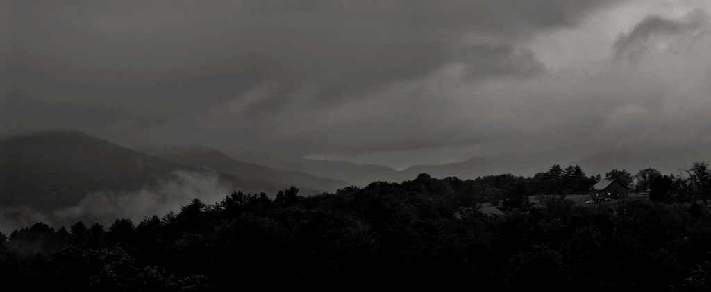
Vermont Pano
Elephant's Head Cliff Lookout

Omni Autumn

View from Mount Mansfield, Vermont

The view! #Vagcation4 #Snatchlorette #Setteingdown

Upper Chilcoot View

A Side-View of the Grist Mill Covered Bridge, Green Mountains, Vermont (VT) (DSH_5400-01)

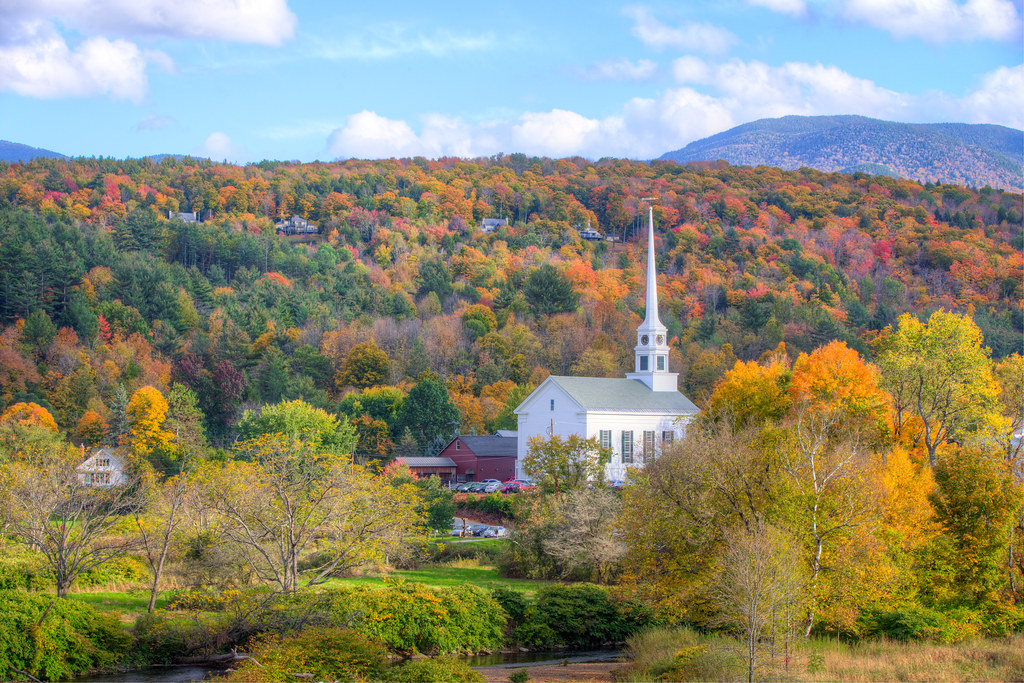
Vermont Fall Foliage 6

Road into Foggy Uncertainty (DSH_5313)

Cool Dawn, Green Mountains in Blue (DSH_5593)

Brewster River Gorge

Out On Top
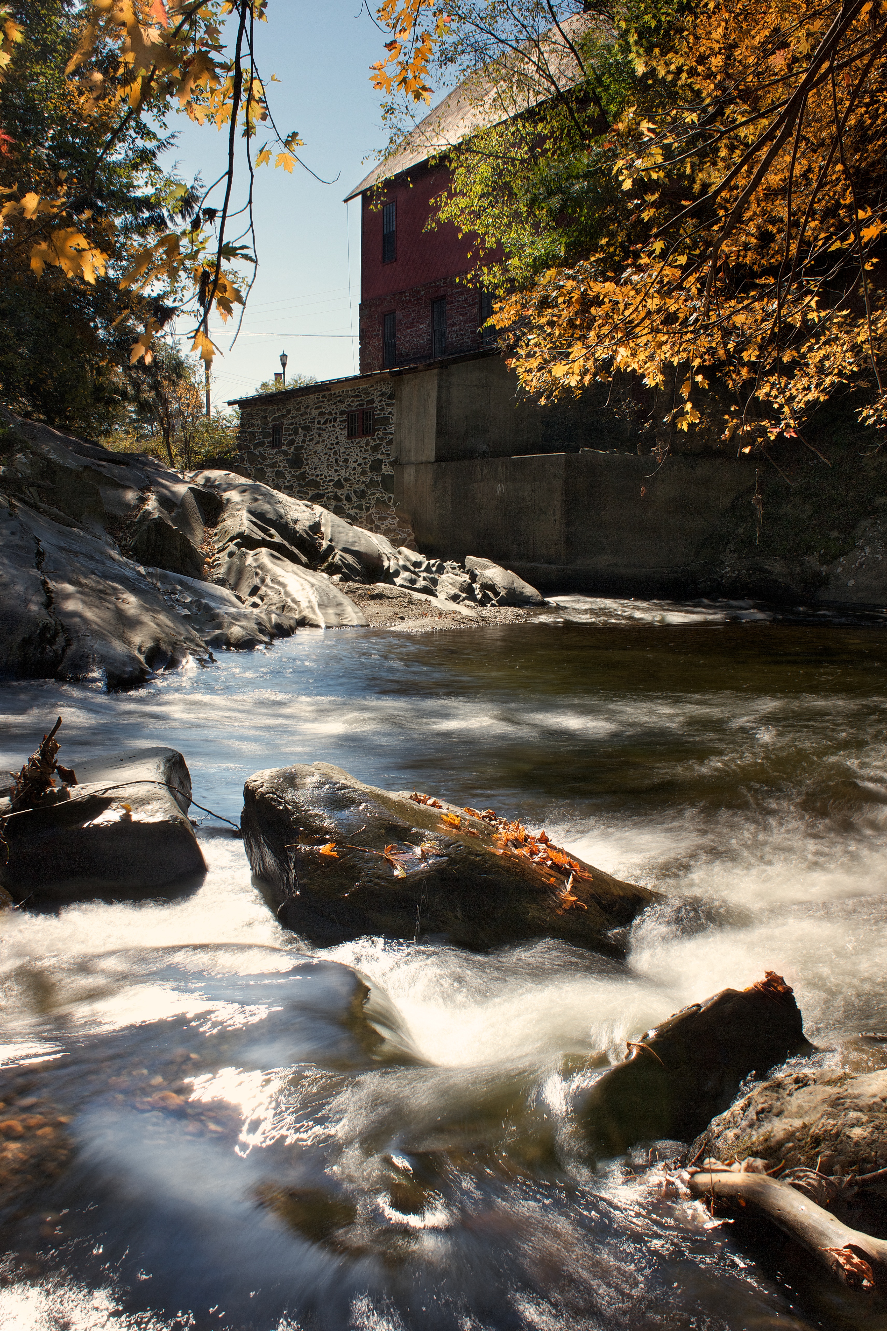
Old Red Mill

River View

View west to Lake Champlain from Mount Mansfield, Stowe, Vermont

View from Adam's Apple

View from Adam's Apple

View from Adam's Apple
View From Mount Mansfield
View from Adam's Apple

View from Adam's Apple

Montreal from Mount Mansfield

View From Mount Mansfield

View towards Stowe from Mount Mansfield, Vermont

Nebraska Notch Panorama

Early Fall Colours

100 mile view

Mount Mansfield, Chittenden County/Lamoille County (Vt.), 22 July 2013

Ski Runs on Mount Mansfield

Beautiful view of Mount Mansfield, Vermont

Vermont 2 005-5x7

Beautiful View

Mount Mansfield, Chittenden County/Lamoille County (Vt.), 22 July 2013

1995-pwl-sheet024-17

West Branch Little River

C130 viewed from Mt. Mansfield, Vermont

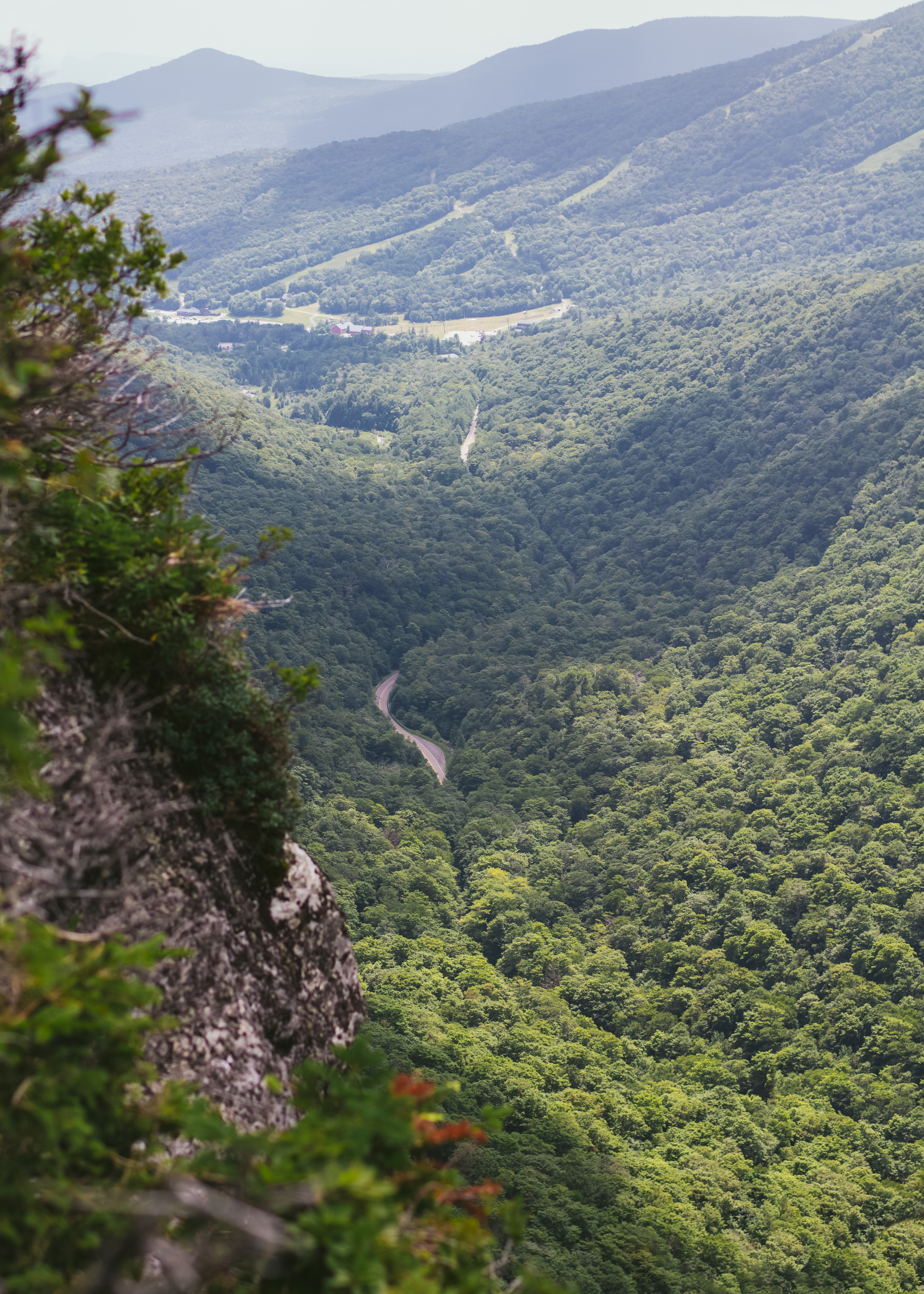
View of Smuggler's Notch
Topographic Map of 116, Beartown Road, Underhill, Chittenden County, Vermont, 05489, USA
Find elevation by address:

Places near 116, Beartown Road, Underhill, Chittenden County, Vermont, 05489, USA:
51 Beartown Rd
195 Mountain Rd
Underhill
368 Irish Settlement Rd
103 Irish Settlement Rd
70 Maple Leaf Rd
150 Irish Settlement Rd
99 Lower English Settlement Rd
Mount Clark
368 Irish Settlement Rd
9 Mins Ln
453 Pleasant Valley Rd
Mills Riverside Park
Dewey Mountain
476 Vt-15
Xenophon Drive
Mt Mansfield Peak Visitor Center
7 Hawk Ridge
34 Foothills Dr
33 Foothills Dr
Recent Searches:
- Elevation of 10370, West 107th Circle, Westminster, Jefferson County, Colorado, 80021, USA
- Elevation of 611, Roman Road, Old Ford, Bow, London, England, E3 2RW, United Kingdom
- Elevation of 116, Beartown Road, Underhill, Chittenden County, Vermont, 05489, USA
- Elevation of Window Rock, Colfax County, New Mexico, 87714, USA
- Elevation of 4807, Rosecroft Street, Kempsville Gardens, Virginia Beach, Virginia, 23464, USA
- Elevation map of Matawinie, Quebec, Canada
- Elevation of Sainte-Émélie-de-l'Énergie, Matawinie, Quebec, Canada
- Elevation of Rue du Pont, Sainte-Émélie-de-l'Énergie, Matawinie, Quebec, J0K2K0, Canada
- Elevation of 8, Rue de Bécancour, Blainville, Thérèse-De Blainville, Quebec, J7B1N2, Canada
- Elevation of Wilmot Court North, 163, University Avenue West, Northdale, Waterloo, Region of Waterloo, Ontario, N2L6B6, Canada
- Elevation map of Panamá Province, Panama
- Elevation of Balboa, Panamá Province, Panama
- Elevation of San Miguel, Balboa, Panamá Province, Panama
- Elevation of Isla Gibraleón, San Miguel, Balboa, Panamá Province, Panama
- Elevation of 4655, Krischke Road, Schulenburg, Fayette County, Texas, 78956, USA
- Elevation of Carnegie Avenue, Downtown Cleveland, Cleveland, Cuyahoga County, Ohio, 44115, USA
- Elevation of Walhonding, Coshocton County, Ohio, USA
- Elevation of Clifton Down, Clifton, Bristol, City of Bristol, England, BS8 3HU, United Kingdom
- Elevation map of Auvergne-Rhône-Alpes, France
- Elevation map of Upper Savoy, Auvergne-Rhône-Alpes, France