Elevation map of Piscataquis County, ME, USA
Location: United States > Maine >
Longitude: -69.337507
Latitude: 45.7049857
Elevation: 416m / 1365feet
Barometric Pressure: 96KPa
Elevation Map:
Satellite Map:
Related Photos:
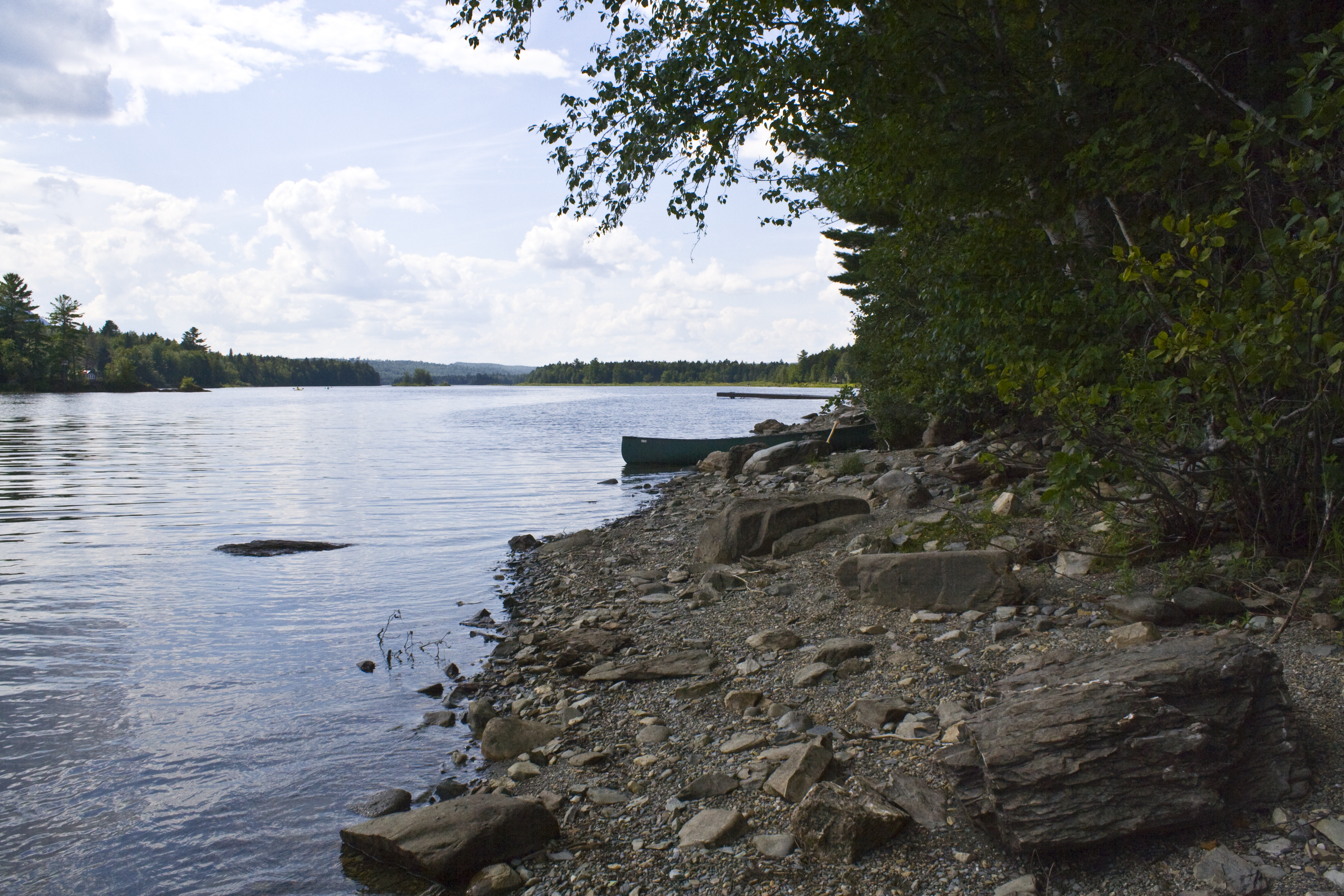
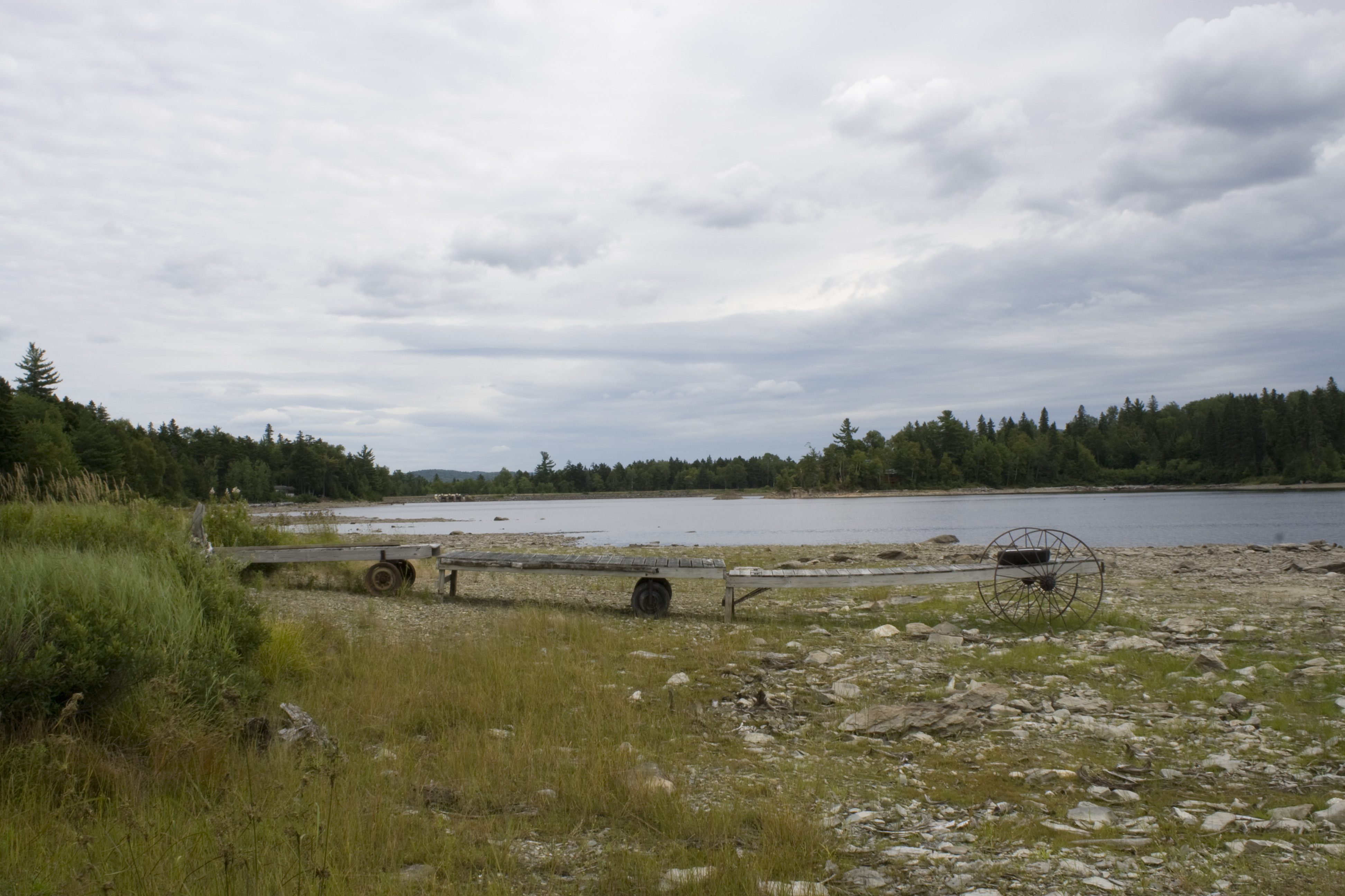
First Roach Pond
2006 Aug epic maine trip with Ross - North of Moosehead Lake
2006 Aug epic maine trip with Ross. (40)
Kokadjo No1
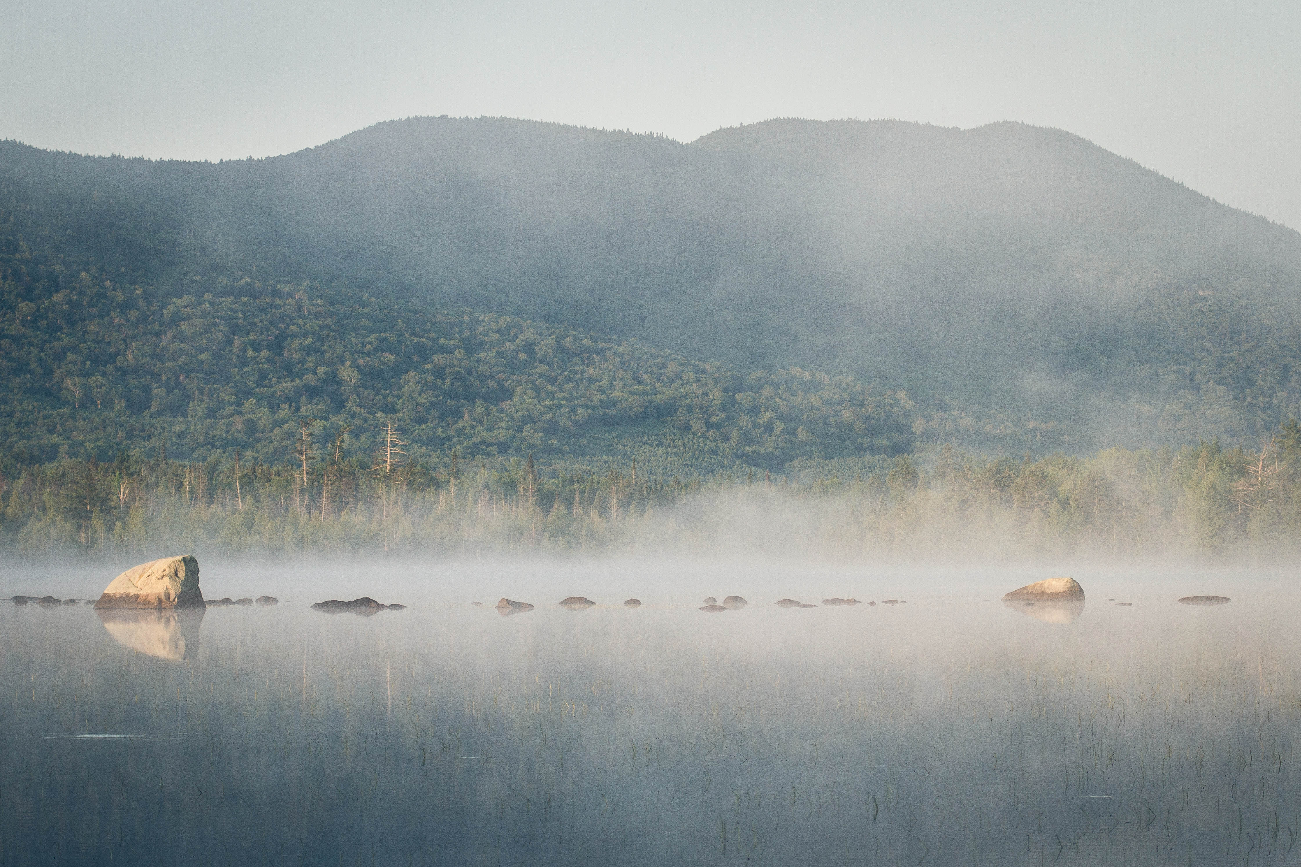
Morning Mist on the Lake II
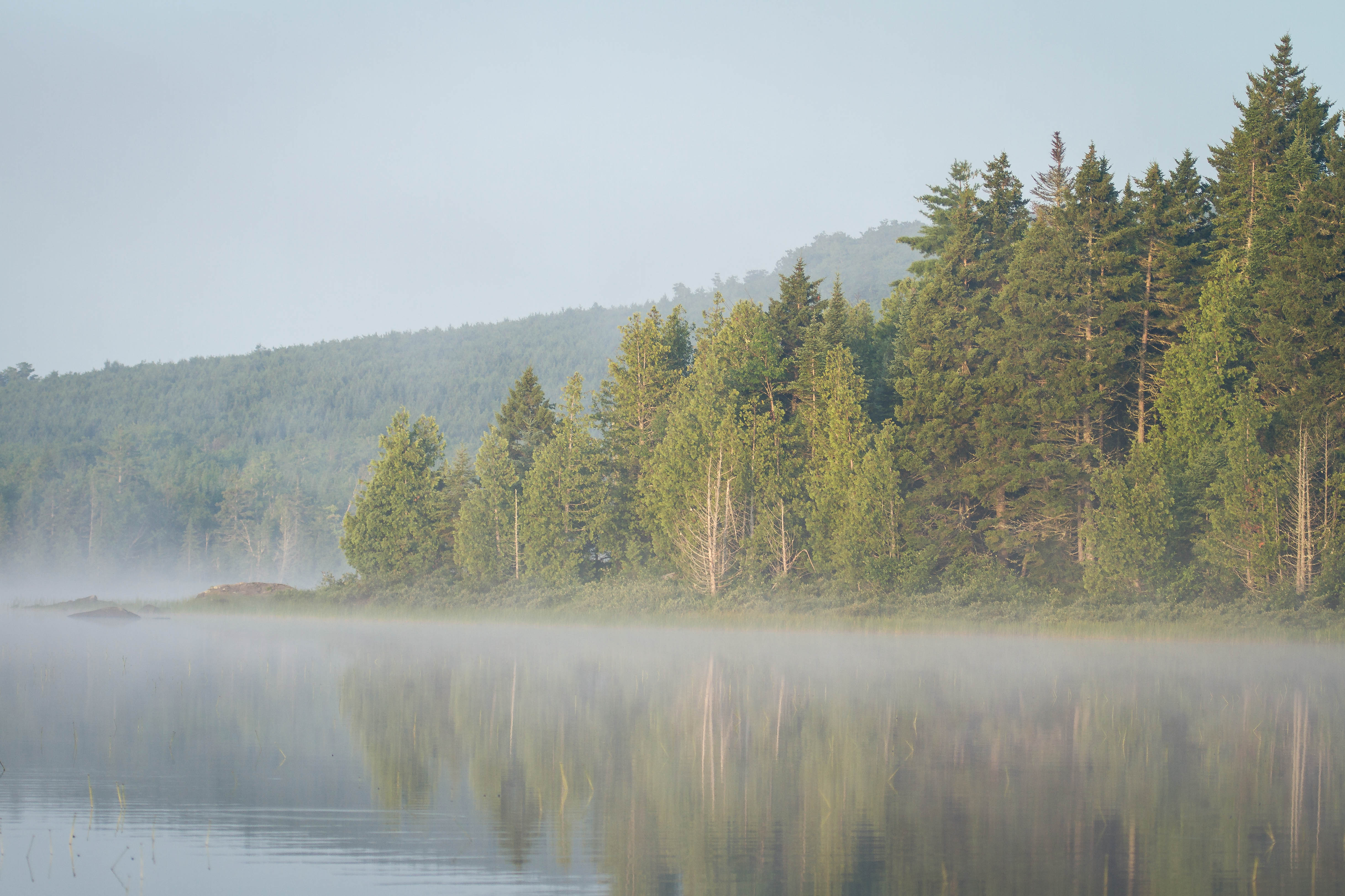
Morning Mist on the Lake
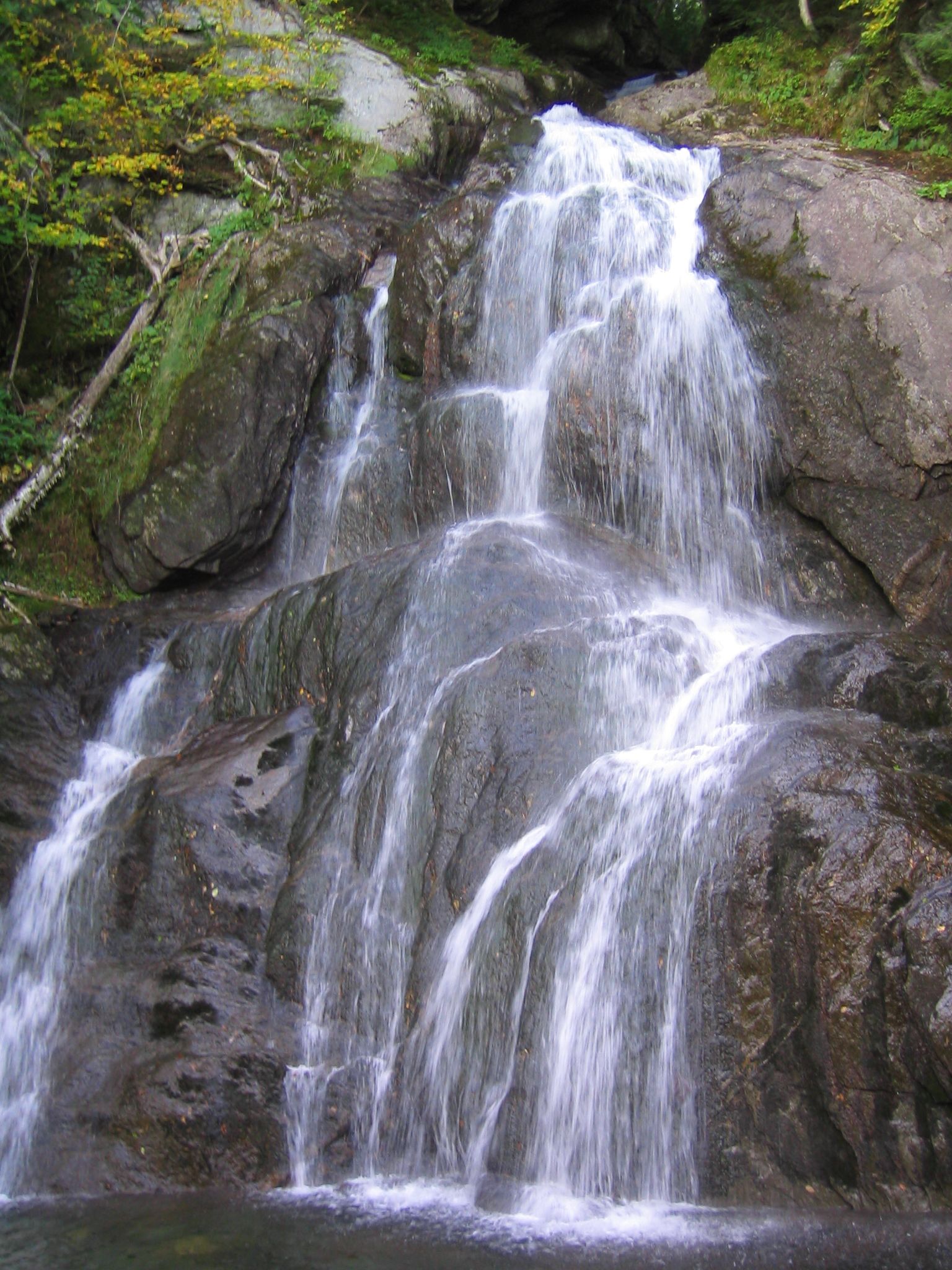
Falling Water
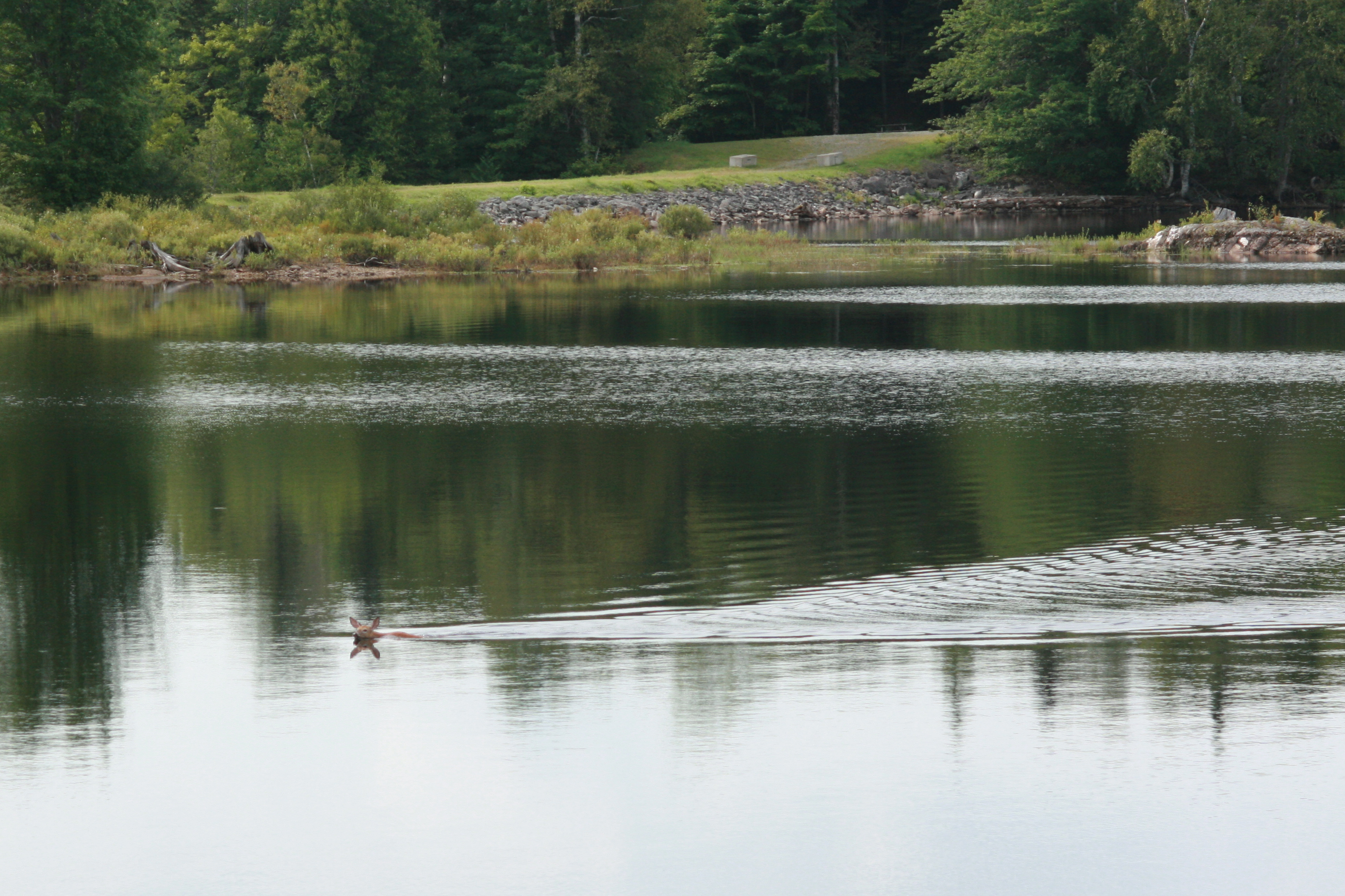
Swimming deer
Ragged Lake
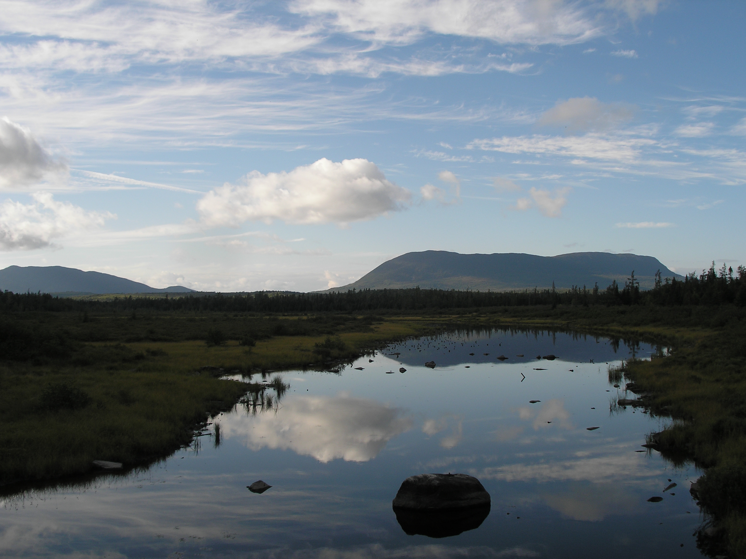
Lazy Tom Bog

2005 Aug Maine trip with Lacey (14)
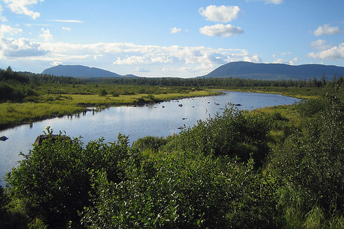
Lazy Tom's Bog

Ragged Lake

Ragged Lake
Ragged Lake
Ragged Lake
Ragged Lake
Ragged Lake

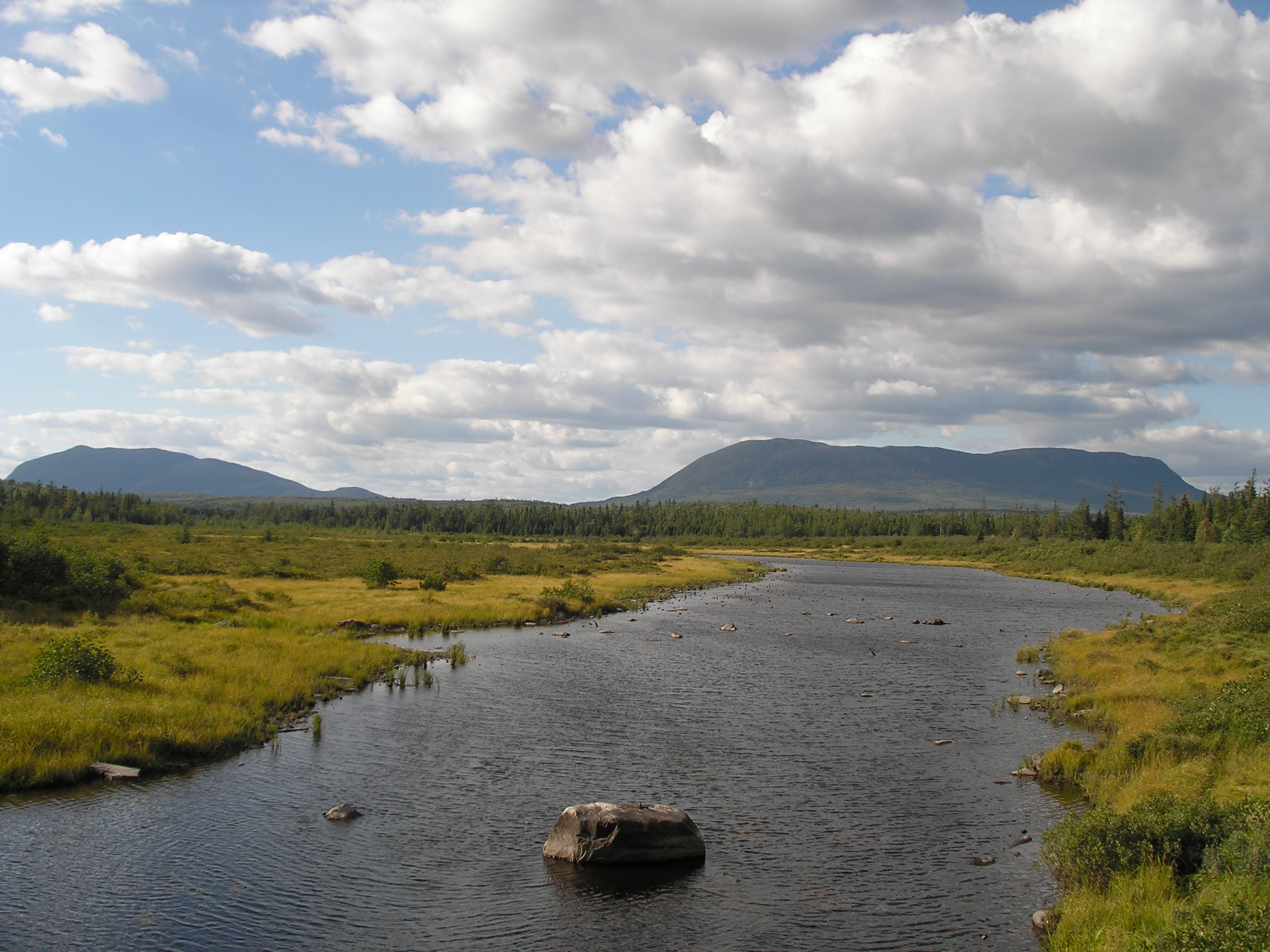
1st West Branch, Kokadjo Maine

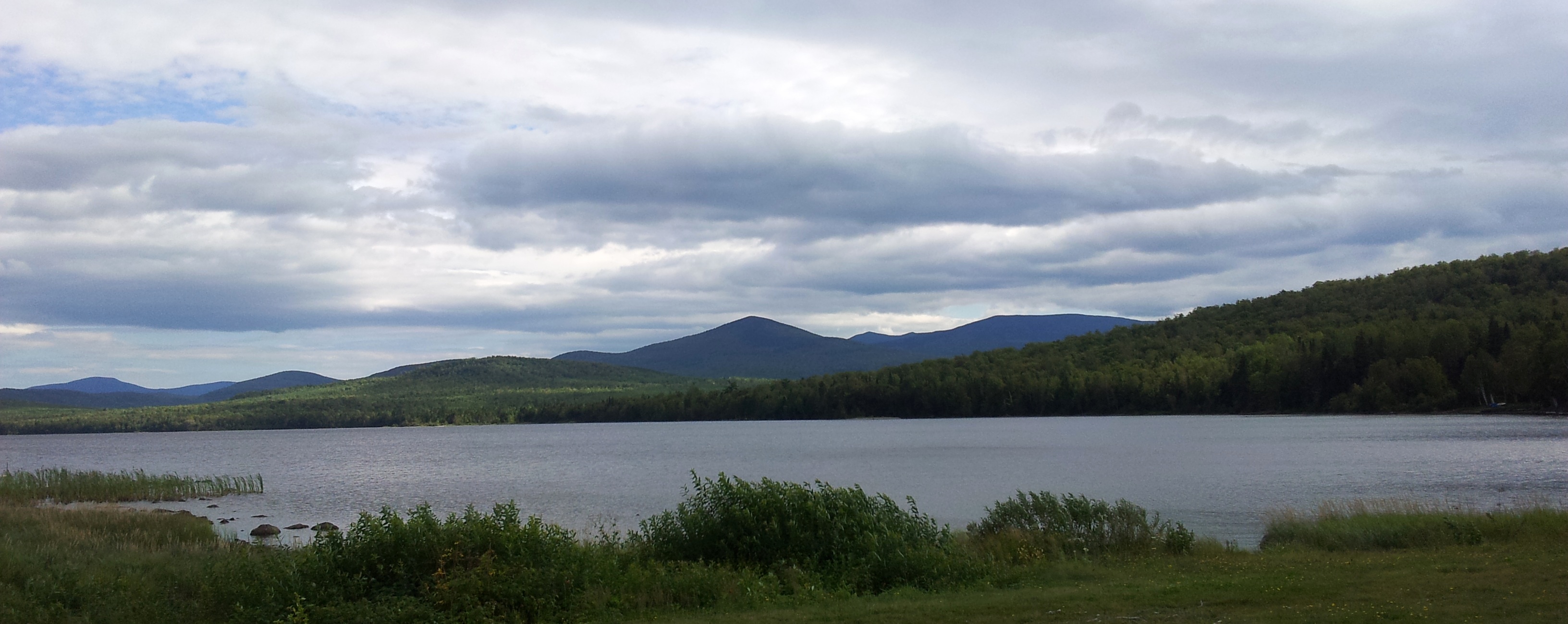
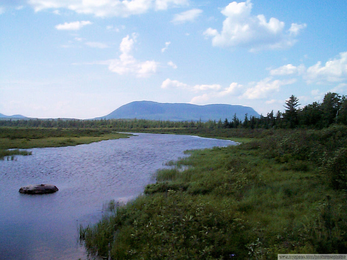
Mountains Over First Roach Pond

2006 Aug epic maine trip with Ross. (13)

Swimming deer
Topographic Map of Piscataquis County, ME, USA
Find elevation by address:

Places in Piscataquis County, ME, USA:
Greenville
Southeast Piscataquis
Sebec
Abbot
Sangerville
Dover-foxcroft
Milo
27 Church St, Brownville, ME, USA
Schoodic Lake Dam
Sebec Lake Rd, Willimantic, ME, USA
2 Cotton Brook Rd, Dover-Foxcroft, ME, USA
Monson
Northeast Piscataquis
Jo-mary Mountain
Davis Street
Davis Street
Davis Street
Parkman
Guilford
Places near Piscataquis County, ME, USA:
Henderson Pond
Jo-mary Mountain
73 Nelson Ave
73 Nelson Ave
Blair Hill Inn, Moosehead Lake
Northeast Piscataquis
10 Cottage St
Greenville
46 Mayhew Manor Rd
Rockwood
Sebec Lake
Sebec Lake Rd, Willimantic, ME, USA
The Owl
Davis Street
Davis Street
Davis Street
78 Water St
Monson
281 The Birches Rd
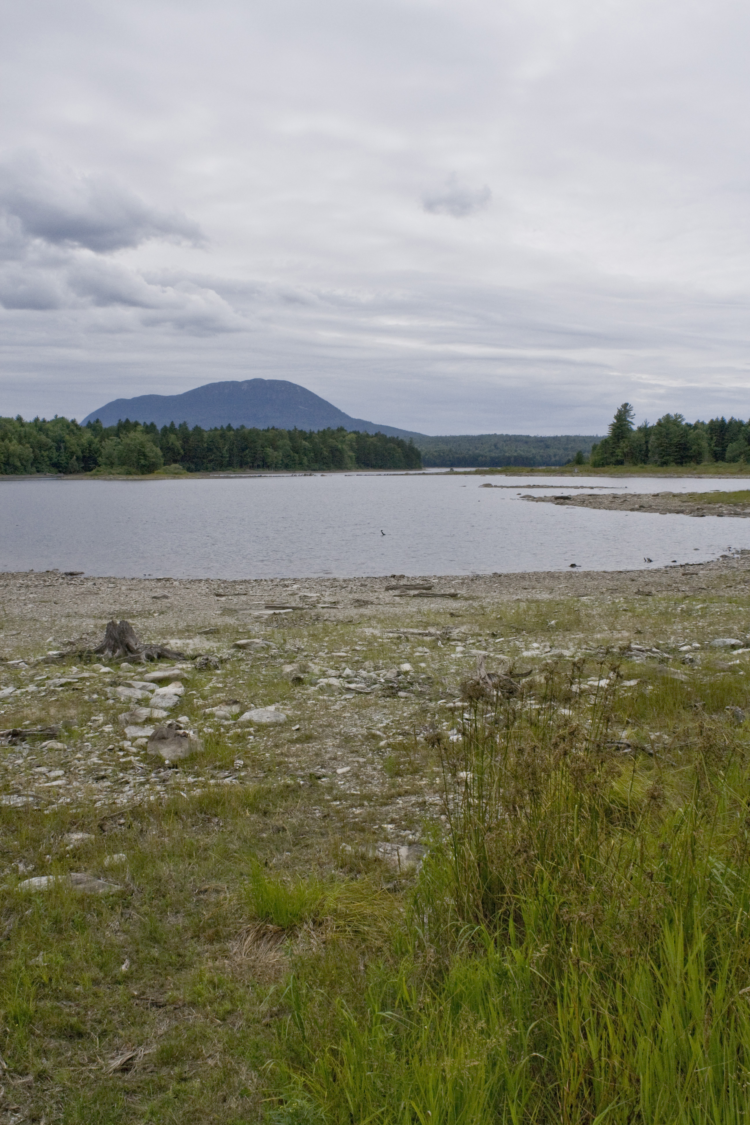
Mount Katahdin
Recent Searches:
- Elevation of Corso Fratelli Cairoli, 35, Macerata MC, Italy
- Elevation of Tallevast Rd, Sarasota, FL, USA
- Elevation of 4th St E, Sonoma, CA, USA
- Elevation of Black Hollow Rd, Pennsdale, PA, USA
- Elevation of Oakland Ave, Williamsport, PA, USA
- Elevation of Pedrógão Grande, Portugal
- Elevation of Klee Dr, Martinsburg, WV, USA
- Elevation of Via Roma, Pieranica CR, Italy
- Elevation of Tavkvetili Mountain, Georgia
- Elevation of Hartfords Bluff Cir, Mt Pleasant, SC, USA