Elevation of Monson, ME, USA

Location: United States > Maine > Piscataquis County >

Longitude: -69.501161

Latitude: 45.2869936

Elevation: 262m / 860feet

Barometric Pressure: 98KPa

Elevation Map:

elevation map of Monson, ME, USA

Satellite Map:

Satellite map of Monson, ME, USA

Related Photos:

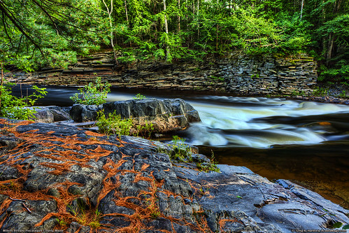
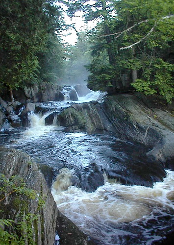
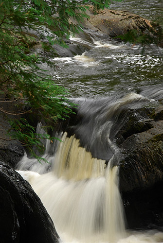
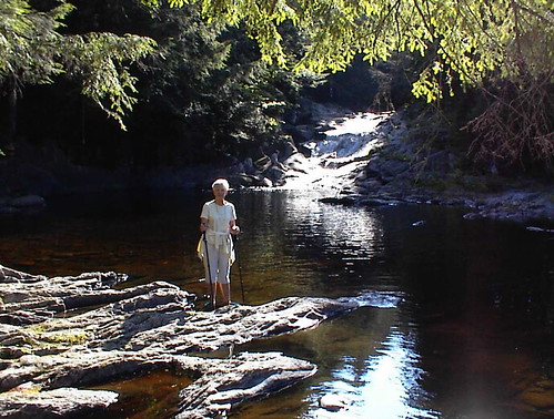
nature water river landscape stream maine foundation flowing slate wilderness gristmill flowingwater oldfoundation piscataquis piscataquiscounty oldgristmill wilsonstream
Wilson Stream in Maine
truck radio maine tools nitro remotecontrol rc tmaxx traxxas abbot mymostinteresting rustler stagedforblogging fullthrottleracing
Pit row
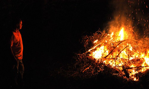
red party orange lake hot night dark fire nikon branch glow looking father maine warmth flame parent bonfire heat stick monson pyro spark viewing d90
Fire God
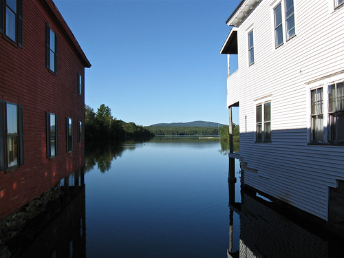
Lake Hebron
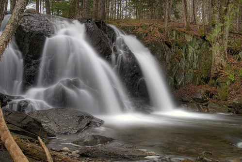
waterfall maine explore hdr abbot 3xp piscataquiscounty galesbrook galesbrookfalls
Gales Brook Falls
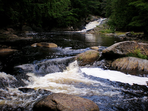
waterfall maine littlewilson 100milewilderness piscataquiscounty elliotsville littlewilsonstream
Little Wilson Stream
lake photography nikon maine infrared greenville moosehead d300 d60 p7000
Greenville Maine -02
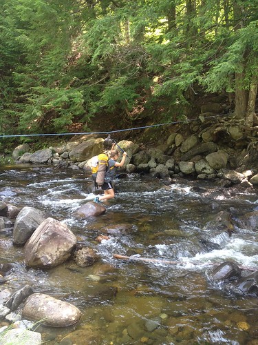
swimming waterfall maine ropeswing littlewilson piscataquis 100milewilderness
Lower Little Wilson Swim Hole
uploaded:by=flickstagram instagram:photo=228491490873717648658723 instagram:venue_name=borestonemountain instagram:venue=4513373
228491490873717648_65872320130521-3955-196toar
uploaded:by=flickstagram instagram:venue_name=borestonemountain instagram:venue=4513373 instagram:photo=228488472468009835658723
228488472468009835_65872320130521-3955-ux6khf
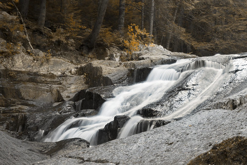
hiking maine waterfalls piscataquiscounty
Little Wilson falls, Elliotsville, ME
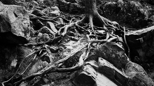
bw mountains hiking maine borestone piscataquiscounty
Tree roots at Borestone
uploaded:by=flickstagram instagram:photo=228484406618764083658723 instagram:venue_name=borestonemountain instagram:venue=4513373
228484406618764083_65872320130521-3955-1x8p71y
landscape hiking maine waterfalls piscataquiscounty
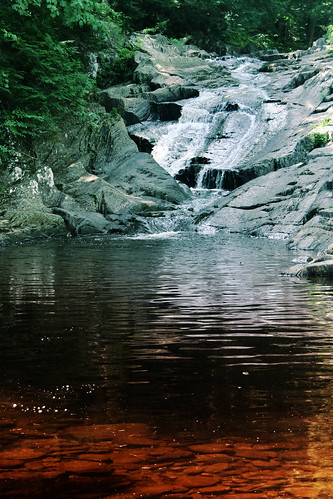
Little Wilson, tannic water, near Elliotsville, ME
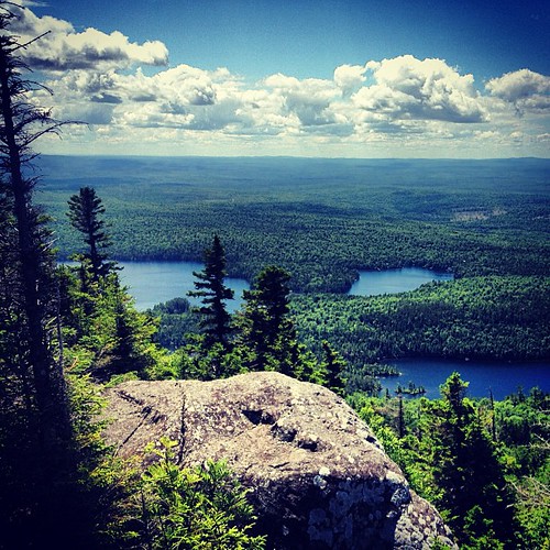
mountains outdoors hiking maine borestone piscataquiscounty
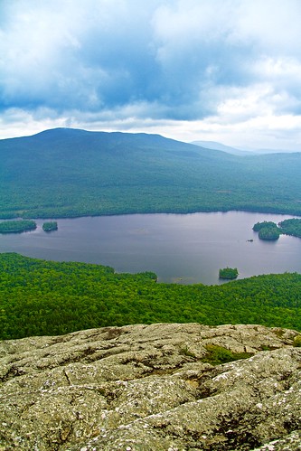
Onawa Lake, as seen from Borestone
uploaded:by=flickstagram instagram:venue_name=borestonemountain instagram:venue=4513373 instagram:photo=228487762179404638658723
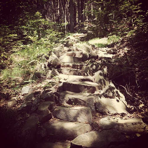
Stairs in the forest
2012-08-25 17.28.15
waterfall maine monson piscataquiscounty goodellbrook
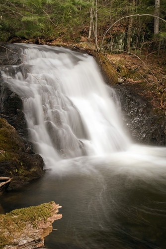
Goodell Brook Fall #2
lake photography nikon maine infrared greenville moosehead d300 d60 p7000 littlewilsonfalls
Little Wilson Falls -04
100 Mile Wilderness and Mt. Katahdin summit
Slate Falls
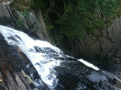
Little Wilson Falls (from the top)
swimming waterfall maine ropeswing littlewilson piscataquis 100milewilderness
Mom at the Rope Swing
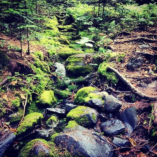
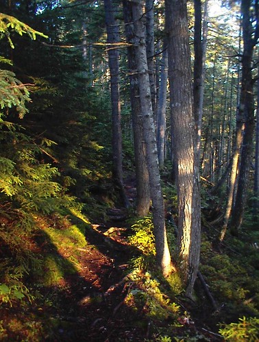
forest moss maine falls trail gorge daybreak littlewilson
Mossy Dawn