Elevation of Sangerville, ME, USA
Location: United States > Maine > Piscataquis County >
Longitude: -69.357317
Latitude: 45.1645956
Elevation: 134m / 440feet
Barometric Pressure: 100KPa
Elevation Map:
Satellite Map:
Related Photos:

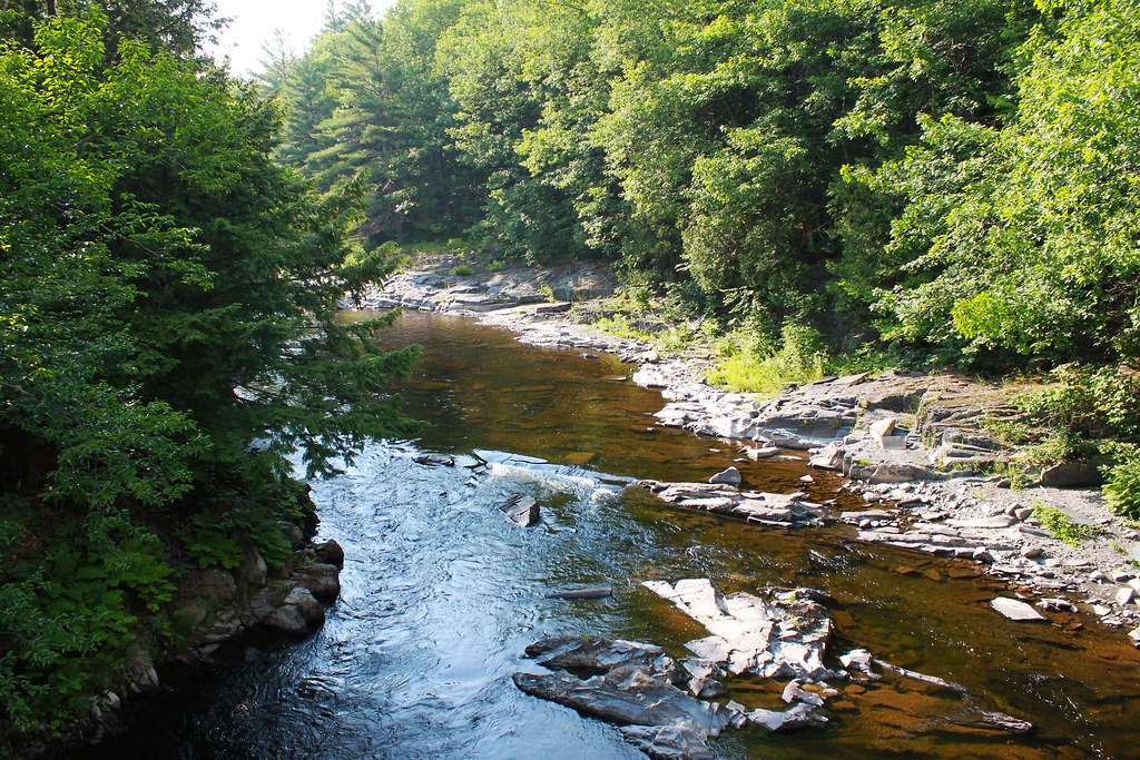
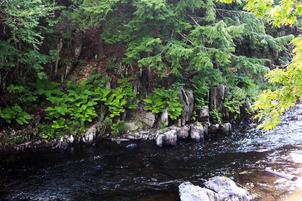
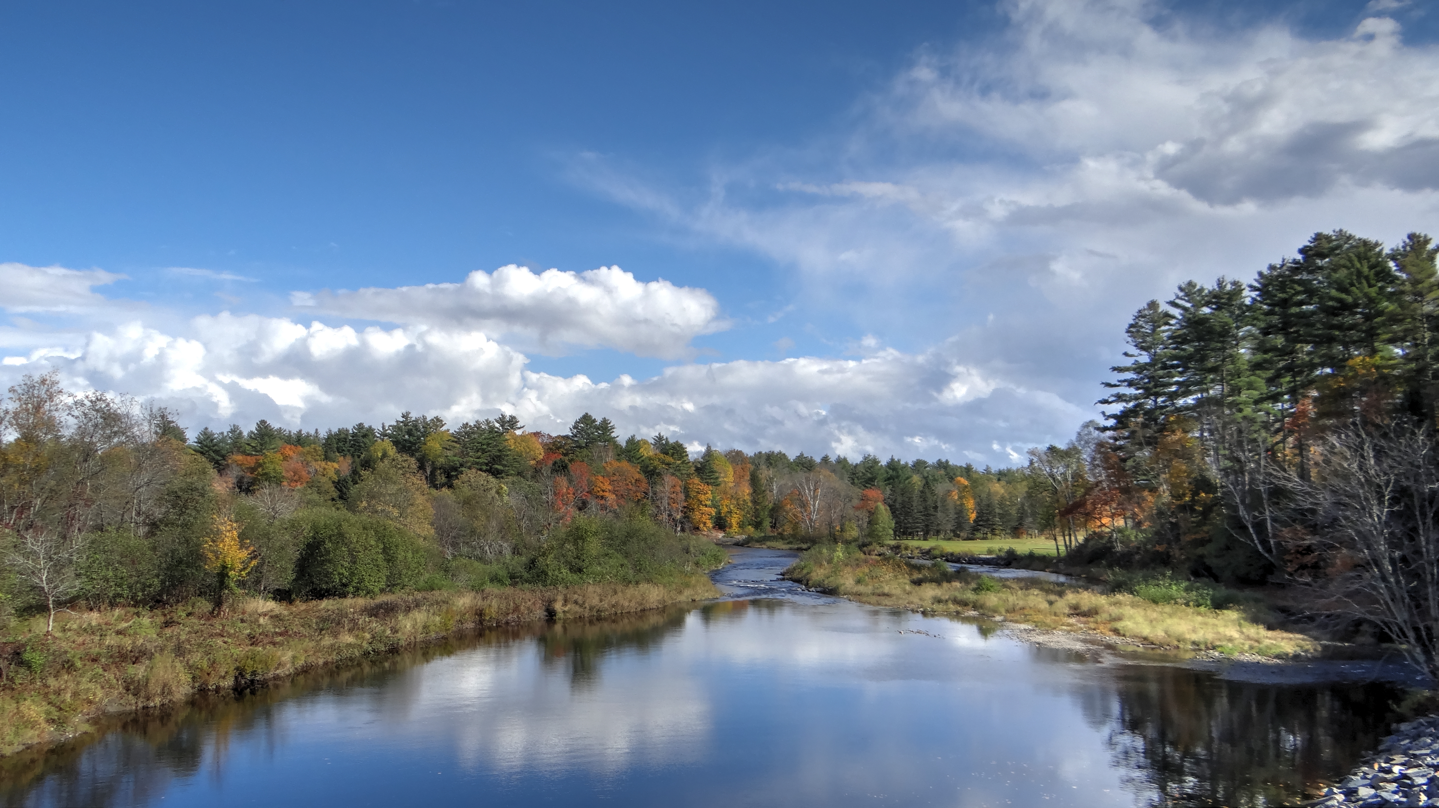
Piscataquis River, Maine USA

Autumn Canopy and Leaves

Autumn Leaves on Old Road

Autumn Harvest of Corn

Autumn Leaves

Pit row

Lesser Goldfinch (Spinus psaltria) at Abbot, Maine

Wilson Stream in Maine

Lesser Goldfinch (Spinus psaltria) at Abbot, Maine

Gales Brook Falls

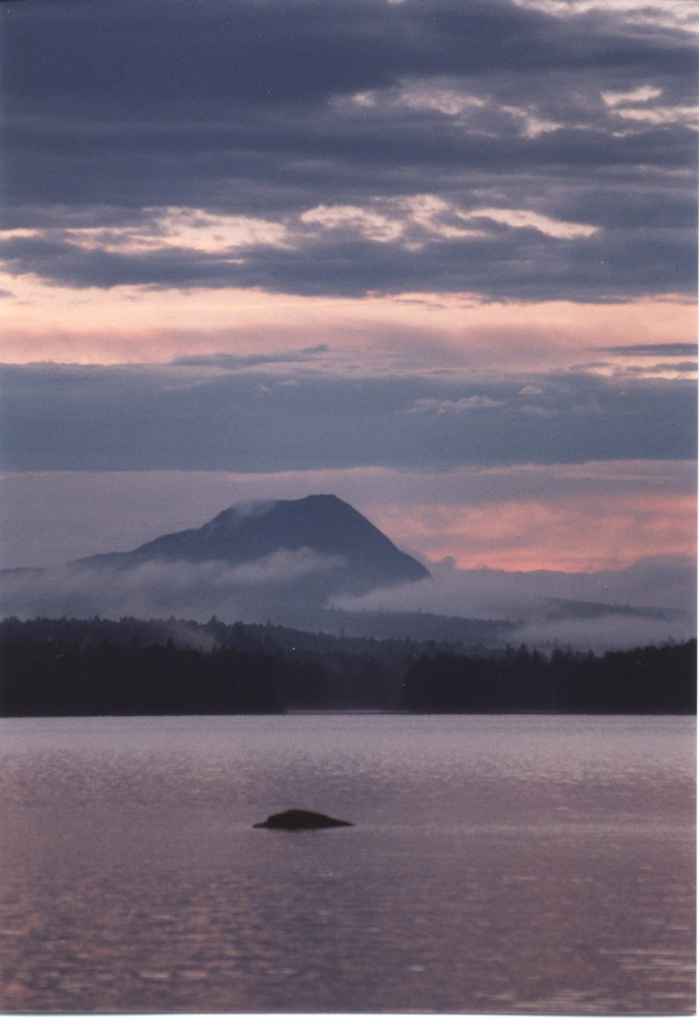
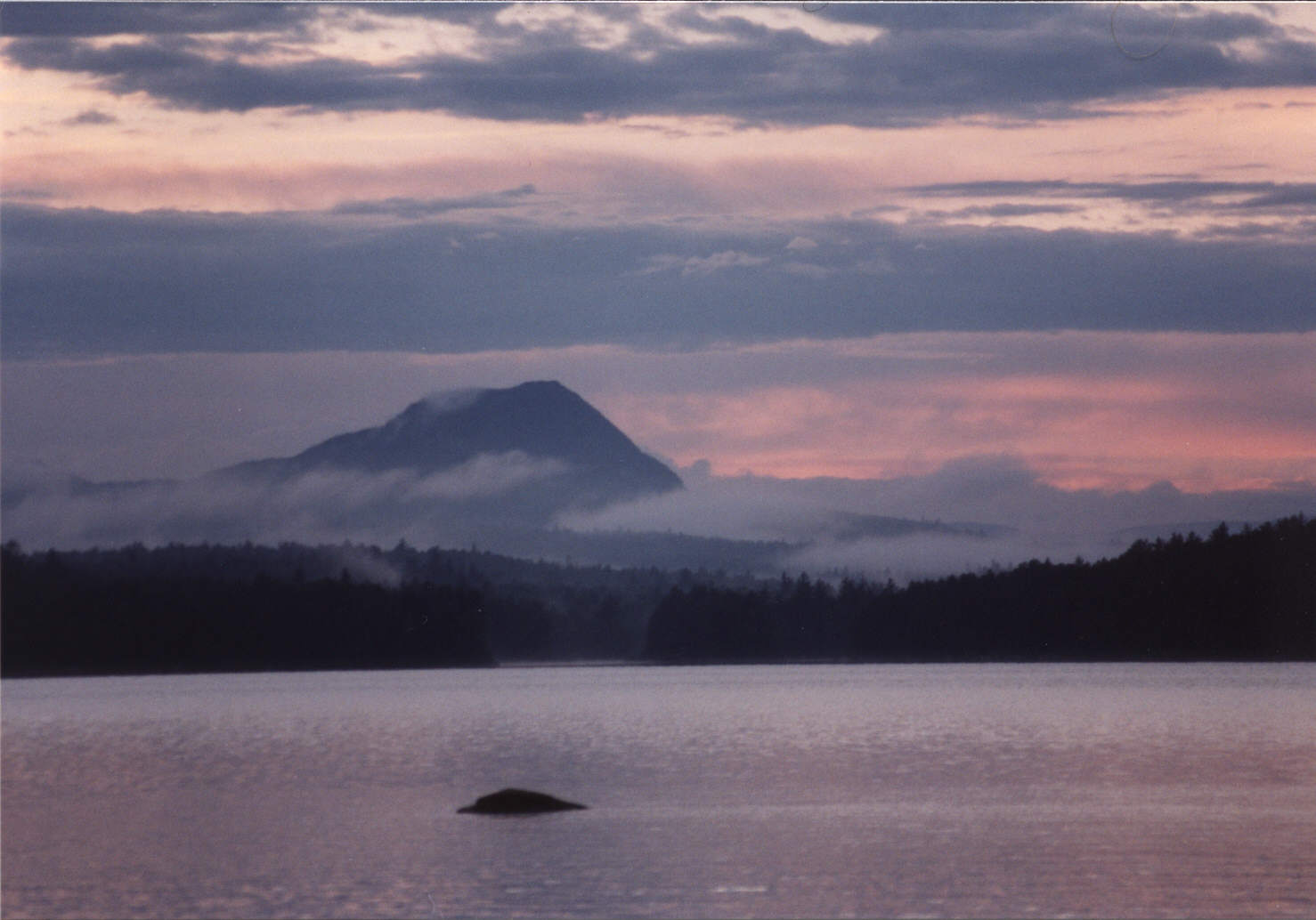
Sunset Piscataquis River

dover foxcroft sunset

Me in Dexter
Big Wilson Stream, Gilford Road, Maine 07122011
Big Wilson Stream2, Gilford Road, Maine 07122011
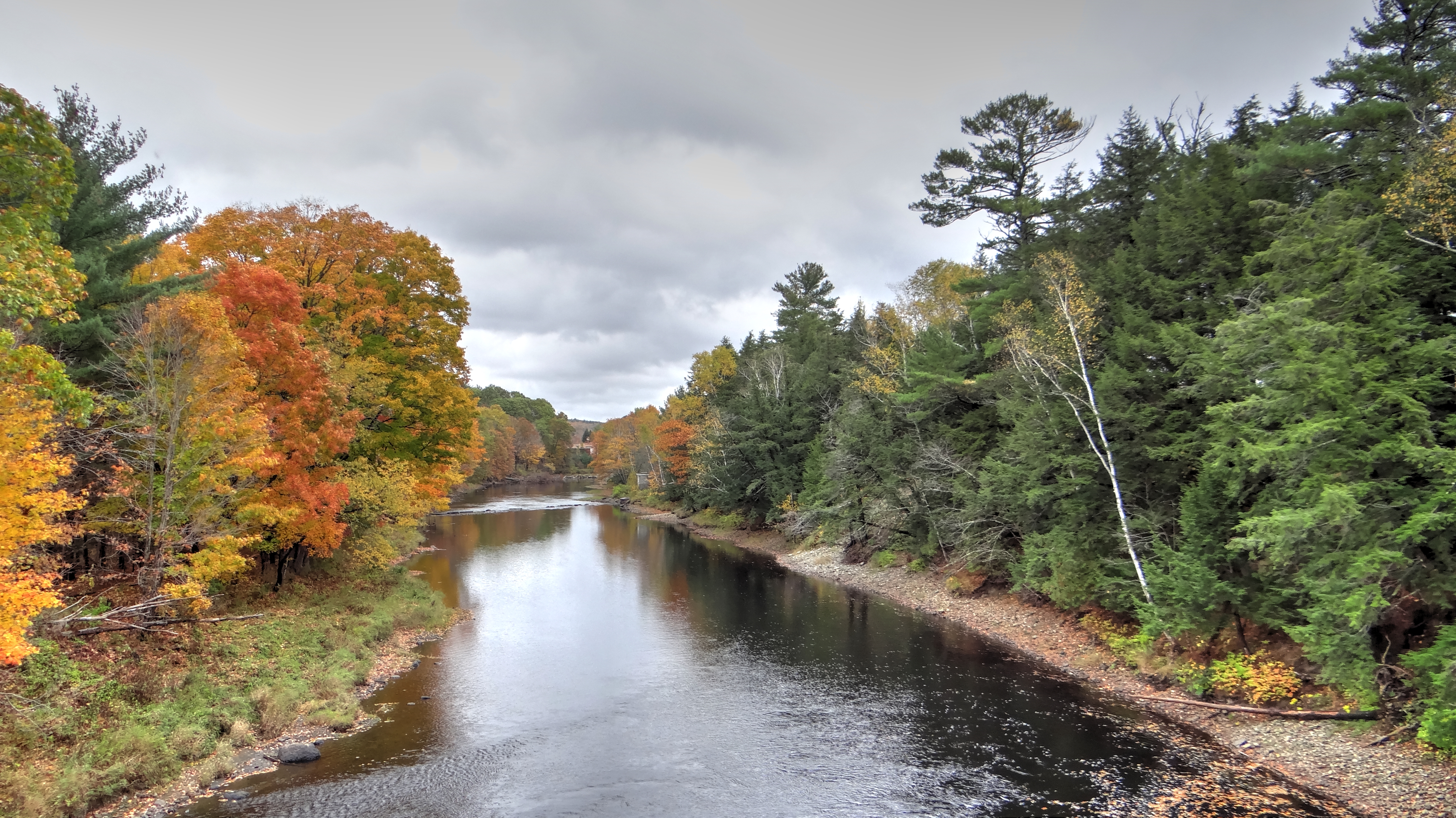
Fall in Maine
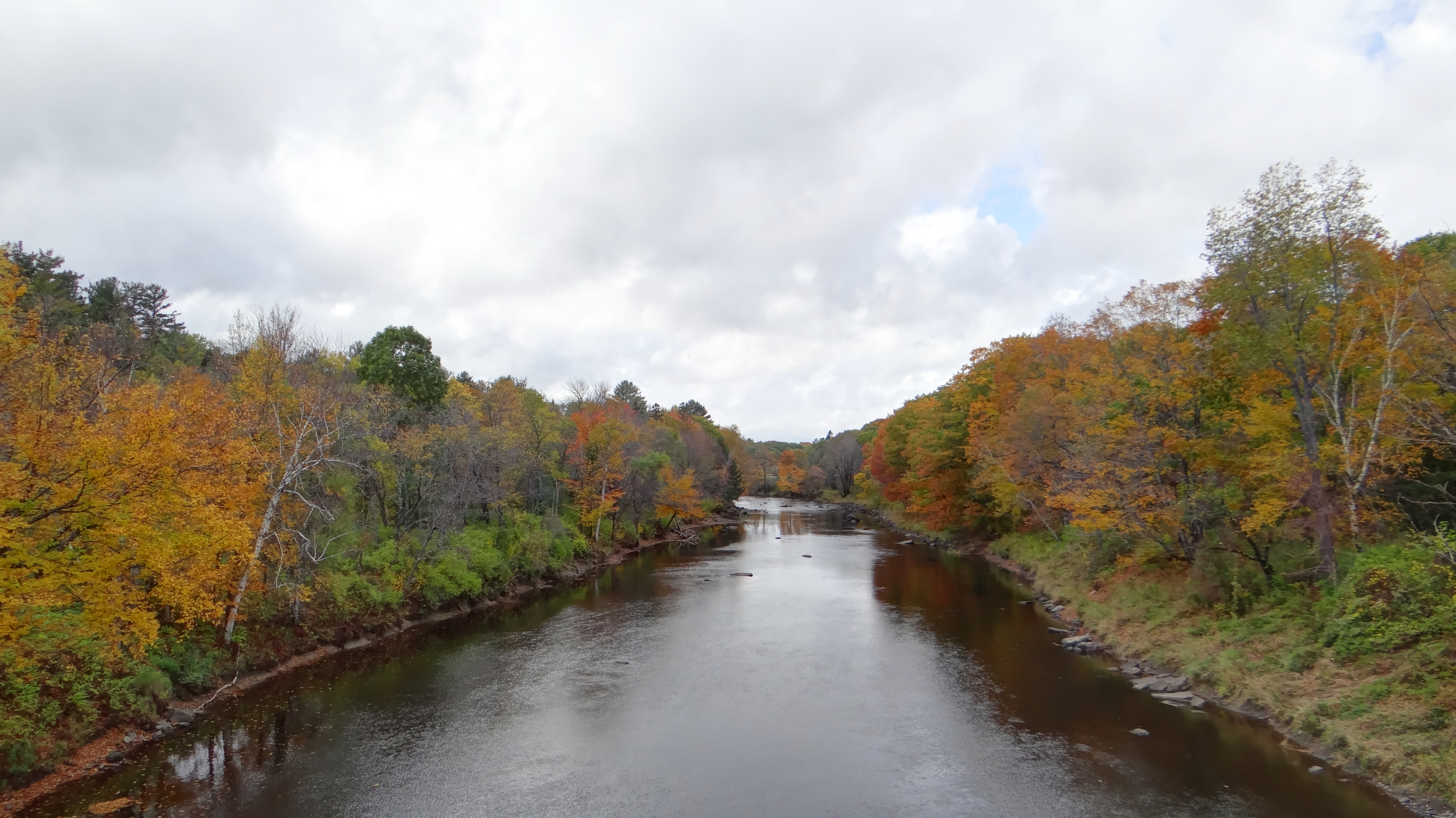
Fall in Maine
Fall in Maine

SI - June 20, 2013; Trail; Peaks-Kelly State Park; Dover-Foxcroft, Maine
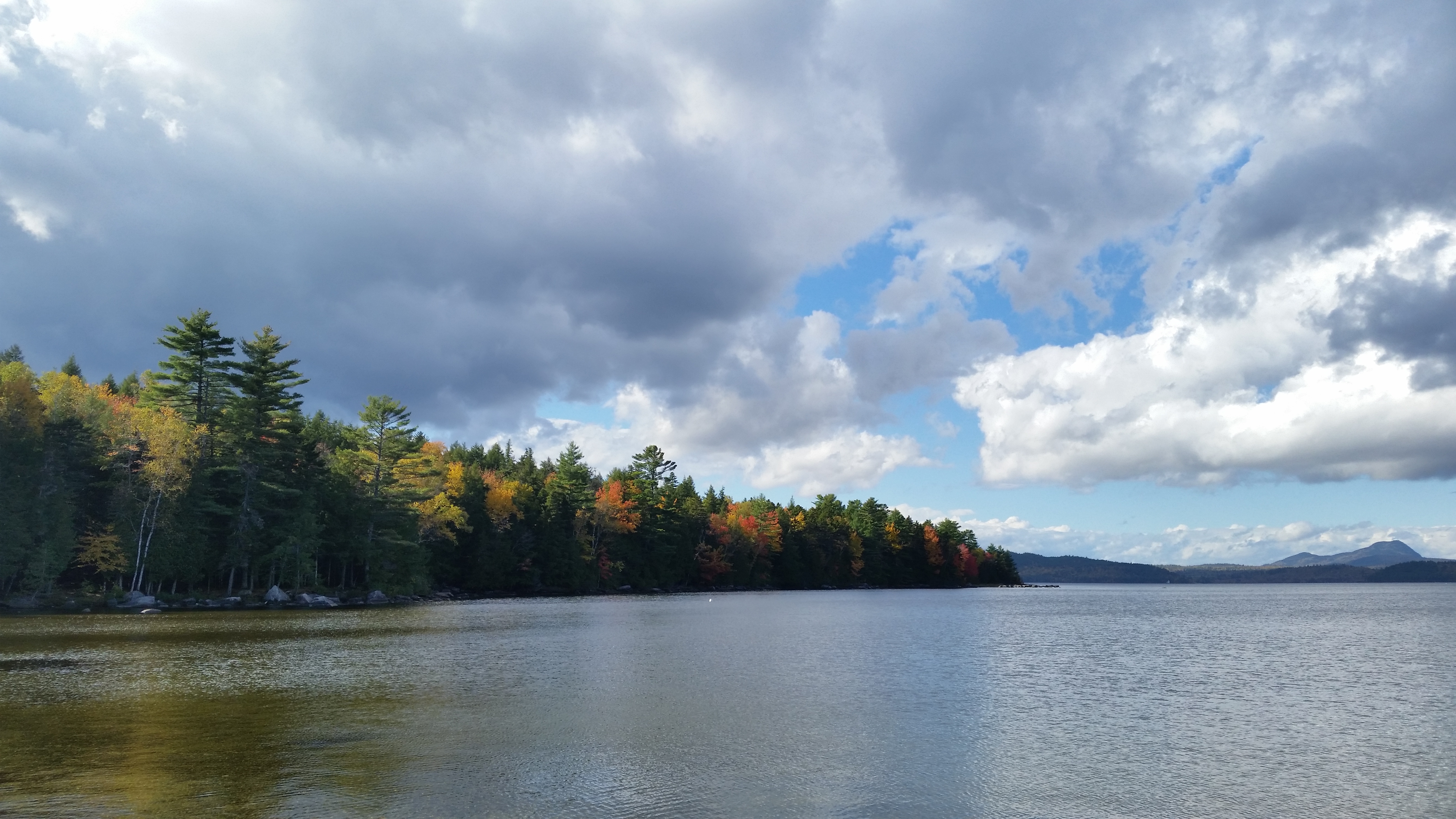
Sebec Lake, Peaks-Kenny State Park

Sebec Lake, Peaks-Kenny State Park
003109 ME Sebec Lake Borestone
003108 ME Sebec Lake Borestone
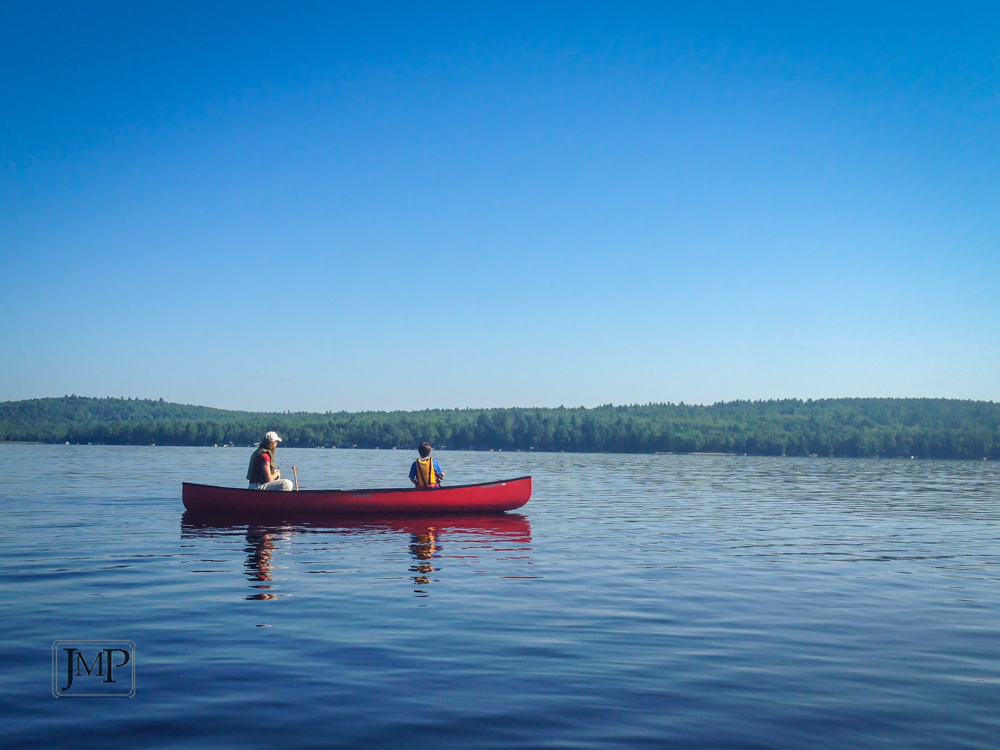
Fishin'
maine-pol-impressions-05
Topographic Map of Sangerville, ME, USA
Find elevation by address:

Places in Sangerville, ME, USA:
Places near Sangerville, ME, USA:
Guilford
Parkman
ME-23, Sangerville, ME, USA
65 Mcdonald Rd
Silvers Mills Rd, Sangerville, ME, USA
22 Number 10 Rd
15 Libby Ln
481 Crow Hill Rd
159 Eaton Rd
728 Crow Hill Rd
72 Shore Rd
445 Shore Rd
Dexter
137 Pleasant St
118 Prospect St
61 Pleasant St
Dexter
Dexter
55 Main St
51 Free St
Recent Searches:
- Elevation of Corso Fratelli Cairoli, 35, Macerata MC, Italy
- Elevation of Tallevast Rd, Sarasota, FL, USA
- Elevation of 4th St E, Sonoma, CA, USA
- Elevation of Black Hollow Rd, Pennsdale, PA, USA
- Elevation of Oakland Ave, Williamsport, PA, USA
- Elevation of Pedrógão Grande, Portugal
- Elevation of Klee Dr, Martinsburg, WV, USA
- Elevation of Via Roma, Pieranica CR, Italy
- Elevation of Tavkvetili Mountain, Georgia
- Elevation of Hartfords Bluff Cir, Mt Pleasant, SC, USA