Elevation of Davis Street, Davis St, Brownville, ME, USA
Location: United States > Maine > Piscataquis County >
Longitude: -69.054122
Latitude: 45.3784069
Elevation: 119m / 390feet
Barometric Pressure: 100KPa
Elevation Map:
Satellite Map:
Related Photos:

908 at Lake View

908 by lake View

908 Lake View

Lake View

NBSR 2318 approachs Mill St. at Lake View

NBSR 2318 at Lake View

Dragonfly on Antique Brick
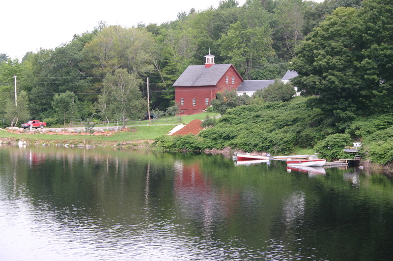
Red barn and boats

splash!

Sebec River at Dusk

oceanic paradise

rock on

Kittery Point, Maine

Sebec Lake ME

Sebec Lake ME

Sebec Lake ME

Sebec Village
Topographic Map of Davis Street, Davis St, Brownville, ME, USA
Find elevation by address:

Places near Davis Street, Davis St, Brownville, ME, USA:
Davis Street
Davis Street
Quarry Avenue
Brownville
27 Church St, Brownville, ME, USA
Rips Road
Sebec
52 Cove Rd
14 Maple St
Milo
Milo
32 Austin Rd, Sebec, ME, USA
673 Milo Rd
North Road
416 Medford Rd
Lyford Road
Atkinson
30 Borestone View
30 Borestone View
30 Borestone View
Recent Searches:
- Elevation of Corso Fratelli Cairoli, 35, Macerata MC, Italy
- Elevation of Tallevast Rd, Sarasota, FL, USA
- Elevation of 4th St E, Sonoma, CA, USA
- Elevation of Black Hollow Rd, Pennsdale, PA, USA
- Elevation of Oakland Ave, Williamsport, PA, USA
- Elevation of Pedrógão Grande, Portugal
- Elevation of Klee Dr, Martinsburg, WV, USA
- Elevation of Via Roma, Pieranica CR, Italy
- Elevation of Tavkvetili Mountain, Georgia
- Elevation of Hartfords Bluff Cir, Mt Pleasant, SC, USA