Elevation of Rips Road, Rips Rd, Maine, USA
Location: United States > Maine > Piscataquis County > Milo >
Longitude: -69.035007
Latitude: 45.2932144
Elevation: 153m / 502feet
Barometric Pressure: 99KPa
Elevation Map:
Satellite Map:
Related Photos:
908 by lake View
Lake View

908 Lake View

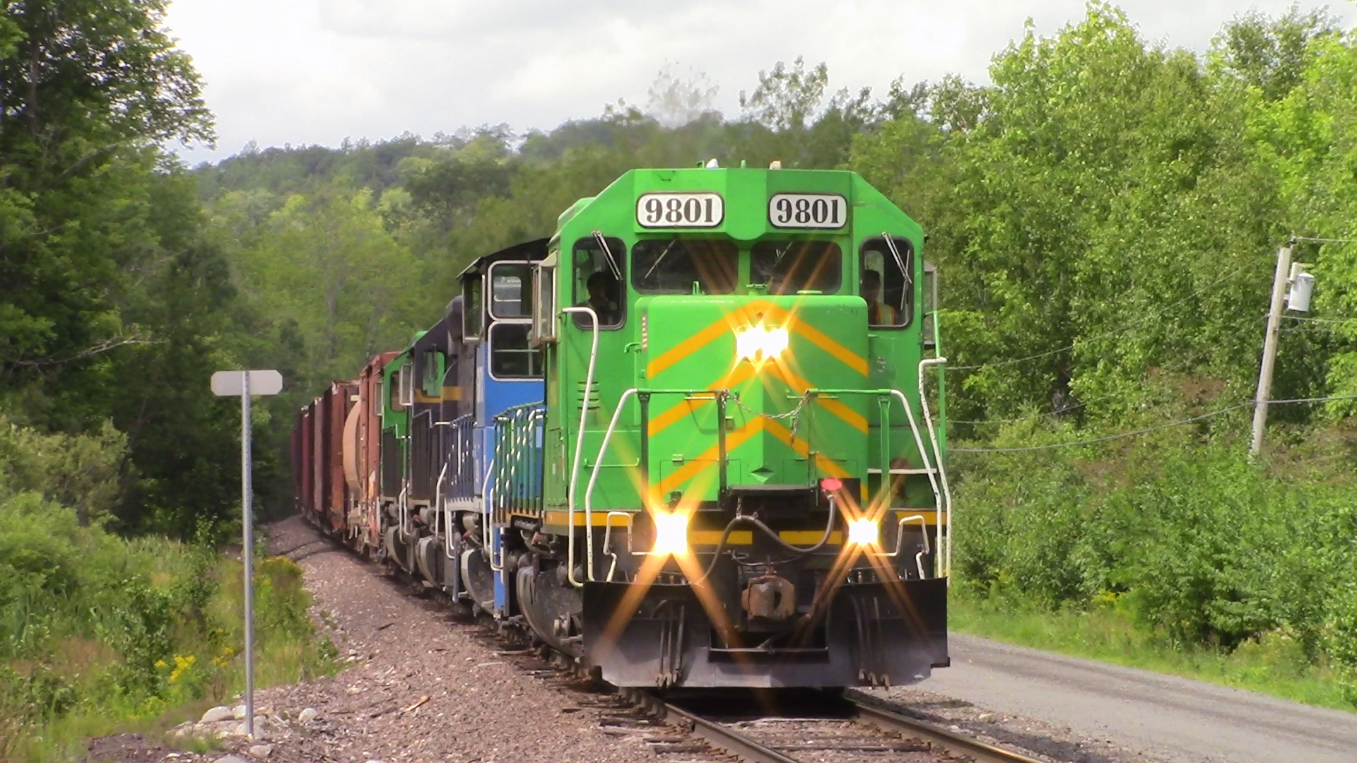
NBSR 2318 approachs Mill St. at Lake View

Sebec Lake, Maine

Sebec River at Dusk
2006 Aug epic maine trip with Ross. (62)

Sebec Lake ME
splash!
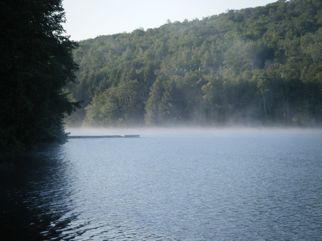
Sebec Lake ME

Red barn and boats

100 Mile Wilderness and Mt. Katahdin summit
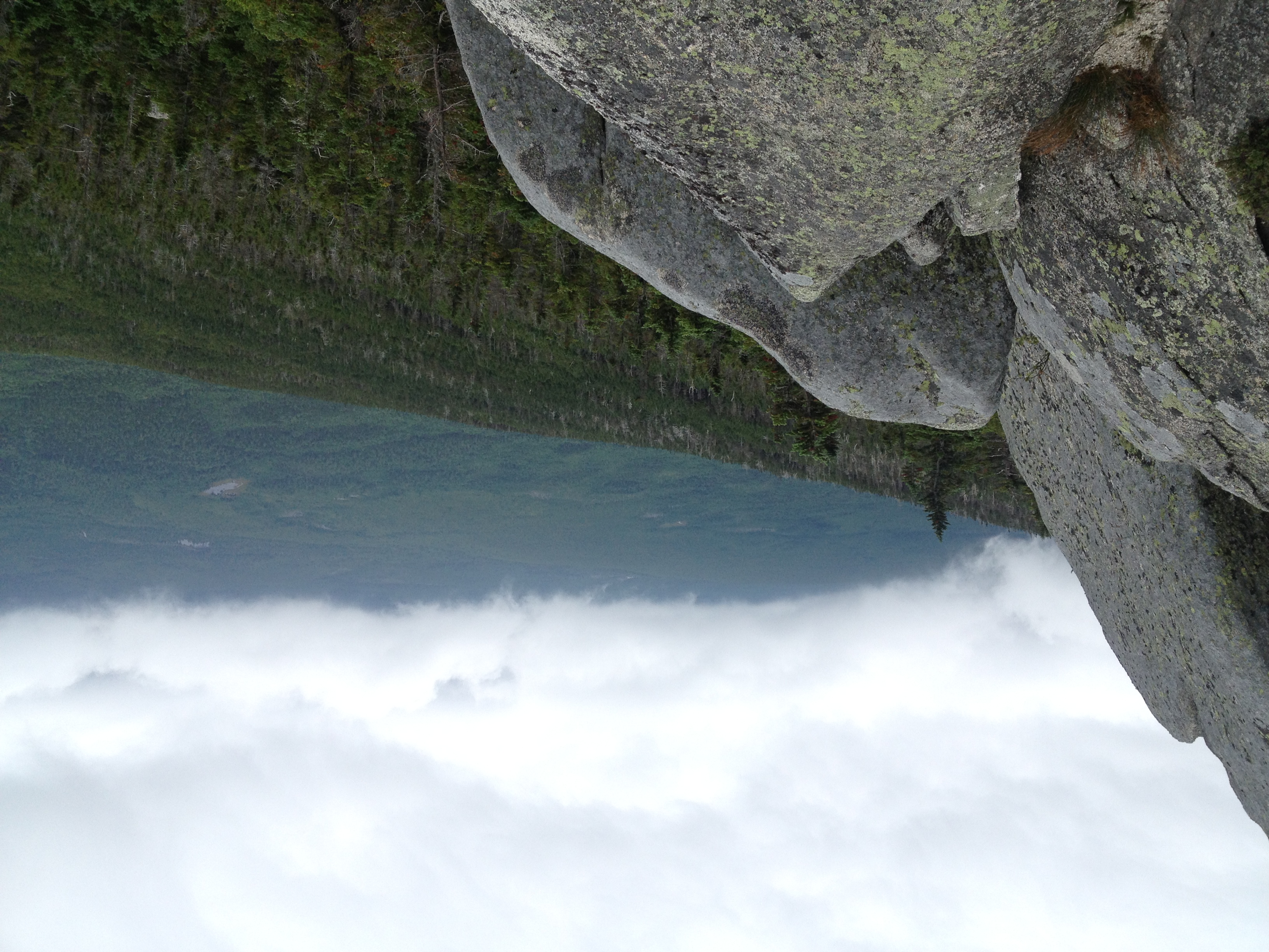
100 Mile Wilderness and Mt. Katahdin summit
rock on
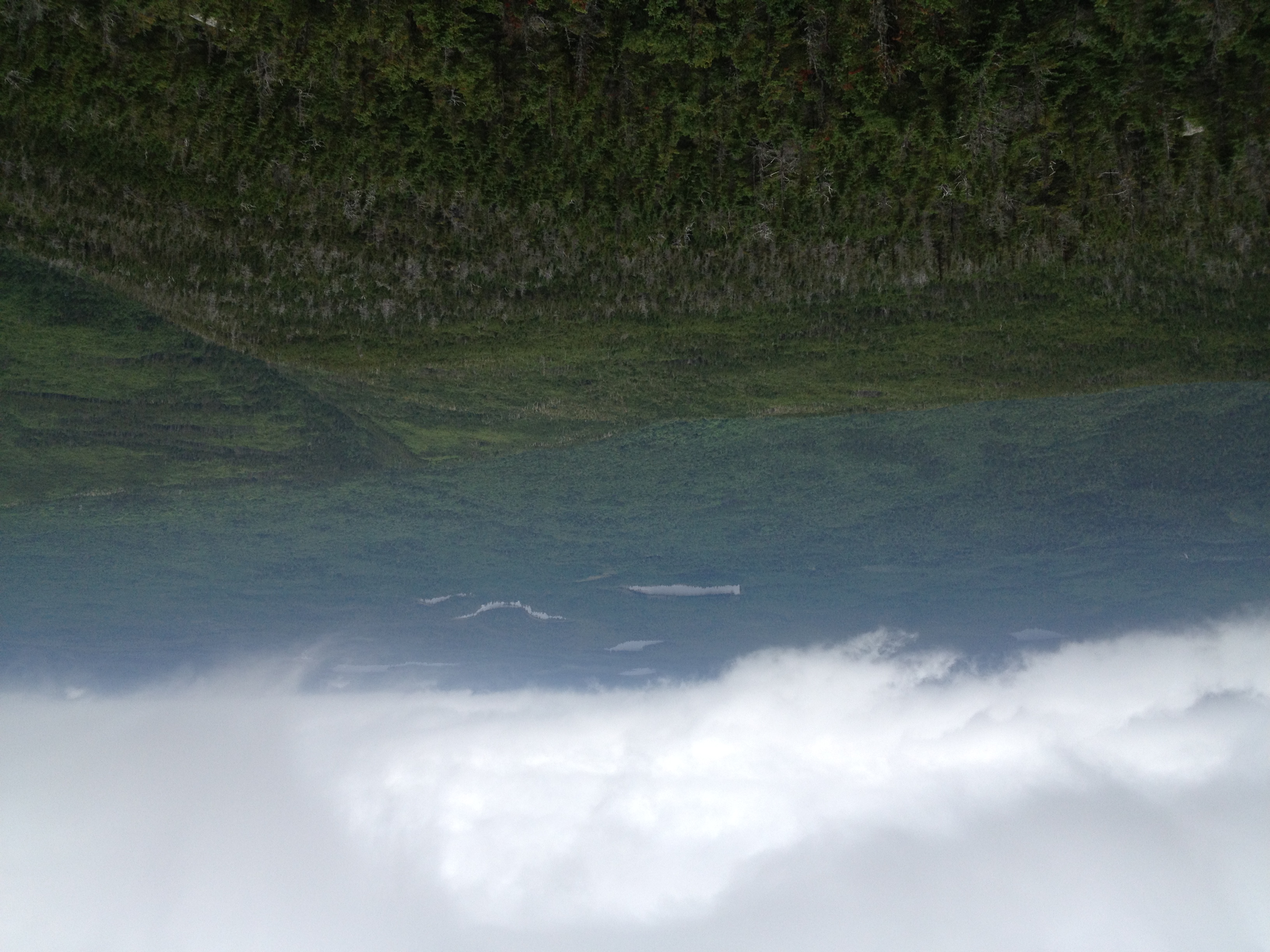
100 Mile Wilderness and Mt. Katahdin summit
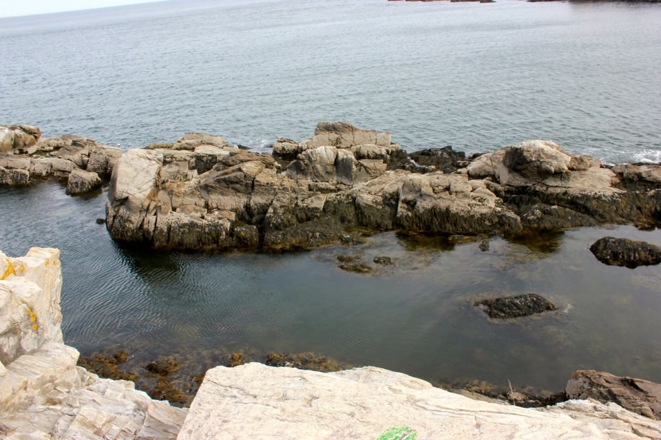
Kittery Point, Maine
Topographic Map of Rips Road, Rips Rd, Maine, USA
Find elevation by address:

Places near Rips Road, Rips Rd, Maine, USA:
27 Church St, Brownville, ME, USA
Brownville
Quarry Avenue
14 Maple St
Milo
Milo
Sebec
32 Austin Rd, Sebec, ME, USA
52 Cove Rd
673 Milo Rd
Lyford Road
416 Medford Rd
Atkinson
North Road
Southeast Piscataquis
Southeast Piscataquis
30 Borestone View
30 Borestone View
30 Borestone View
2 Cotton Brook Rd, Dover-Foxcroft, ME, USA
Recent Searches:
- Elevation of Corso Fratelli Cairoli, 35, Macerata MC, Italy
- Elevation of Tallevast Rd, Sarasota, FL, USA
- Elevation of 4th St E, Sonoma, CA, USA
- Elevation of Black Hollow Rd, Pennsdale, PA, USA
- Elevation of Oakland Ave, Williamsport, PA, USA
- Elevation of Pedrógão Grande, Portugal
- Elevation of Klee Dr, Martinsburg, WV, USA
- Elevation of Via Roma, Pieranica CR, Italy
- Elevation of Tavkvetili Mountain, Georgia
- Elevation of Hartfords Bluff Cir, Mt Pleasant, SC, USA