Elevation of Atkinson, ME, USA
Location: United States > Maine > Piscataquis County > Southeast Piscataquis >
Longitude: -69.091080
Latitude: 45.1868588
Elevation: 130m / 427feet
Barometric Pressure: 100KPa
Elevation Map:
Satellite Map:
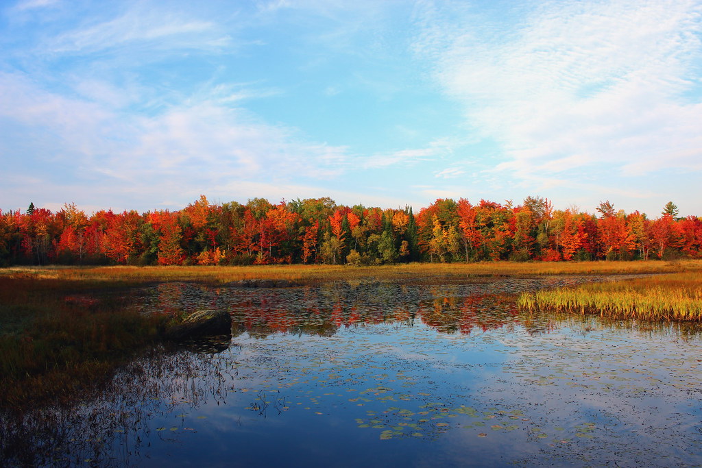
Related Photos:

Autumn Leaves on Old Road

Autumn Harvest of Corn
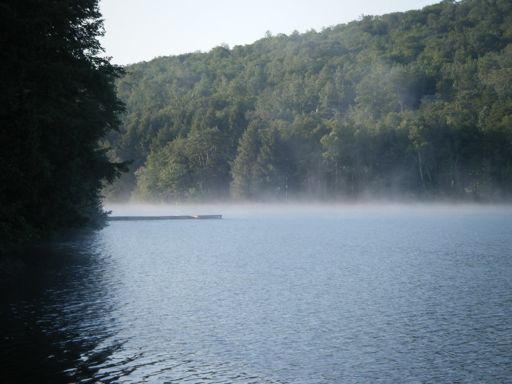
The swamp in Morning

Fall in Maine
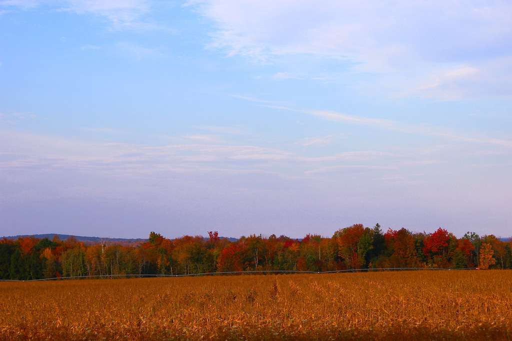
Corn Field in Fall

Blending in
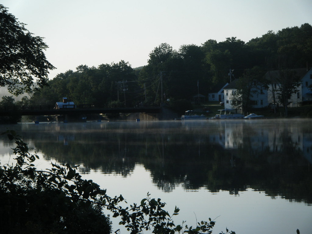
Sebec Village
2006 Aug epic maine trip with Ross. (62)

Beau paysage

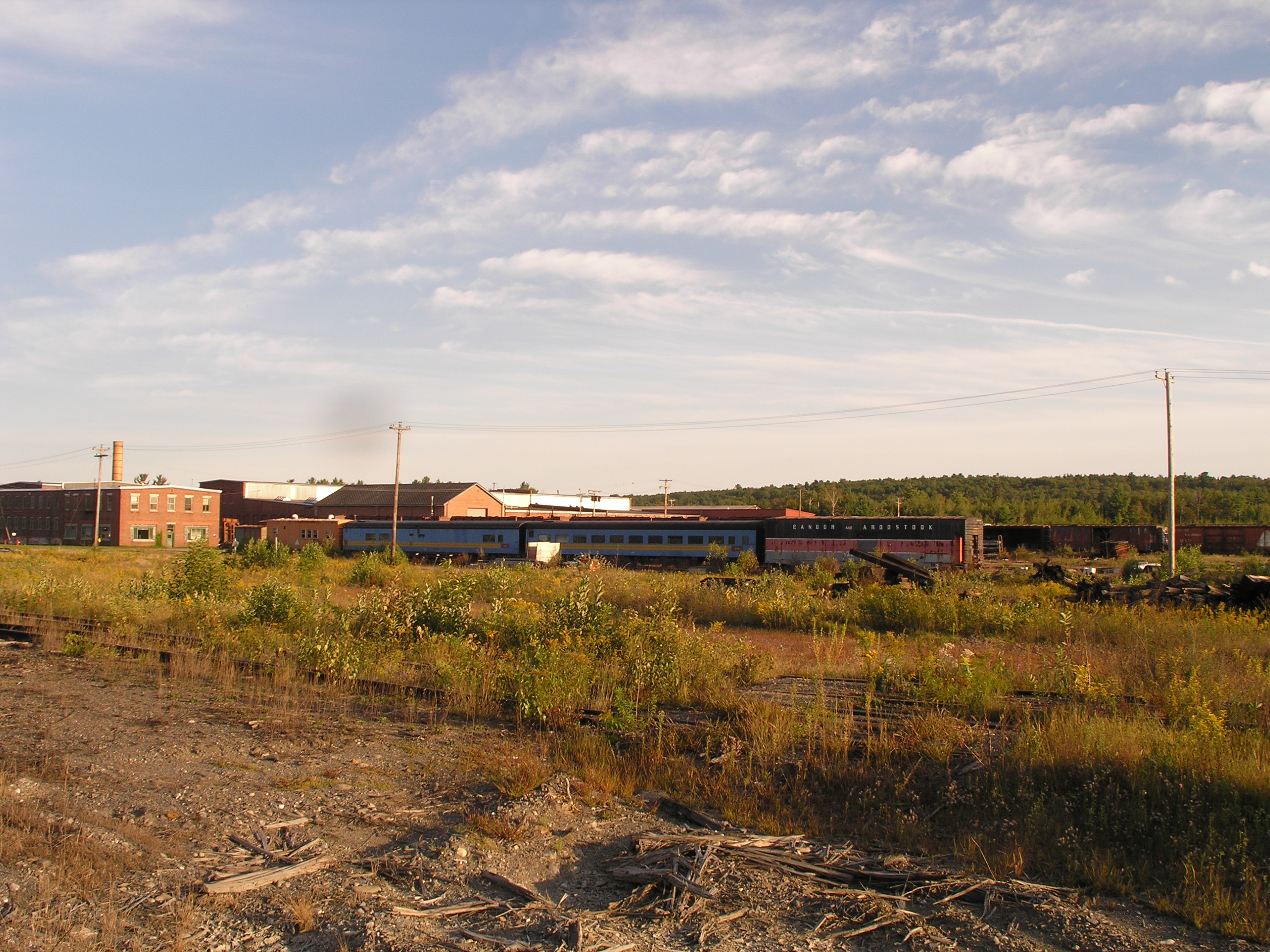
2006 Aug epic trip to Maine - rail yard (4)

Graines de foins au soleil couchant

Pure Purple

Sebec Lake ME

Sebec River at Dusk
Sebec Lake ME
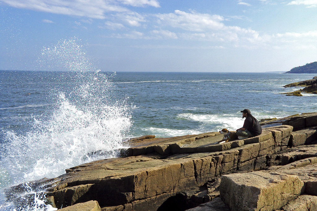
splash!

Psalm 19.1

Psaume 19.1

Red barn and boats
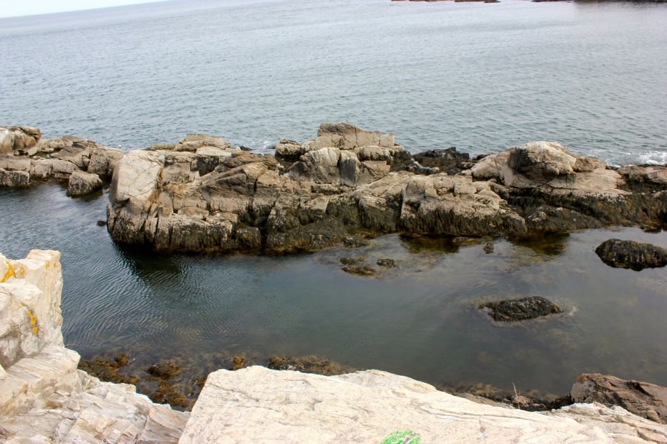
rock on

100 Mile Wilderness and Mt. Katahdin summit
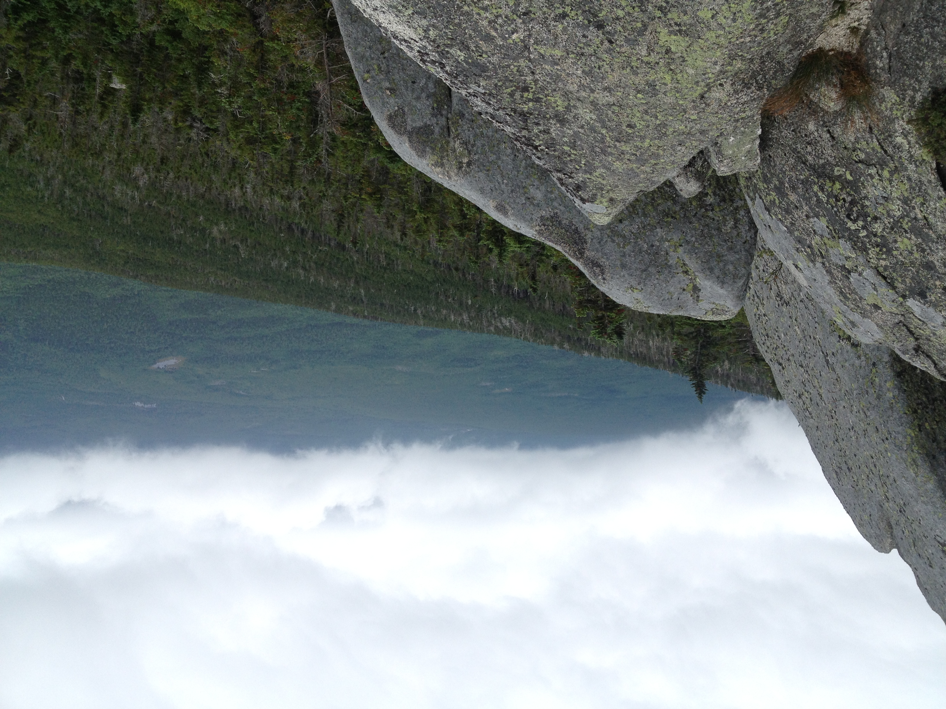
100 Mile Wilderness and Mt. Katahdin summit
Topographic Map of Atkinson, ME, USA
Find elevation by address:

Places near Atkinson, ME, USA:
673 Milo Rd
32 Austin Rd, Sebec, ME, USA
North Road
Sebec
52 Cove Rd
Rips Road
14 Maple St
482 Essex St
Milo
Milo
Lyford Road
27 Church St, Brownville, ME, USA
Brownville
Quarry Avenue
Dover-foxcroft
Dover-foxcroft
Southeast Piscataquis
34 Spring St
30 Borestone View
30 Borestone View
Recent Searches:
- Elevation of Corso Fratelli Cairoli, 35, Macerata MC, Italy
- Elevation of Tallevast Rd, Sarasota, FL, USA
- Elevation of 4th St E, Sonoma, CA, USA
- Elevation of Black Hollow Rd, Pennsdale, PA, USA
- Elevation of Oakland Ave, Williamsport, PA, USA
- Elevation of Pedrógão Grande, Portugal
- Elevation of Klee Dr, Martinsburg, WV, USA
- Elevation of Via Roma, Pieranica CR, Italy
- Elevation of Tavkvetili Mountain, Georgia
- Elevation of Hartfords Bluff Cir, Mt Pleasant, SC, USA