Elevation of Indian Township, Indian Twp, ME, USA
Location: United States > Maine > Washington County >
Longitude: -67.590541
Latitude: 45.240493
Elevation: 72m / 236feet
Barometric Pressure: 100KPa
Elevation Map:
Satellite Map:
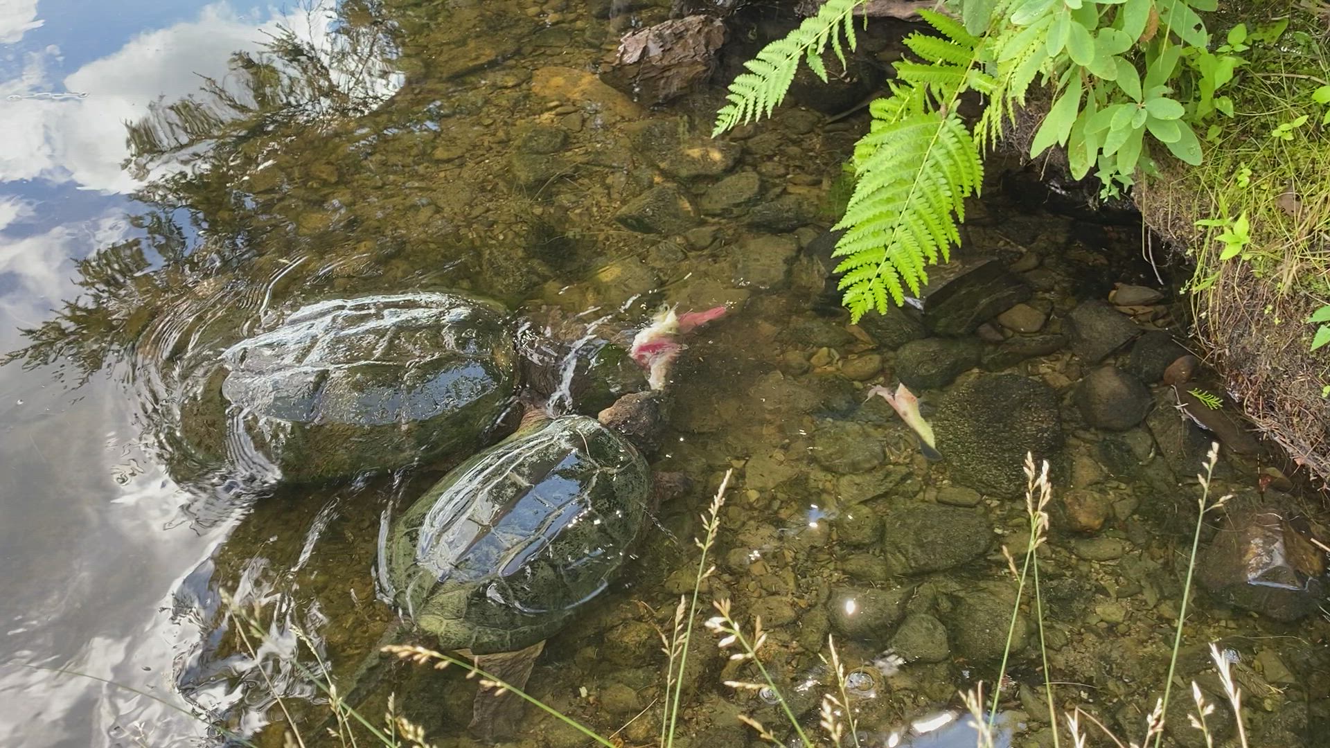
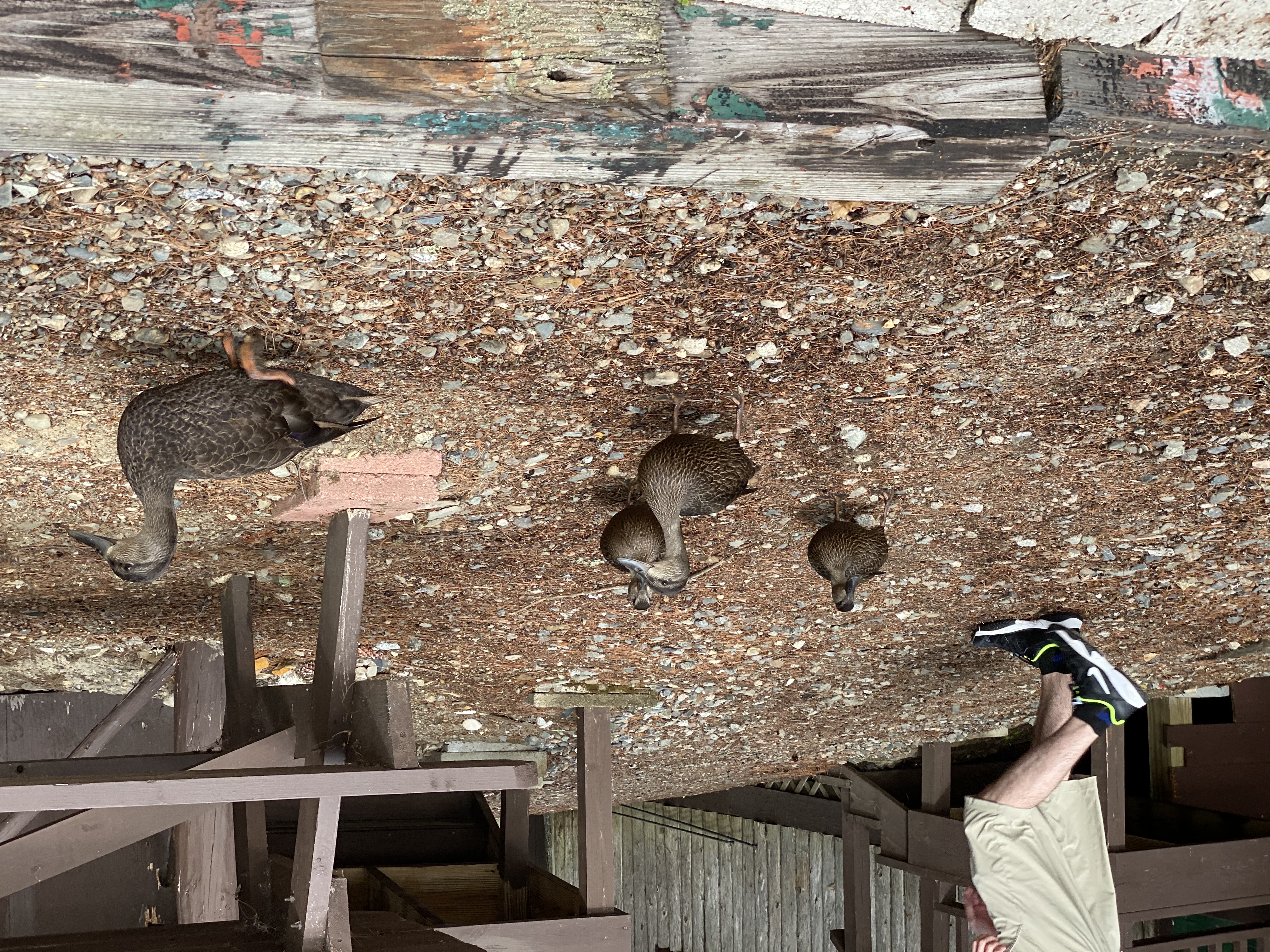
Related Photos:

our dock

The epic view from our cabin!

sunsets galore

the last sunset

Sunset on Long Lake

Due east

Long Lake Panoram

Maine (Aug. 2020)
Maine (Aug. 2020)

Maine (Aug. 2020)

Maine (Aug. 2020)

Maine (Aug. 2020)

Maine (Aug. 2020)

Maine (Aug. 2020)

Maine (Aug. 2020)

Maine (Aug. 2020)

Maine (Aug. 2020)

Maine (Aug. 2020)

Maine (Aug. 2020)
Maine (Aug. 2020)

Maine (Aug. 2020)

Maine (Aug. 2020)

Maine (Aug. 2020)

Maine (Aug. 2020)

Maine (Aug. 2020)

Maine (Aug. 2020)

Maine (Aug. 2020)

Maine (Aug. 2020)
Topographic Map of Indian Township, Indian Twp, ME, USA
Find elevation by address:

Places near Indian Township, Indian Twp, ME, USA:
Crawford
Grand Lake Stream
Milford Rd, Grand Lake Stream, ME, USA
North Washington
Houlton Rd, Brookton, ME, USA
Dobsis Dam
Houlton Rd, Danforth, ME, USA
Danforth
6 Waterfront Dr, Weston, ME, USA
187 Tucker Ridge Rd
187 Tucker Ridge Rd
Canterbury Parish
Bancroft
Orient
Plantation Of Webster
Webster
Hartin Settlement
1152 Hartin Settlement Rd
1152 Hartin Settlement Rd
Kingman
Recent Searches:
- Elevation of Corso Fratelli Cairoli, 35, Macerata MC, Italy
- Elevation of Tallevast Rd, Sarasota, FL, USA
- Elevation of 4th St E, Sonoma, CA, USA
- Elevation of Black Hollow Rd, Pennsdale, PA, USA
- Elevation of Oakland Ave, Williamsport, PA, USA
- Elevation of Pedrógão Grande, Portugal
- Elevation of Klee Dr, Martinsburg, WV, USA
- Elevation of Via Roma, Pieranica CR, Italy
- Elevation of Tavkvetili Mountain, Georgia
- Elevation of Hartfords Bluff Cir, Mt Pleasant, SC, USA