Elevation of Tucker Ridge Rd, Springfield, ME, USA
Location: United States > Maine > Penobscot County > Webster > Plantation Of Webster >
Longitude: -68.1309296
Latitude: 45.4925582
Elevation: 99m / 325feet
Barometric Pressure: 0KPa
Related Photos:
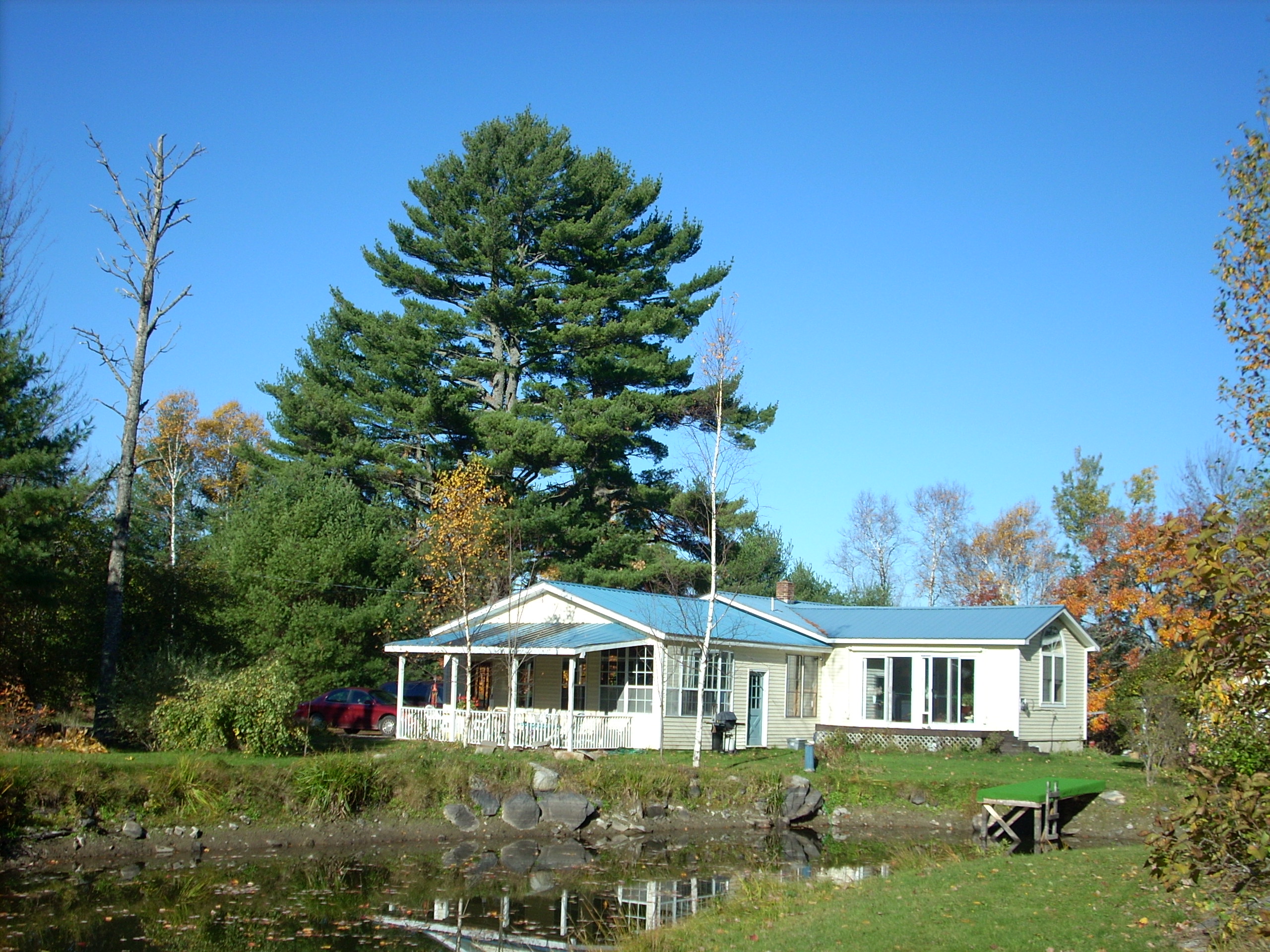
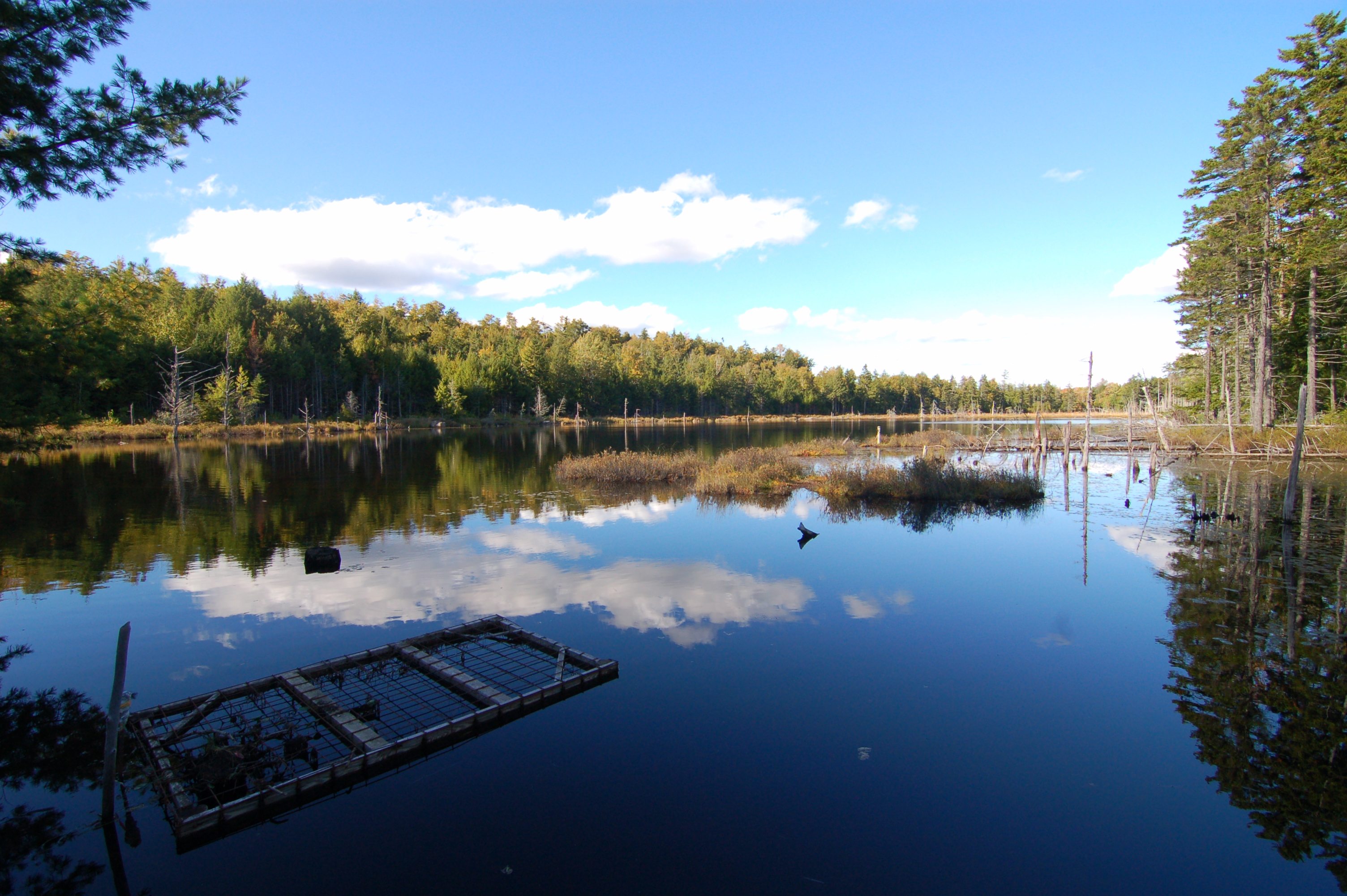
View from the pond at Mom and Dad's

DSC_5062

Almanac
DSC_5083

IMG_4981

Good morning
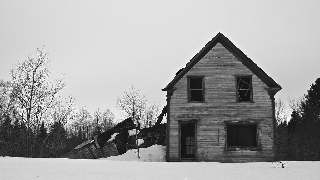
Falling Down

Camera Roll-212

paddle caterpillar on a leaf stem

a painting of some beetle from a book

taxonomy:binomial="Lophocampa maculata"

Monarch chrysalides

monarch chrysalides

Acronicta funeralis

altered milkweed

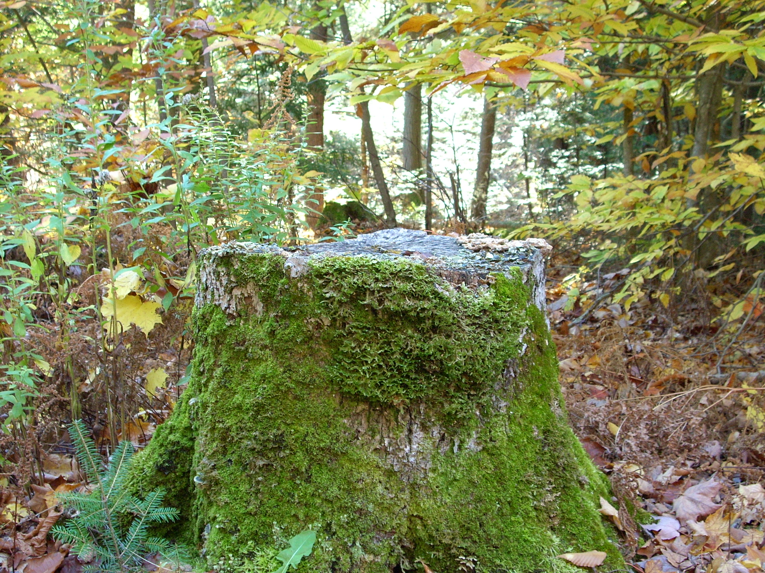
In the woods at Mom and Dad's house

Pumpkins for the kids to decorate

Playing with settings
Playing with settings

In the woods at Mom and Dad's house

In the woods at Mom and Dad's house
Topographic Map of Tucker Ridge Rd, Springfield, ME, USA
Find elevation by address:

Places near Tucker Ridge Rd, Springfield, ME, USA:
187 Tucker Ridge Rd
Plantation Of Webster
Webster
Kingman
ME-, Kingman, ME, USA
Kingman
39 Old E Winn Rd, Winn, ME, USA
Thomas Hill Road
Lee
Winn
Bancroft
12 Aroostook Rd, Mattawamkeag, ME, USA
Butterfield Ridge Road
Danforth
Woodville
South Aroostook
Dobsis Dam
10 Sweet Rd, Lincoln, ME, USA
Houlton Rd, Danforth, ME, USA
6 Waterfront Dr, Weston, ME, USA
Recent Searches:
- Elevation of Pasing, Munich, Bavaria, 81241, Germany
- Elevation of 24, Auburn Bay Crescent SE, Auburn Bay, Calgary, Alberta, T3M 0A6, Canada
- Elevation of Denver, 2314, Arapahoe Street, Five Points, Denver, Colorado, 80205, USA
- Elevation of Community of the Beatitudes, 2924, West 43rd Avenue, Sunnyside, Denver, Colorado, 80211, USA
- Elevation map of Litang County, Sichuan, China
- Elevation map of Madoi County, Qinghai, China
- Elevation of 3314, Ohio State Route 114, Payne, Paulding County, Ohio, 45880, USA
- Elevation of Sarahills Drive, Saratoga, Santa Clara County, California, 95070, USA
- Elevation of Town of Bombay, Franklin County, New York, USA
- Elevation of 9, Convent Lane, Center Moriches, Suffolk County, New York, 11934, USA
- Elevation of Saint Angelas Convent, 9, Convent Lane, Center Moriches, Suffolk County, New York, 11934, USA
- Elevation of 131st Street Southwest, Mukilteo, Snohomish County, Washington, 98275, USA
- Elevation of 304, Harrison Road, Naples, Cumberland County, Maine, 04055, USA
- Elevation of 2362, Timber Ridge Road, Harrisburg, Cabarrus County, North Carolina, 28075, USA
- Elevation of Ridge Road, Marshalltown, Marshall County, Iowa, 50158, USA
- Elevation of 2459, Misty Shadows Drive, Pigeon Forge, Sevier County, Tennessee, 37862, USA
- Elevation of 8043, Brightwater Way, Spring Hill, Williamson County, Tennessee, 37179, USA
- Elevation of Starkweather Road, San Luis, Costilla County, Colorado, 81152, USA
- Elevation of 5277, Woodside Drive, Baton Rouge, East Baton Rouge Parish, Louisiana, 70808, USA
- Elevation of 1139, Curtin Street, Shepherd Park Plaza, Houston, Harris County, Texas, 77018, USA