Elevation of 12 Aroostook Rd, Mattawamkeag, ME, USA
Location: United States > Maine > Aroostook County > South Aroostook >
Longitude: -68.303921
Latitude: 45.6152305
Elevation: 139m / 456feet
Barometric Pressure: 100KPa
Elevation Map:
Satellite Map:
Related Photos:
privey
IMG_1039

Dinah landsman
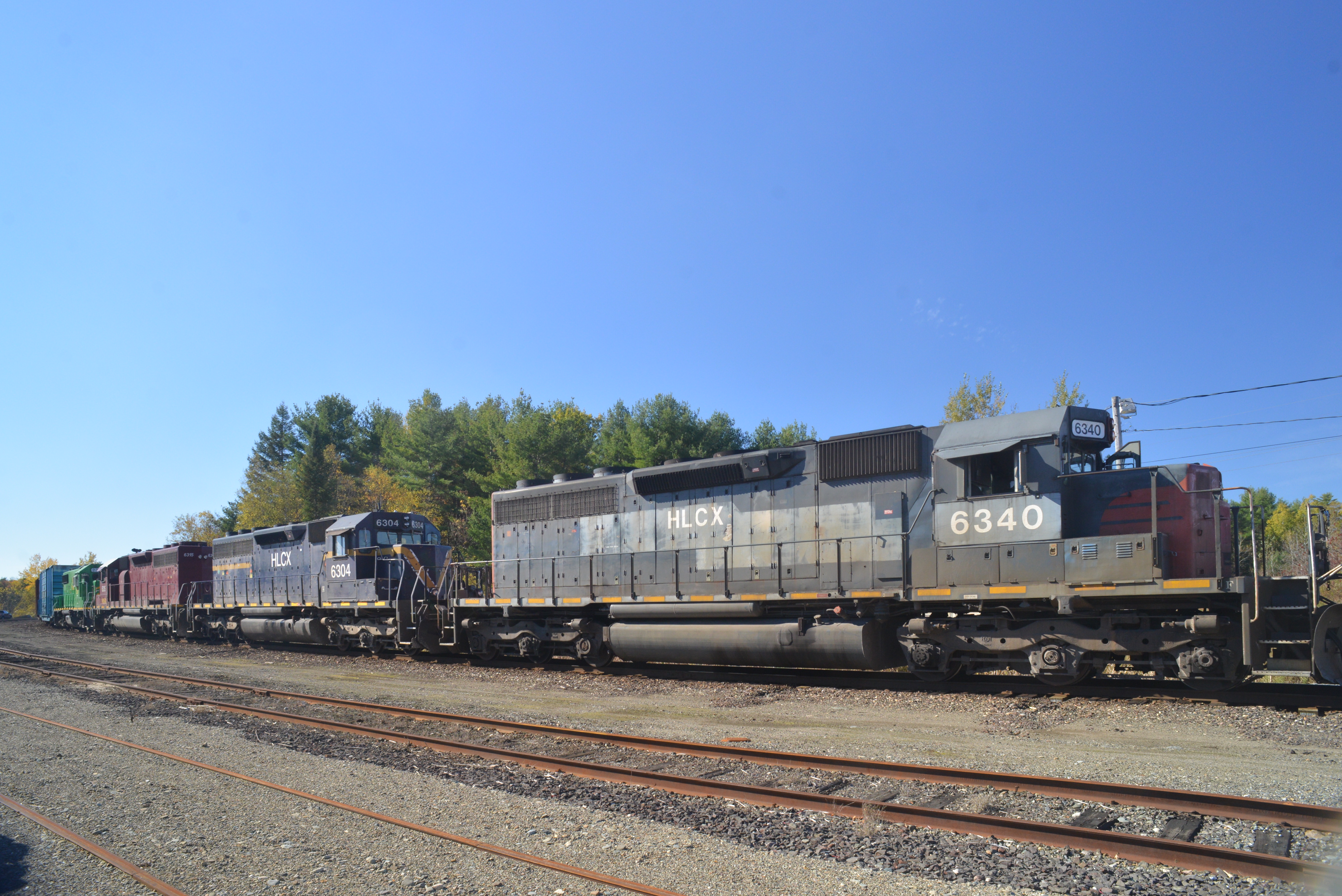
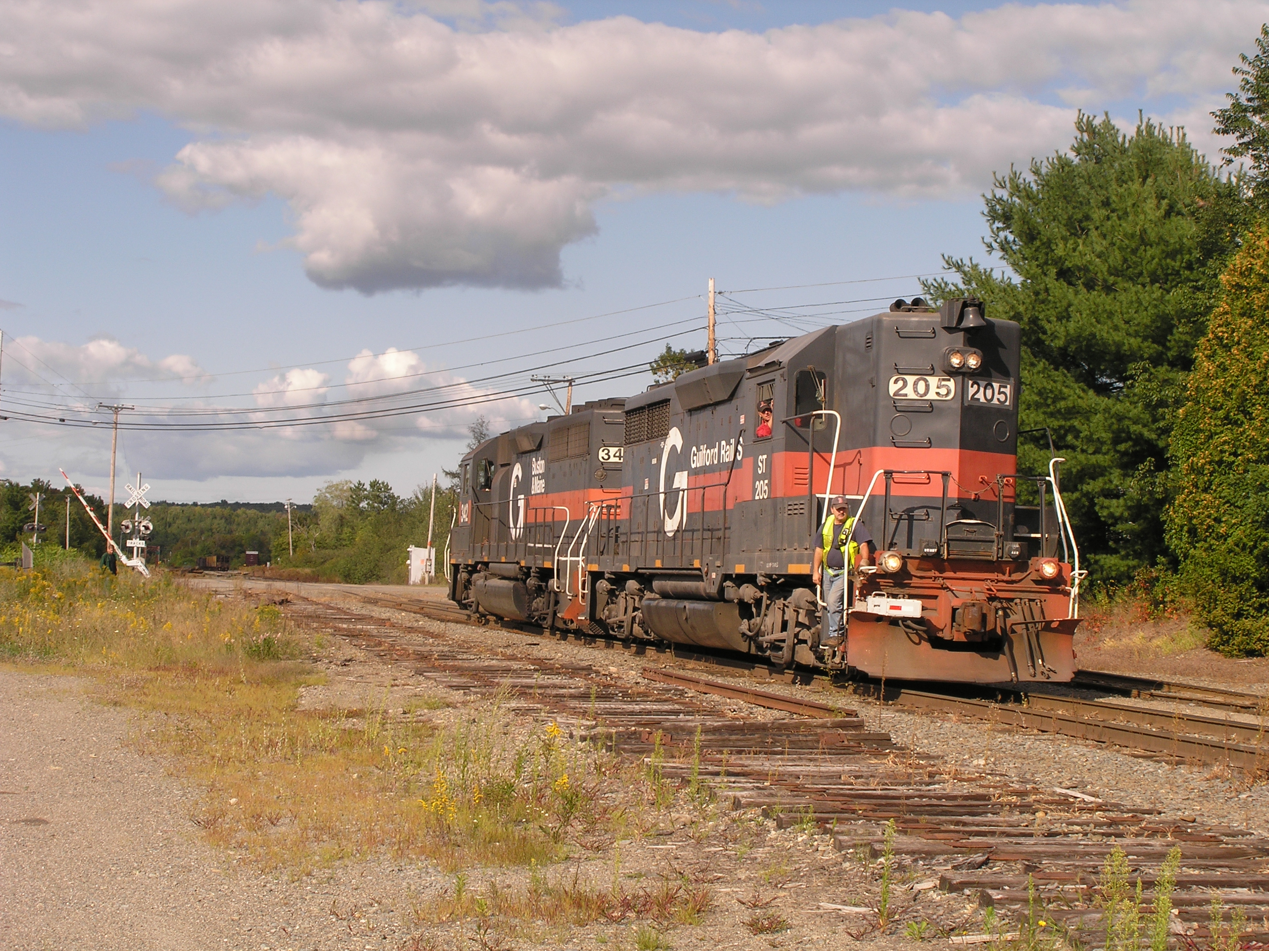
Crew change at "Keag"
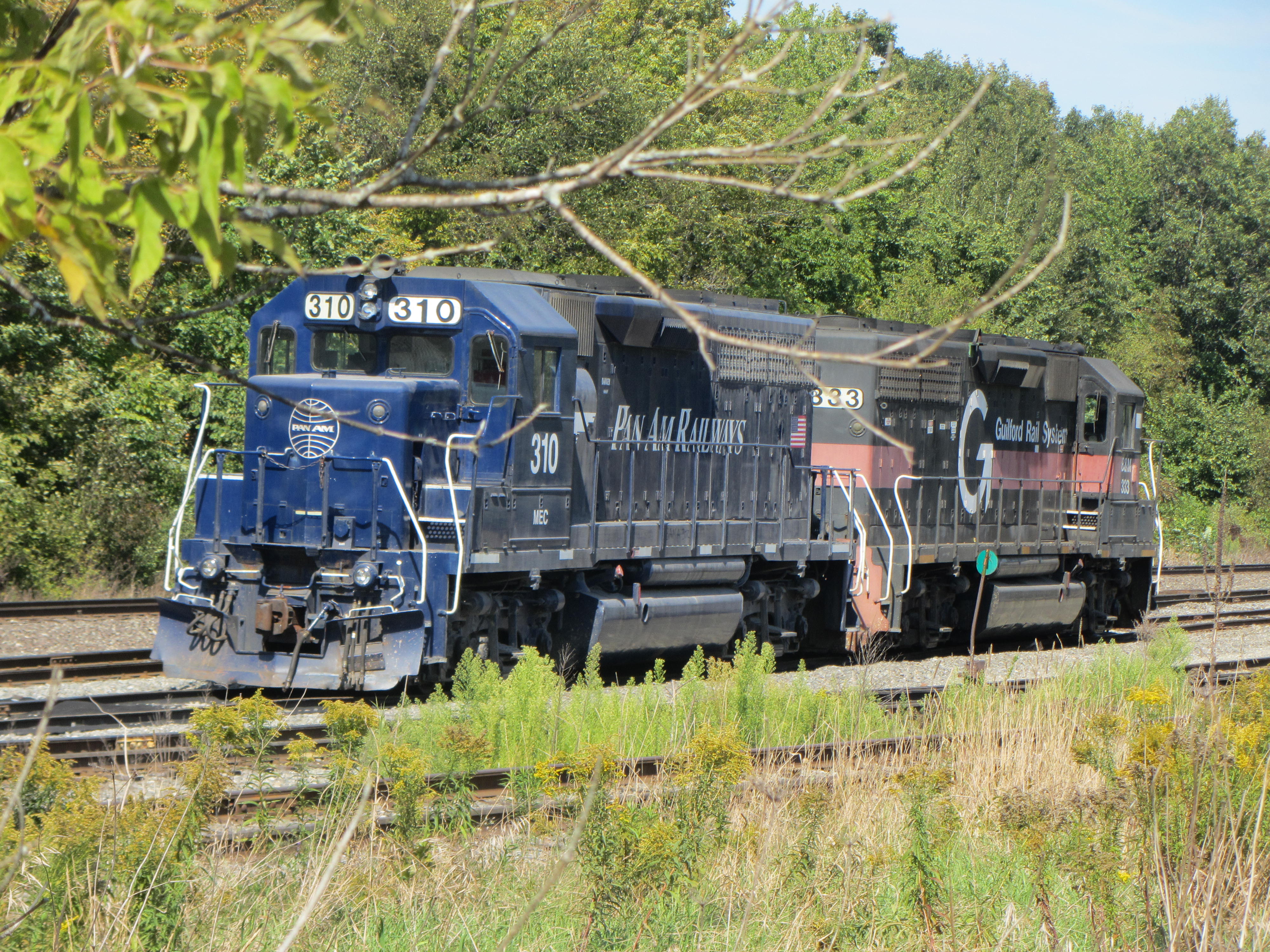
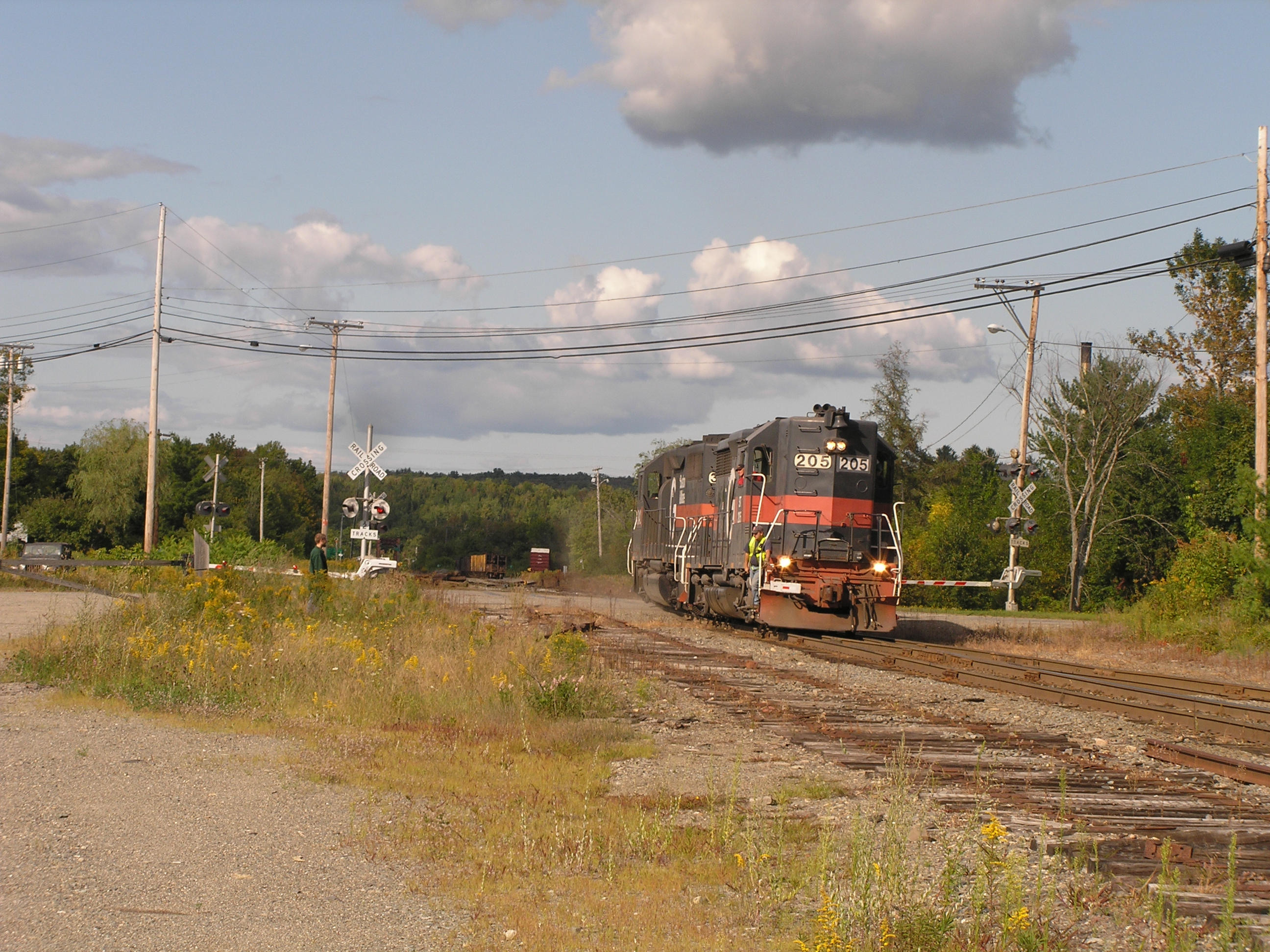
20120913 33 Pan Am Railways, Mattawamkeag, Maine
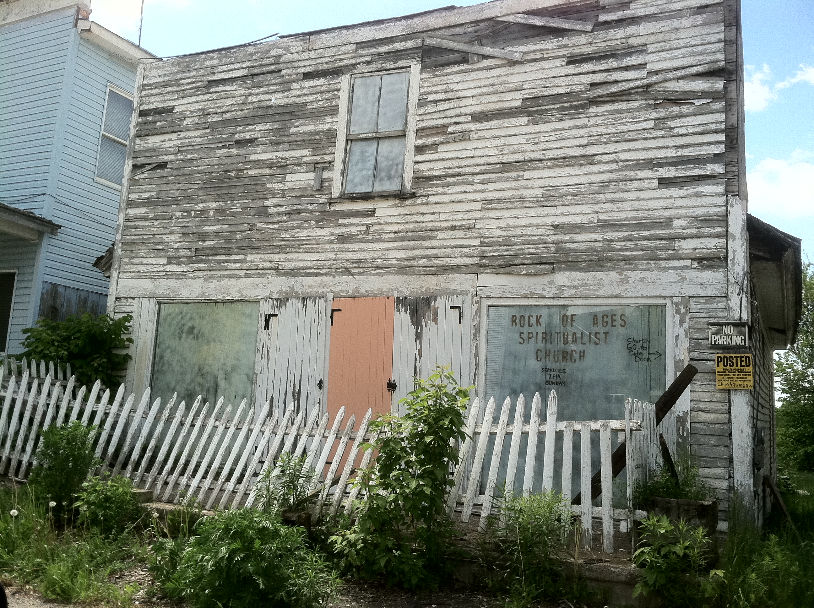
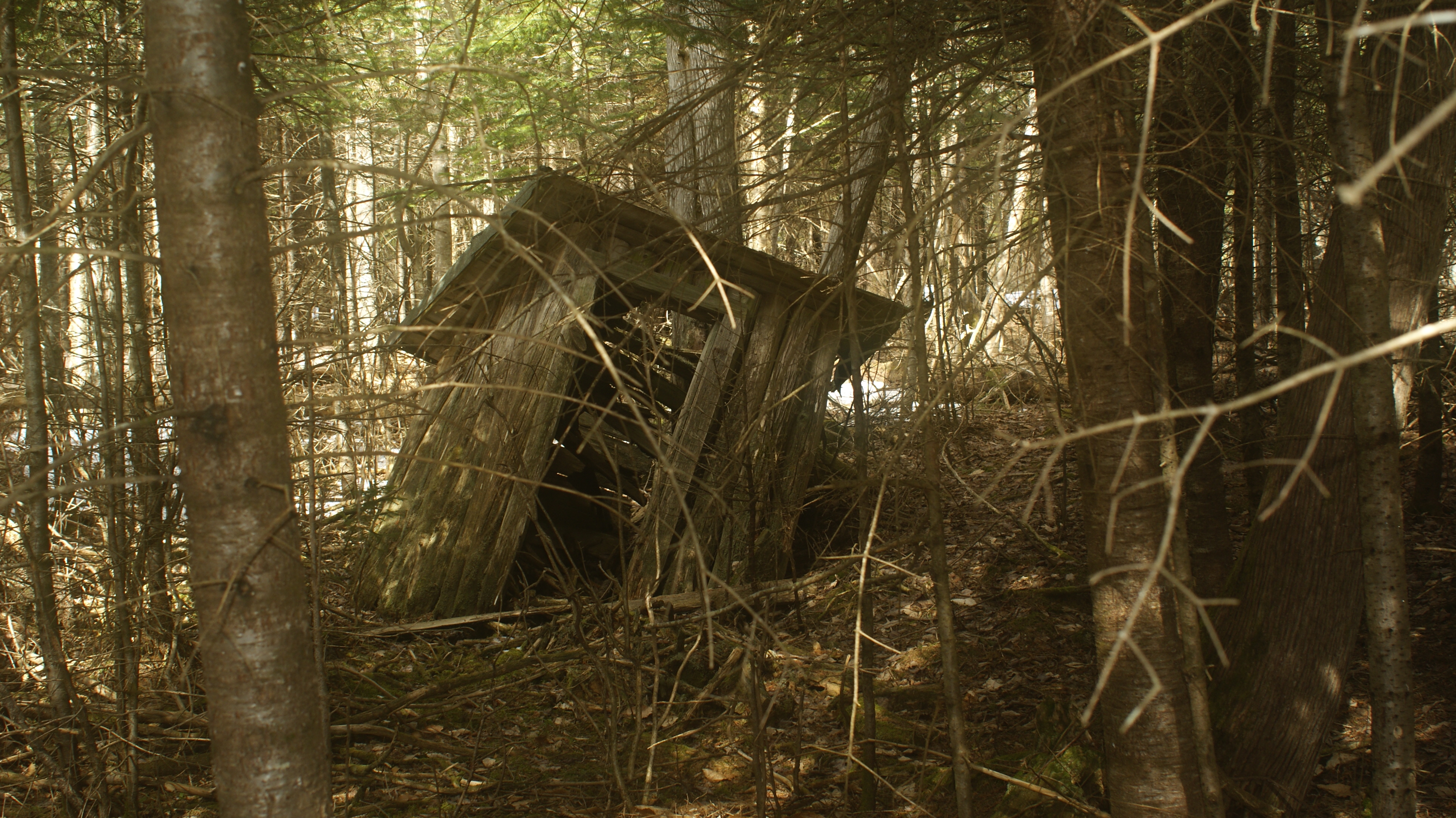
God Makes His Home in Special Places
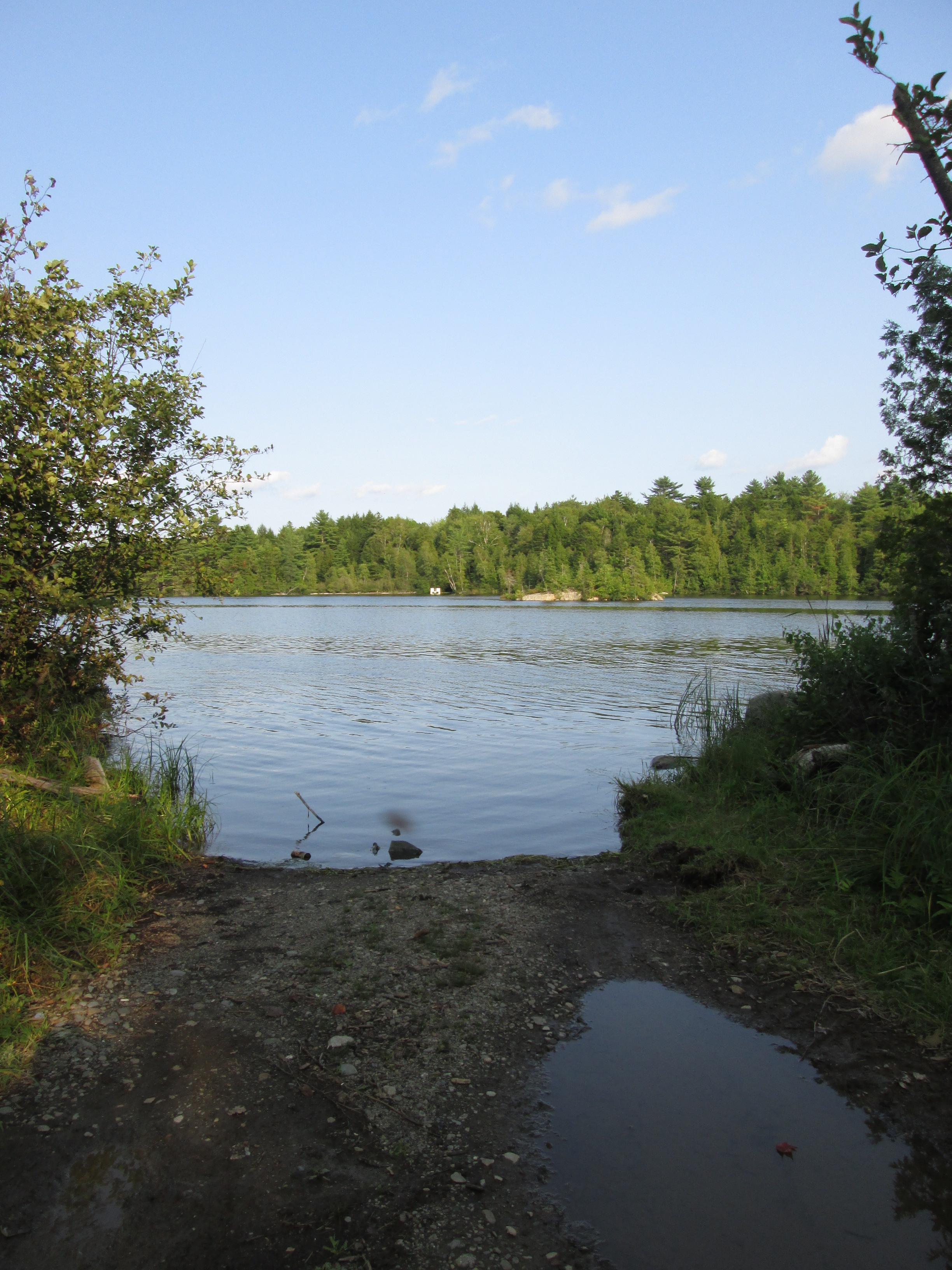
2006 Aug epic maine trip with Ross. (61)
2006 Aug epic maine trip with Ross. (60)
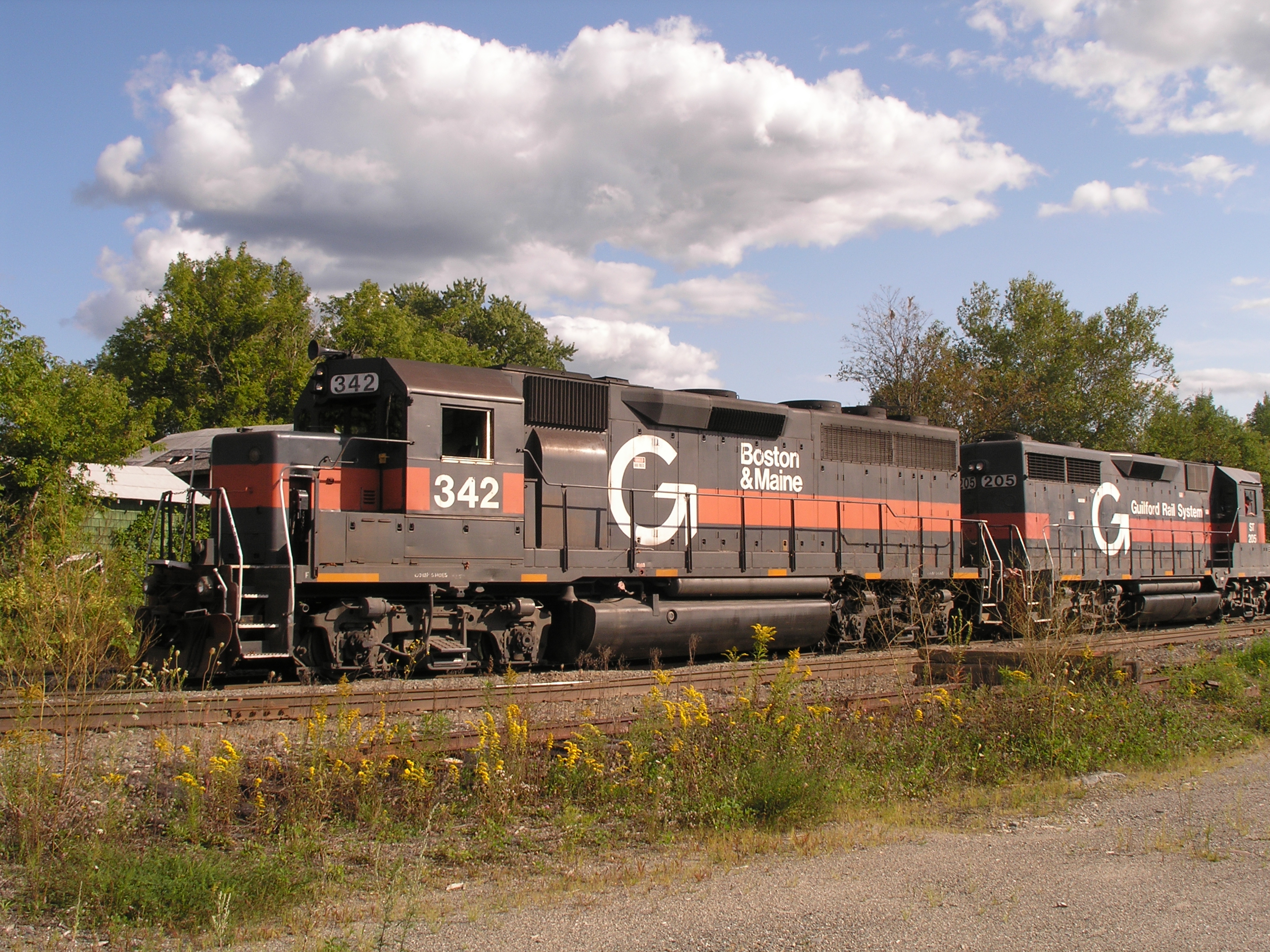
2006 Aug epic maine trip with Ross. (59)

2006 Aug epic maine trip with Ross. (58)
Topographic Map of 12 Aroostook Rd, Mattawamkeag, ME, USA
Find elevation by address:

Places near 12 Aroostook Rd, Mattawamkeag, ME, USA:
Kingman
ME-, Kingman, ME, USA
Kingman
Butterfield Ridge Road
South Aroostook
Winn
Plantation Of Webster
Woodville
Webster
39 Old E Winn Rd, Winn, ME, USA
187 Tucker Ridge Rd
187 Tucker Ridge Rd
Woodville Rd, Woodville, ME, USA
Medway
10 Sweet Rd, Lincoln, ME, USA
77 Powersville Rd
Powersville Road
Lee
3 Island Falls Rd, Sherman, ME, USA
Thomas Hill Road
Recent Searches:
- Elevation of Corso Fratelli Cairoli, 35, Macerata MC, Italy
- Elevation of Tallevast Rd, Sarasota, FL, USA
- Elevation of 4th St E, Sonoma, CA, USA
- Elevation of Black Hollow Rd, Pennsdale, PA, USA
- Elevation of Oakland Ave, Williamsport, PA, USA
- Elevation of Pedrógão Grande, Portugal
- Elevation of Klee Dr, Martinsburg, WV, USA
- Elevation of Via Roma, Pieranica CR, Italy
- Elevation of Tavkvetili Mountain, Georgia
- Elevation of Hartfords Bluff Cir, Mt Pleasant, SC, USA