Elevation of 77 Powersville Rd, Medway, ME, USA
Location: United States > Maine > Penobscot County > Medway >
Longitude: -68.549579
Latitude: 45.6057009
Elevation: 91m / 299feet
Barometric Pressure: 100KPa
Elevation Map:
Satellite Map:
Related Photos:

Stunning views today. Pamola Peak and Knife Edge from Baxter Peak #thankspercival #katahdin #baxterstatepark #itnevergetsold

Maine 2013
IMG_5526 - Mount Katahdin

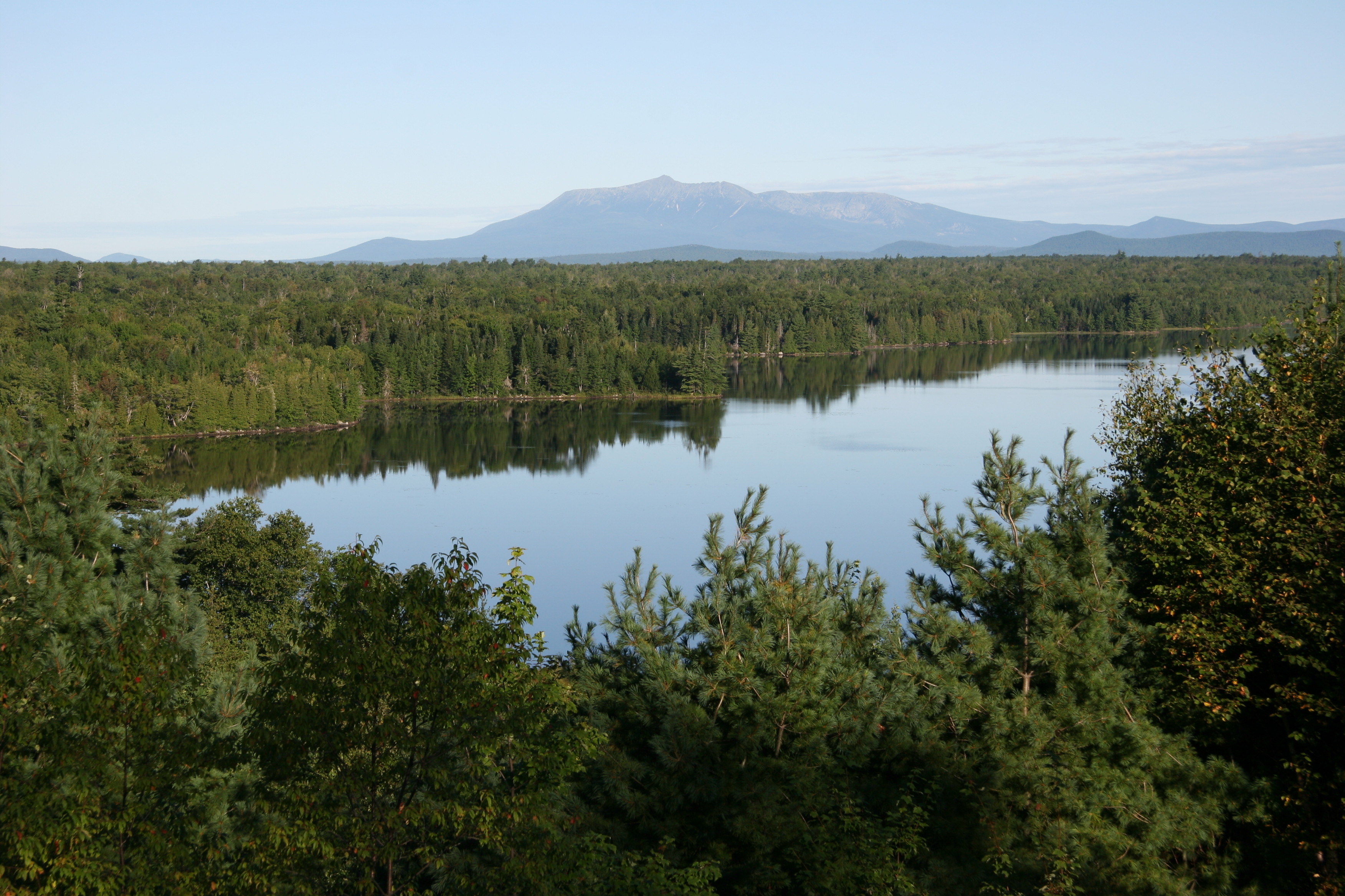
Mount Katahdin in the distance

100 Mile Wilderness and Mt. Katahdin summit

100 Mile Wilderness and Mt. Katahdin summit

Penobscot River

Mt. Katahdin

The Look-Off
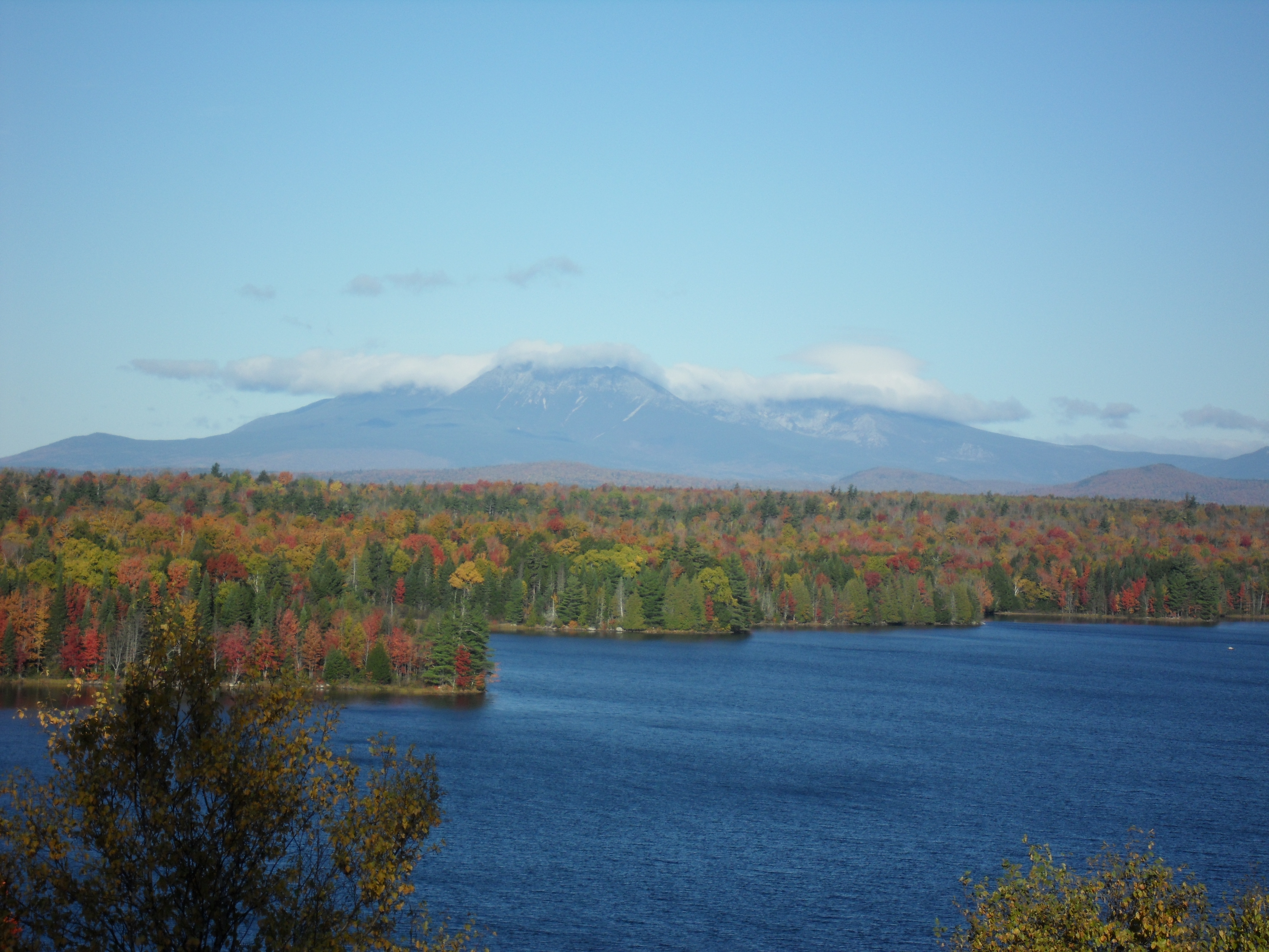
Mount Katahdin in Autumn
Topographic Map of 77 Powersville Rd, Medway, ME, USA
Find elevation by address:

Places near 77 Powersville Rd, Medway, ME, USA:
Powersville Road
Medway
5 Church St, East Millinocket, ME, USA
Woodville Rd, Woodville, ME, USA
Woodville
104 Wassau St
51 Maple St
Millinocket
Butterfield Ridge Road
10 Sweet Rd, Lincoln, ME, USA
Chester
S Chester Rd, Chester, ME, USA
12 Aroostook Rd, Mattawamkeag, ME, USA
Lincoln
Lincoln
99 River Rd
117 Mackenzie Ave
ME-11, Stacyville, ME, USA
Lincoln
Stacyville
Recent Searches:
- Elevation of Corso Fratelli Cairoli, 35, Macerata MC, Italy
- Elevation of Tallevast Rd, Sarasota, FL, USA
- Elevation of 4th St E, Sonoma, CA, USA
- Elevation of Black Hollow Rd, Pennsdale, PA, USA
- Elevation of Oakland Ave, Williamsport, PA, USA
- Elevation of Pedrógão Grande, Portugal
- Elevation of Klee Dr, Martinsburg, WV, USA
- Elevation of Via Roma, Pieranica CR, Italy
- Elevation of Tavkvetili Mountain, Georgia
- Elevation of Hartfords Bluff Cir, Mt Pleasant, SC, USA