Elevation of 99 River Rd, Lincoln, ME, USA
Location: United States > Maine > Penobscot County > Lincoln > Lincoln >
Longitude: -68.5403108
Latitude: 45.3576526
Elevation: 64m / 210feet
Barometric Pressure: 0KPa
Related Photos:

Looking Up the Penobscot River

Looking Up the Penobscot River

smal portion

100 Mile Wilderness and Mt. Katahdin summit
100 Mile Wilderness and Mt. Katahdin summit
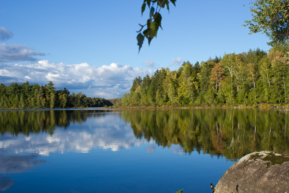
Reflections on a rural pond
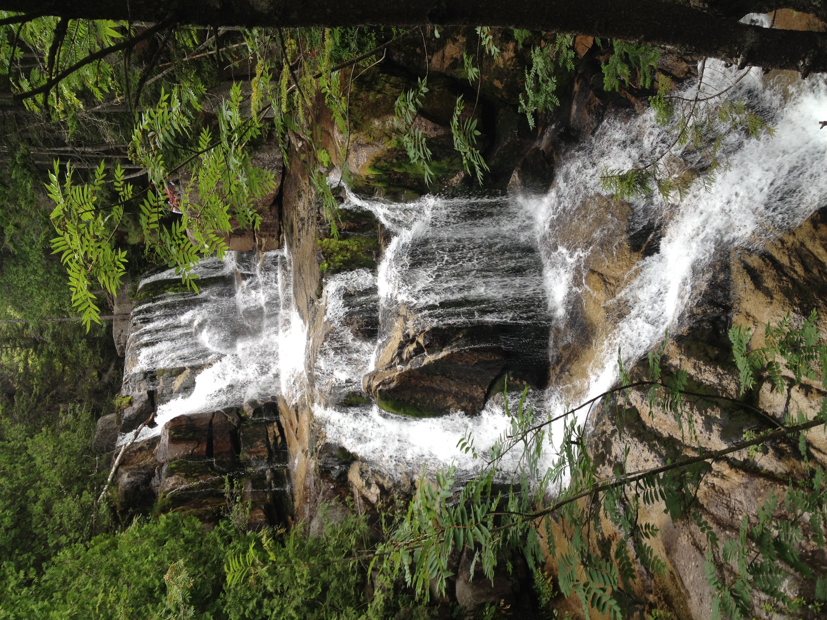
100 Mile Wilderness and Mt. Katahdin summit
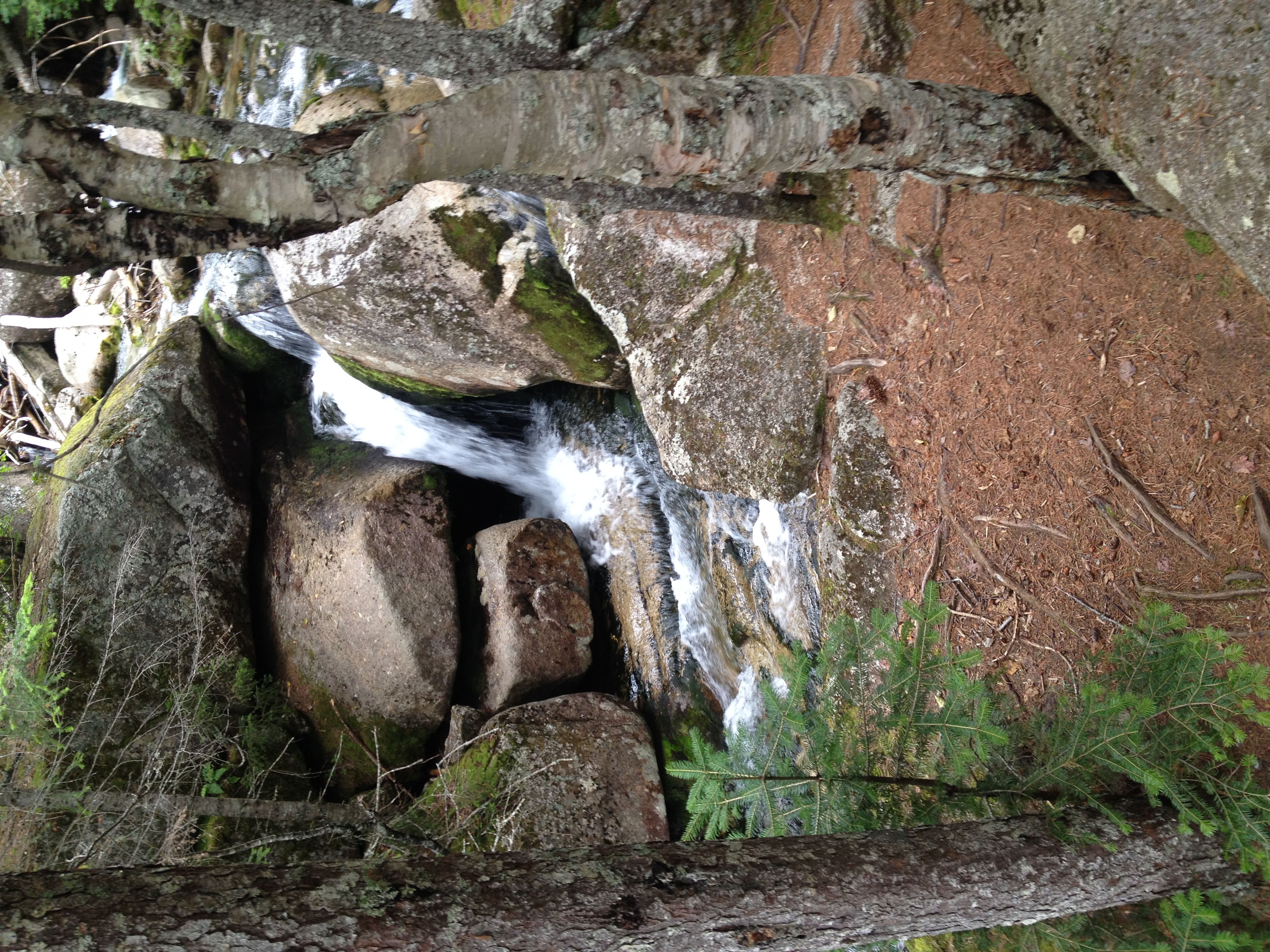
Gordon Brook

Sunset river series 19

Varied Thrush - Chester, ME 12/05/2014
Howland Tannery

100 Mile Wilderness and Mt. Katahdin summit

Glassy blue

2011 08 24 165338

2011 08 24 165426

Morning trees on fiyah
Topographic Map of 99 River Rd, Lincoln, ME, USA
Find elevation by address:

Places near 99 River Rd, Lincoln, ME, USA:
Lincoln
Lincoln
S Chester Rd, Chester, ME, USA
Enfield Road
117 Mackenzie Ave
Penobscot County
Transalpine Rd, Lincoln, ME, USA
Chester
Lincoln
800 Transalpine Rd
10 Collins Point Rd
10 Sweet Rd, Lincoln, ME, USA
Woodville Rd, Woodville, ME, USA
647 Main Rd
Woodville
10 W Old Main Rd, Lowell, ME, USA
Lowell
Butterfield Ridge Road
River Rd, Lagrange, ME, USA
ME-, Edinburg, ME, USA
Recent Searches:
- Elevation of 10370, West 107th Circle, Westminster, Jefferson County, Colorado, 80021, USA
- Elevation of 611, Roman Road, Old Ford, Bow, London, England, E3 2RW, United Kingdom
- Elevation of 116, Beartown Road, Underhill, Chittenden County, Vermont, 05489, USA
- Elevation of Window Rock, Colfax County, New Mexico, 87714, USA
- Elevation of 4807, Rosecroft Street, Kempsville Gardens, Virginia Beach, Virginia, 23464, USA
- Elevation map of Matawinie, Quebec, Canada
- Elevation of Sainte-Émélie-de-l'Énergie, Matawinie, Quebec, Canada
- Elevation of Rue du Pont, Sainte-Émélie-de-l'Énergie, Matawinie, Quebec, J0K2K0, Canada
- Elevation of 8, Rue de Bécancour, Blainville, Thérèse-De Blainville, Quebec, J7B1N2, Canada
- Elevation of Wilmot Court North, 163, University Avenue West, Northdale, Waterloo, Region of Waterloo, Ontario, N2L6B6, Canada
- Elevation map of Panamá Province, Panama
- Elevation of Balboa, Panamá Province, Panama
- Elevation of San Miguel, Balboa, Panamá Province, Panama
- Elevation of Isla Gibraleón, San Miguel, Balboa, Panamá Province, Panama
- Elevation of 4655, Krischke Road, Schulenburg, Fayette County, Texas, 78956, USA
- Elevation of Carnegie Avenue, Downtown Cleveland, Cleveland, Cuyahoga County, Ohio, 44115, USA
- Elevation of Walhonding, Coshocton County, Ohio, USA
- Elevation of Clifton Down, Clifton, Bristol, City of Bristol, England, BS8 3HU, United Kingdom
- Elevation map of Auvergne-Rhône-Alpes, France
- Elevation map of Upper Savoy, Auvergne-Rhône-Alpes, France