Elevation of Enfield Road, Enfield Rd, Maine, USA
| Latitude | 45.3087535 |
|---|---|
| Longitude | -68.5430789 |
| Elevation | 98m / 322feet |
| Barometric Pressure | 1002KPa |
Related Photos:

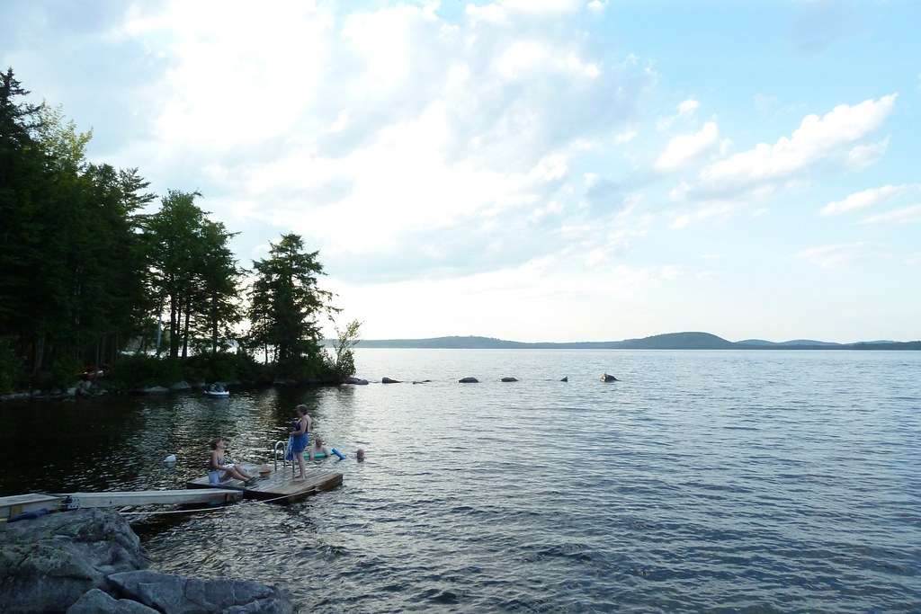
Looking Up the Penobscot River

Looking Up the Penobscot River

October 6 morning
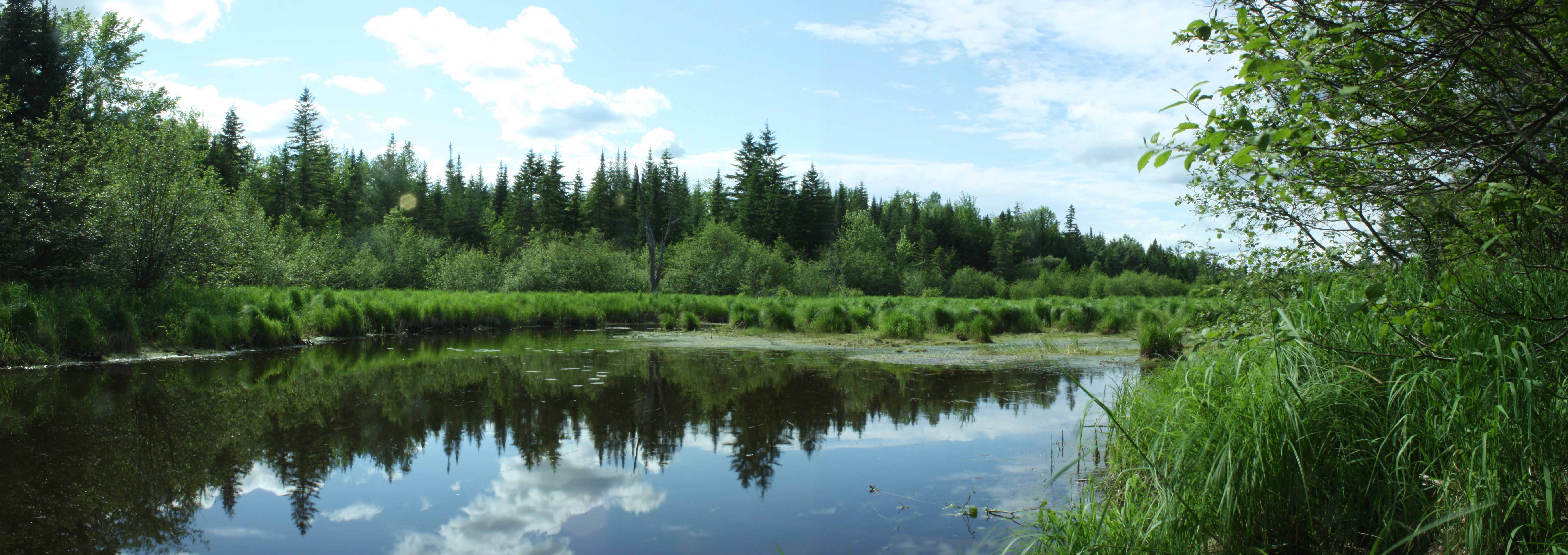
Reflections on a rural pond
100 Mile Wilderness and Mt. Katahdin summit

End of winter sunrise 4

smal portion

Morning trees on fiyah
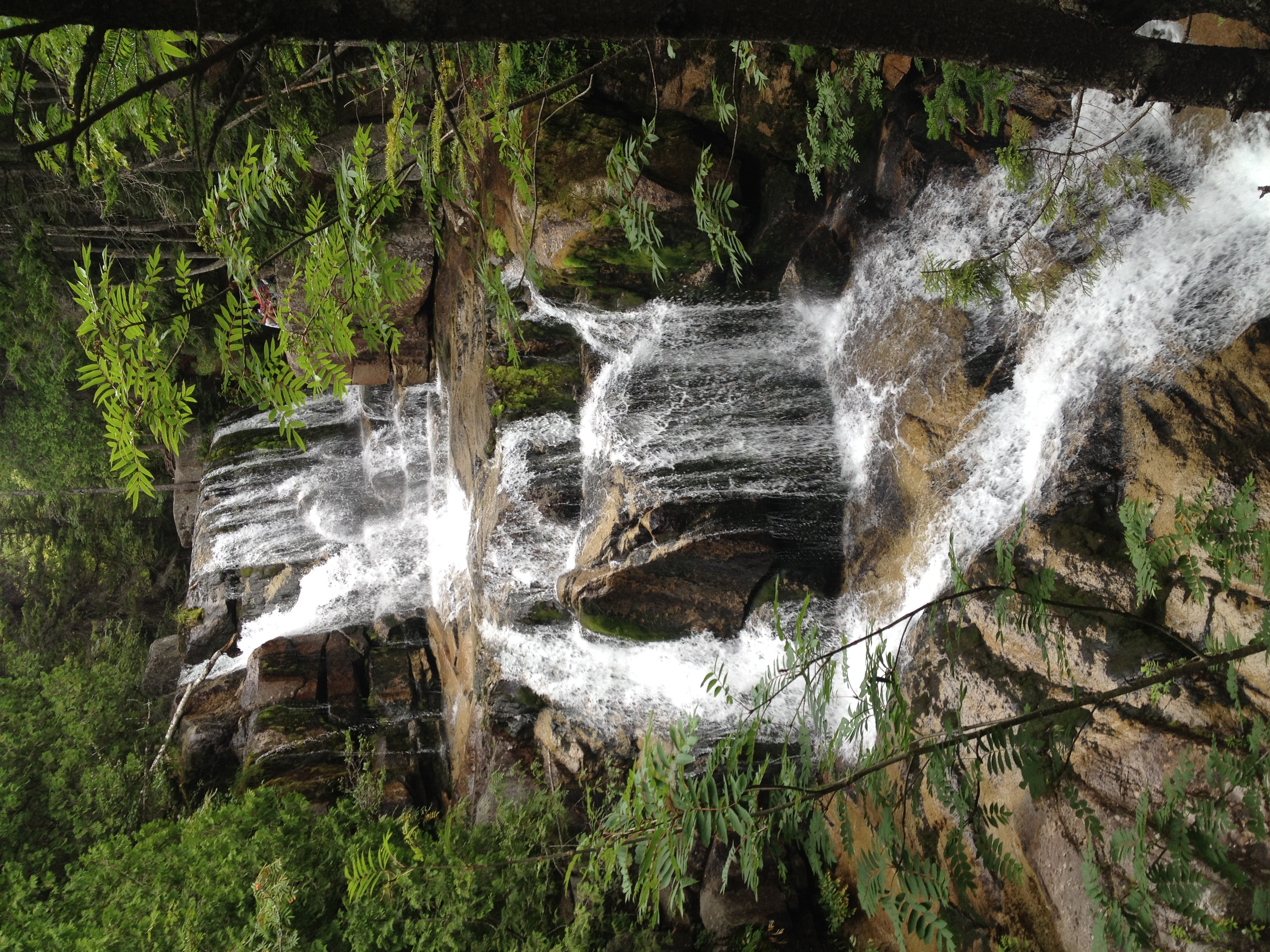
Gordon Brook

2011 08 24 165338

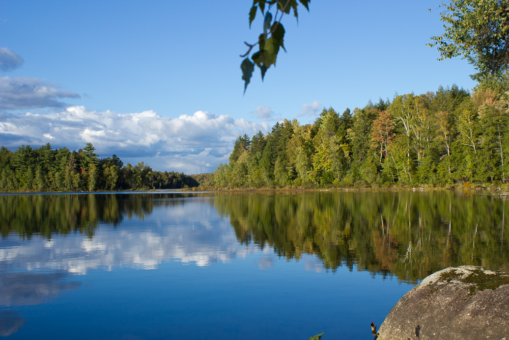
Glassy blue

100 Mile Wilderness and Mt. Katahdin summit

Now you know what heaven looks like

100 Mile Wilderness and Mt. Katahdin summit
2011 08 24 165426
Cold Stream Pond
Howland Tannery
2011 08 24 165250
100 Mile Wilderness and Mt. Katahdin summit

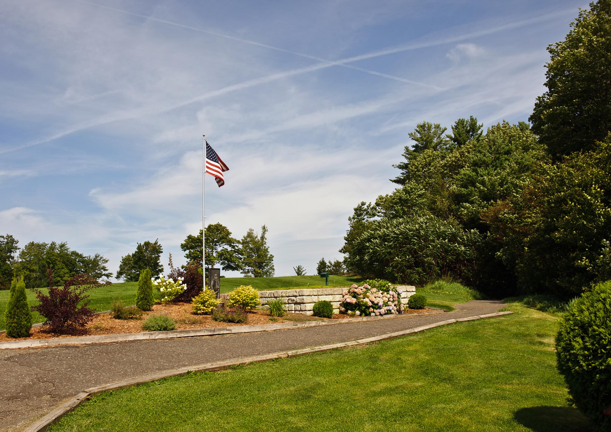
Memorial Service Diane "Dee" Condon Jim Jaron
Topographic Map of Enfield Road, Enfield Rd, Maine, USA
Find elevation by address:
Places near Enfield Road, Enfield Rd, Maine, USA:
Penobscot County
99 River Rd
Transalpine Rd, Lincoln, ME, USA
Lincoln
Lincoln
117 Mackenzie Ave
800 Transalpine Rd
10 Collins Point Rd
S Chester Rd, Chester, ME, USA
Lincoln
Chester
647 Main Rd
10 W Old Main Rd, Lowell, ME, USA
Lowell
10 Sweet Rd, Lincoln, ME, USA
ME-, Edinburg, ME, USA
River Rd, Lagrange, ME, USA
Woodville Rd, Woodville, ME, USA
Edinburg
Woodville
Recent Searches:
- Elevation of Burnt Store Village, Charlotte County, Florida, 33955, USA
- Elevation of 26552, Angelica Road, Punta Gorda, Charlotte County, Florida, 33955, USA
- Elevation of 104, Chancery Road, Middletown Township, Bucks County, Pennsylvania, 19047, USA
- Elevation of 1212, Cypress Lane, Dayton, Liberty County, Texas, 77535, USA
- Elevation map of Central Hungary, Hungary
- Elevation map of Pest, Central Hungary, Hungary
- Elevation of Pilisszentkereszt, Pest, Central Hungary, Hungary
- Elevation of Dharamkot Tahsil, Punjab, India
- Elevation of Bhinder Khurd, Dharamkot Tahsil, Punjab, India
- Elevation of 2881, Chabot Drive, San Bruno, San Mateo County, California, 94066, USA
- Elevation of 10370, West 107th Circle, Westminster, Jefferson County, Colorado, 80021, USA
- Elevation of 611, Roman Road, Old Ford, Bow, London, England, E3 2RW, United Kingdom
- Elevation of 116, Beartown Road, Underhill, Chittenden County, Vermont, 05489, USA
- Elevation of Window Rock, Colfax County, New Mexico, 87714, USA
- Elevation of 4807, Rosecroft Street, Kempsville Gardens, Virginia Beach, Virginia, 23464, USA
- Elevation map of Matawinie, Quebec, Canada
- Elevation of Sainte-Émélie-de-l'Énergie, Matawinie, Quebec, Canada
- Elevation of Rue du Pont, Sainte-Émélie-de-l'Énergie, Matawinie, Quebec, J0K2K0, Canada
- Elevation of 8, Rue de Bécancour, Blainville, Thérèse-De Blainville, Quebec, J7B1N2, Canada
- Elevation of Wilmot Court North, 163, University Avenue West, Northdale, Waterloo, Region of Waterloo, Ontario, N2L6B6, Canada