Elevation of Lincoln, ME, USA
Location: United States > Maine > Penobscot County > Lincoln >
Longitude: -68.505000
Latitude: 45.3622301
Elevation: 67m / 220feet
Barometric Pressure: 101KPa
Elevation Map:
Satellite Map:
Related Photos:

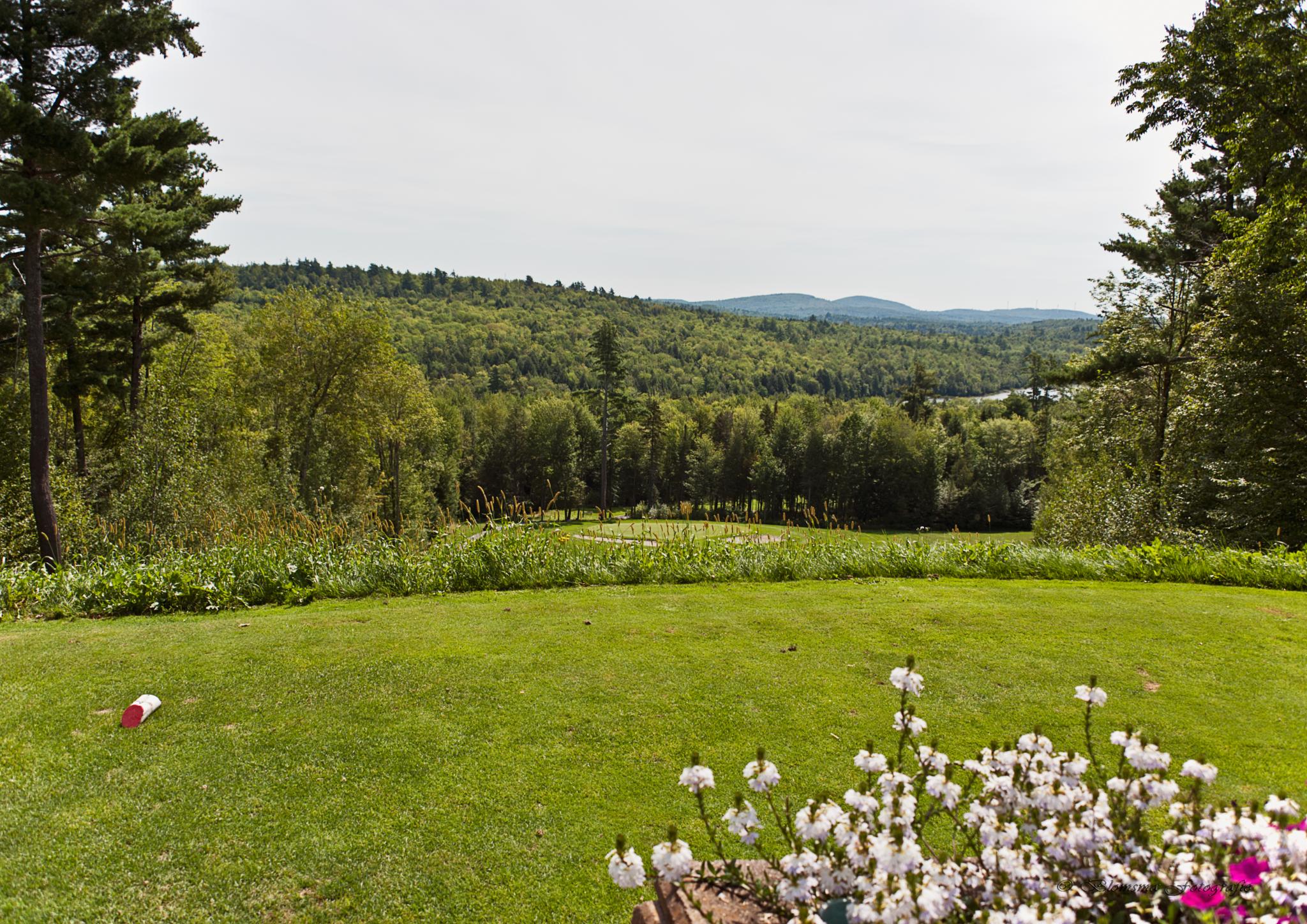
Looking Up the Penobscot River

Looking Up the Penobscot River

October 6 morning

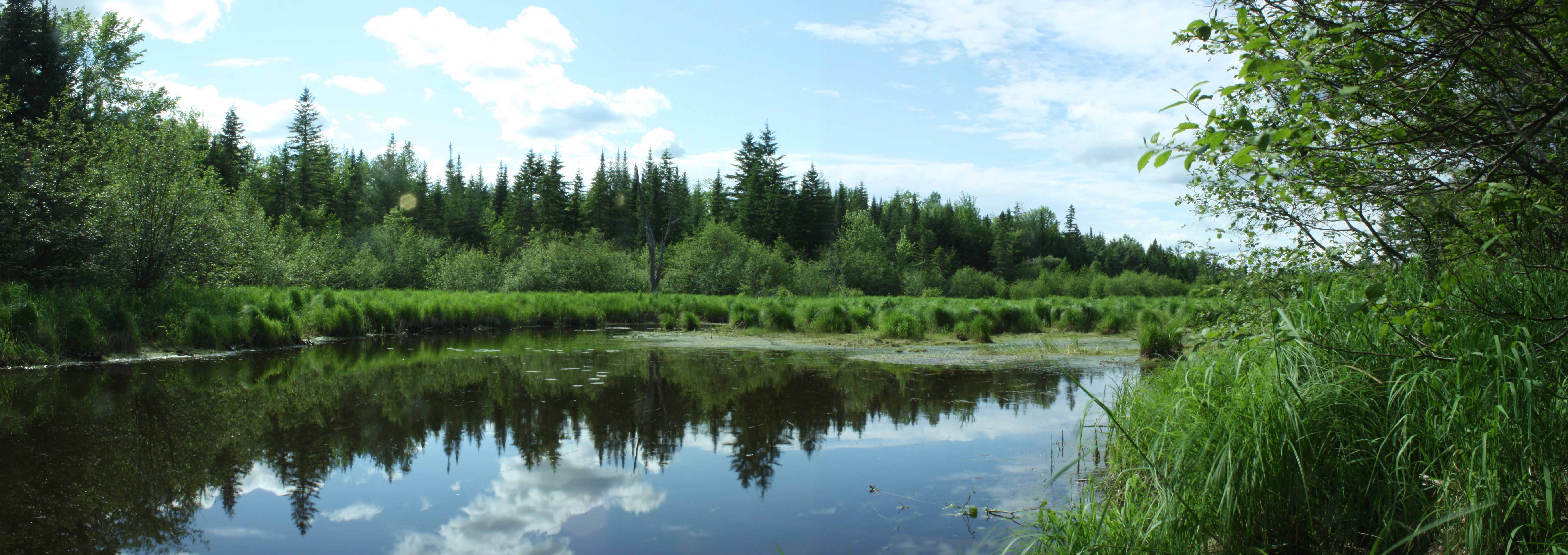
Reflections on a rural pond

Into the Sun

End of winter sunrise 4

Varied Thrush - Chester, ME 12/05/2014

smal portion

Morning trees on fiyah
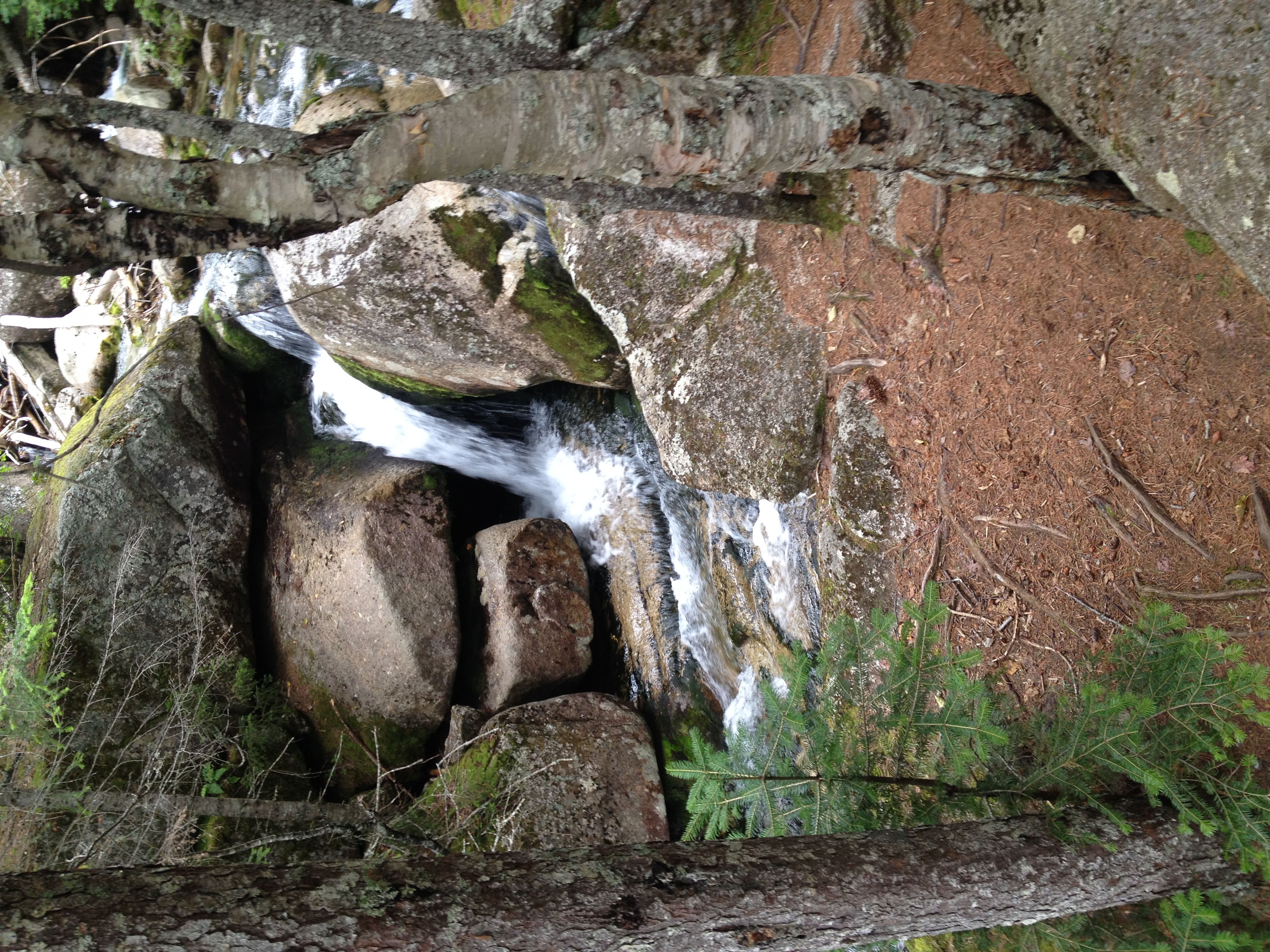
Gordon Brook

2011 08 24 165338

Glassy blue

100 Mile Wilderness and Mt. Katahdin summit

Now you know what heaven looks like

2011 08 24 165426

Cold Stream Pond
2011 08 24 165250
100 Mile Wilderness and Mt. Katahdin summit

Memorial Service Diane "Dee" Condon Jim Jaron

100 Mile Wilderness and Mt. Katahdin summit
Topographic Map of Lincoln, ME, USA
Find elevation by address:

Places in Lincoln, ME, USA:
Places near Lincoln, ME, USA:
Lincoln
117 Mackenzie Ave
99 River Rd
S Chester Rd, Chester, ME, USA
Lincoln
Transalpine Rd, Lincoln, ME, USA
Chester
Enfield Road
800 Transalpine Rd
10 Collins Point Rd
10 Sweet Rd, Lincoln, ME, USA
Penobscot County
Woodville Rd, Woodville, ME, USA
Woodville
10 W Old Main Rd, Lowell, ME, USA
Butterfield Ridge Road
Lowell
Winn
647 Main Rd
39 Old E Winn Rd, Winn, ME, USA
Recent Searches:
- Elevation of Corso Fratelli Cairoli, 35, Macerata MC, Italy
- Elevation of Tallevast Rd, Sarasota, FL, USA
- Elevation of 4th St E, Sonoma, CA, USA
- Elevation of Black Hollow Rd, Pennsdale, PA, USA
- Elevation of Oakland Ave, Williamsport, PA, USA
- Elevation of Pedrógão Grande, Portugal
- Elevation of Klee Dr, Martinsburg, WV, USA
- Elevation of Via Roma, Pieranica CR, Italy
- Elevation of Tavkvetili Mountain, Georgia
- Elevation of Hartfords Bluff Cir, Mt Pleasant, SC, USA