Elevation of ME-, Edinburg, ME, USA
Location: United States > Maine > Penobscot County > Edinburg >
Longitude: -68.637490
Latitude: 45.1705103
Elevation: 47m / 154feet
Barometric Pressure: 101KPa
Elevation Map:
Satellite Map:
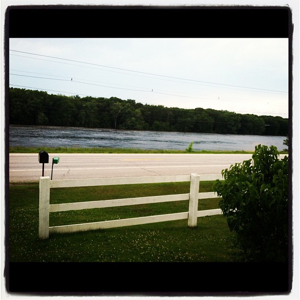
Related Photos:
View from the front door.

Glassy blue

October 6 morning

End of winter sunrise 4

Penobscot River

Morning trees on fiyah

Now you know what heaven looks like

Cold Stream Pond
Howland Tannery

Memorial Service Diane "Dee" Condon Jim Jaron
Topographic Map of ME-, Edinburg, ME, USA
Find elevation by address:

Places near ME-, Edinburg, ME, USA:
647 Main Rd
ME-, Argyle, ME, USA
Edinburg
Greenbush
Cardville Road
Argyle
65 Madden Ln, Greenbush, ME, USA
River Rd, Lagrange, ME, USA
Penobscot County
Enfield Road
Lowell
Bennoch Rd, Lagrange, ME, USA
10 W Old Main Rd, Lowell, ME, USA
Greenfield
Lagrange
Medford Road
99 River Rd
Transalpine Rd, Lincoln, ME, USA
800 Transalpine Rd
East Central Penobscot
Recent Searches:
- Elevation of Corso Fratelli Cairoli, 35, Macerata MC, Italy
- Elevation of Tallevast Rd, Sarasota, FL, USA
- Elevation of 4th St E, Sonoma, CA, USA
- Elevation of Black Hollow Rd, Pennsdale, PA, USA
- Elevation of Oakland Ave, Williamsport, PA, USA
- Elevation of Pedrógão Grande, Portugal
- Elevation of Klee Dr, Martinsburg, WV, USA
- Elevation of Via Roma, Pieranica CR, Italy
- Elevation of Tavkvetili Mountain, Georgia
- Elevation of Hartfords Bluff Cir, Mt Pleasant, SC, USA