Elevation of ME-, Argyle, ME, USA
Location: United States > Maine > Penobscot County > Argyle >
Longitude: -68.649851
Latitude: 45.1190831
Elevation: 40m / 131feet
Barometric Pressure: 101KPa
Elevation Map:
Satellite Map:
Related Photos:
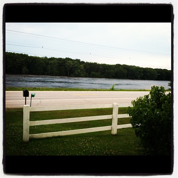
View from the front door.

October 6 morning

End of winter sunrise 4
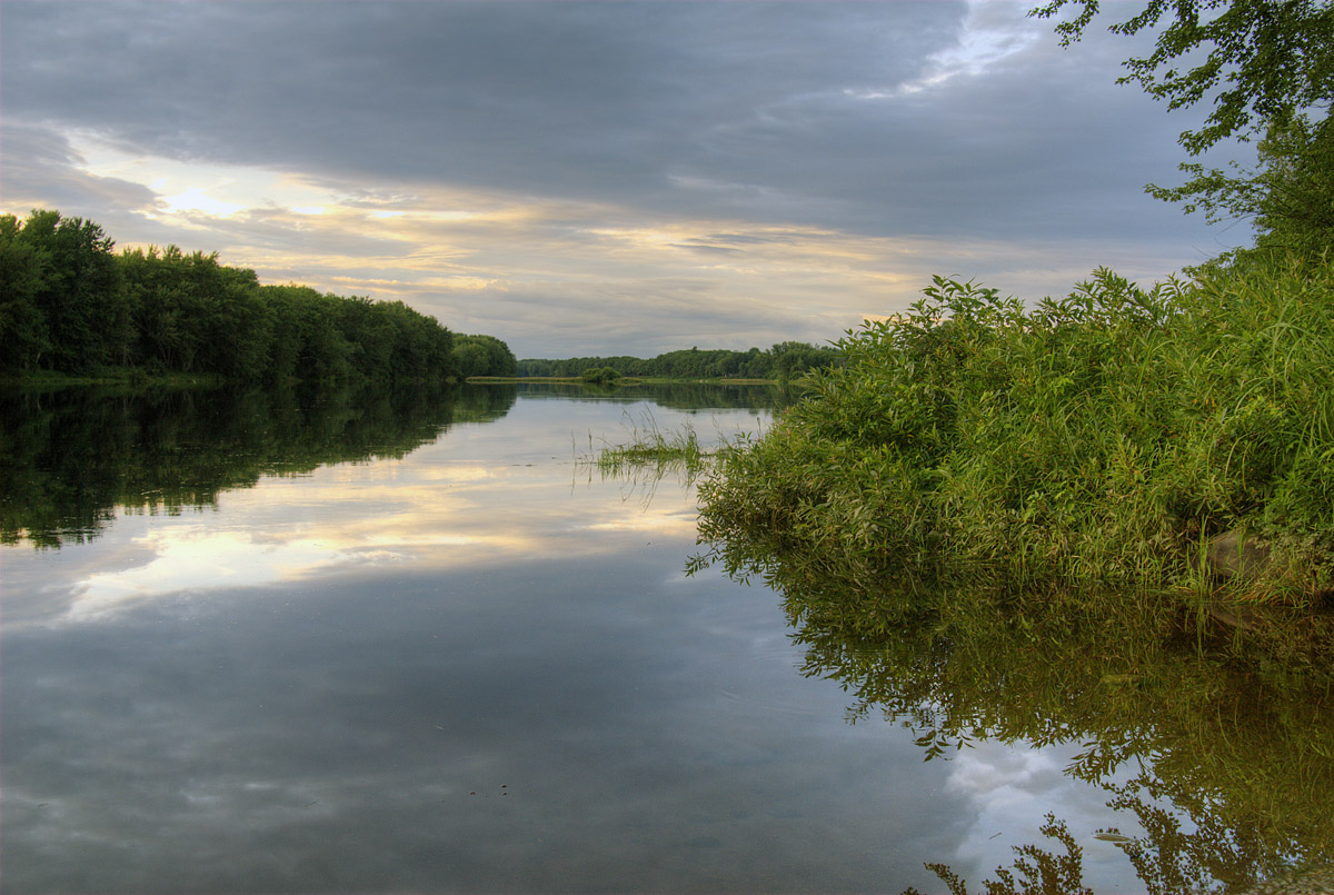
Penobscot River

Foggy Morning at Old Town Maine

Morning trees on fiyah
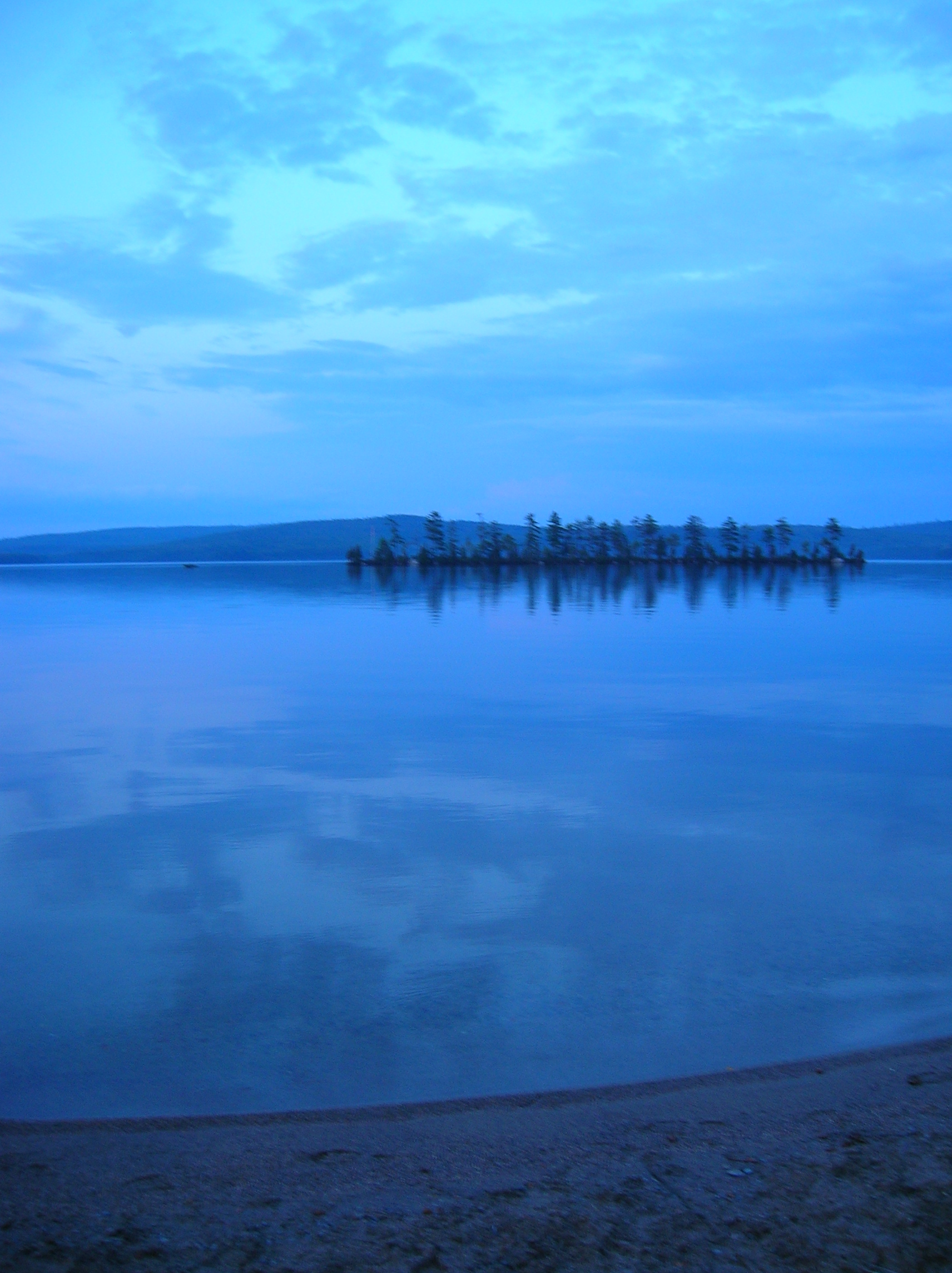
Glassy blue

Now you know what heaven looks like
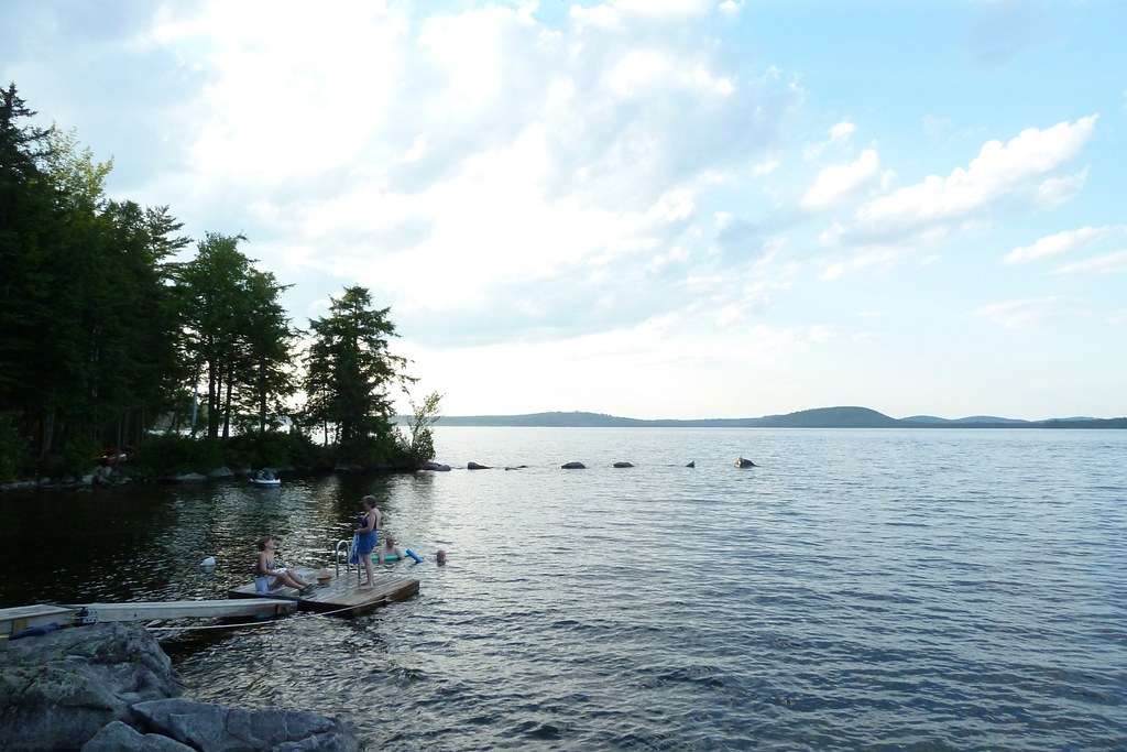
Cold Stream Pond
Howland Tannery

Memorial Service Diane "Dee" Condon Jim Jaron
Topographic Map of ME-, Argyle, ME, USA
Find elevation by address:

Places near ME-, Argyle, ME, USA:
Greenbush
ME-, Edinburg, ME, USA
Argyle
Cardville Road
Edinburg
65 Madden Ln, Greenbush, ME, USA
647 Main Rd
River Rd, Lagrange, ME, USA
Bennoch Rd, Lagrange, ME, USA
Greenfield
Lowell
Lagrange
27 Murphy Rd
Medford Road
10 W Old Main Rd, Lowell, ME, USA
Penobscot County
Enfield Road
East Central Penobscot
ME-16, Milo, ME, USA
Transalpine Rd, Lincoln, ME, USA
Recent Searches:
- Elevation of Corso Fratelli Cairoli, 35, Macerata MC, Italy
- Elevation of Tallevast Rd, Sarasota, FL, USA
- Elevation of 4th St E, Sonoma, CA, USA
- Elevation of Black Hollow Rd, Pennsdale, PA, USA
- Elevation of Oakland Ave, Williamsport, PA, USA
- Elevation of Pedrógão Grande, Portugal
- Elevation of Klee Dr, Martinsburg, WV, USA
- Elevation of Via Roma, Pieranica CR, Italy
- Elevation of Tavkvetili Mountain, Georgia
- Elevation of Hartfords Bluff Cir, Mt Pleasant, SC, USA