Elevation of ME-16, Milo, ME, USA
Location: United States > Maine > Piscataquis County > Southeast Piscataquis >
Longitude: -68.885933
Latitude: 45.1839509
Elevation: 87m / 285feet
Barometric Pressure: 100KPa
Elevation Map:
Satellite Map:
Related Photos:

Bridge 1085-01
2006 Aug epic maine trip with Ross. (62)

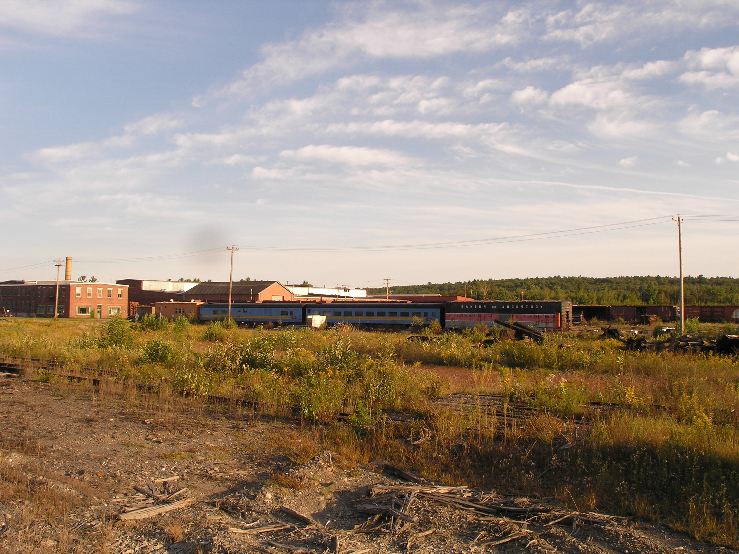
2006 Aug epic trip to Maine - rail yard (4)

Sebec River at Dusk

splash!

Bridge 1085-02

Bridge 1085-23
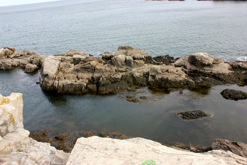
rock on

oceanic paradise

Bridge 1085-24

Kittery Point, Maine
Topographic Map of ME-16, Milo, ME, USA
Find elevation by address:

Places near ME-16, Milo, ME, USA:
Lagrange
Medford Road
Bennoch Rd, Lagrange, ME, USA
Schoodic Lake Dam
27 Murphy Rd
River Rd, Lagrange, ME, USA
Edinburg
Argyle
ME-, Argyle, ME, USA
ME-, Edinburg, ME, USA
647 Main Rd
Greenbush
Cardville Road
65 Madden Ln, Greenbush, ME, USA
Penobscot County
Enfield Road
99 River Rd
S Chester Rd, Chester, ME, USA
Lowell
Lincoln
Recent Searches:
- Elevation of Corso Fratelli Cairoli, 35, Macerata MC, Italy
- Elevation of Tallevast Rd, Sarasota, FL, USA
- Elevation of 4th St E, Sonoma, CA, USA
- Elevation of Black Hollow Rd, Pennsdale, PA, USA
- Elevation of Oakland Ave, Williamsport, PA, USA
- Elevation of Pedrógão Grande, Portugal
- Elevation of Klee Dr, Martinsburg, WV, USA
- Elevation of Via Roma, Pieranica CR, Italy
- Elevation of Tavkvetili Mountain, Georgia
- Elevation of Hartfords Bluff Cir, Mt Pleasant, SC, USA