Elevation of 51 Maple St, Millinocket, ME, USA
Location: United States > Maine > Millinocket >
Longitude: -68.702441
Latitude: 45.6556064
Elevation: -10000m / -32808feet
Barometric Pressure: 0KPa
Related Photos:

Stunning views today. Pamola Peak and Knife Edge from Baxter Peak #thankspercival #katahdin #baxterstatepark #itnevergetsold

100 Mile Wilderness (9)

South Twin Lake

Leaves of Maine

Aurora over Mount Katahdin

Along the Lake

Penobscot River

100 Mile Wilderness and Mt. Katahdin summit

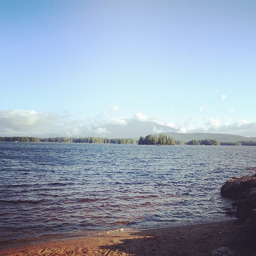
Millinocket Lake

Millinocket Lake Camping Trip

Millinocket Lake Camping Trip

Sun coming out

2005 Aug Maine trip with Lacey (21)

"The Office"

Millinocket Lake Camping Trip

Katahdin at Sunset
Good morning, Katahdin.
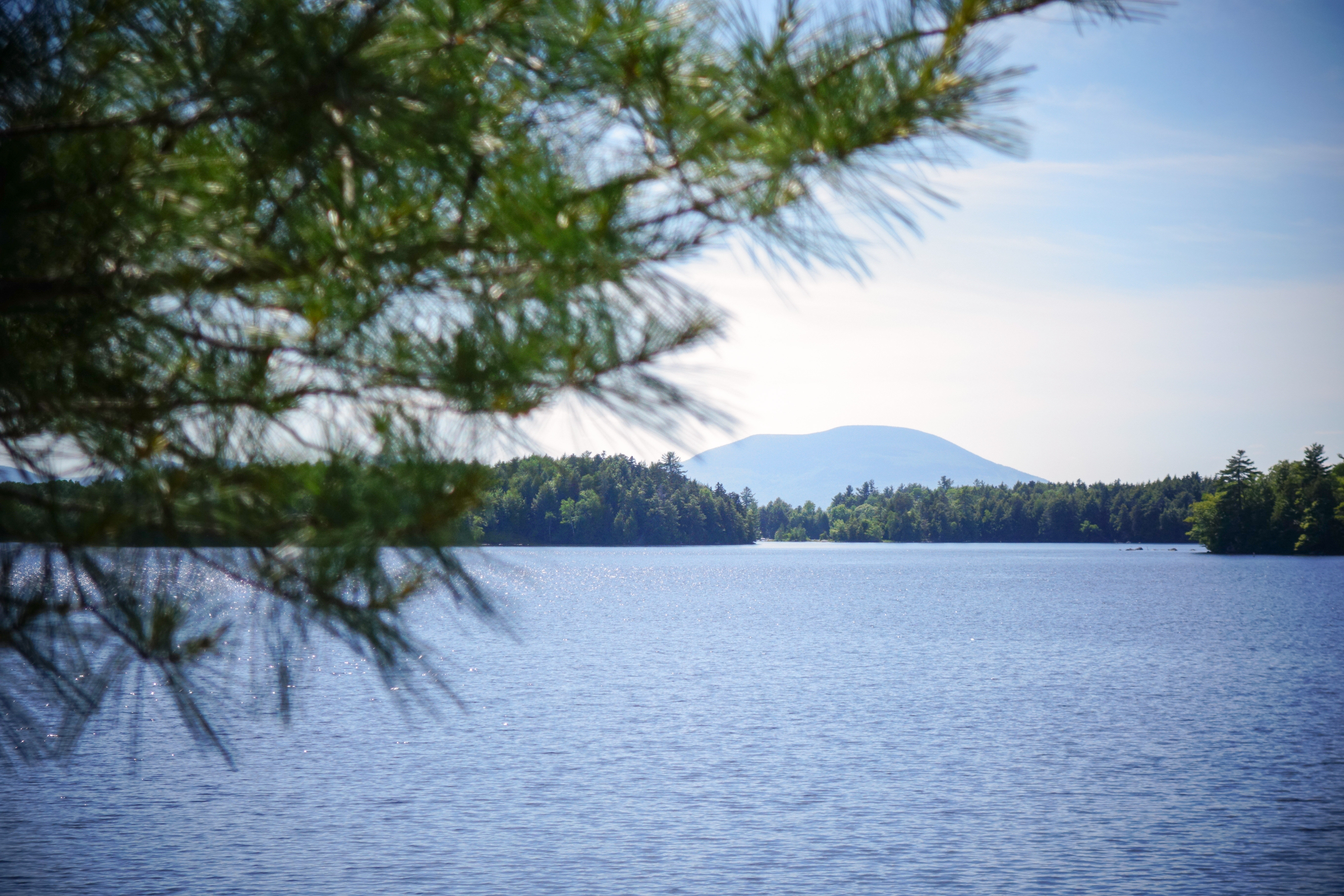
Mt. Katahdin from Elbow Lake
Topographic Map of 51 Maple St, Millinocket, ME, USA
Find elevation by address:

Places near 51 Maple St, Millinocket, ME, USA:
Millinocket
104 Wassau St
5 Church St, East Millinocket, ME, USA
30 Twin Pines Rd
71 Millinocket Lake Rd
Powersville Road
77 Powersville Rd
Medway
North Penobscot
Woodville Rd, Woodville, ME, USA
ME-11, Stacyville, ME, USA
Stacyville
Woodville
S Chester Rd, Chester, ME, USA
Chester
10 Sweet Rd, Lincoln, ME, USA
99 River Rd
Butterfield Ridge Road
Lincoln
Lincoln
Recent Searches:
- Elevation map of Greenland, Greenland
- Elevation of Sullivan Hill, New York, New York, 10002, USA
- Elevation of Morehead Road, Withrow Downs, Charlotte, Mecklenburg County, North Carolina, 28262, USA
- Elevation of 2800, Morehead Road, Withrow Downs, Charlotte, Mecklenburg County, North Carolina, 28262, USA
- Elevation of Yangbi Yi Autonomous County, Yunnan, China
- Elevation of Pingpo, Yangbi Yi Autonomous County, Yunnan, China
- Elevation of Mount Malong, Pingpo, Yangbi Yi Autonomous County, Yunnan, China
- Elevation map of Yongping County, Yunnan, China
- Elevation of North 8th Street, Palatka, Putnam County, Florida, 32177, USA
- Elevation of 107, Big Apple Road, East Palatka, Putnam County, Florida, 32131, USA
- Elevation of Jiezi, Chongzhou City, Sichuan, China
- Elevation of Chongzhou City, Sichuan, China
- Elevation of Huaiyuan, Chongzhou City, Sichuan, China
- Elevation of Qingxia, Chengdu, Sichuan, China
- Elevation of Corso Fratelli Cairoli, 35, Macerata MC, Italy
- Elevation of Tallevast Rd, Sarasota, FL, USA
- Elevation of 4th St E, Sonoma, CA, USA
- Elevation of Black Hollow Rd, Pennsdale, PA, USA
- Elevation of Oakland Ave, Williamsport, PA, USA
- Elevation of Pedrógão Grande, Portugal