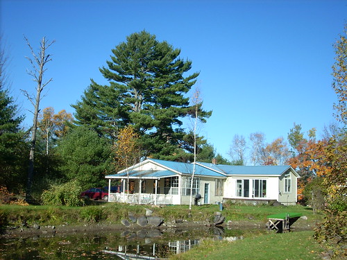
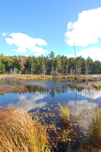
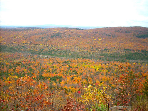
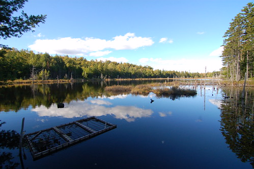
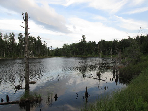
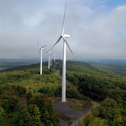
Elevation of Tucker Ridge Rd, Springfield, ME, USA
Location: United States > Maine > Penobscot County > Webster > Plantation Of Webster >
Longitude: -68.130929
Latitude: 45.4925582
Elevation: 99m / 325feet
Barometric Pressure: 100KPa
Related Photos:
Topographic Map of Tucker Ridge Rd, Springfield, ME, USA
Find elevation by address:

Places near Tucker Ridge Rd, Springfield, ME, USA:
187 Tucker Ridge Rd
Plantation Of Webster
Webster
Kingman
ME-, Kingman, ME, USA
Kingman
39 Old E Winn Rd, Winn, ME, USA
Thomas Hill Road
Lee
Winn
Bancroft
12 Aroostook Rd, Mattawamkeag, ME, USA
Butterfield Ridge Road
Danforth
Woodville
South Aroostook
Dobsis Dam
10 Sweet Rd, Lincoln, ME, USA
Houlton Rd, Danforth, ME, USA
6 Waterfront Dr, Weston, ME, USA
Recent Searches:
- Elevation of Corso Fratelli Cairoli, 35, Macerata MC, Italy
- Elevation of Tallevast Rd, Sarasota, FL, USA
- Elevation of 4th St E, Sonoma, CA, USA
- Elevation of Black Hollow Rd, Pennsdale, PA, USA
- Elevation of Oakland Ave, Williamsport, PA, USA
- Elevation of Pedrógão Grande, Portugal
- Elevation of Klee Dr, Martinsburg, WV, USA
- Elevation of Via Roma, Pieranica CR, Italy
- Elevation of Tavkvetili Mountain, Georgia
- Elevation of Hartfords Bluff Cir, Mt Pleasant, SC, USA
