Elevation of Grand Lake Stream, ME, USA
Location: United States > Maine > Washington County >
Longitude: -67.774445
Latitude: 45.1795158
Elevation: 103m / 338feet
Barometric Pressure: 100KPa
Elevation Map:
Satellite Map:
Related Photos:

our dock

The epic view from our cabin!

sunsets galore

Sunset on West Grand lake

Sunset on Long Lake

the last sunset

Long Lake Panoram
Grand Lake Stream

Julie and Evie

Night in the main camp

Sunset over West Grand Lake

Camera Roll-231

Camera Roll-230

Camera Roll-225

Camera Roll-222

Camera Roll-221

Camera Roll-219

Camera Roll-217

Meal Prep

The Cooks

It's A Fish!

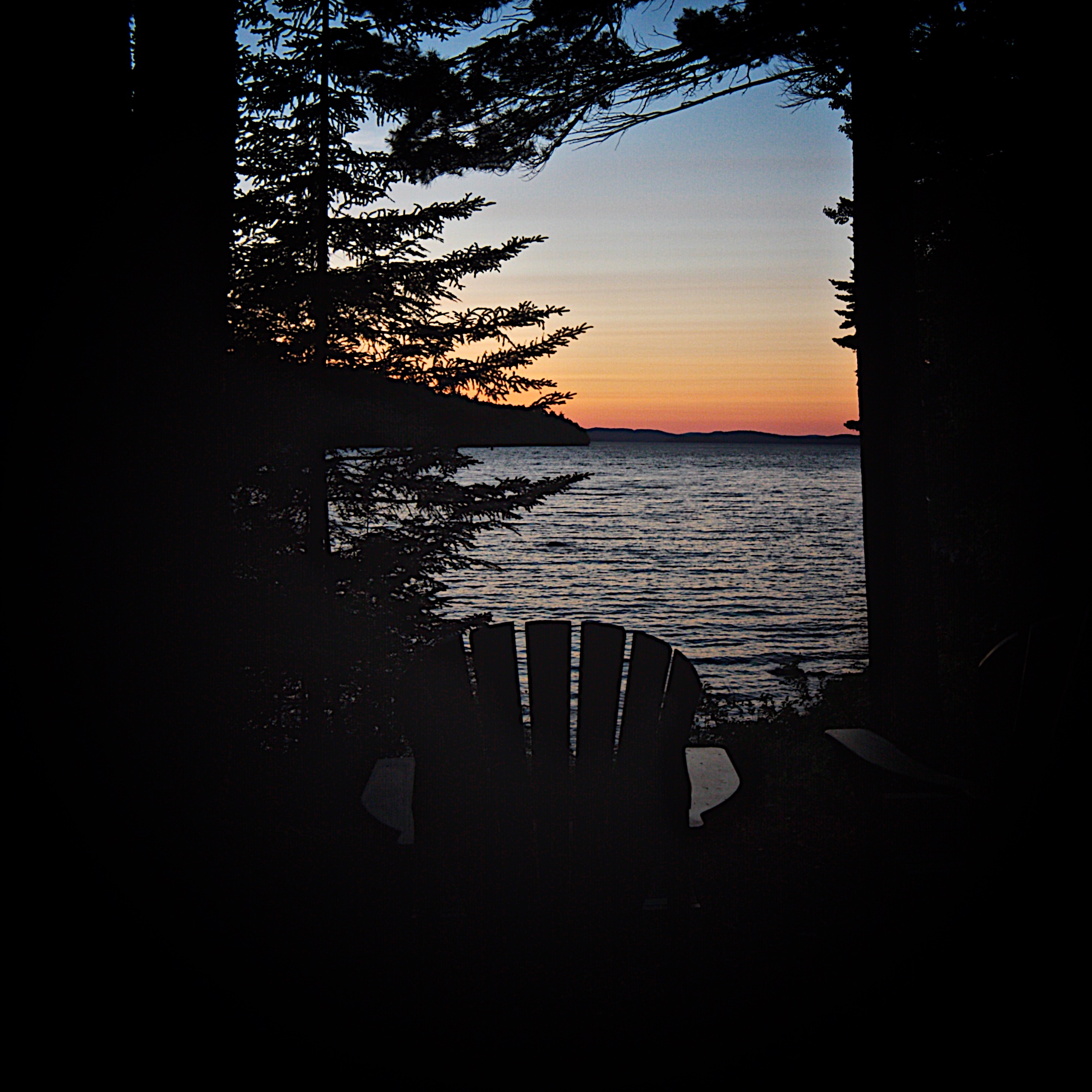
Sunset from the Dock

Turkey Dinner

The Gang

The Glow of the Fire

Burning Questions

Munson Island Sunset
Topographic Map of Grand Lake Stream, ME, USA
Find elevation by address:

Places in Grand Lake Stream, ME, USA:
Places near Grand Lake Stream, ME, USA:
Milford Rd, Grand Lake Stream, ME, USA
North Washington
Indian Township
Dobsis Dam
Crawford
Houlton Rd, Brookton, ME, USA
Houlton Rd, Danforth, ME, USA
187 Tucker Ridge Rd
187 Tucker Ridge Rd
Danforth
Webster
Plantation Of Webster
Thomas Hill Road
6 Waterfront Dr, Weston, ME, USA
Lee
Bancroft
Kingman
ME-, Kingman, ME, USA
Kingman
39 Old E Winn Rd, Winn, ME, USA
Recent Searches:
- Elevation of Corso Fratelli Cairoli, 35, Macerata MC, Italy
- Elevation of Tallevast Rd, Sarasota, FL, USA
- Elevation of 4th St E, Sonoma, CA, USA
- Elevation of Black Hollow Rd, Pennsdale, PA, USA
- Elevation of Oakland Ave, Williamsport, PA, USA
- Elevation of Pedrógão Grande, Portugal
- Elevation of Klee Dr, Martinsburg, WV, USA
- Elevation of Via Roma, Pieranica CR, Italy
- Elevation of Tavkvetili Mountain, Georgia
- Elevation of Hartfords Bluff Cir, Mt Pleasant, SC, USA